Corral Canyon Road
Total Miles
4.1
Technical Rating
Best Time
Spring, Fall
Trail Type
Full-Width Road
Accessible By
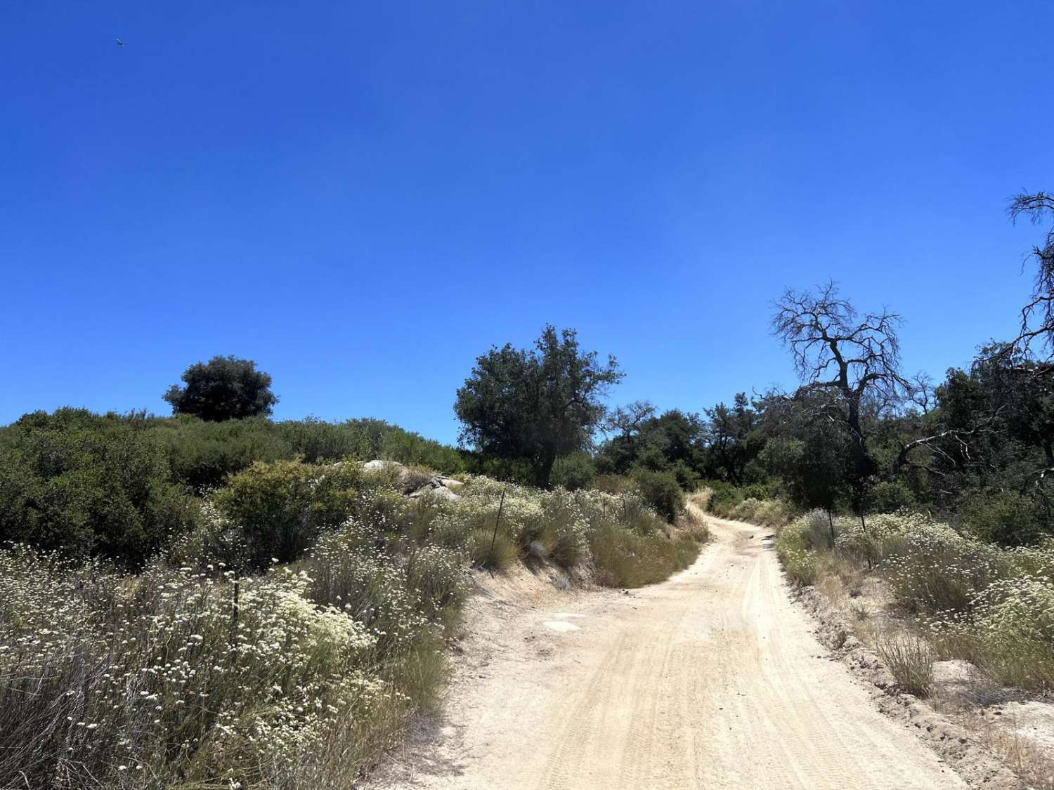
Trail Overview
This is the main east-west connector inside the Corral Canyon OHV area and can be run in either direction. There are some gentle obstacles as this is a poorly maintained forest service road, and can be used to bypass the long way around Los Pinos Mountain Loop, especially the newly created waterfall/rock garden after Hurricane Hillary. Wide enough for a single, full-size 4x4, with close brush at many points along the trail. It makes for a very scenic drive in the mountains.
Photos of Corral Canyon Road

Difficulty
You won't need lockers or a large lift to make it from one side to the other, as there are no major obstacles or severely off-camber situations.
Status Reports
Corral Canyon Road can be accessed by the following ride types:
- High-Clearance 4x4
- SUV
- SxS (60")
- ATV (50")
- Dirt Bike
Corral Canyon Road Map
Popular Trails
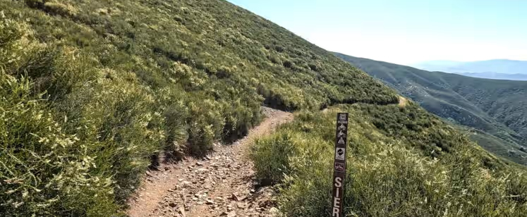
Sierra OHV Trail
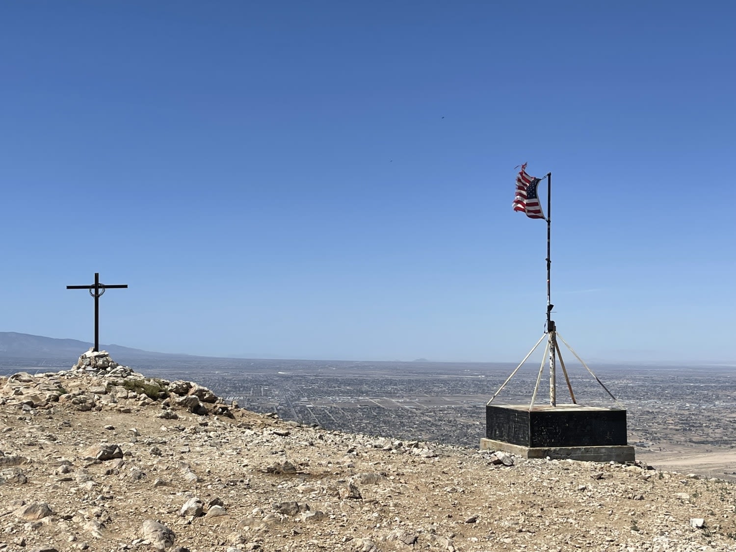
Flagpole Point

Old Culp Valley Road
Chowchilla Mountain Road - FS 5S090
The onX Offroad Difference
onX Offroad combines trail photos, descriptions, difficulty ratings, width restrictions, seasonality, and more in a user-friendly interface. Available on all devices, with offline access and full compatibility with CarPlay and Android Auto. Discover what you’re missing today!