Copper Canyon
Total Miles
1.2
Technical Rating
Best Time
Spring, Summer, Fall, Winter
Trail Type
Full-Width Road
Accessible By
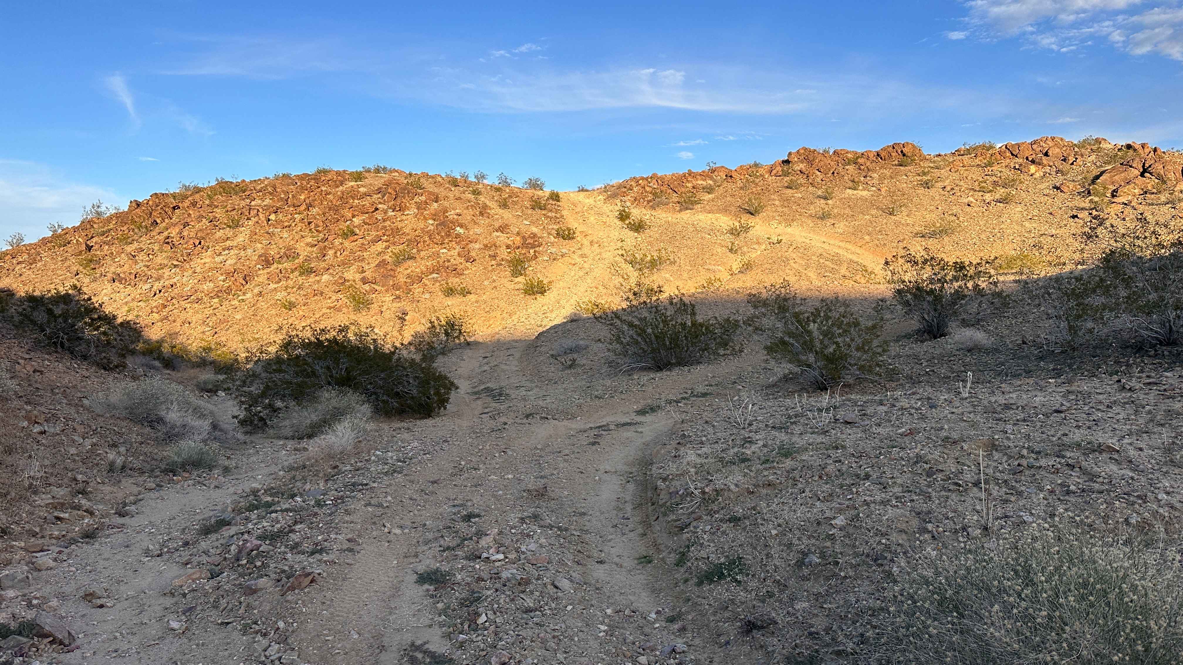
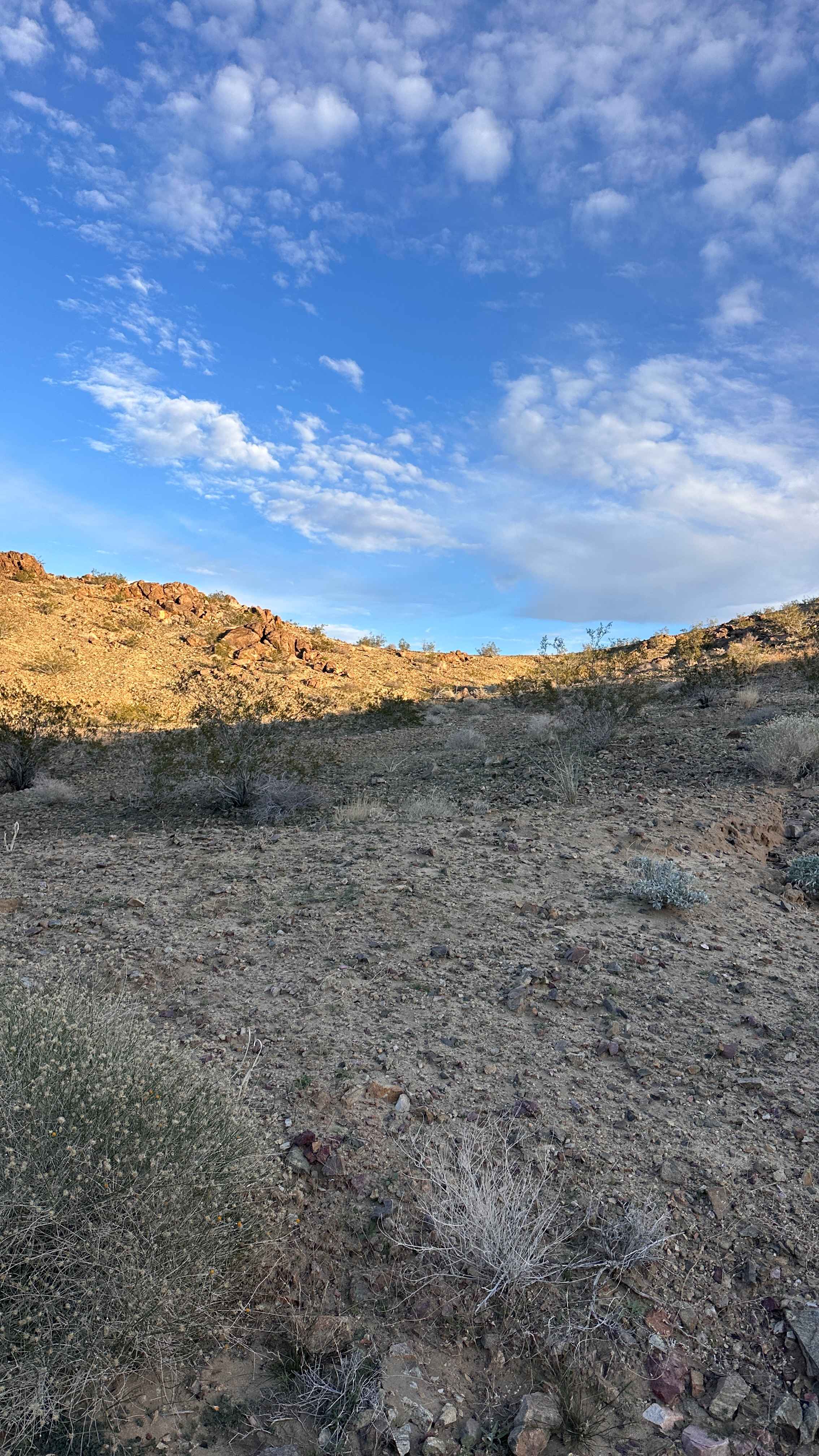
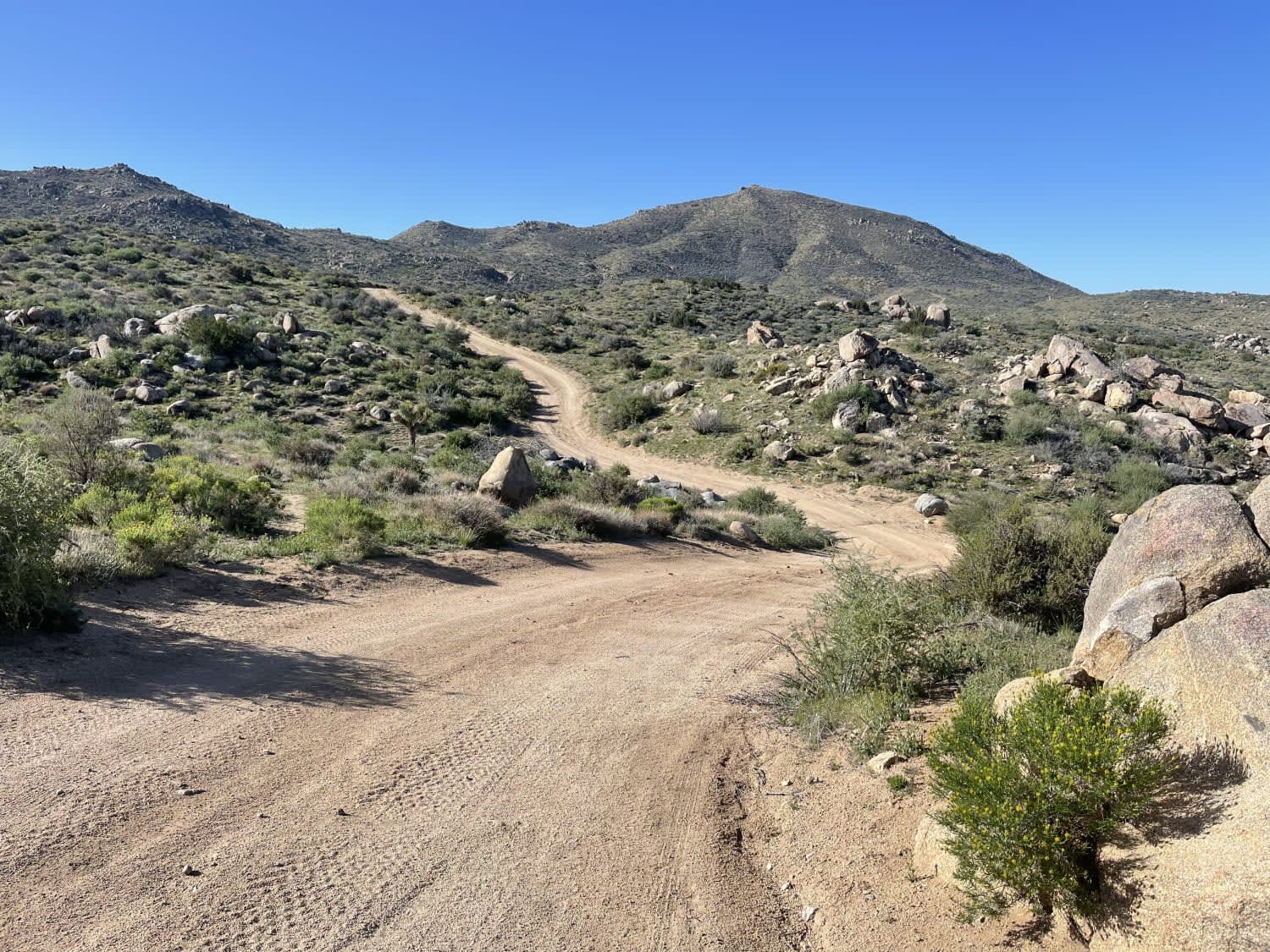
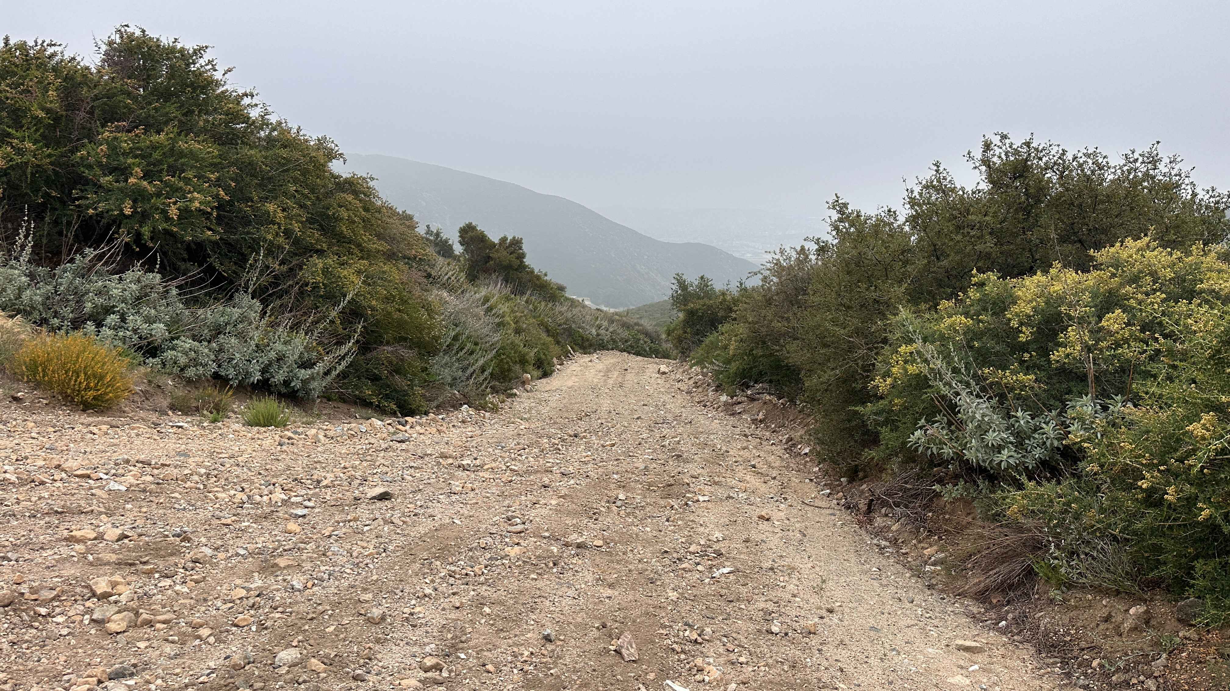
Trail Overview
This trail runs right along the outskirts of the BLM boundaries, so you will want to keep a close eye on the OnX Offroad app to stay within the lines. It offers some great elevation changes with rewarding hill climbs that lead to several impressive lookout points across the valley. You will find a solid mix of sandy stretches and dirt paths that make the climb worthwhile. It is a scenic choice for anyone looking to get some height.
Photos of Copper Canyon
Difficulty
The difficulty is pretty minimal, though some of the climbs out have loose gravel and rocks that can be a bit slippery. As long as you maintain a steady pace on the inclines, you should have no trouble reaching those views.
Status Reports
Copper Canyon can be accessed by the following ride types:
- High-Clearance 4x4
- SUV
- SxS (60")
- ATV (50")
- Dirt Bike
Copper Canyon Map
Popular Trails
Letts Valley - FS 17N02
Midway Ridge
Psycho Ranch Turnout
Wagon Track Trail
The onX Offroad Difference
onX Offroad combines trail photos, descriptions, difficulty ratings, width restrictions, seasonality, and more in a user-friendly interface. Available on all devices, with offline access and full compatibility with CarPlay and Android Auto. Discover what you’re missing today!