Midway Ridge
Total Miles
12.8
Technical Rating
Best Time
Spring, Summer, Fall
Trail Type
Full-Width Road
Accessible By
Trail Overview
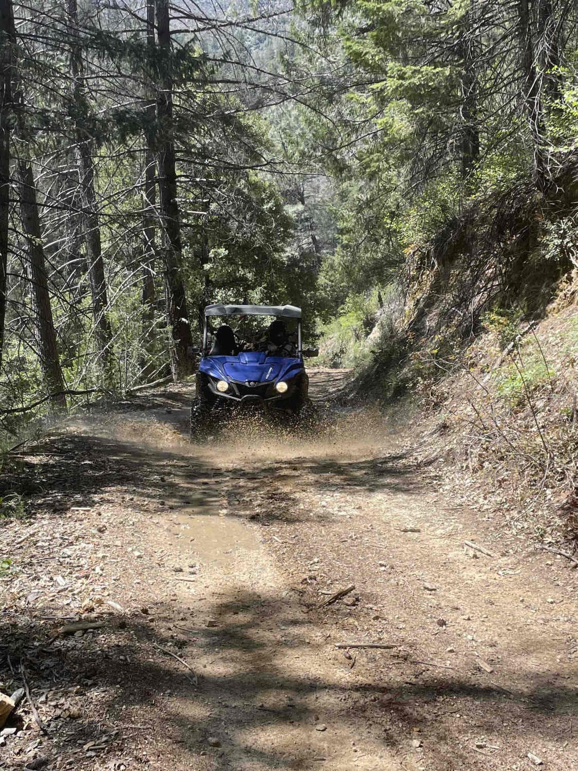
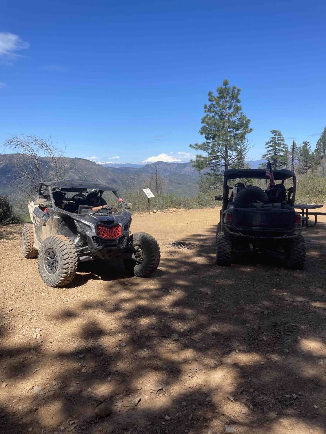
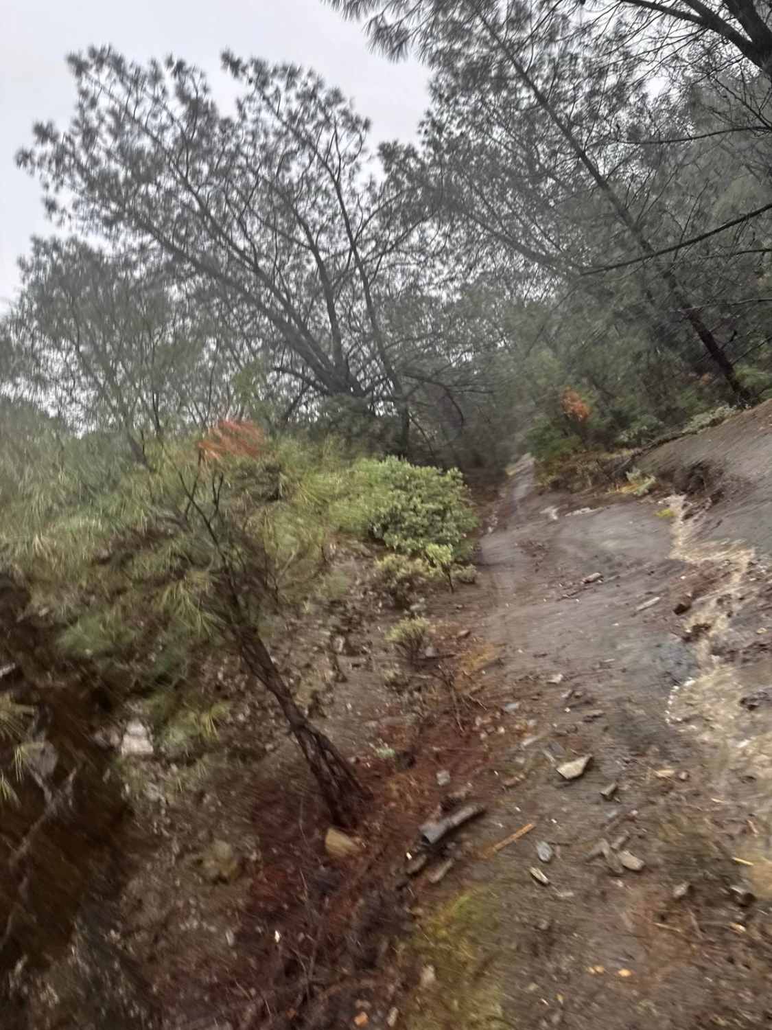
This route takes you to the top of Midway Ridge. The trail starts as a nice wide road. The road is maintained very well and follows a mid-slope road. The trail narrows at the first creek crossing and winds through the forest. At this point, it's still easy for a side-by-side or quad. A dirt bike is more challenging but doable. The first real challenge of this trail is the hill climb up to the top of Midway Ridge. A stock side-by-side can do it. It's only difficult on a dirt bike. Once on the top of the ridge, take some time to look around on a clear day. The rest of the trail takes you along the ridge to another convergence of trails and the picnic bench.
Photos of Midway Ridge
Difficulty
Some sections of this trail are challenging for new riders. Side-by-sides will not have a problem. There is one hill climb to the top of Midway Ridge that is challenging on a dirt bike. This is an excellent ride for those who want to boost their riding skills in various areas.
History
This trail has private mines visible from Trail 2 that are gated off, and other mines directly into the hillside you can take some photos of. During the spring, the watershed creates some awesome waterfalls.
Status Reports
Midway Ridge can be accessed by the following ride types:
- High-Clearance 4x4
- SUV
- SxS (60")
- ATV (50")
- Dirt Bike
Midway Ridge Map
Popular Trails
Briceburg Road - FS 2S05
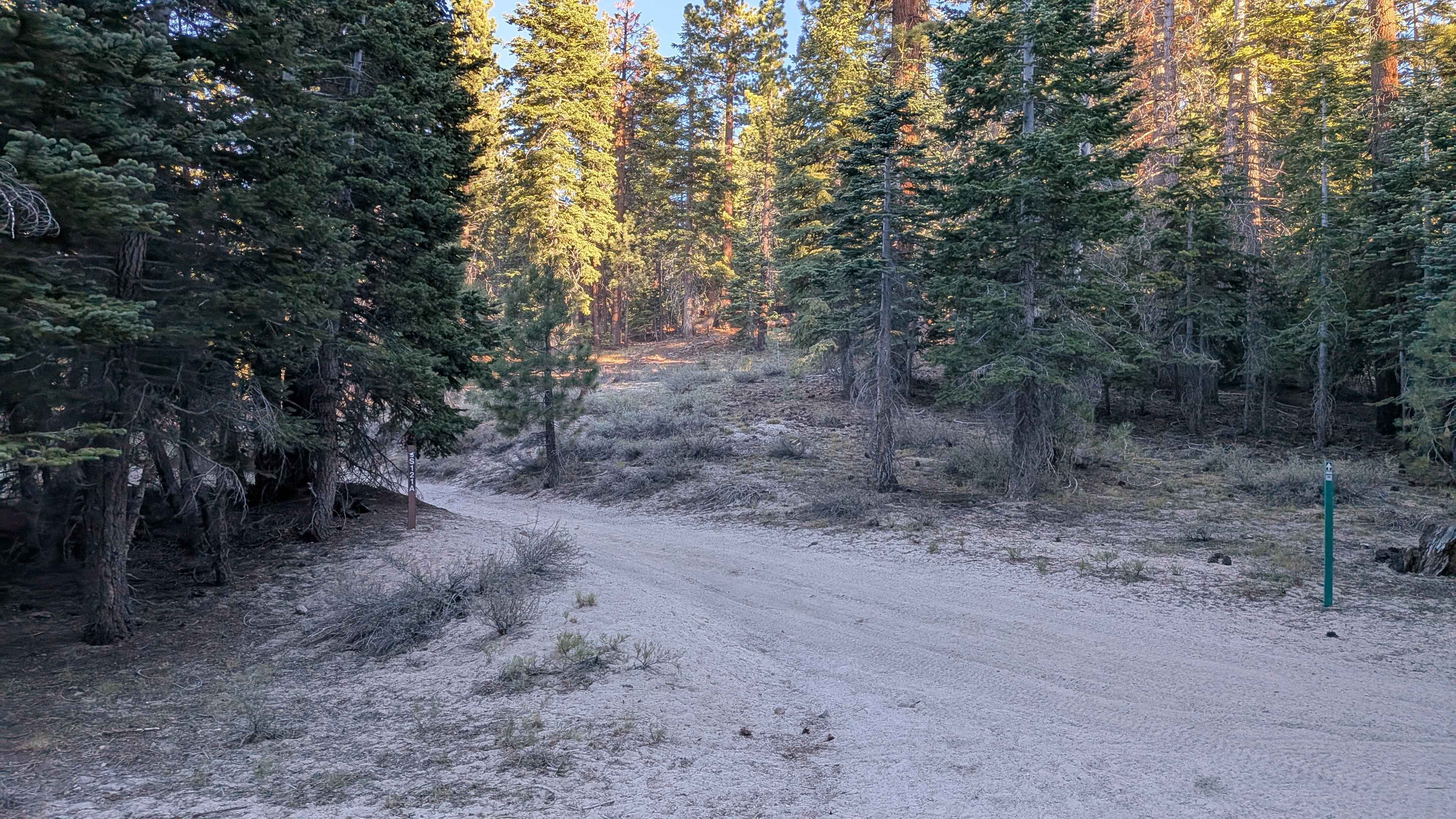
Forest Service Road 3S121A
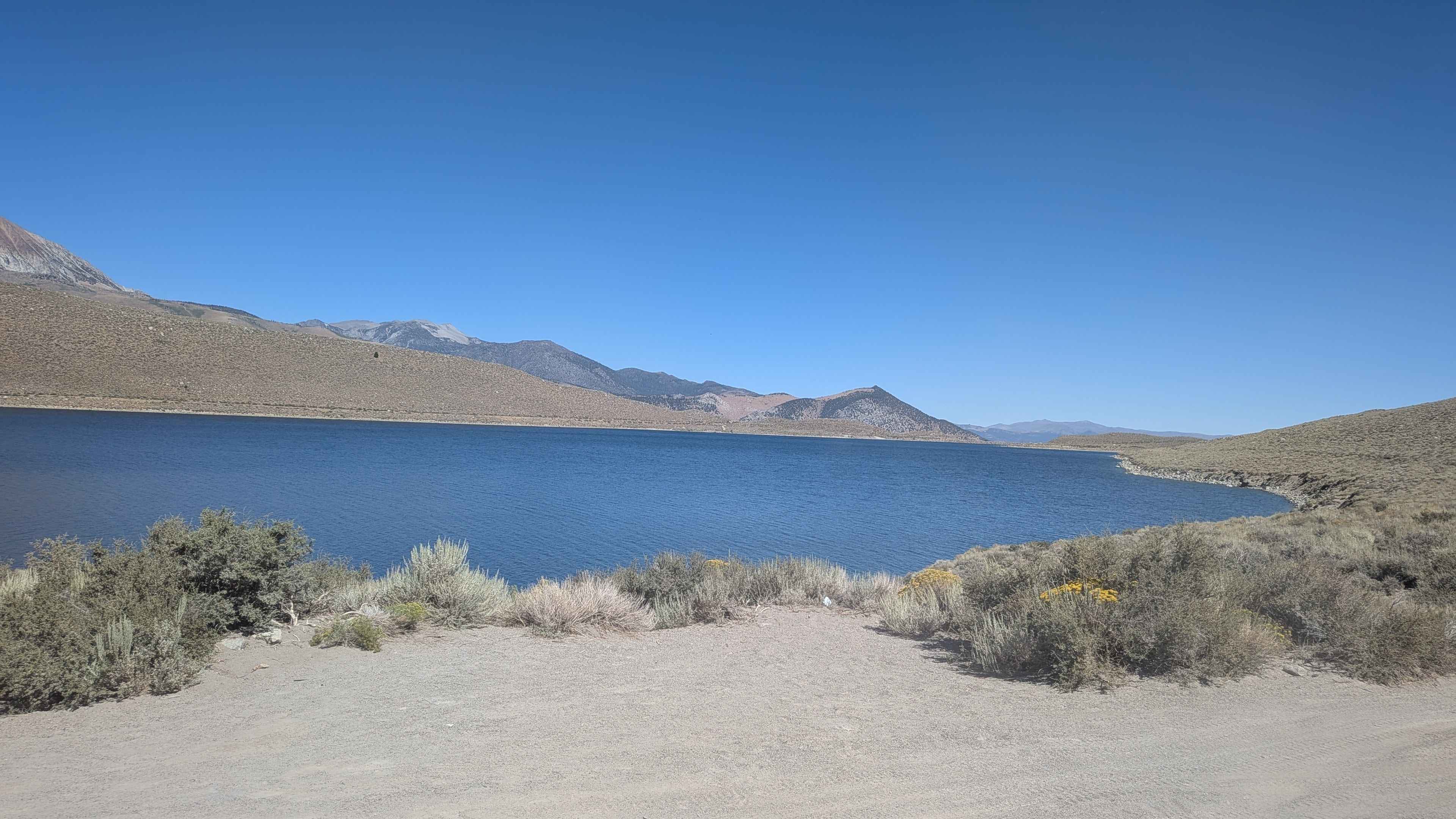
Grant Lake Road - FS 1S30
The onX Offroad Difference
onX Offroad combines trail photos, descriptions, difficulty ratings, width restrictions, seasonality, and more in a user-friendly interface. Available on all devices, with offline access and full compatibility with CarPlay and Android Auto. Discover what you’re missing today!
