Blythe Junction Railroad
Total Miles
12.9
Technical Rating
Best Time
Spring, Fall, Winter
Trail Type
Full-Width Road
Accessible By
Trail Overview
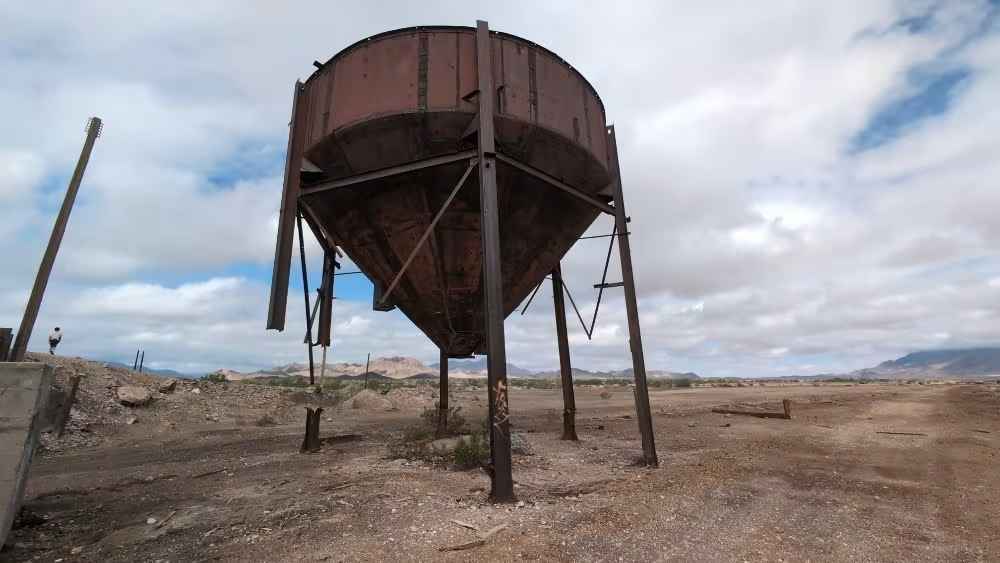
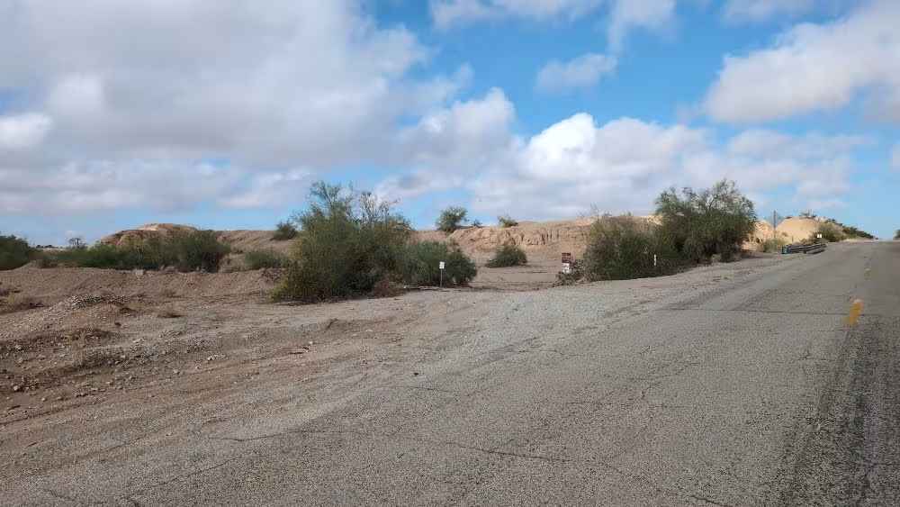
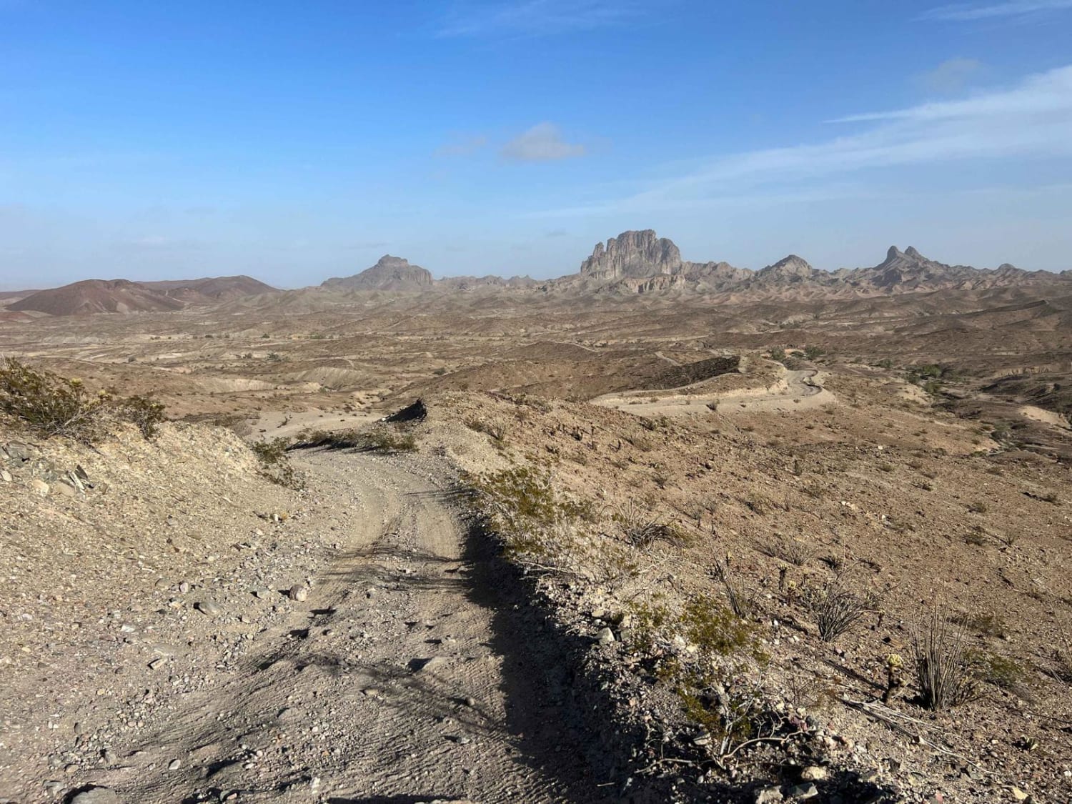
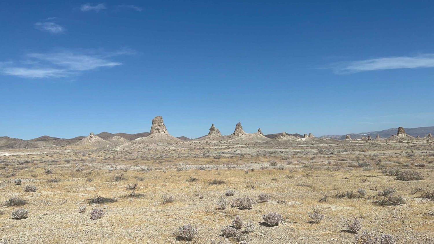
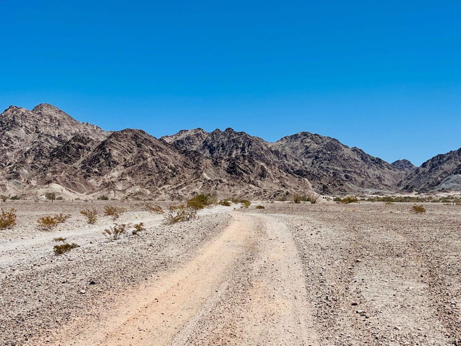
This trail is an old railroad route abandoned in 2011. It follows a smooth sandy path with sections of firm sandstone, making it manageable for most vehicles. Although the route parallels the former railbed, driving directly on the railbed is not recommended due to old railroad spikes that have caused flat tires and several washed-out bridges. The trail ends at a former gypsum loading depot where trucks once delivered material for transfer onto trains.
Photos of Blythe Junction Railroad
Difficulty
This trail is generally easy but can become challenging after recent rain, as wet conditions may create slick or muddy sections that require additional caution.
Status Reports
Blythe Junction Railroad can be accessed by the following ride types:
- High-Clearance 4x4
- SUV
- SxS (60")
- ATV (50")
- Dirt Bike
Blythe Junction Railroad Map
Popular Trails
Teagle Wash Road

Tumco Townsite Loop
The onX Offroad Difference
onX Offroad combines trail photos, descriptions, difficulty ratings, width restrictions, seasonality, and more in a user-friendly interface. Available on all devices, with offline access and full compatibility with CarPlay and Android Auto. Discover what you’re missing today!