Richardson Lake 4WD
Total Miles
3.0
Technical Rating
Best Time
Summer, Fall
Trail Type
Full-Width Road
Accessible By
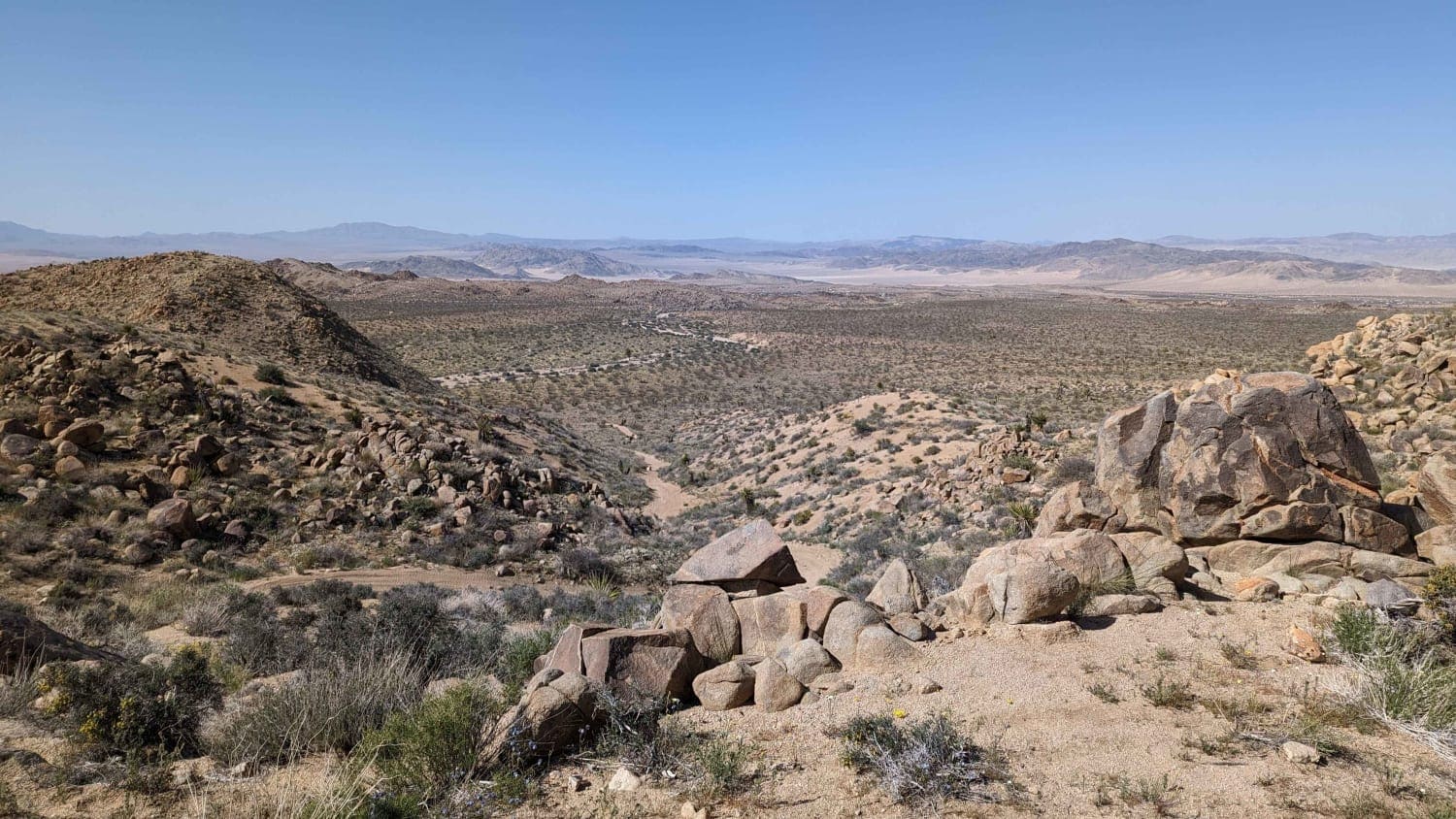
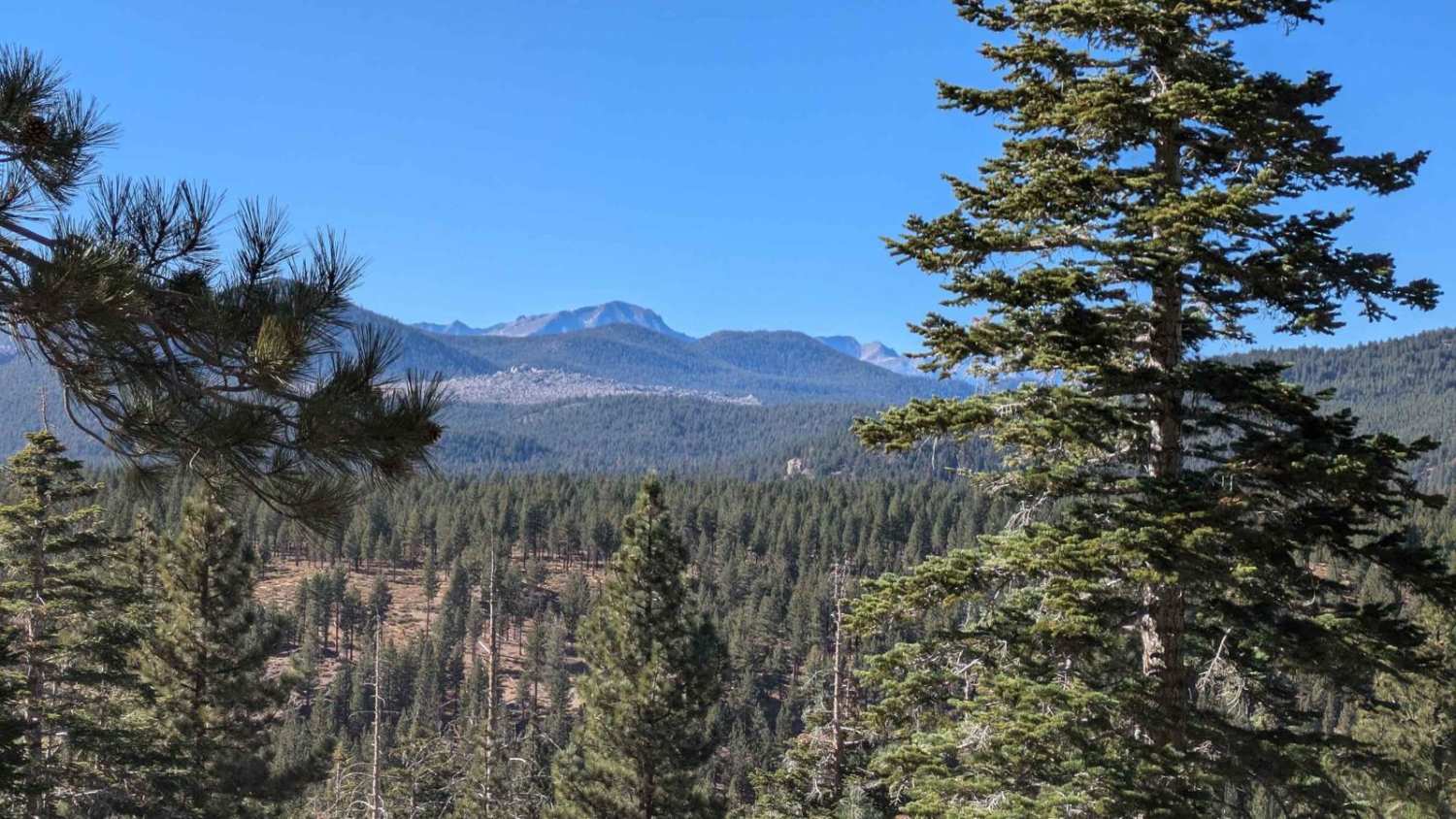
Trail Overview
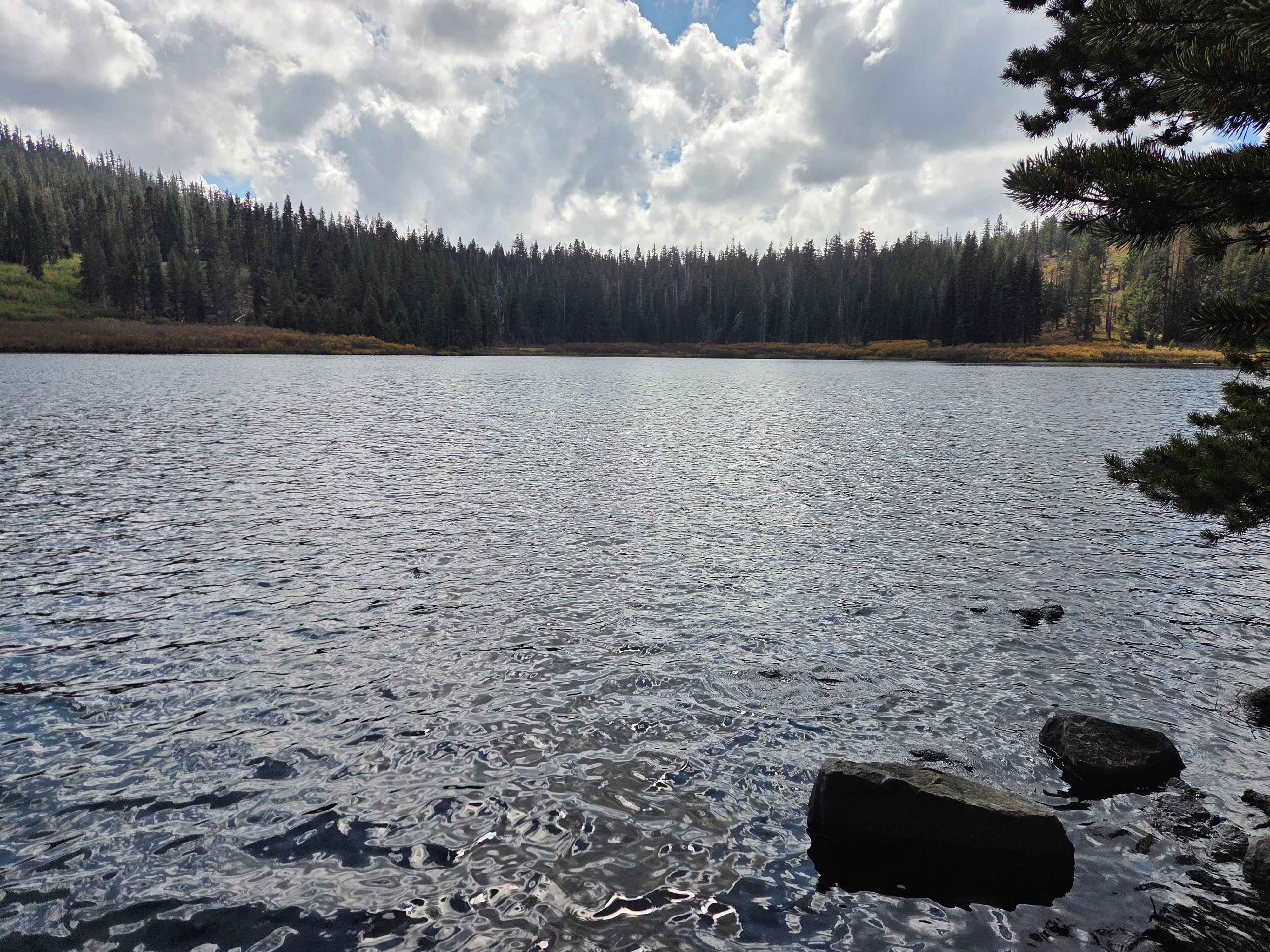
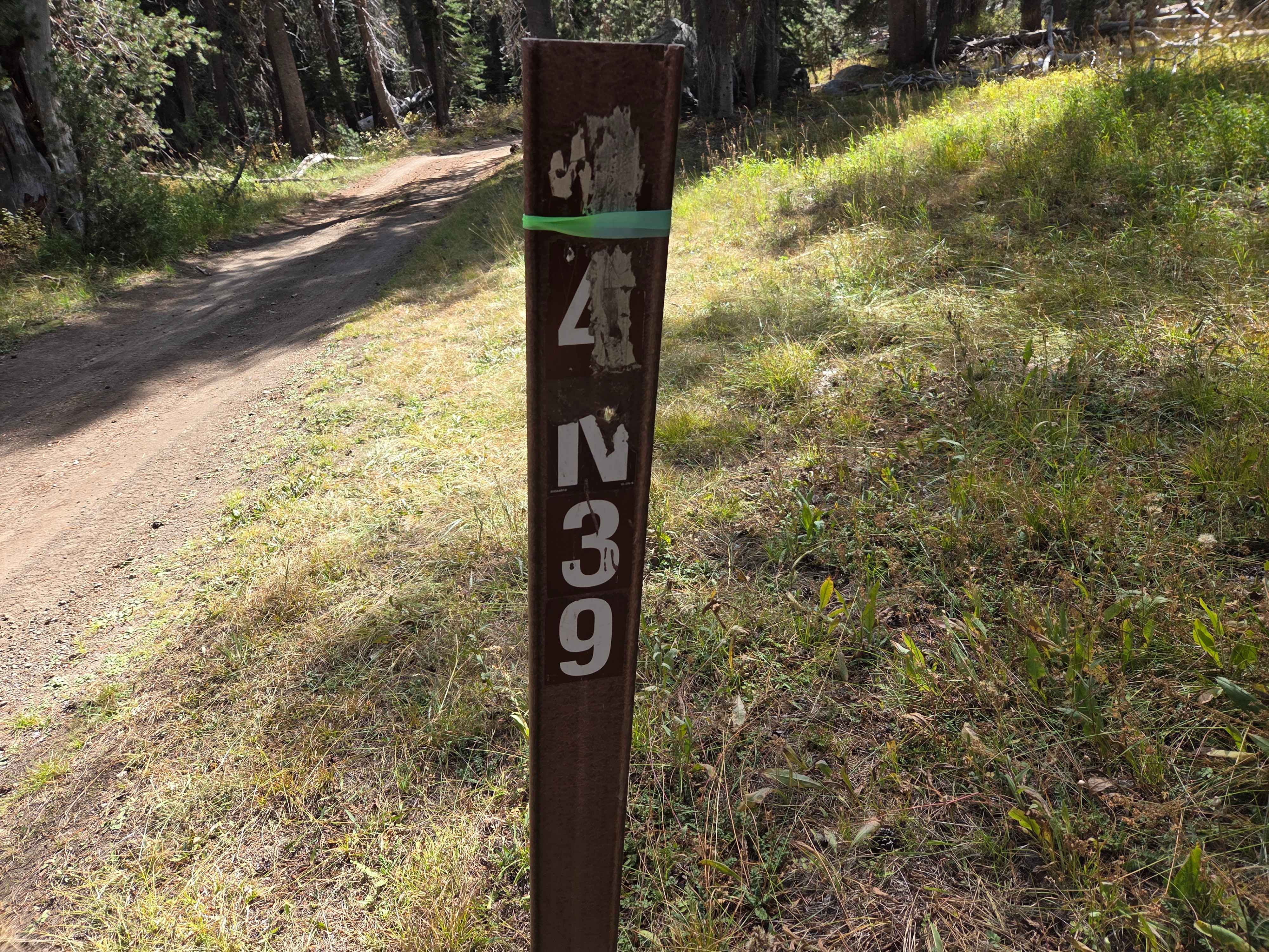
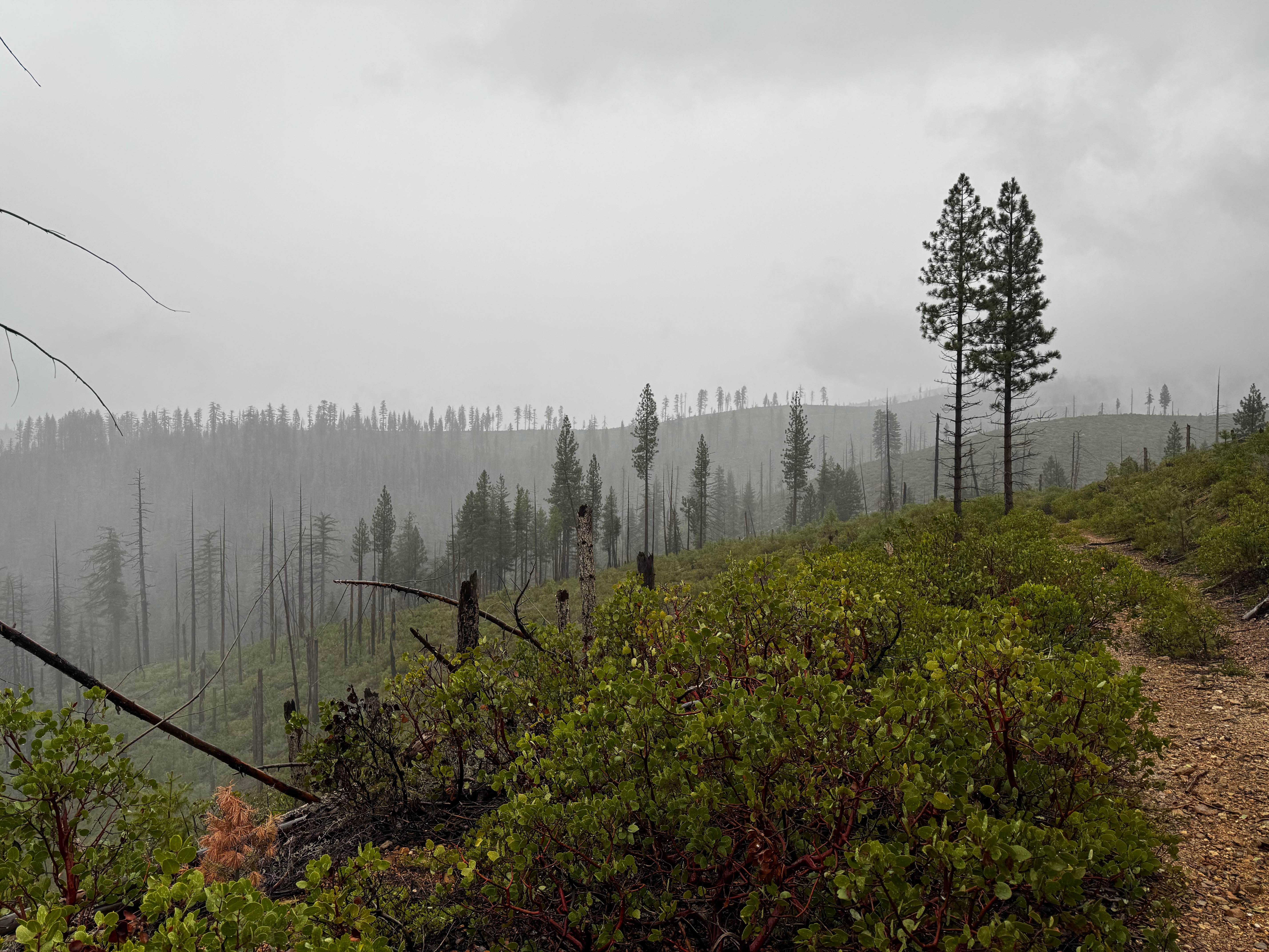
The Richardson Lake 4WD Trail begins just past the west end of Miller Lake, heading south from the parking area. This is a relatively easy trail, especially if you've already reached the trailhead, as you've likely navigated tougher obstacles on the way in. That said, it's absolutely worth the drive for its scenery, history, and rewarding views. As you start out, the trail winds through shaded forest behind Miller Lake before emerging into a series of open meadows. In one of these meadows to your right, you'll spot an old historic cabin that's worth a short hike to explore. Continuing on, the trail delivers you to the shores of beautiful Richardson Lake. There are numerous excellent dispersed campsites near the lake as you arrive. From here, you can skirt around the east side of the lake and continue uphill toward Sourdough Hill. Along the way, keep an eye out for the Sierra Club's Ludlow Hut on your right, a unique backcountry shelter with historical charm. The trail soon crosses the Pacific Crest Trail (PCT), where there's a convenient pullout for parking or turning around if needed. Beyond the PCT crossing, the route climbs steadily to the top of Sourdough Hill, ending at a communications building and radio tower. The payoff is spectacular: panoramic views of multiple lakes along the famous Rubicon Trail route and deep into the Desolation Wilderness. Note: The final short segment that once allowed a small loop descent has been permanently closed due to severe erosion. The entire trail was previously shut down, but thanks to extensive restoration efforts, it's now open all the way to the summit viewpoint.
Photos of Richardson Lake 4WD
Difficulty
In the spring, there can be snow and water crossings. The trail itself is not that hard compared to what you had to do to get to the trailhead. Most of the mudholes had been worked on, so ruts and mud should not be a problem. Look for a bit of the trail to be overgrown and a few taller rocks that you might have to navigate.
History
This route and many like it were closed in 2012 to complete further analysis and make corrections to ensure the hydrologic connectivity of meadows would not be significantly impacted by motorized vehicle use. The trail was reopened to the PCT crossing in 2014 and then opened to the top in 2015.
Status Reports
Richardson Lake 4WD can be accessed by the following ride types:
- High-Clearance 4x4
- SUV
- SxS (60")
- ATV (50")
- Dirt Bike
Richardson Lake 4WD Map
Popular Trails
American Hill Trail Spur
Bighorn Connector
Lookout Mountain Bypass - FS2S88
The onX Offroad Difference
onX Offroad combines trail photos, descriptions, difficulty ratings, width restrictions, seasonality, and more in a user-friendly interface. Available on all devices, with offline access and full compatibility with CarPlay and Android Auto. Discover what you’re missing today!