2 trails found in California
Which "cow trail" are you looking for?
We found 2 off-road trails in California matching your search. Pick the one you're looking for below.
Holy Cow Trail
The Holy Cow Trail is in the Hungry Valley SVRA and is a short .08 of a mile loop located at the Southeastern end of the Power Line Road at GPS coordinates N34.75973° W118.80220°. While the main trail will accommodate full-size vehicles, it has a narrow spur for dirt bikes and ATVs that crosses the...
Learn more about Holy Cow Trail
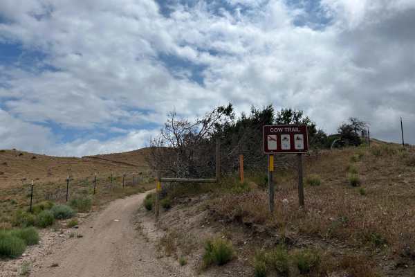
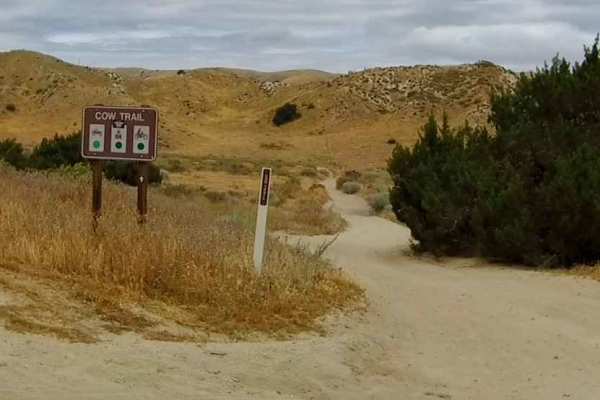
Cow Trail
A very fun and flowing trail in the east/north east area of the Hungry Valley SVRA. Accessed off Powerline road, this is a great option for dirt bikes and ATVs to avoid SXS and 4x4 traffic. Watch out for oncoming traffic as this is a two way trail. There are several blind corners, proof in the pictu...
Learn more about Cow Trail