Off-Road Trails in California
Discover off-road trails in California
Learn more about Cherry Hill - FS 22S12B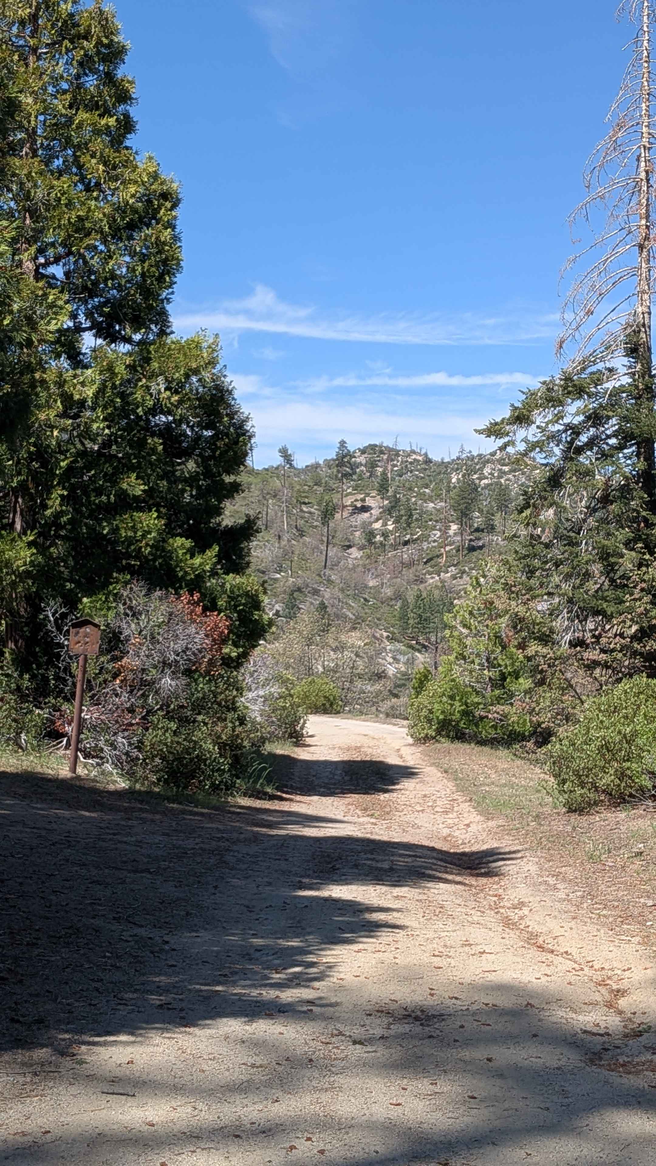
Cherry Hill - FS 22S12B
Total Miles
0.9
Tech Rating
Easy
Best Time
Fall, Summer, Spring
Learn more about Cherry Hill Road North - FS 22S12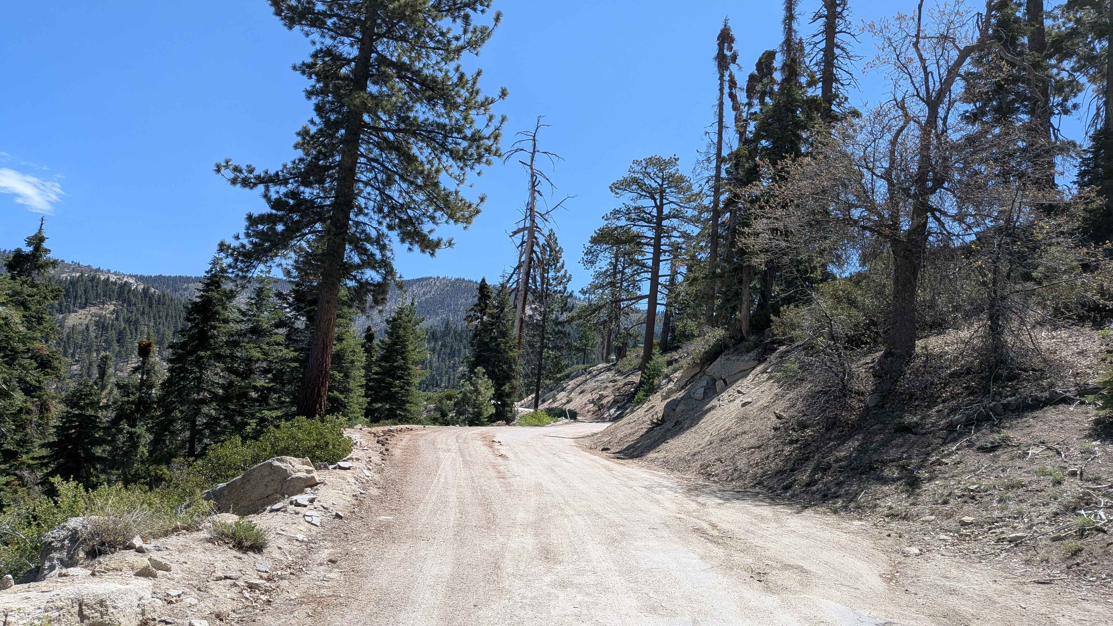
Cherry Hill Road North - FS 22S12
Total Miles
13.1
Tech Rating
Easy
Best Time
Spring, Summer, Fall
Learn more about Cherry Hill Road South - FS 22S12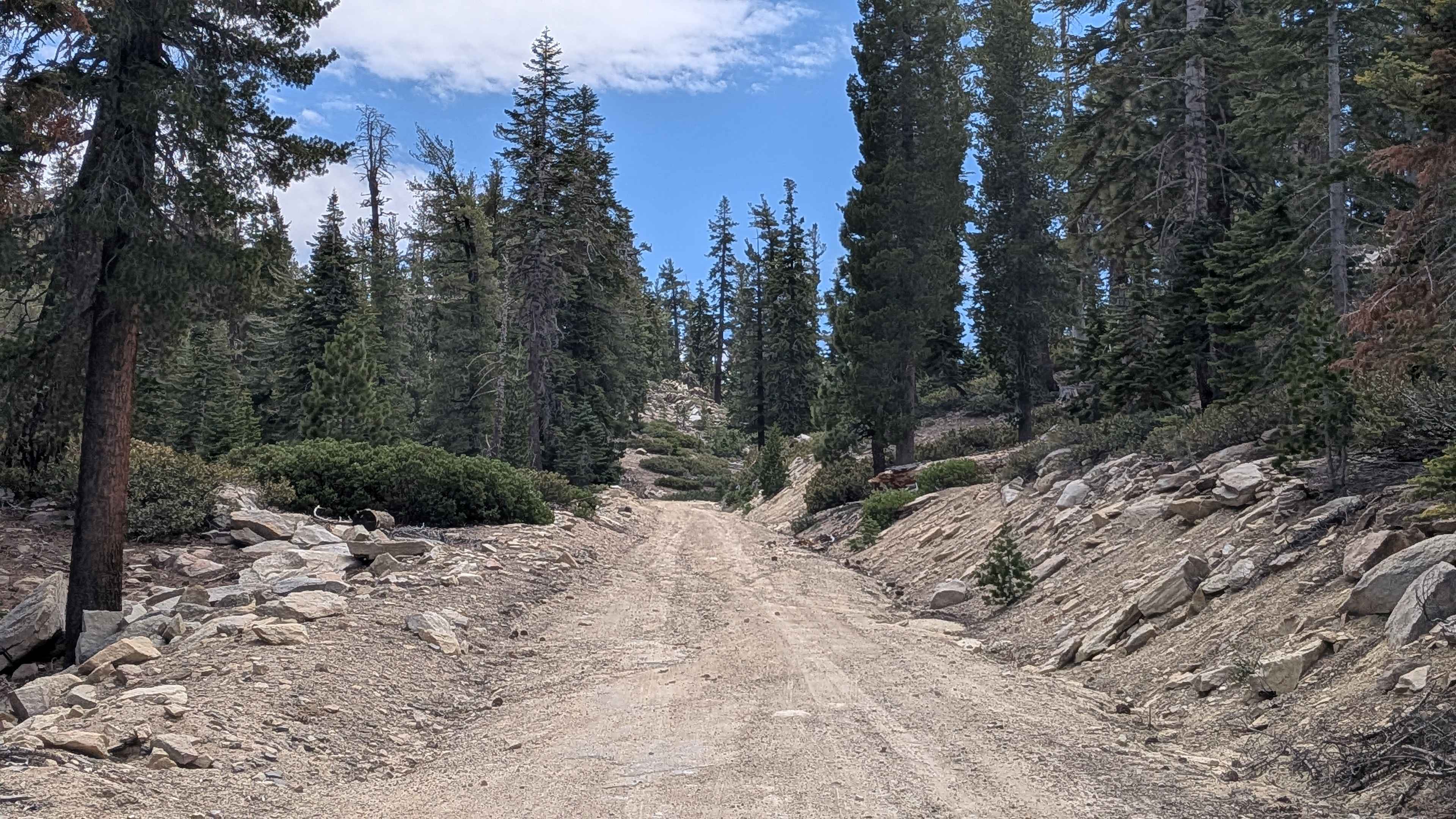
Cherry Hill Road South - FS 22S12
Total Miles
7.6
Tech Rating
Easy
Best Time
Fall, Summer, Spring
Learn more about Chickens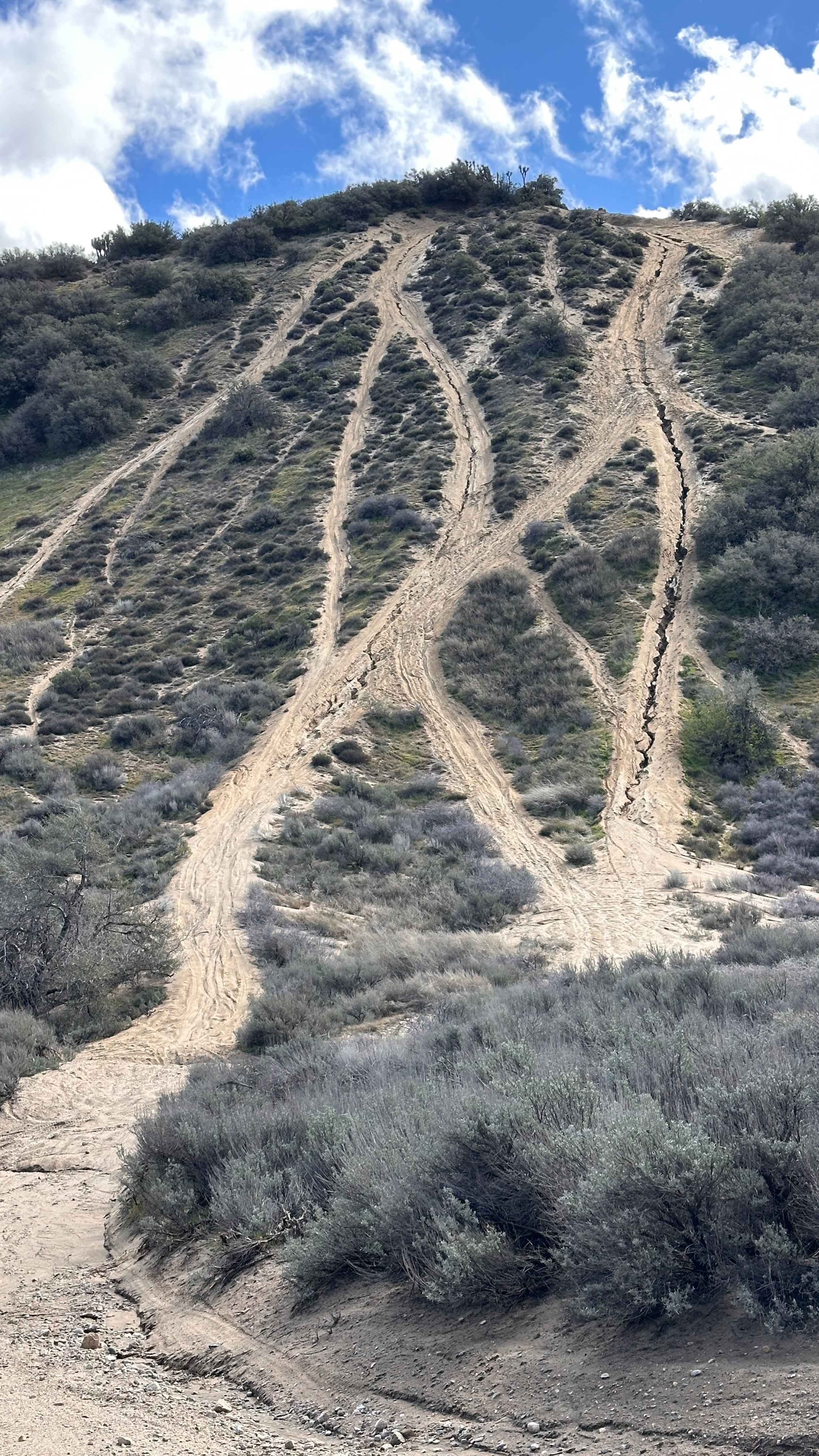
Chickens
Total Miles
0.2
Tech Rating
Difficult
Best Time
Spring, Summer, Fall, Winter
Learn more about Chidago Loop Road
Chidago Loop Road
Total Miles
5.6
Tech Rating
Easy
Best Time
Spring, Fall, Summer, Winter
Learn more about Childago Canyon Road
Childago Canyon Road
Total Miles
10.9
Tech Rating
Easy
Best Time
Spring, Fall
Learn more about China Lake Border Run
China Lake Border Run
Total Miles
5.1
Tech Rating
Moderate
Best Time
Winter, Fall, Spring
Learn more about China Wells - FS 6S015
China Wells - FS 6S015
Total Miles
4.6
Tech Rating
Easy
Best Time
Summer, Spring, Fall
Learn more about Chipmunk - FS 6S018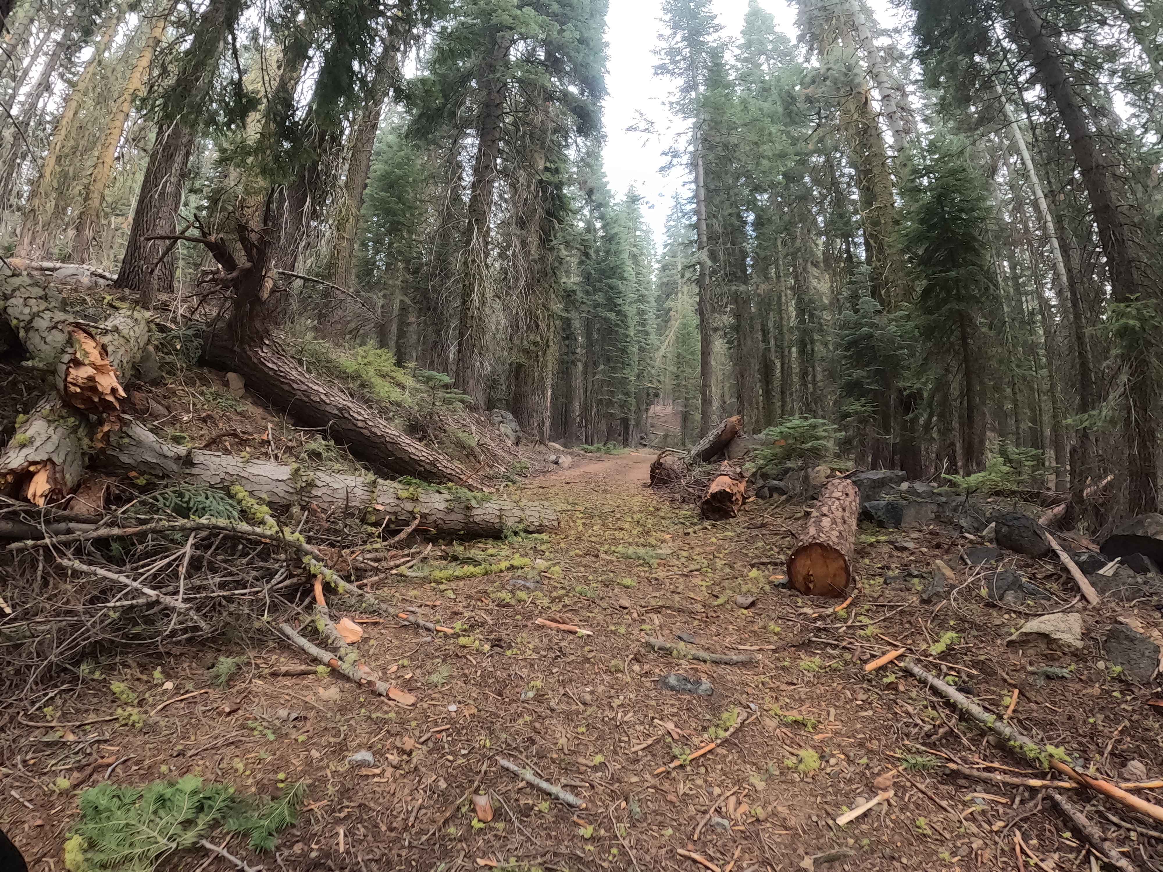
Chipmunk - FS 6S018
Total Miles
1.3
Tech Rating
Easy
Best Time
Summer, Fall
Learn more about Chloride Cliffs Road
Chloride Cliffs Road
Total Miles
9.2
Tech Rating
Moderate
Best Time
Spring, Fall
Learn more about Chocolate Thunder
Chocolate Thunder
Total Miles
0.1
Tech Rating
Extreme
Best Time
Spring, Summer, Fall, Winter
Learn more about Cholla Chaos
Cholla Chaos
Total Miles
1.7
Tech Rating
Moderate
Best Time
Winter, Fall, Spring
Learn more about Choose Your Own Adventure Whoops
Choose Your Own Adventure Whoops
Total Miles
1.6
Tech Rating
Moderate
Best Time
Winter, Fall, Spring
Learn more about Chowchilla Mountain Road - FS 5S090
Chowchilla Mountain Road - FS 5S090
Total Miles
11.8
Tech Rating
Easy
Best Time
Spring, Summer, Fall
Learn more about Chuckwalla Peak Road
Chuckwalla Peak Road
Total Miles
7.6
Tech Rating
Moderate
Best Time
Spring, Summer, Fall
Learn more about Church - FS 24S32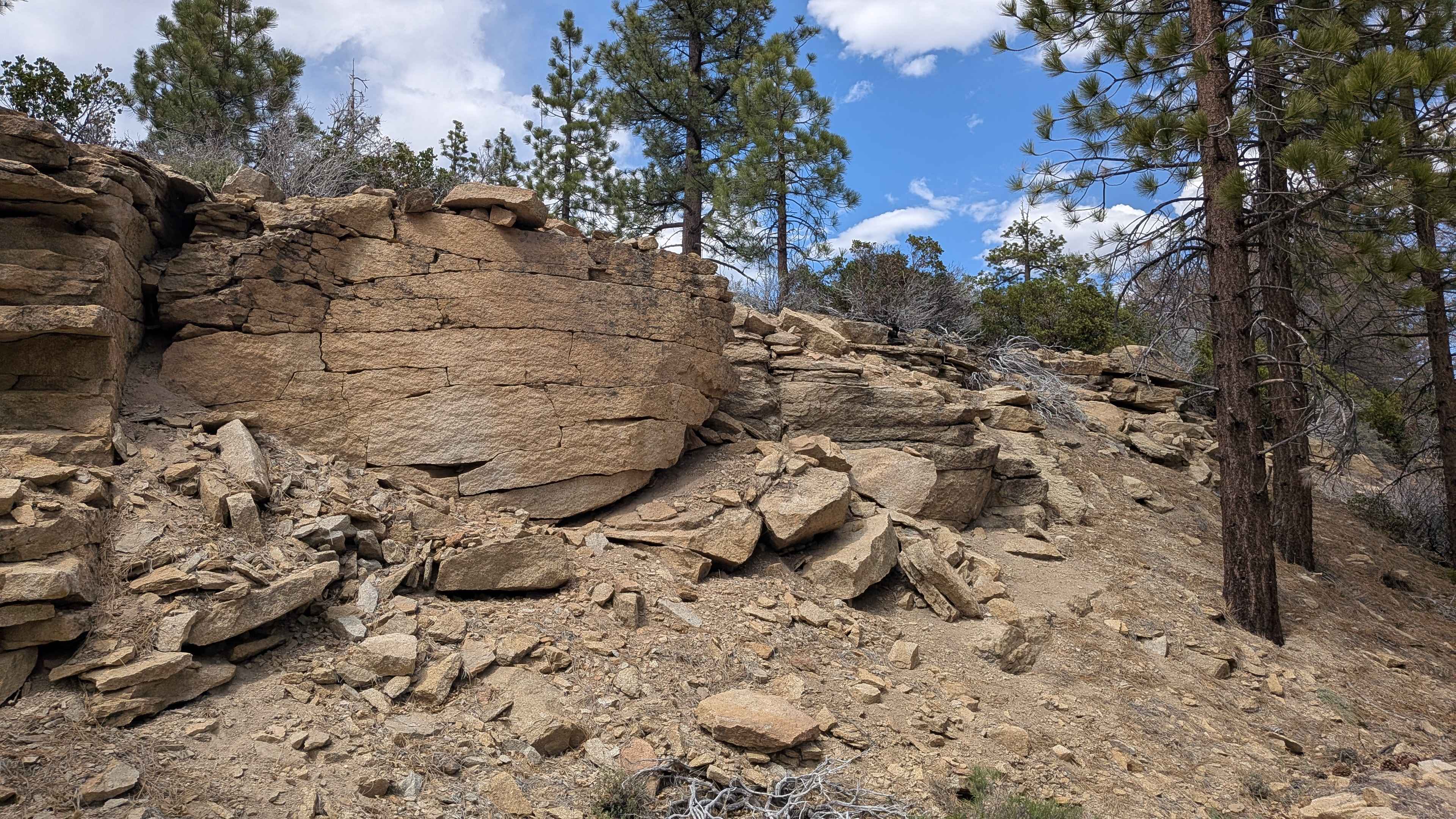
Church - FS 24S32
Total Miles
4.1
Tech Rating
Easy
Best Time
Fall, Summer, Spring
Learn more about Chute Springs - FS 23S68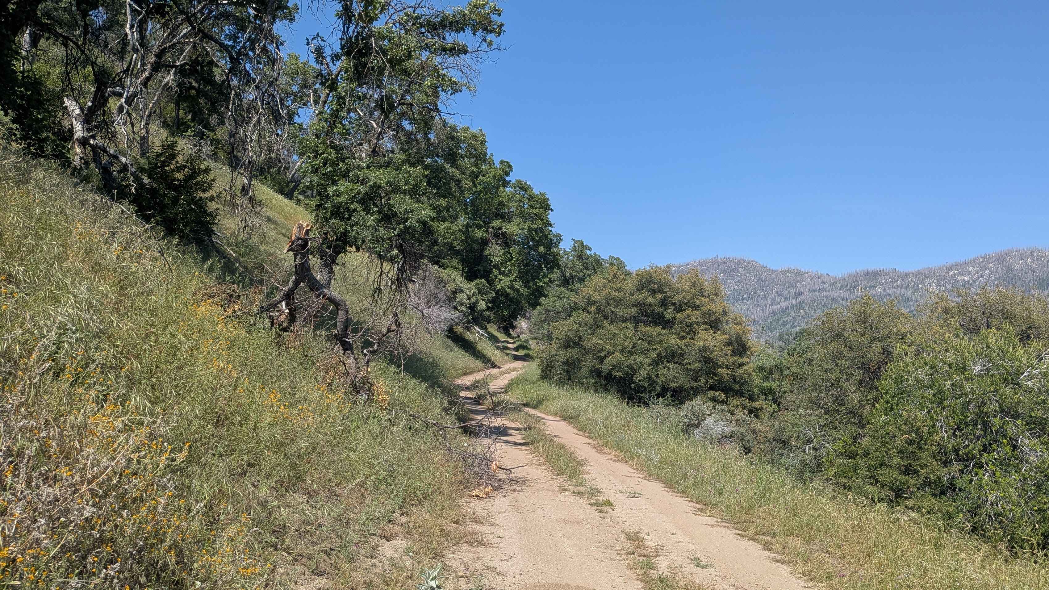
Chute Springs - FS 23S68
Total Miles
1.7
Tech Rating
Easy
Best Time
Fall, Summer, Spring
Learn more about City Highline Road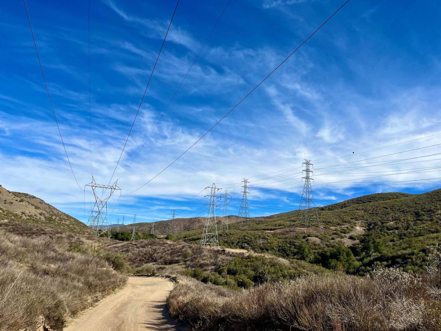
City Highline Road
Total Miles
9.7
Tech Rating
Easy
Best Time
Spring, Summer, Fall, Winter
Learn more about Clark Dry Lake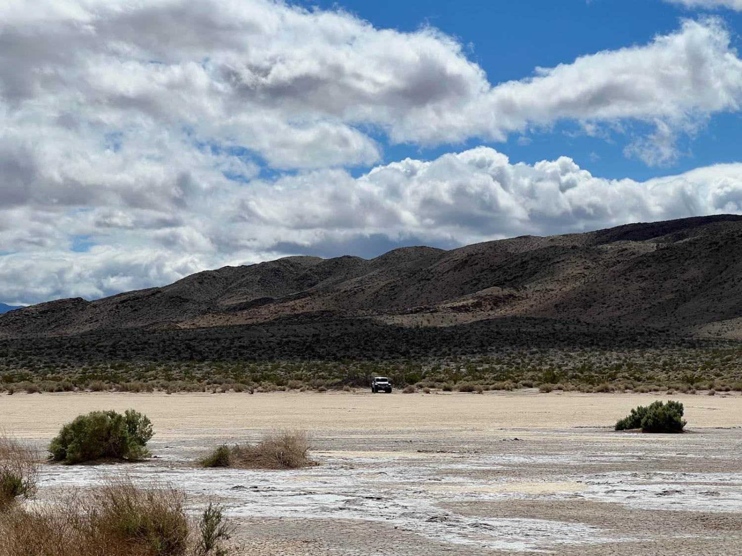
Clark Dry Lake
Total Miles
2.3
Tech Rating
Easy
Best Time
Fall, Winter, Summer, Spring
ATV trails in California


UTV/side-by-side trails in California


Learn more about 3N267 Fenner Saddle (4N12)
3N267 Fenner Saddle (4N12)
Total Miles
3.8
Tech Rating
Difficult
Best Time
Spring, Summer, Fall, Winter

The onX Offroad Difference
onX Offroad combines trail photos, descriptions, difficulty ratings, width restrictions, seasonality, and more in a user-friendly interface. Available on all devices, with offline access and full compatibility with CarPlay and Android Auto. Discover what you’re missing today!