Off-Road Trails in California
Discover off-road trails in California
Learn more about Buffalo Gulch - FS 4S11
Buffalo Gulch - FS 4S11
Total Miles
1.9
Tech Rating
Easy
Best Time
Fall, Summer, Spring
Learn more about Buffalo Gulch Road
Buffalo Gulch Road
Total Miles
3.8
Tech Rating
Easy
Best Time
Fall, Summer, Spring
Learn more about Buffer OHV Trail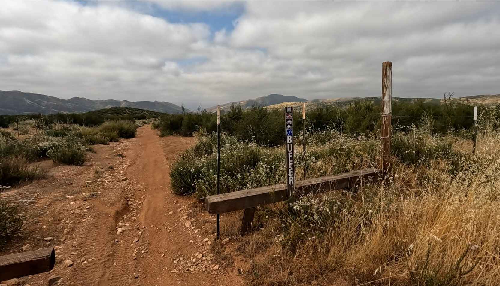
Buffer OHV Trail
Total Miles
2.4
Tech Rating
Easy
Best Time
Spring, Fall, Winter
Learn more about Buffin Meadow Road - FS 5S043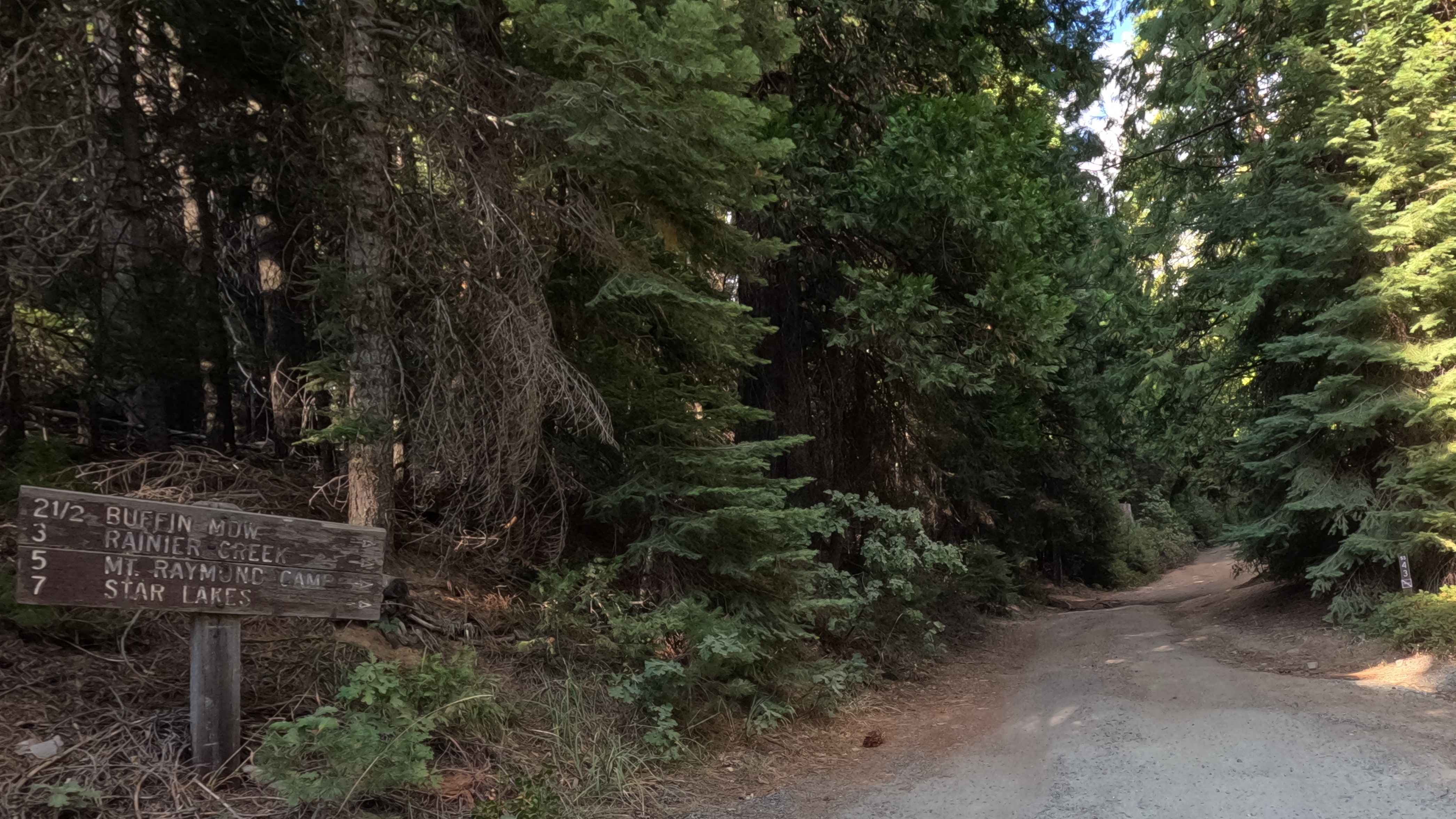
Buffin Meadow Road - FS 5S043
Total Miles
2.0
Tech Rating
Easy
Best Time
Spring, Summer, Fall
Learn more about Bull Creek Road North
Bull Creek Road North
Total Miles
5.2
Tech Rating
Easy
Best Time
Fall, Summer, Spring
Learn more about Bull Creek Road South
Bull Creek Road South
Total Miles
4.4
Tech Rating
Easy
Best Time
Fall, Summer, Spring
Learn more about Bump & Run
Bump & Run
Total Miles
0.1
Tech Rating
Difficult
Best Time
Summer, Fall, Winter, Spring
Learn more about Burcham Flat Road North
Burcham Flat Road North
Total Miles
10.2
Tech Rating
Easy
Best Time
Fall, Summer
Learn more about Burcham Flat Road South
Burcham Flat Road South
Total Miles
4.4
Tech Rating
Easy
Best Time
Fall, Summer
Learn more about Burma Grade Road
Burma Grade Road
Total Miles
3.0
Tech Rating
Easy
Best Time
Summer, Fall, Spring
Learn more about Burned Out Cars Loop
Burned Out Cars Loop
Total Miles
2.3
Tech Rating
Moderate
Best Time
Winter, Fall, Spring
Learn more about Burns Canyon Road - NF 2N02
Burns Canyon Road - NF 2N02
Total Miles
19.6
Tech Rating
Moderate
Best Time
Summer, Fall
Learn more about Burnside Lake Road - 31019
Burnside Lake Road - 31019
Total Miles
5.5
Tech Rating
Easy
Best Time
Spring, Summer, Fall
Learn more about Burnt Mill
Burnt Mill
Total Miles
0.5
Tech Rating
Easy
Best Time
Spring, Summer, Fall, Winter
Learn more about Burro Schmidt Tunnel - BLM EP103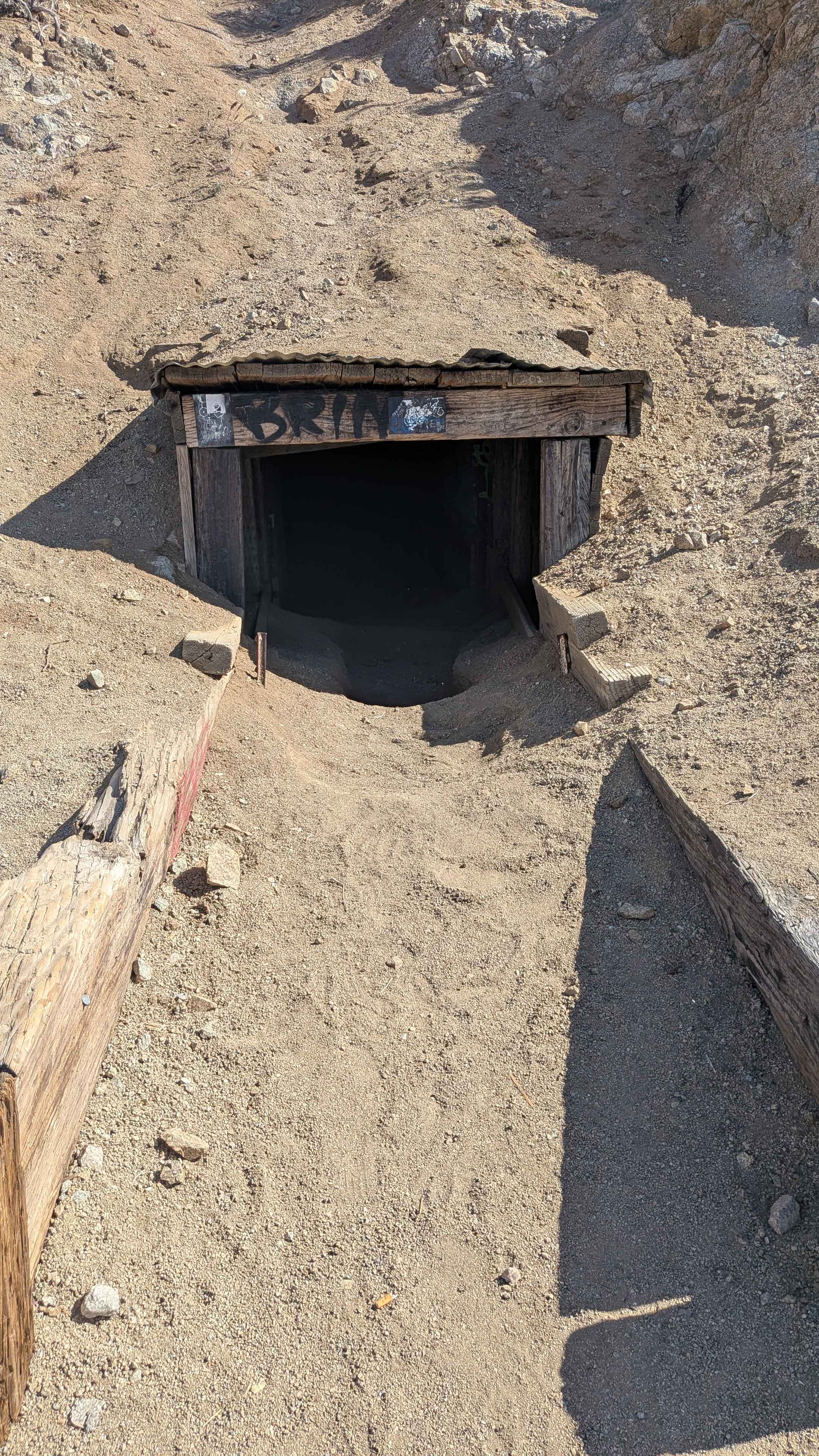
Burro Schmidt Tunnel - BLM EP103
Total Miles
0.9
Tech Rating
Easy
Best Time
Fall, Summer, Spring
Learn more about Burro Schmidt Tunnel Alternative - BLM EP103
Burro Schmidt Tunnel Alternative - BLM EP103
Total Miles
2.5
Tech Rating
Moderate
Best Time
Summer, Fall, Spring
Learn more about Burt Canyon Ridge Overlook 
Burt Canyon Ridge Overlook
Total Miles
0.7
Tech Rating
Moderate
Best Time
Summer, Spring, Fall
Learn more about Butcher Ranch
Butcher Ranch
Total Miles
6.5
Tech Rating
Moderate
Best Time
Spring, Fall, Summer
ATV trails in California


UTV/side-by-side trails in California


Learn more about 3N267 Fenner Saddle (4N12)
3N267 Fenner Saddle (4N12)
Total Miles
3.8
Tech Rating
Difficult
Best Time
Spring, Summer, Fall, Winter

The onX Offroad Difference
onX Offroad combines trail photos, descriptions, difficulty ratings, width restrictions, seasonality, and more in a user-friendly interface. Available on all devices, with offline access and full compatibility with CarPlay and Android Auto. Discover what you’re missing today!