Fraser Flat Road - FS 4N13
Total Miles
3.7
Technical Rating
Best Time
Summer, Fall
Trail Type
Full-Width Road
Accessible By
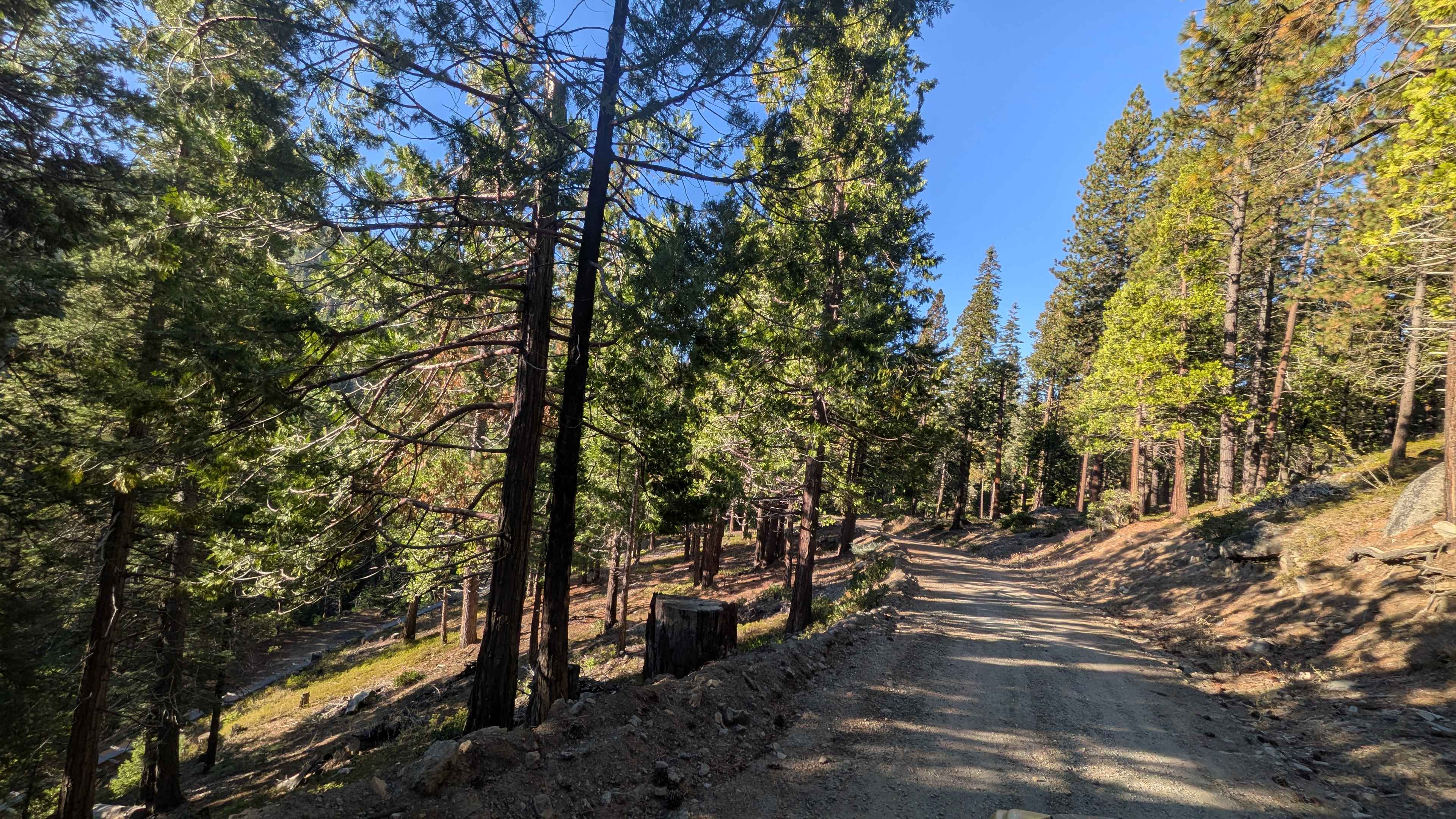
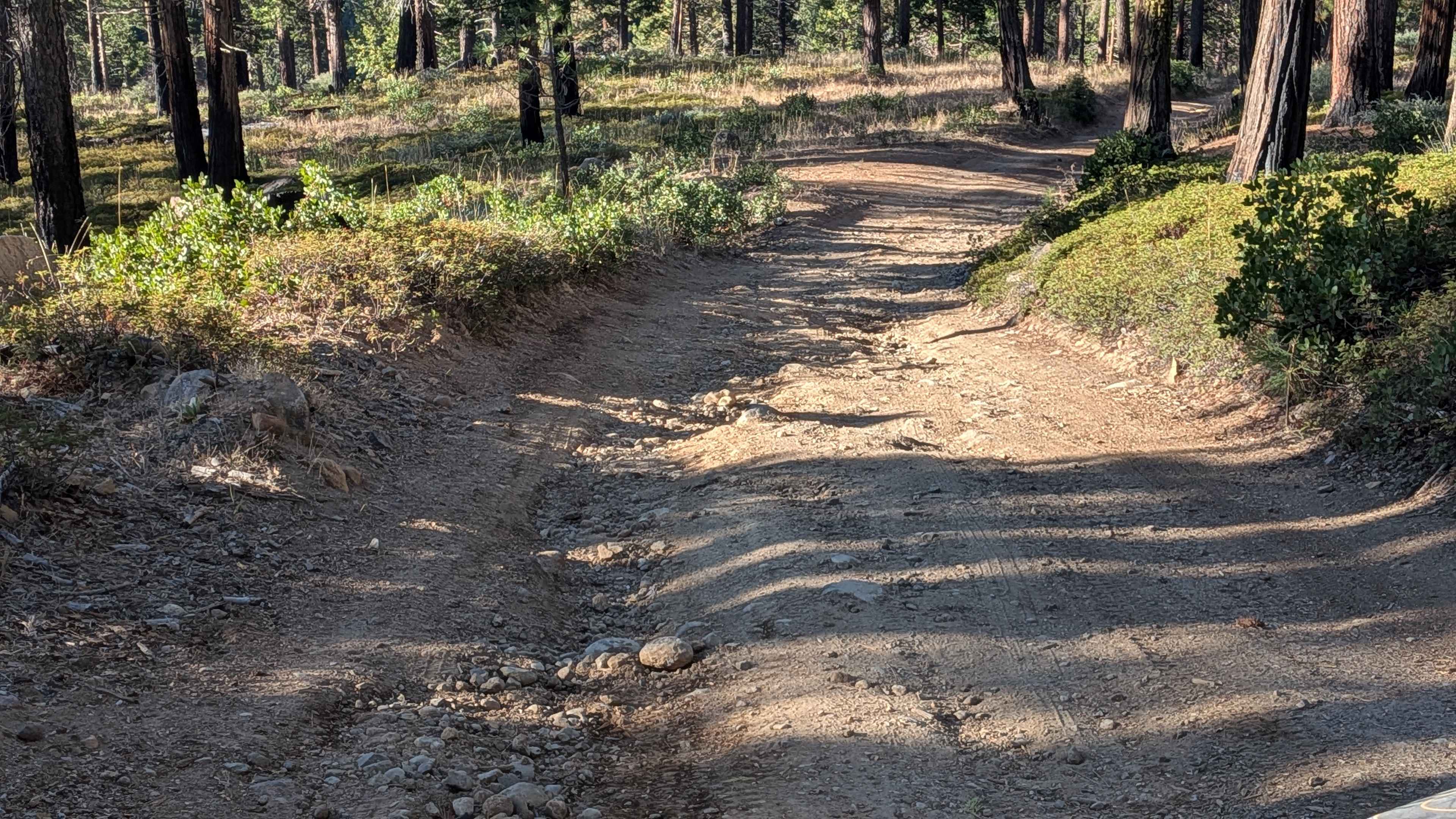
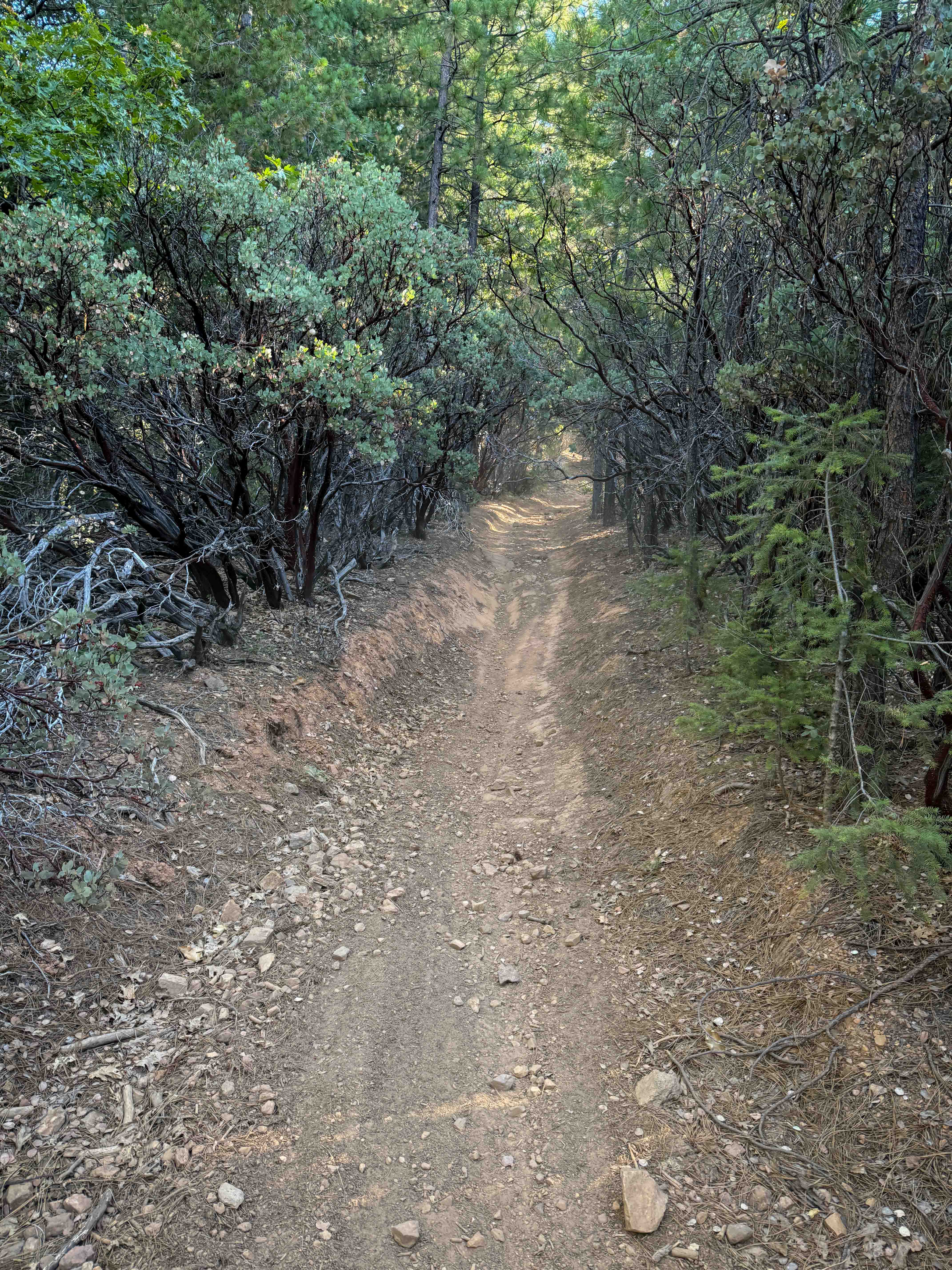
Trail Overview
This just under 4-mile point-to-point trail climbs over 700 feet and drops just over 200 feet. The trail starts on a short paved section in a residential area, then transitions to hard-packed dirt and gravel about 1.5 vehicles wide. It winds through a lush pine forest while running parallel to Highway 108. Most of the trail follows a shelf road with occasional open views of the South Fork of the Stanislaus River. Around mile 3, the trail follows the Philadelphia Ditch aqueduct, offering a unique historical feature along the route.
Photos of Fraser Flat Road - FS 4N13
Difficulty
The trail is mostly easy, though some uphills and downhills have shallow ruts, usually less than 18 inches. Ruts can be avoided with care. The majority of the trail runs along a shelf road, so basic attention to edges is recommended.
Status Reports
Fraser Flat Road - FS 4N13 can be accessed by the following ride types:
- High-Clearance 4x4
- SUV
- SxS (60")
- ATV (50")
- Dirt Bike
Fraser Flat Road - FS 4N13 Map
Popular Trails
Grass Mountain Summit
Trail 4-1 (11E35)
Big Pine to Silver Canyon
The onX Offroad Difference
onX Offroad combines trail photos, descriptions, difficulty ratings, width restrictions, seasonality, and more in a user-friendly interface. Available on all devices, with offline access and full compatibility with CarPlay and Android Auto. Discover what you’re missing today!