Big Pine to Silver Canyon
Total Miles
20.6
Technical Rating
Best Time
Spring, Summer, Fall
Trail Type
Full-Width Road
Accessible By
Trail Overview
Hard Pack dirt with small water crossings and mud holes the trail runs close to the Owens River so there is plenty of fishing, a small freshwater pond for summer swimming, plenty of off-grid camping spots, and a lot of side spurs. A lifted stock 2-wheel drive should have no problem crossing this trail.
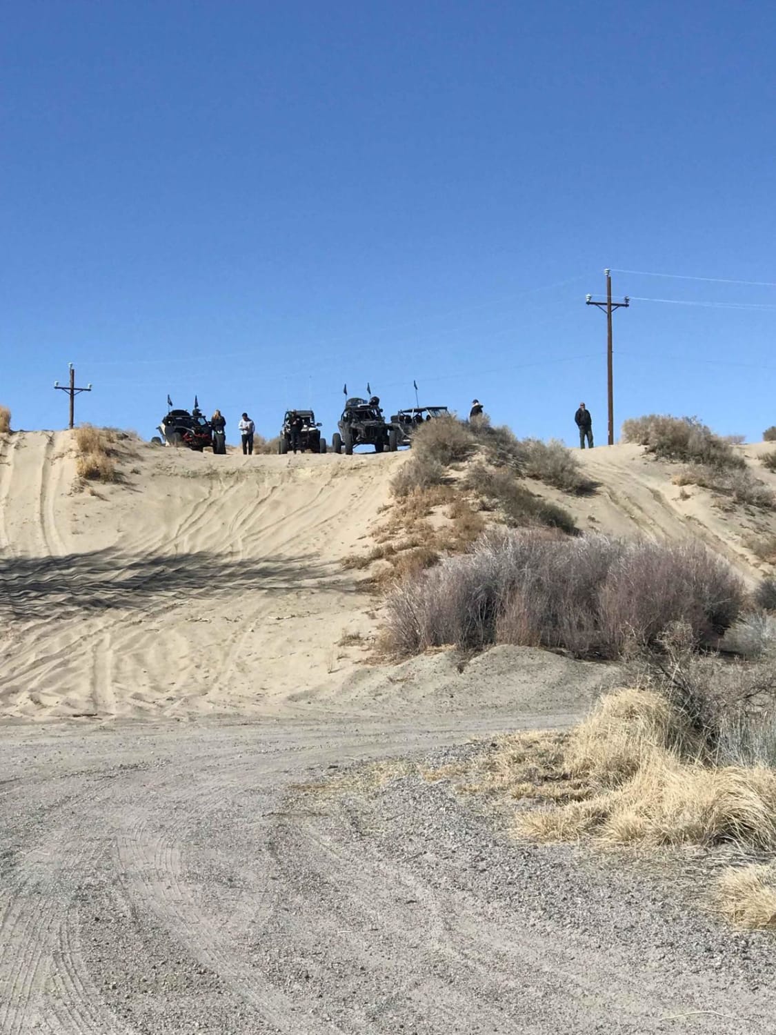
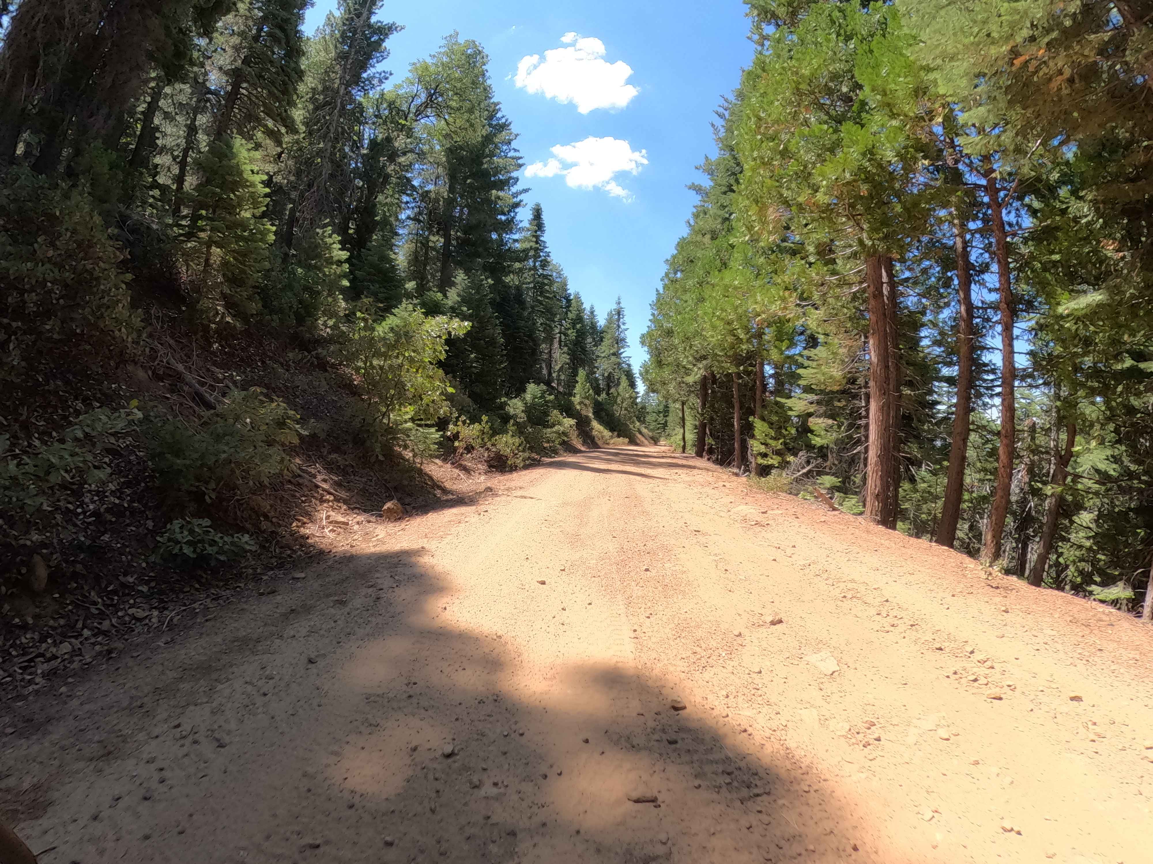
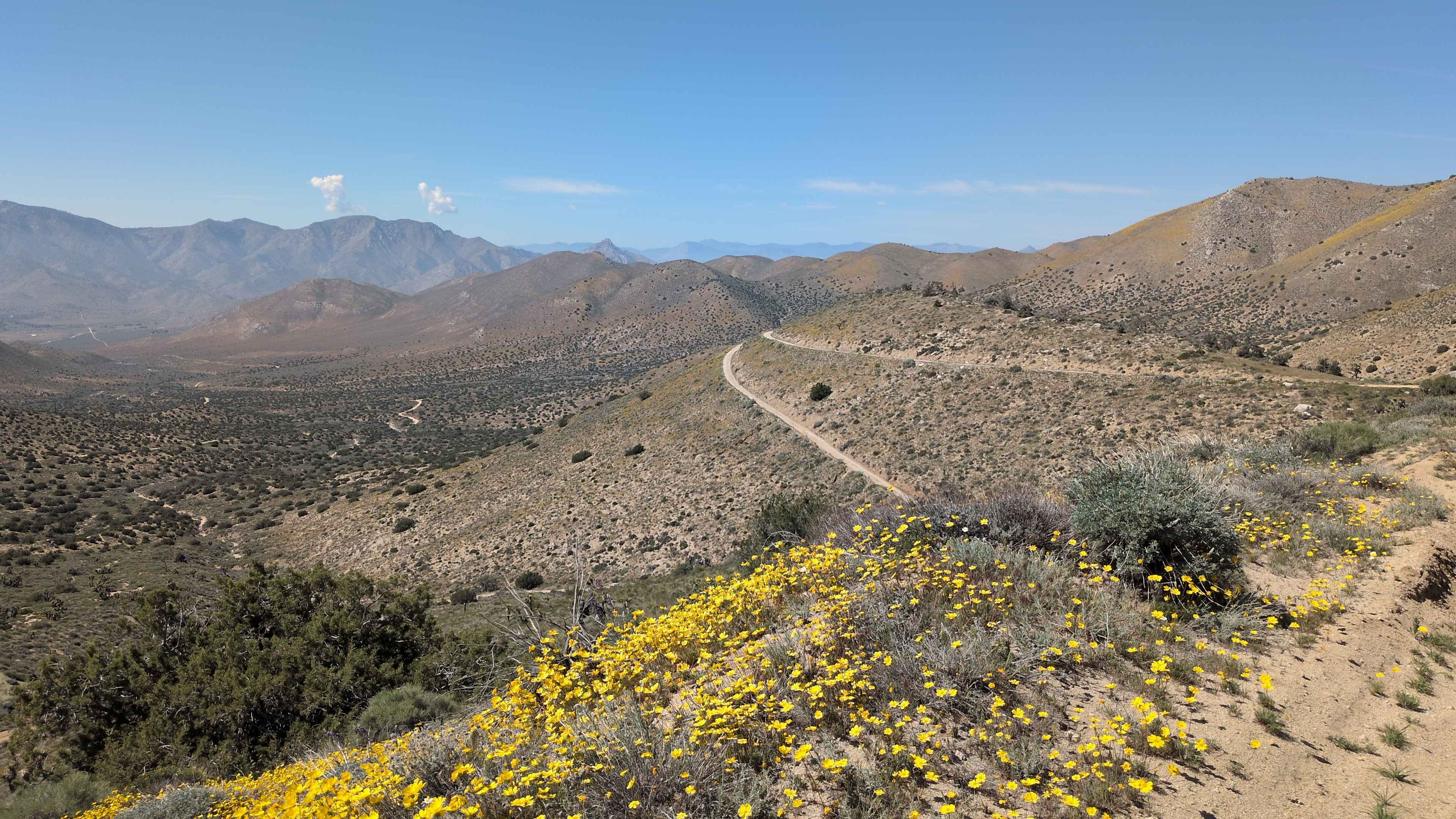
Photos of Big Pine to Silver Canyon
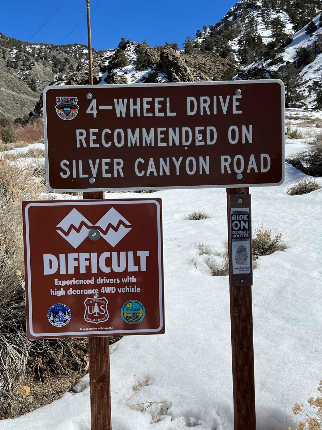
Difficulty
The easy trail should be able to do it with most lifted 2-wheel drives.
Status Reports
Big Pine to Silver Canyon can be accessed by the following ride types:
- High-Clearance 4x4
- SUV
- SxS (60")
- ATV (50")
- Dirt Bike
Big Pine to Silver Canyon Map
Popular Trails

Greys Mountain - FS 6S008
Buffin Meadow Road - FS 5S043
Bird Spring Canyon Road West BLM SC120
The onX Offroad Difference
onX Offroad combines trail photos, descriptions, difficulty ratings, width restrictions, seasonality, and more in a user-friendly interface. Available on all devices, with offline access and full compatibility with CarPlay and Android Auto. Discover what you’re missing today!