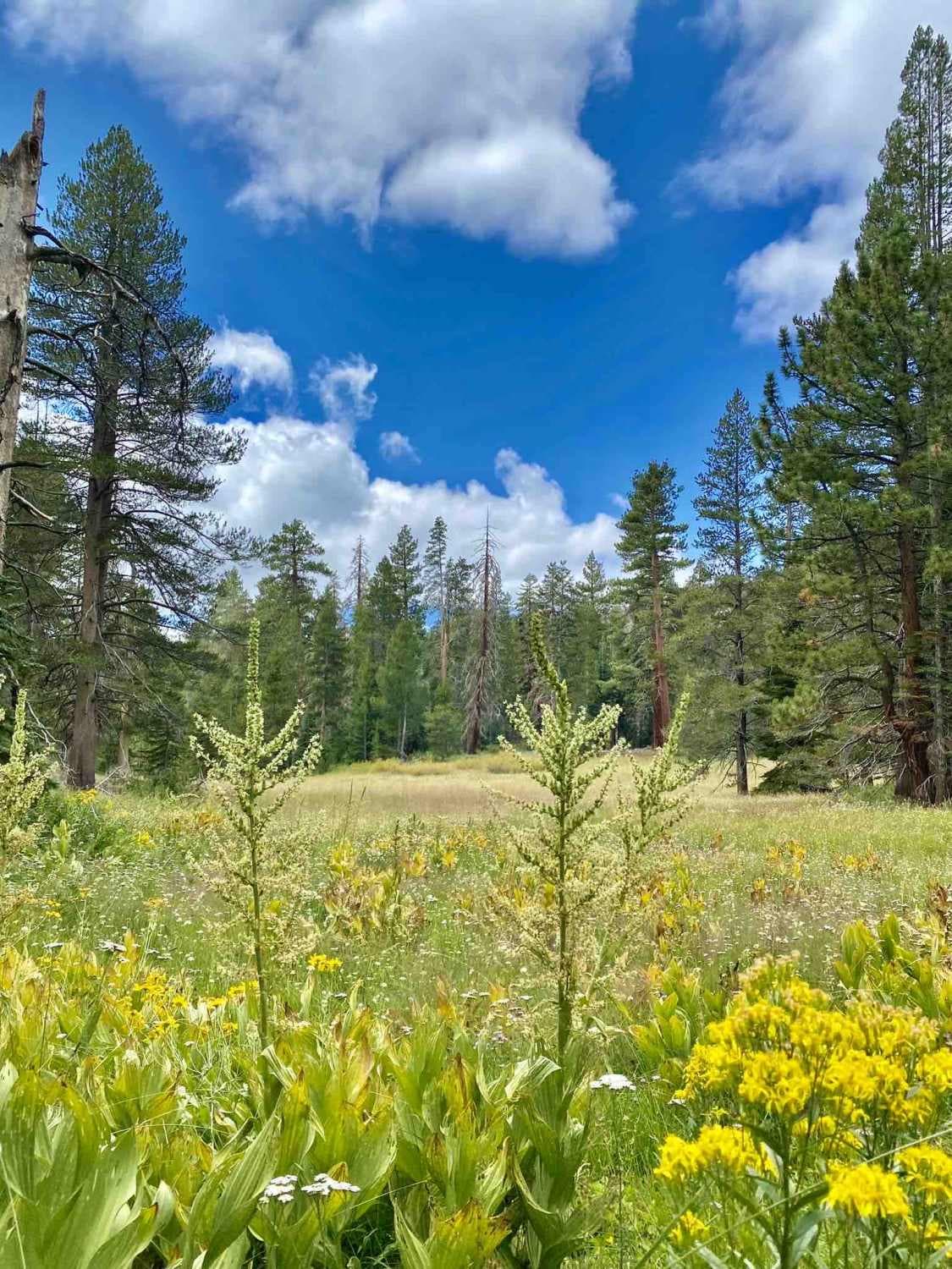
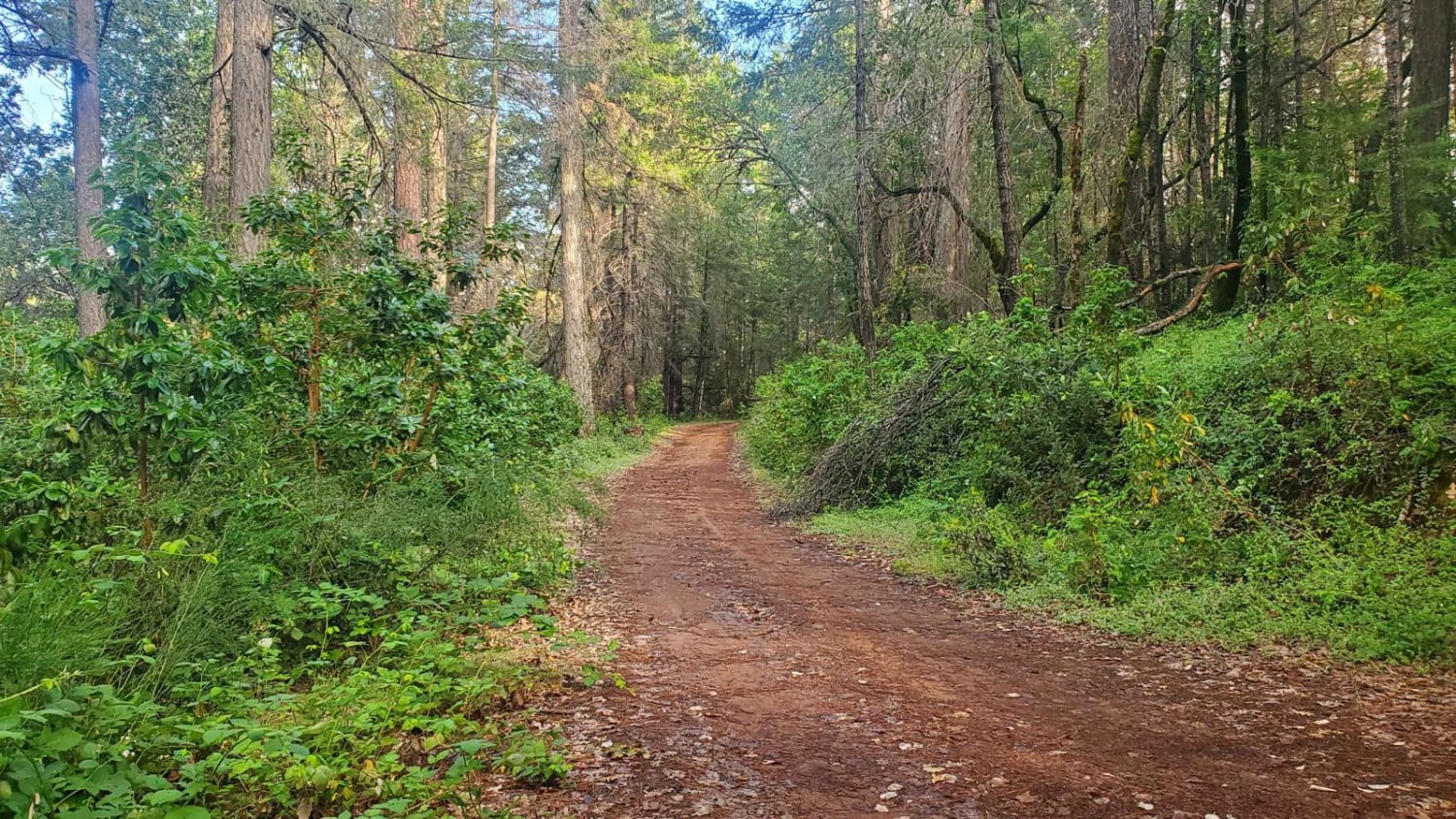
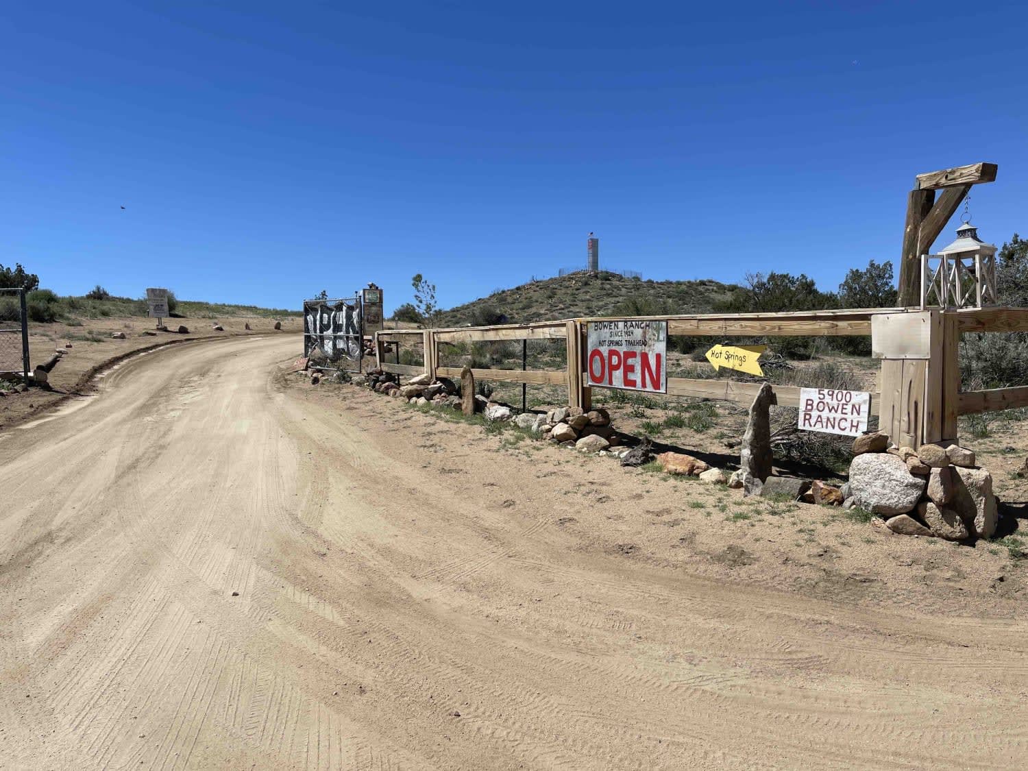
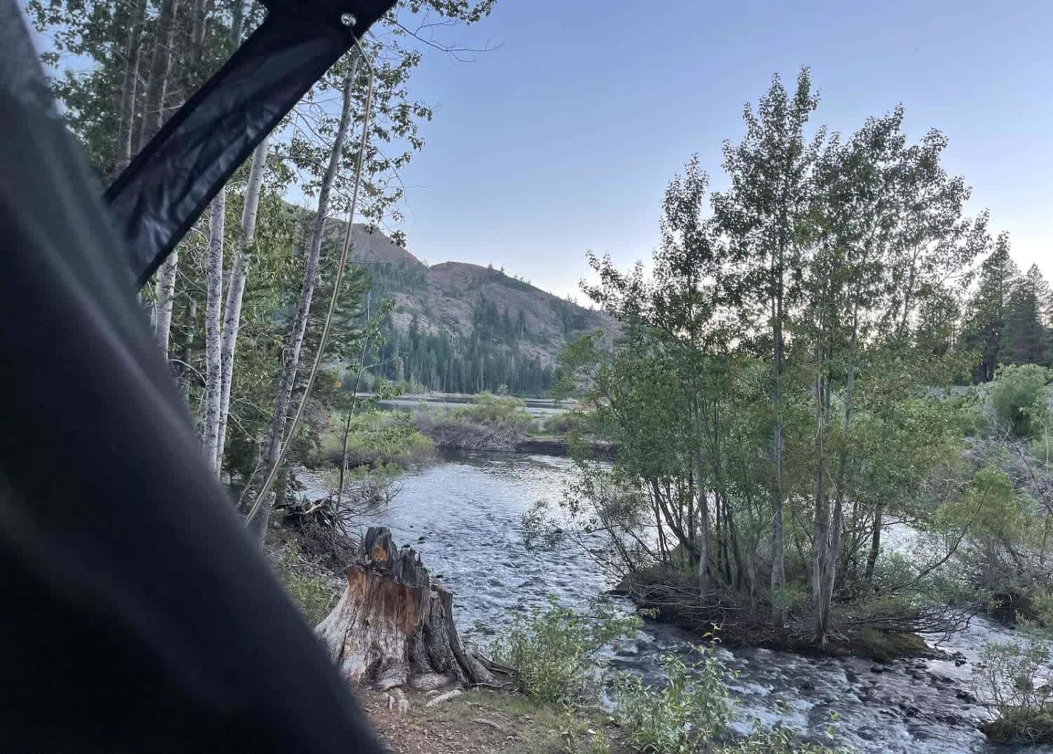
Off-Road Trails in California
Discover off-road trails in California
Learn more about Boole Tree Trailhead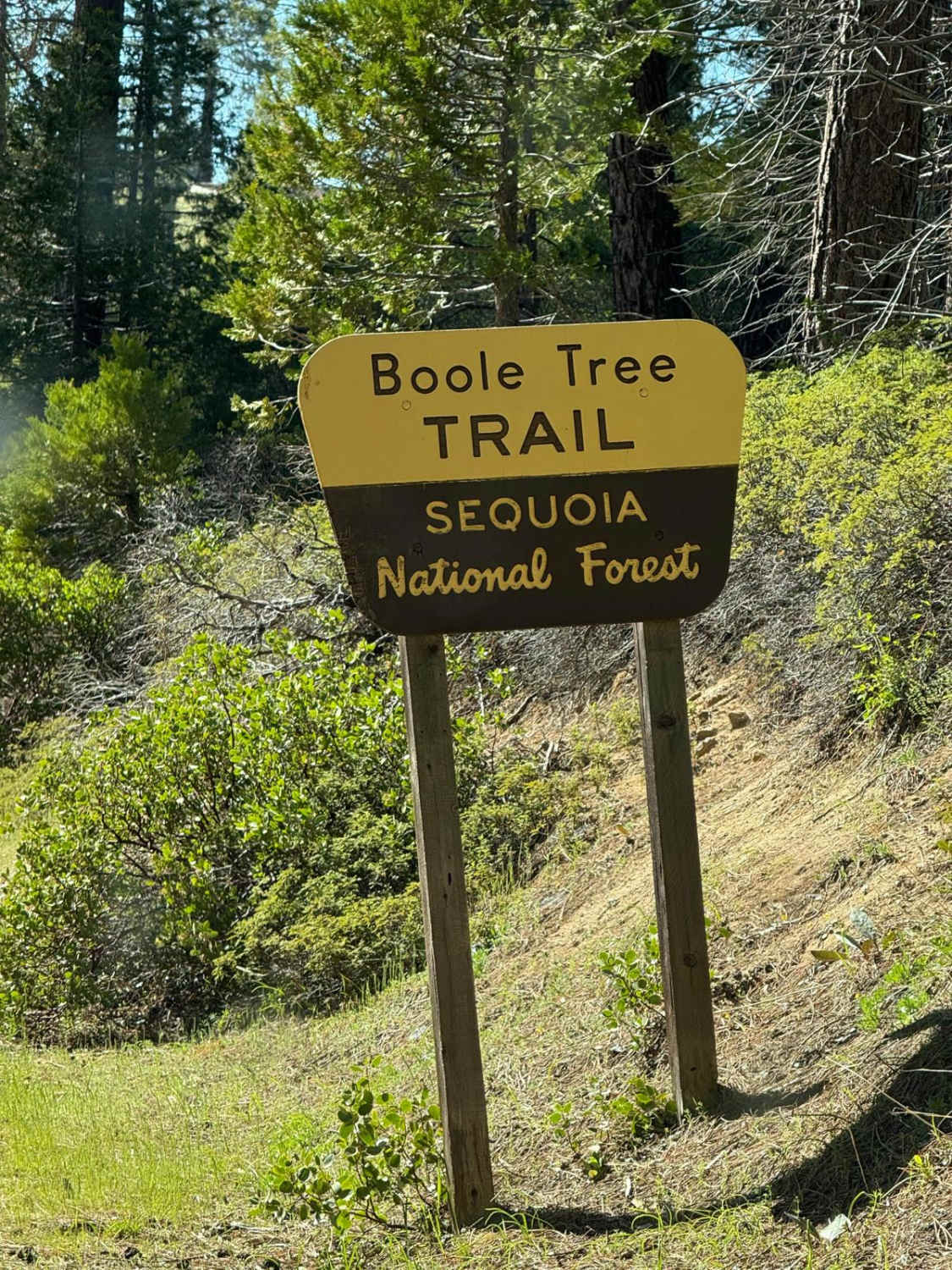
Boole Tree Trailhead
Total Miles
2.7
Tech Rating
Easy
Best Time
Summer, Fall
Learn more about Borderline 4WD - FS 32E42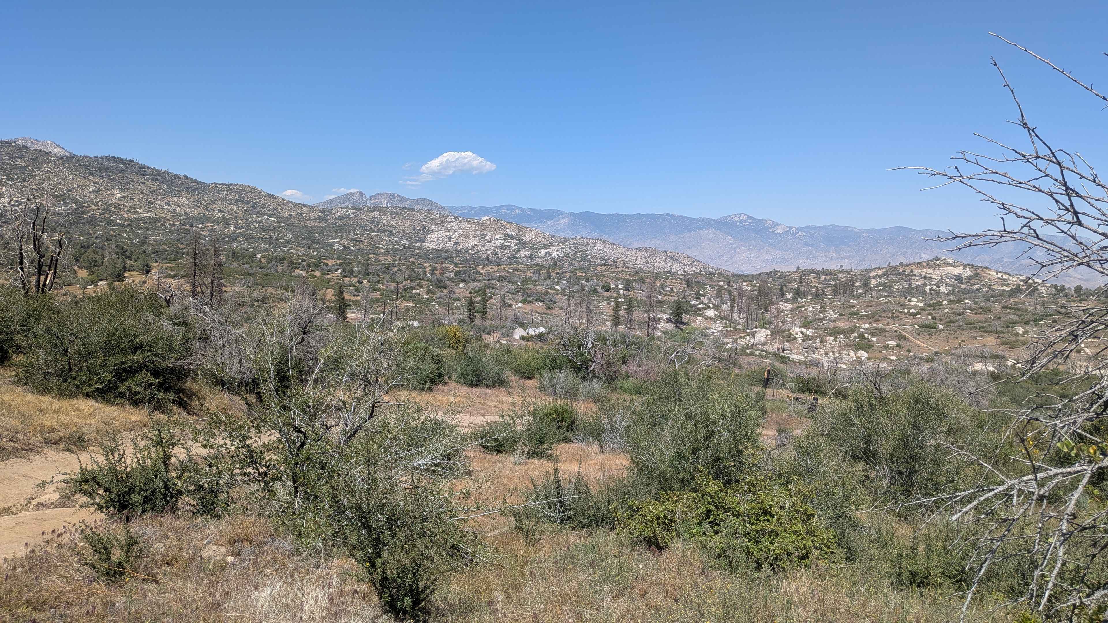
Borderline 4WD - FS 32E42
Total Miles
2.2
Tech Rating
Moderate
Best Time
Fall, Summer, Spring
Learn more about Borrego Mountain Wash
Borrego Mountain Wash
Total Miles
4.3
Tech Rating
Easy
Best Time
Spring, Summer
Learn more about Boulder Dash
Boulder Dash
Total Miles
0.4
Tech Rating
Moderate
Best Time
Spring, Fall, Winter
Learn more about Boundary Circle 1
Boundary Circle 1
Total Miles
1.2
Tech Rating
Easy
Best Time
Winter, Fall, Spring
Learn more about Boundary Ridge, Trail 25
Boundary Ridge, Trail 25
Total Miles
5.4
Tech Rating
Difficult
Best Time
Spring, Summer, Fall
Learn more about Boundary Road - FS 17N06
Boundary Road - FS 17N06
Total Miles
1.6
Tech Rating
Easy
Best Time
Spring, Summer, Fall
Learn more about Bouquet Trail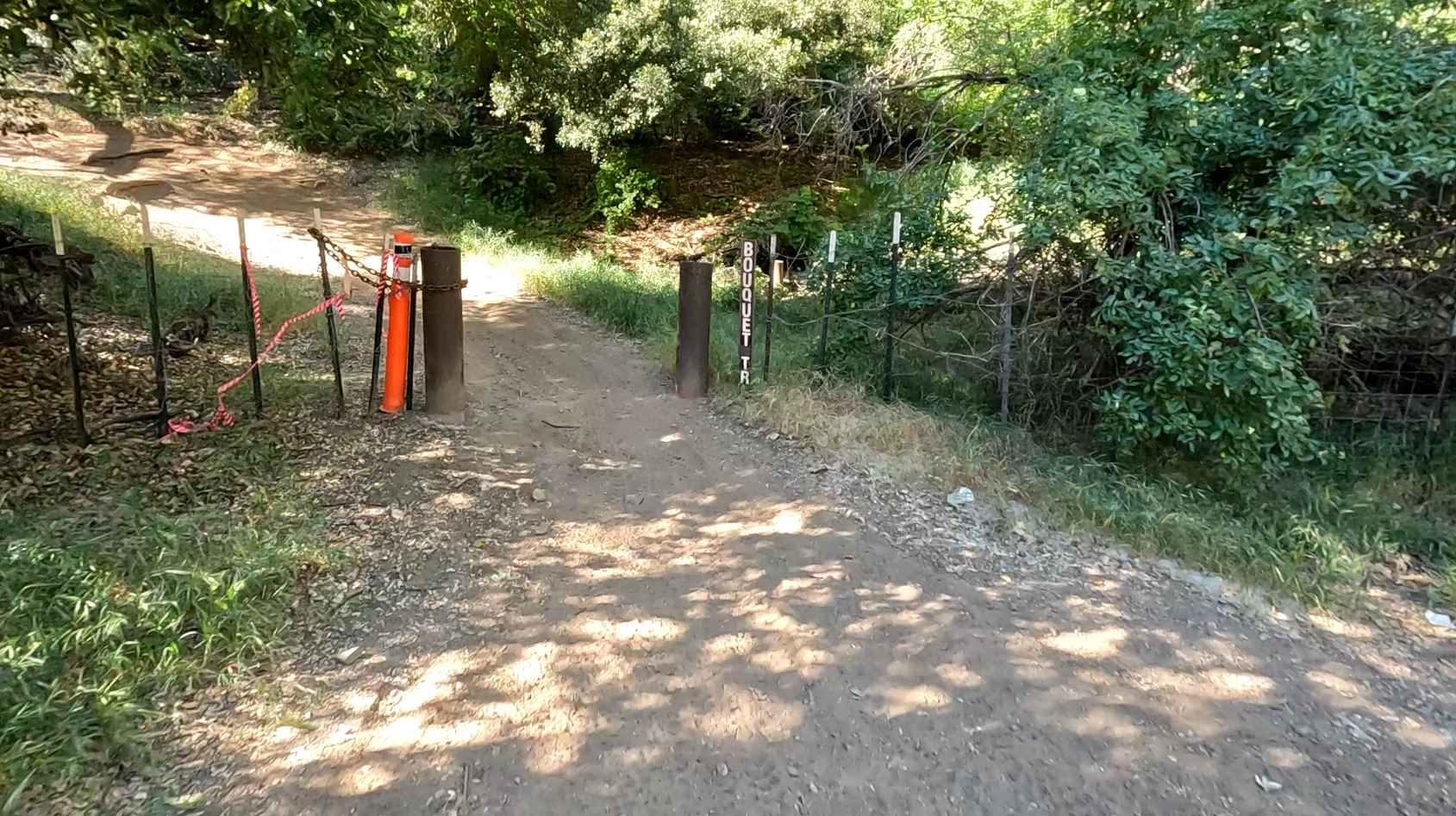
Bouquet Trail
Total Miles
1.5
Tech Rating
Moderate
Best Time
Spring, Fall, Winter
Learn more about Bow Tie - FS 25E208
Bow Tie - FS 25E208
Total Miles
4.5
Tech Rating
Easy
Best Time
Summer, Fall
Learn more about BP & L Road - FS 4N33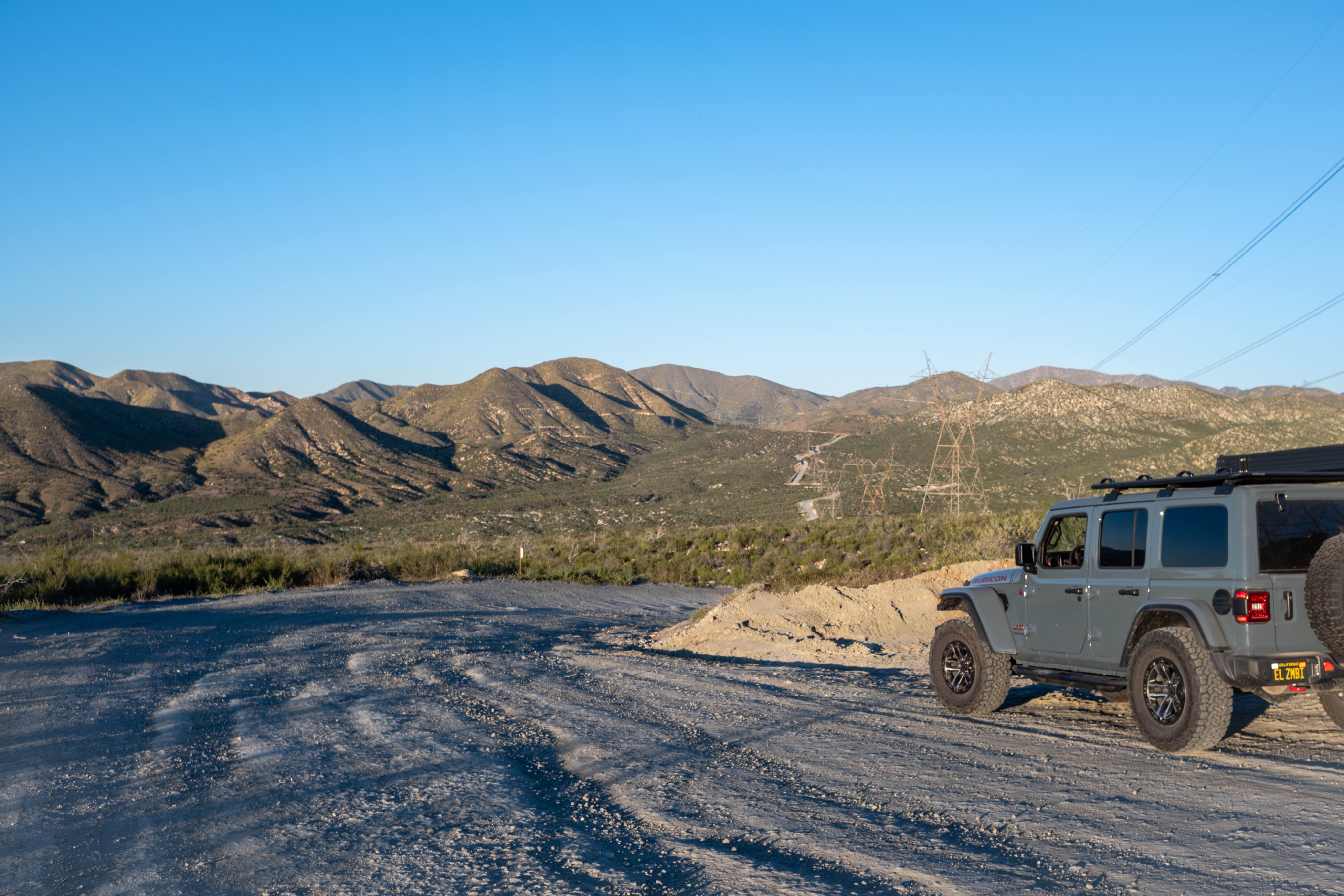
BP & L Road - FS 4N33
Total Miles
3.8
Tech Rating
Easy
Best Time
Spring, Fall, Winter, Summer
Learn more about Bradshaw's Trail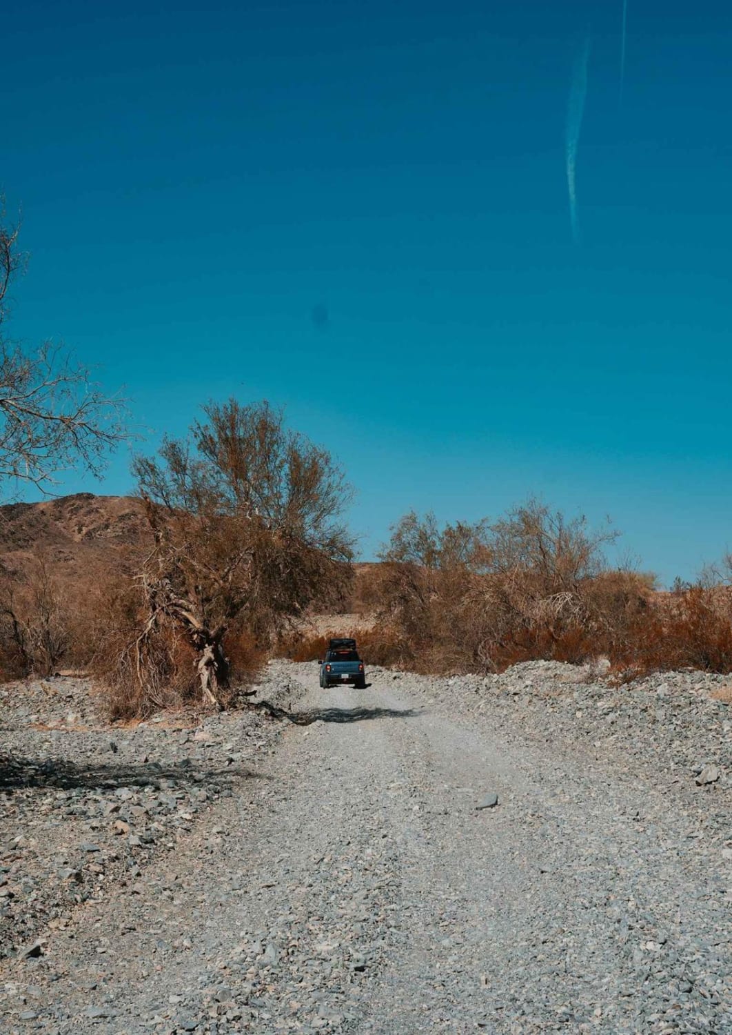
Bradshaw's Trail
Total Miles
70.2
Tech Rating
Easy
Best Time
Spring, Fall, Winter
Learn more about Brewer Lake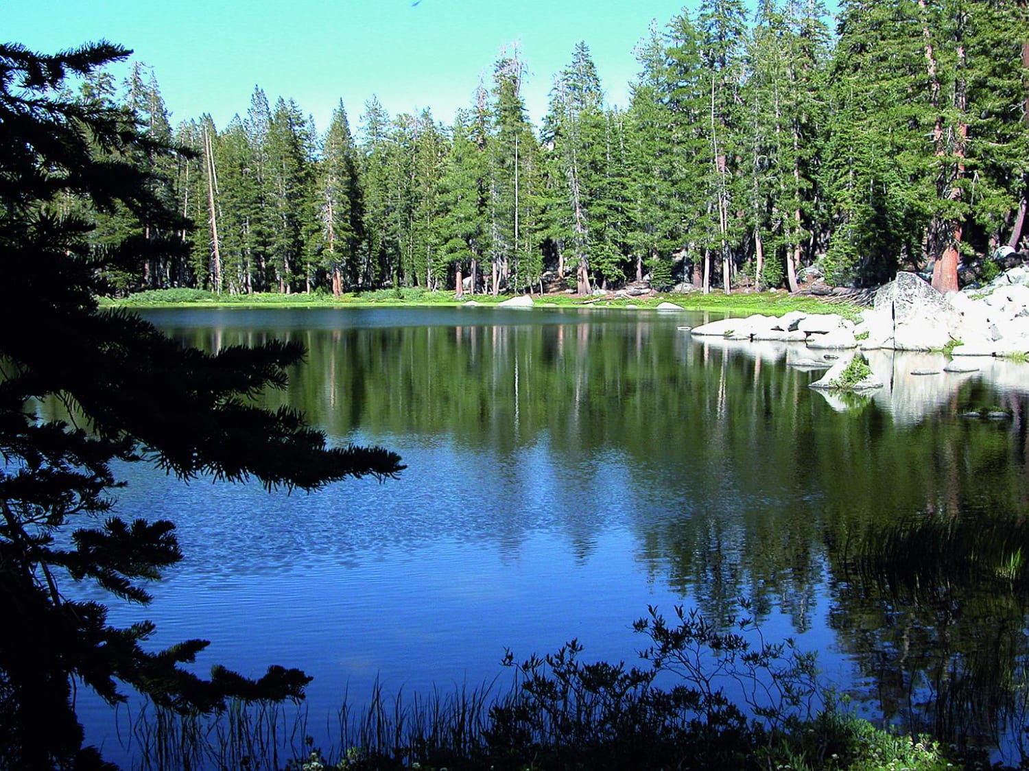
Brewer Lake
Total Miles
3.0
Tech Rating
Difficult
Best Time
Summer, Fall, Winter
Learn more about Briceburg Road - FS 2S05
Briceburg Road - FS 2S05
Total Miles
1.1
Tech Rating
Easy
Best Time
Summer, Spring, Fall
Learn more about Briceburg Road - Merced River
Briceburg Road - Merced River
Total Miles
5.7
Tech Rating
Easy
Best Time
Summer, Fall, Spring
Learn more about Briggs Camp
Briggs Camp
Total Miles
4.7
Tech Rating
Difficult
Best Time
Fall, Winter, Spring
Learn more about Brimstone - S24
Brimstone - S24
Total Miles
5.6
Tech Rating
Easy
Best Time
Spring, Summer, Fall
ATV trails in California


UTV/side-by-side trails in California


Learn more about 3N267 Fenner Saddle (4N12)
3N267 Fenner Saddle (4N12)
Total Miles
3.8
Tech Rating
Difficult
Best Time
Spring, Summer, Fall, Winter

The onX Offroad Difference
onX Offroad combines trail photos, descriptions, difficulty ratings, width restrictions, seasonality, and more in a user-friendly interface. Available on all devices, with offline access and full compatibility with CarPlay and Android Auto. Discover what you’re missing today!