Off-Road Trails in California
Discover off-road trails in California
ATV trails in California


UTV/side-by-side trails in California


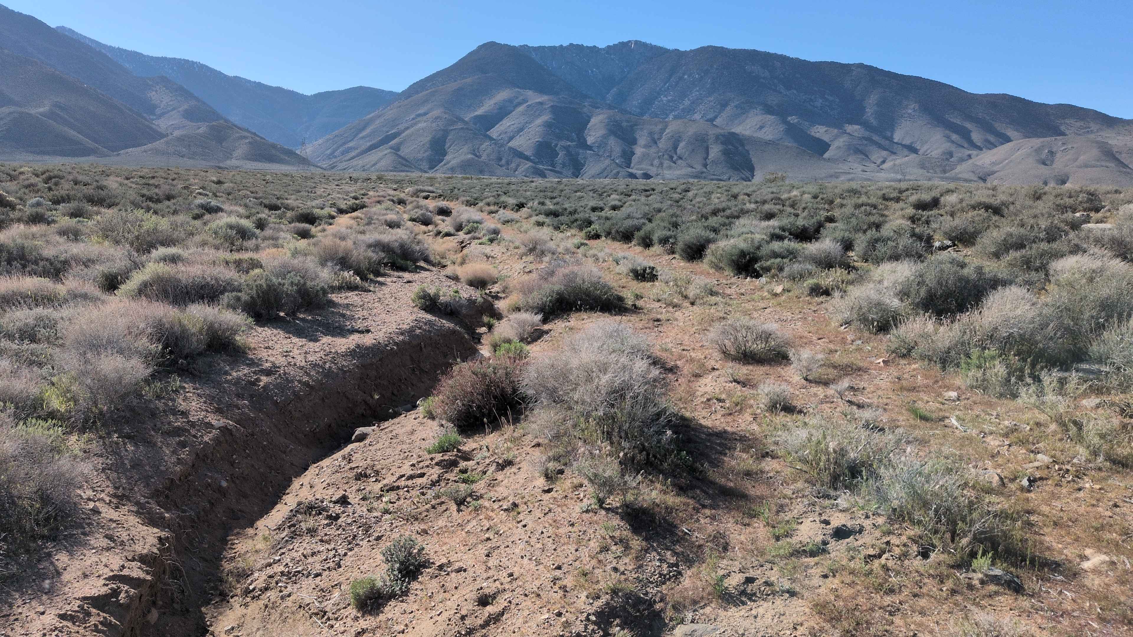
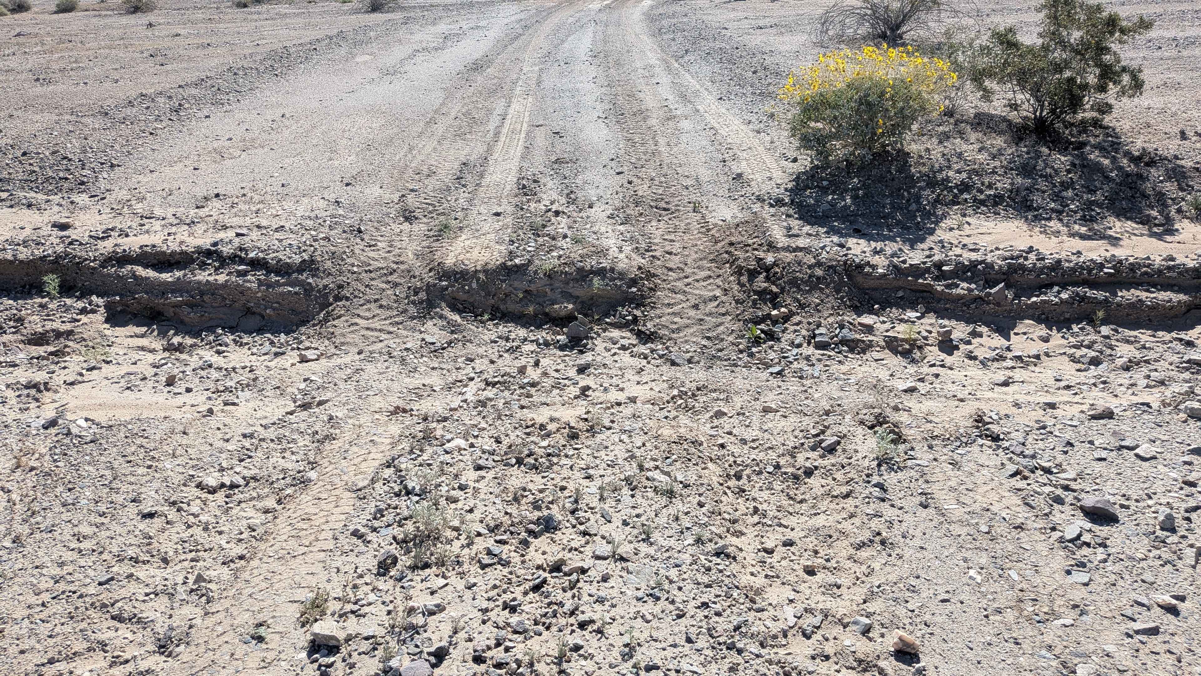
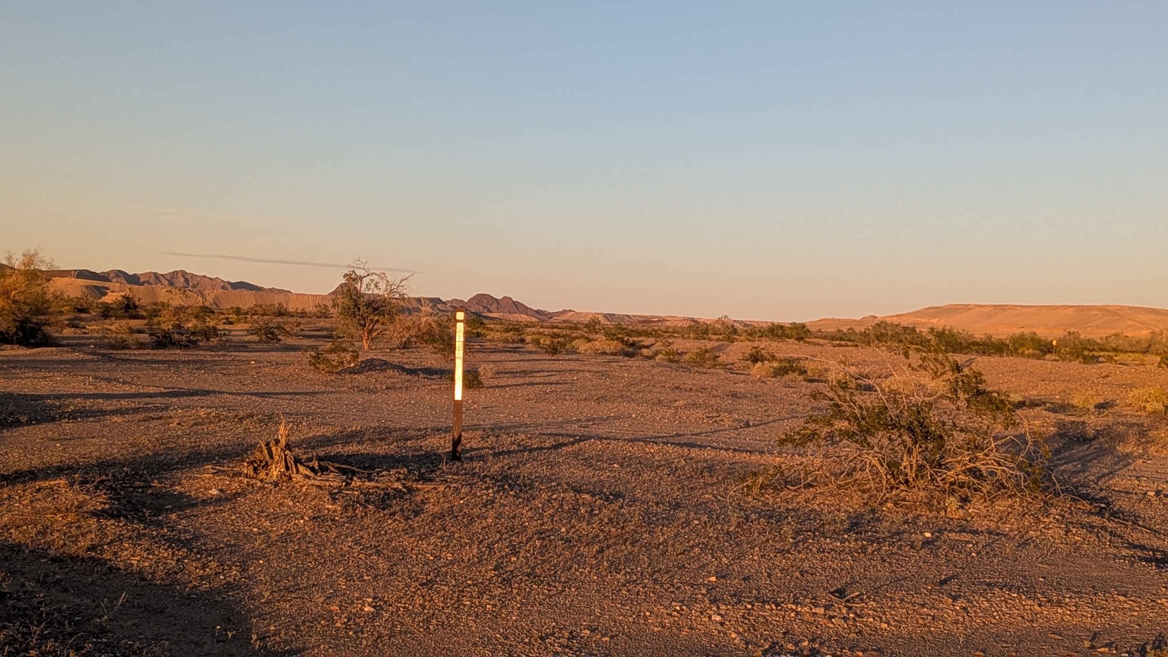
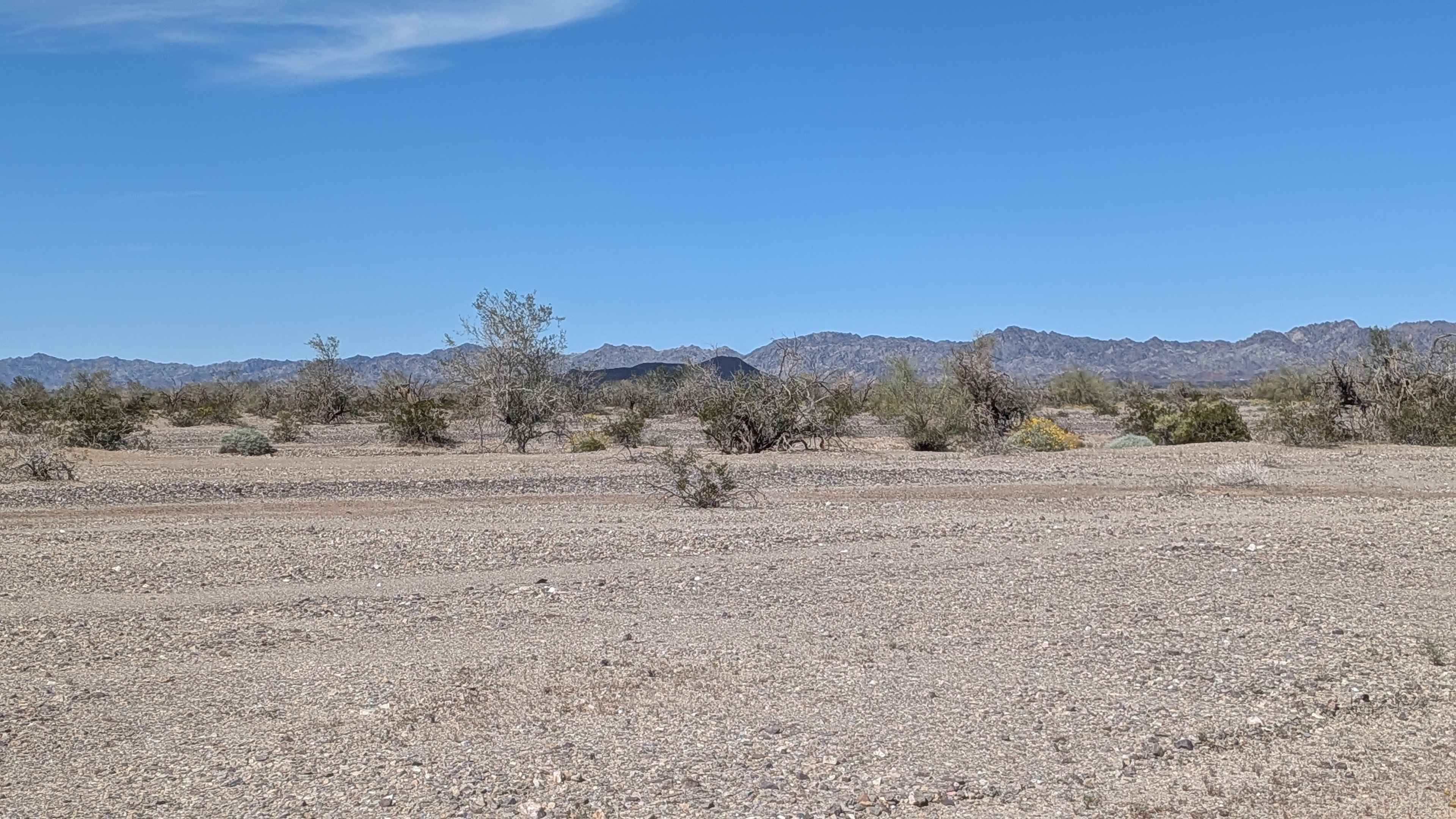
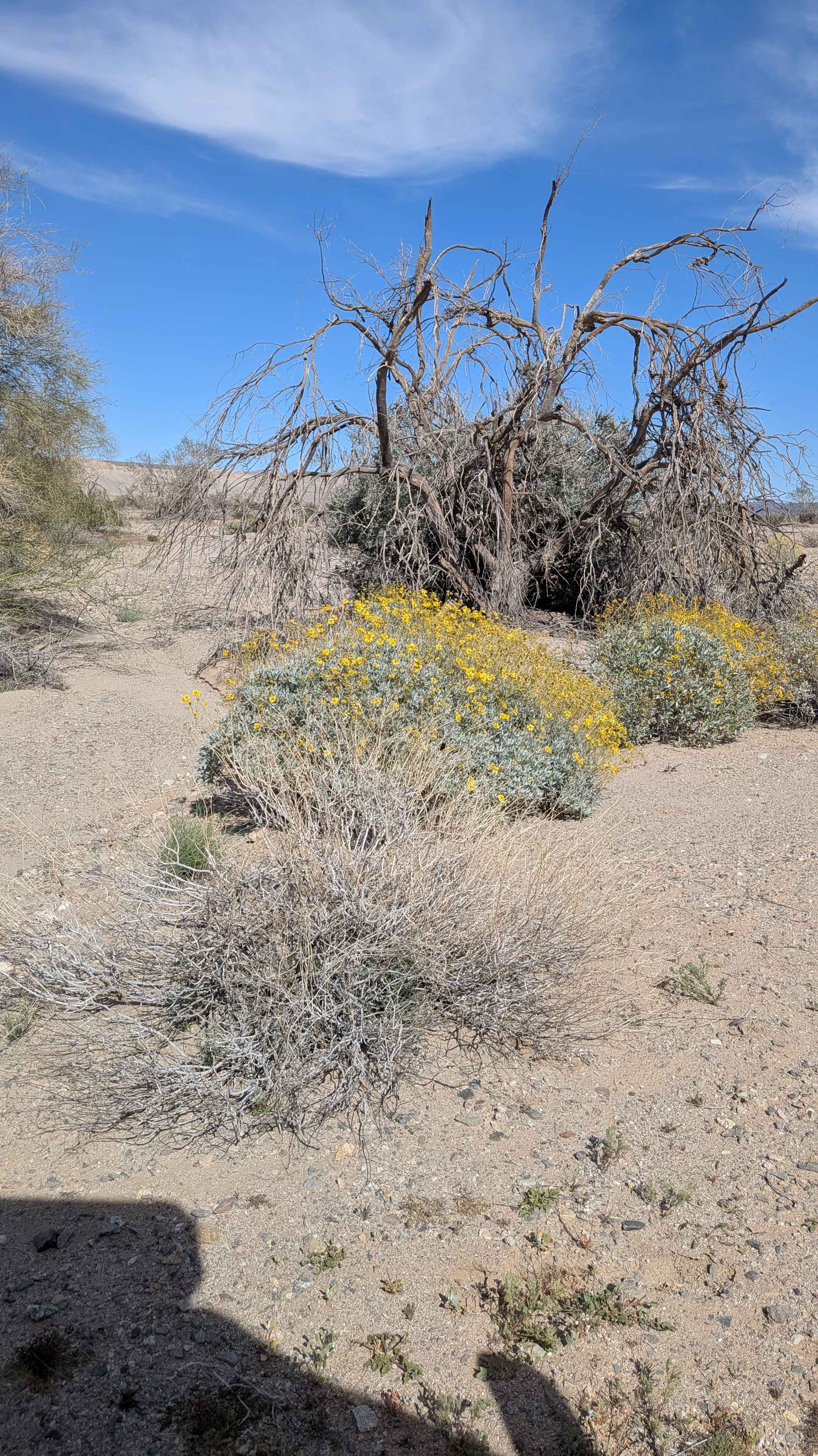
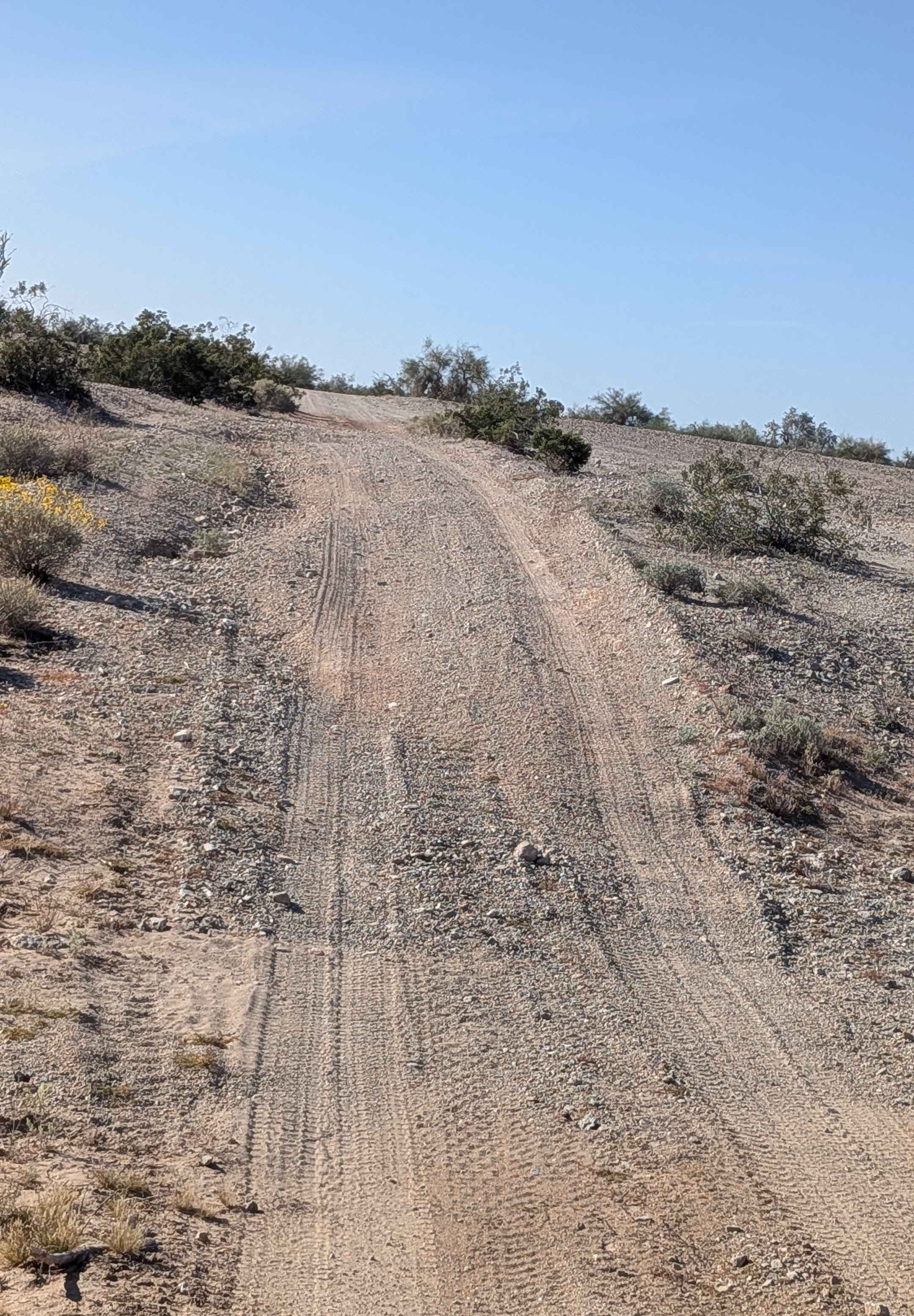
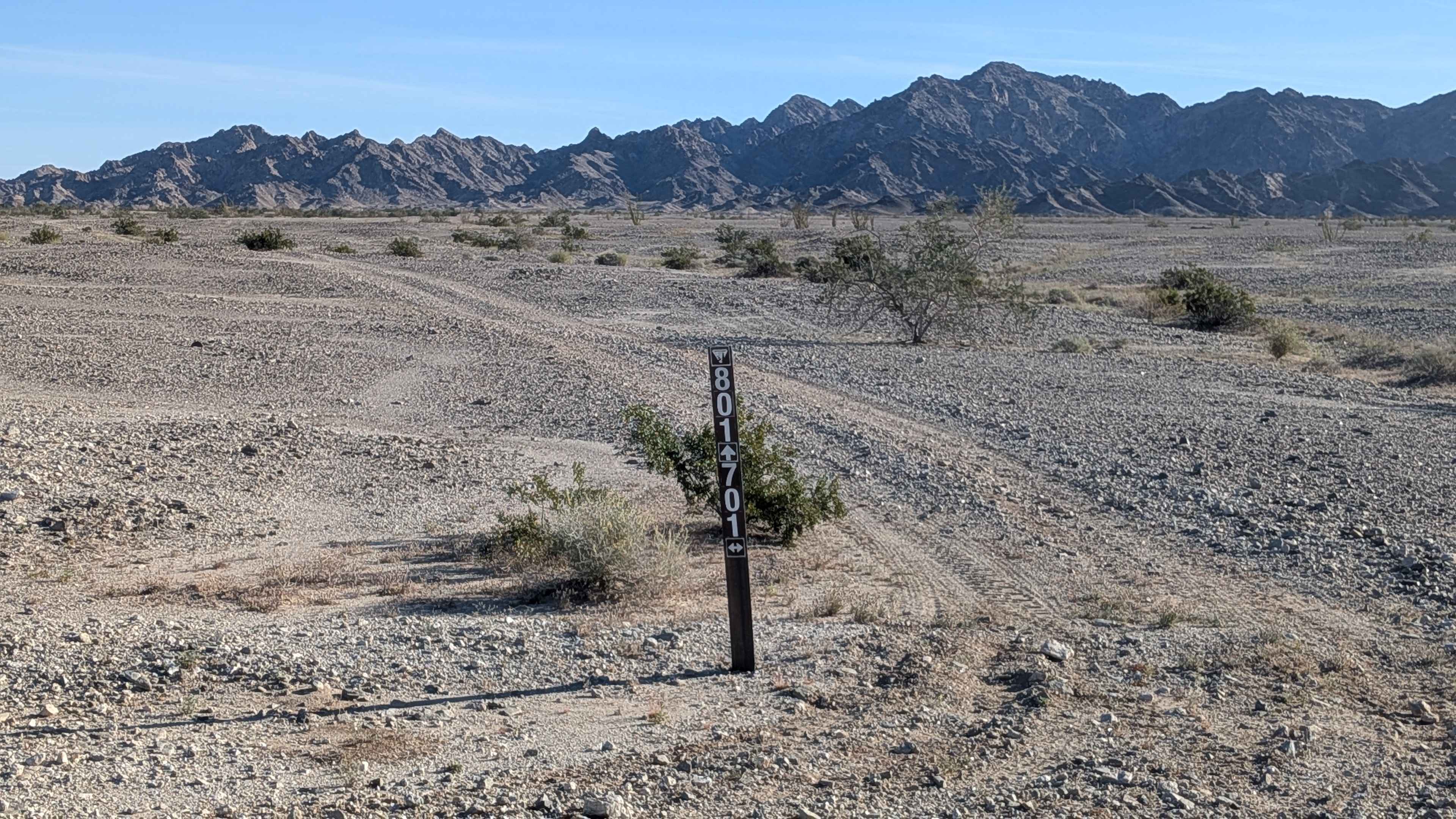
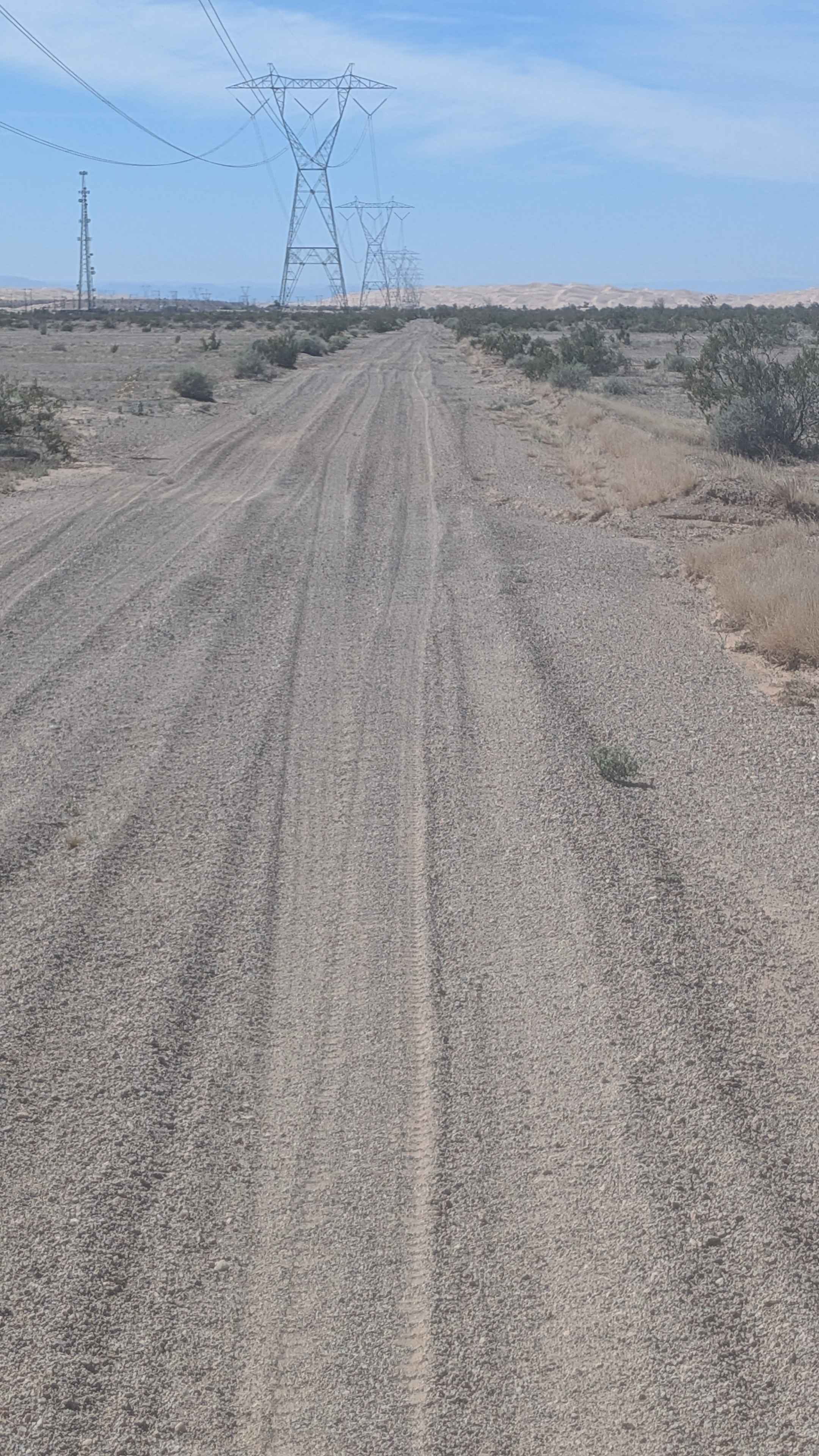
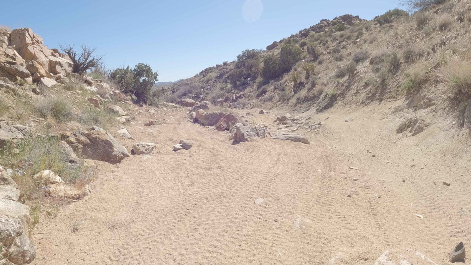
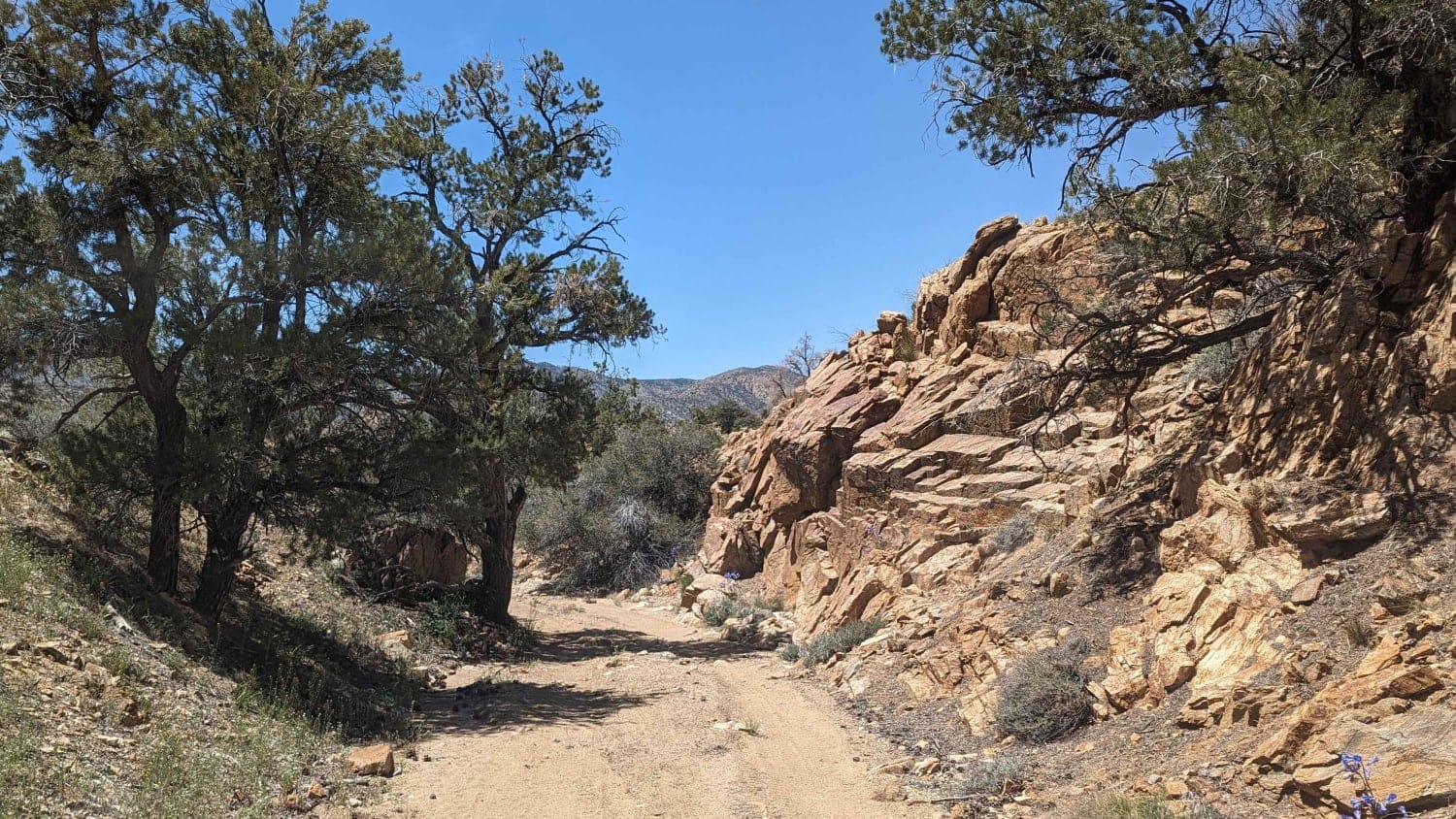
Learn more about 3N267 Fenner Saddle (4N12)
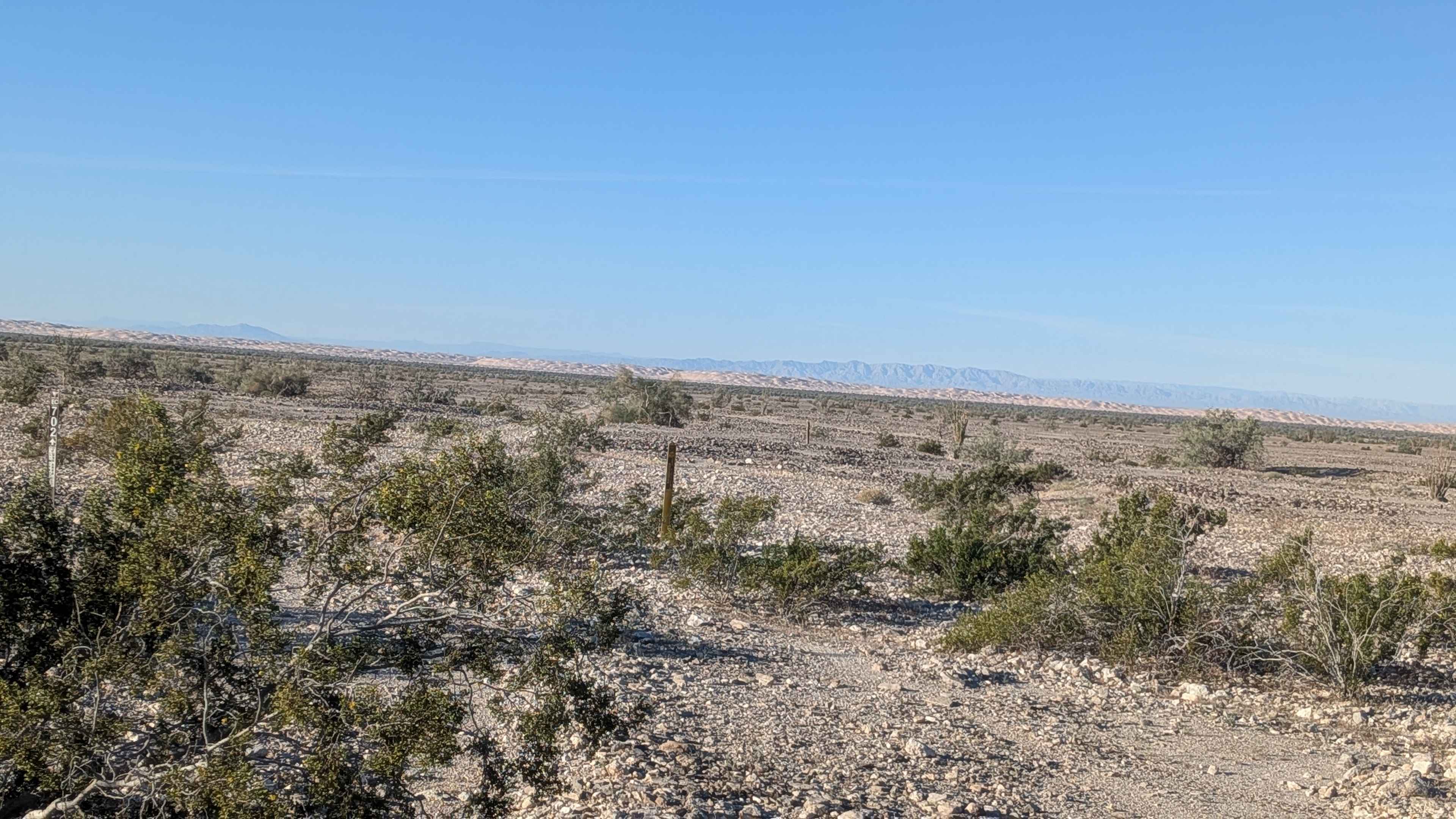
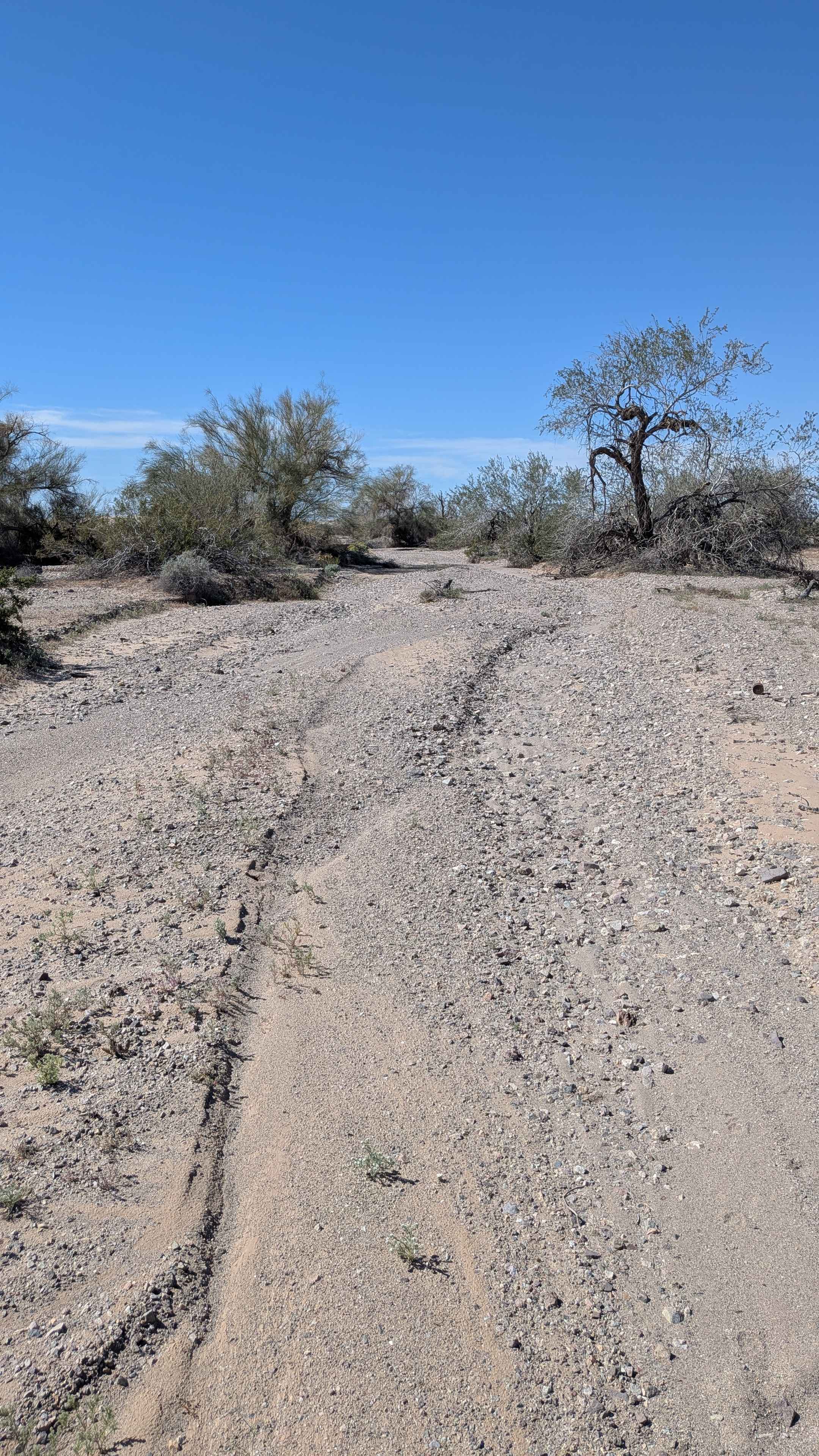
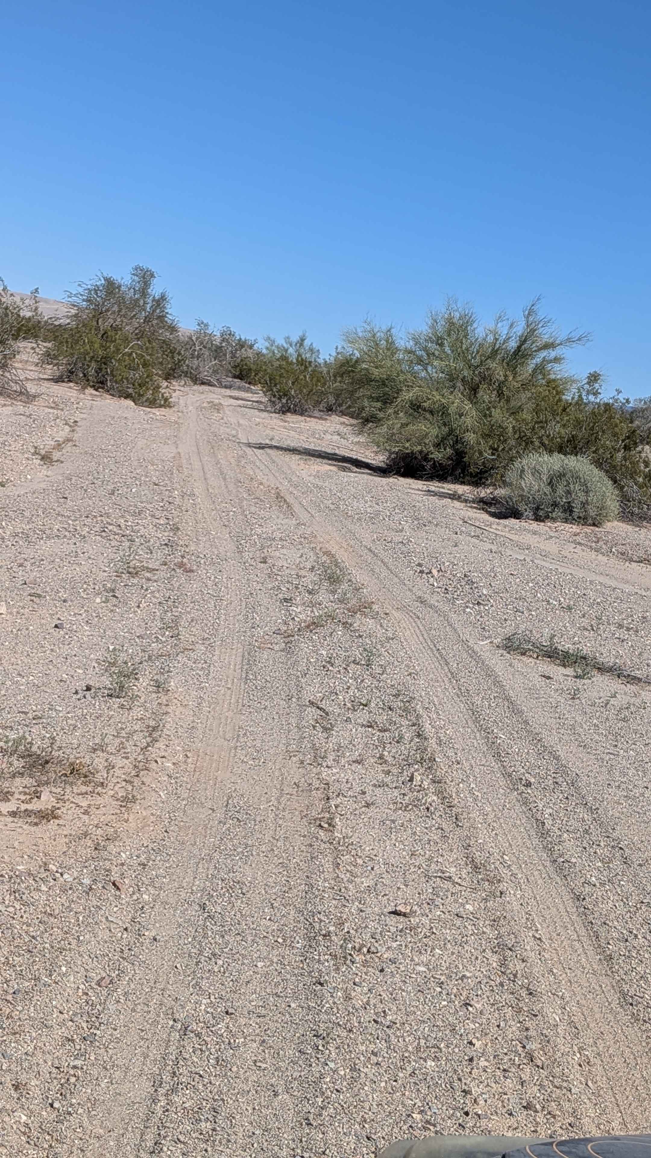
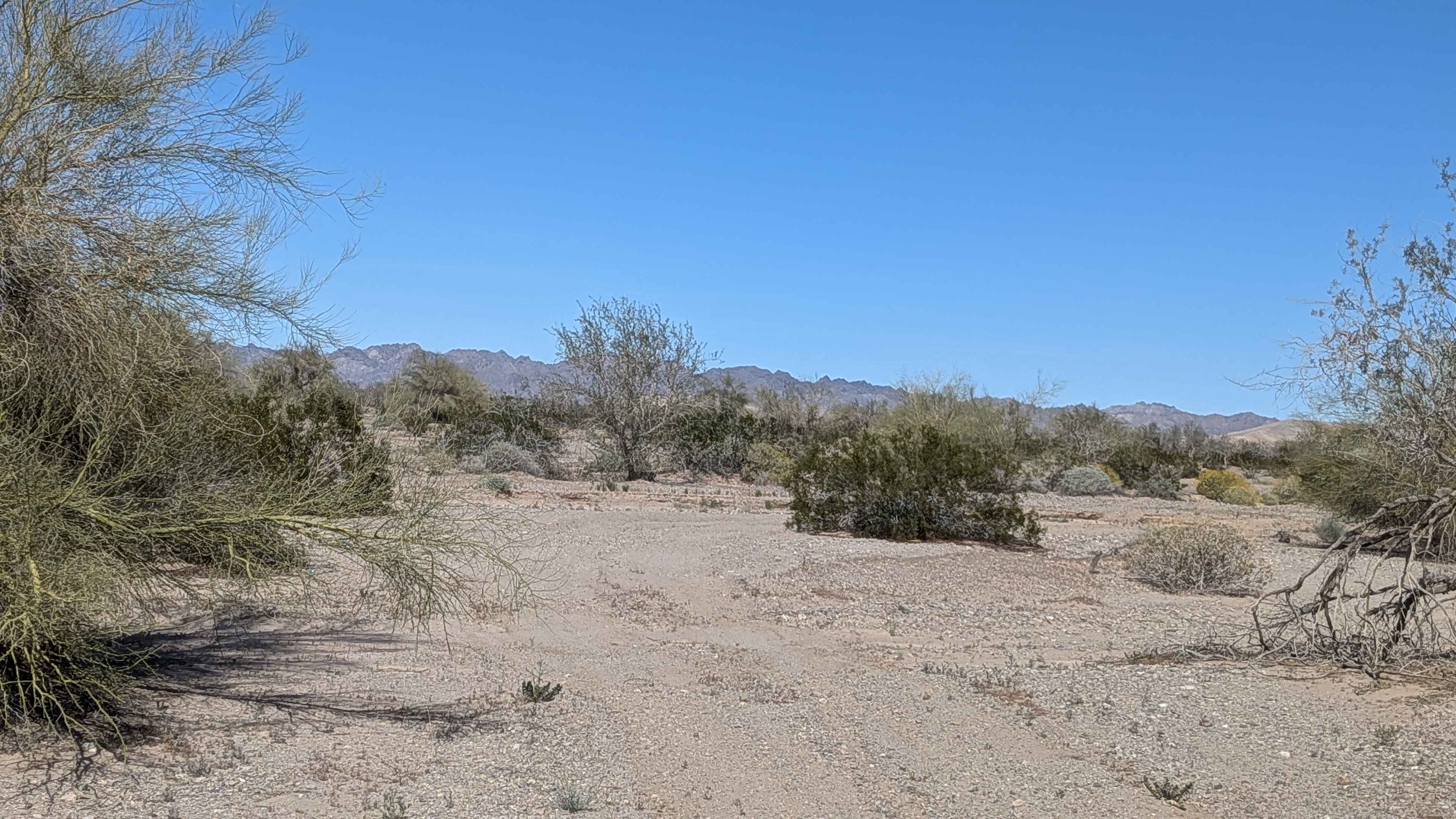
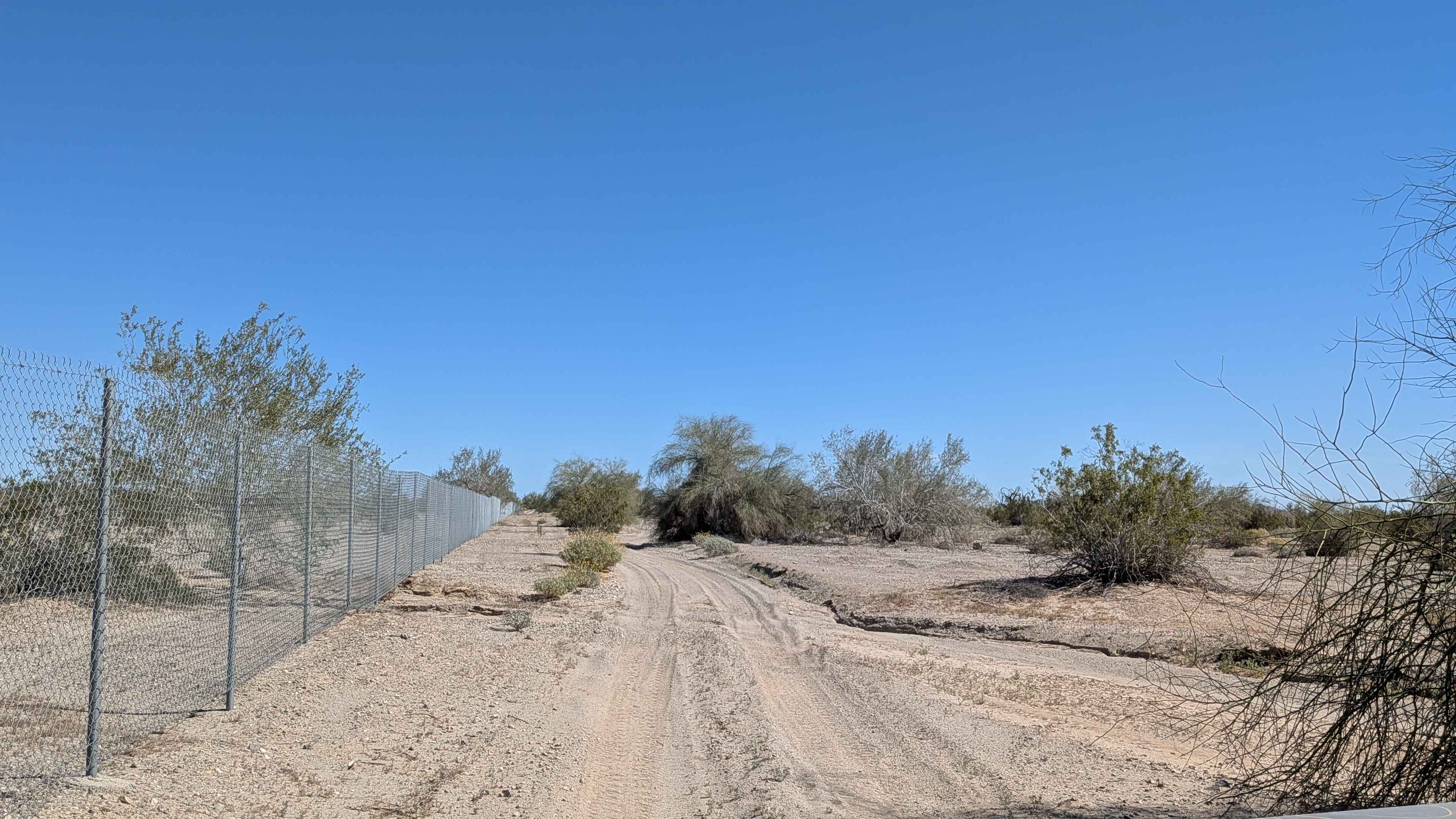
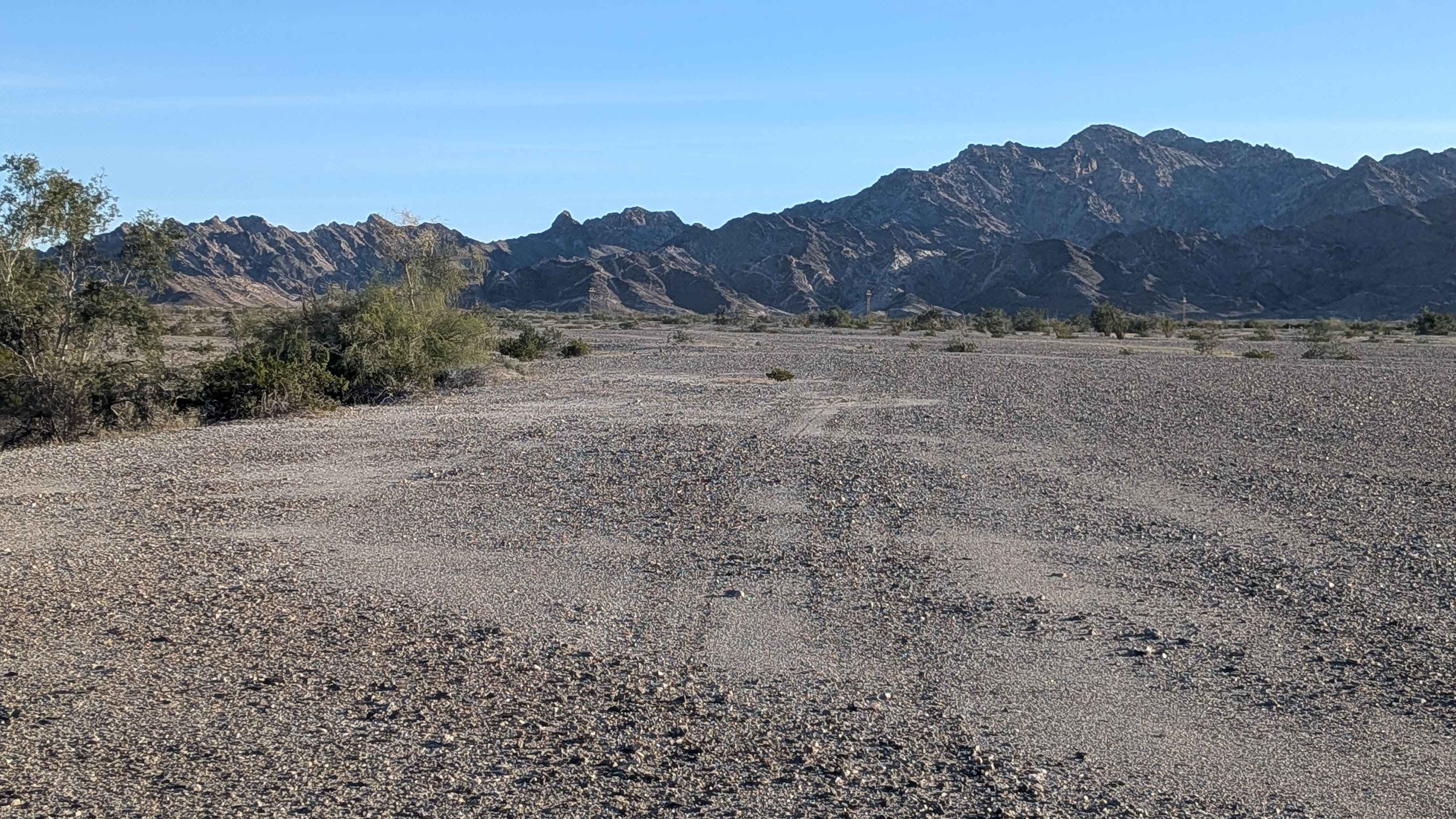
3N267 Fenner Saddle (4N12)
Total Miles
3.8
Tech Rating
Difficult
Best Time
Spring, Summer, Fall, Winter

The onX Offroad Difference
onX Offroad combines trail photos, descriptions, difficulty ratings, width restrictions, seasonality, and more in a user-friendly interface. Available on all devices, with offline access and full compatibility with CarPlay and Android Auto. Discover what you’re missing today!