BLM 412
Total Miles
2.3
Technical Rating
Best Time
Winter, Fall, Spring
Trail Type
Full-Width Road
Accessible By
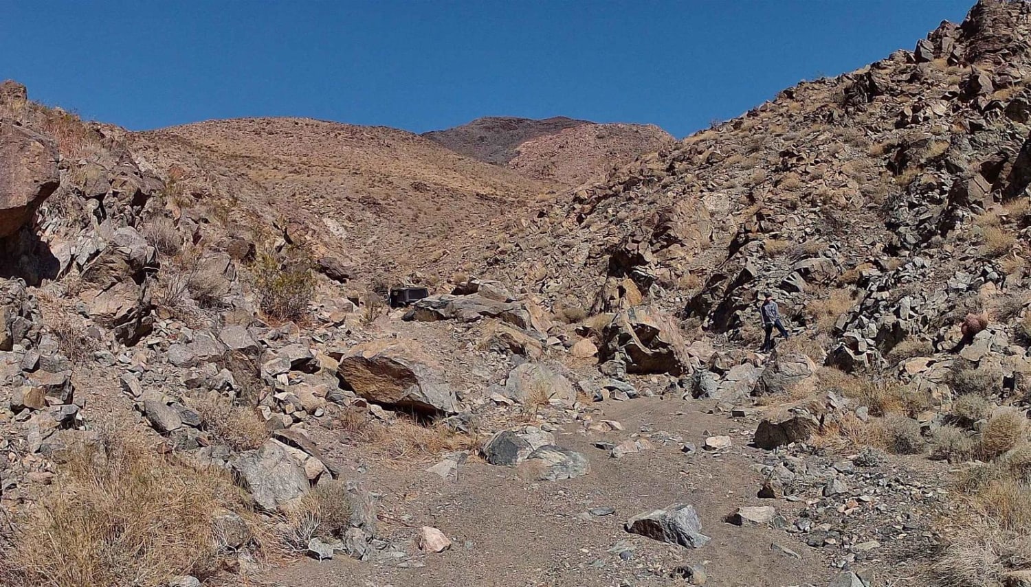
Trail Overview
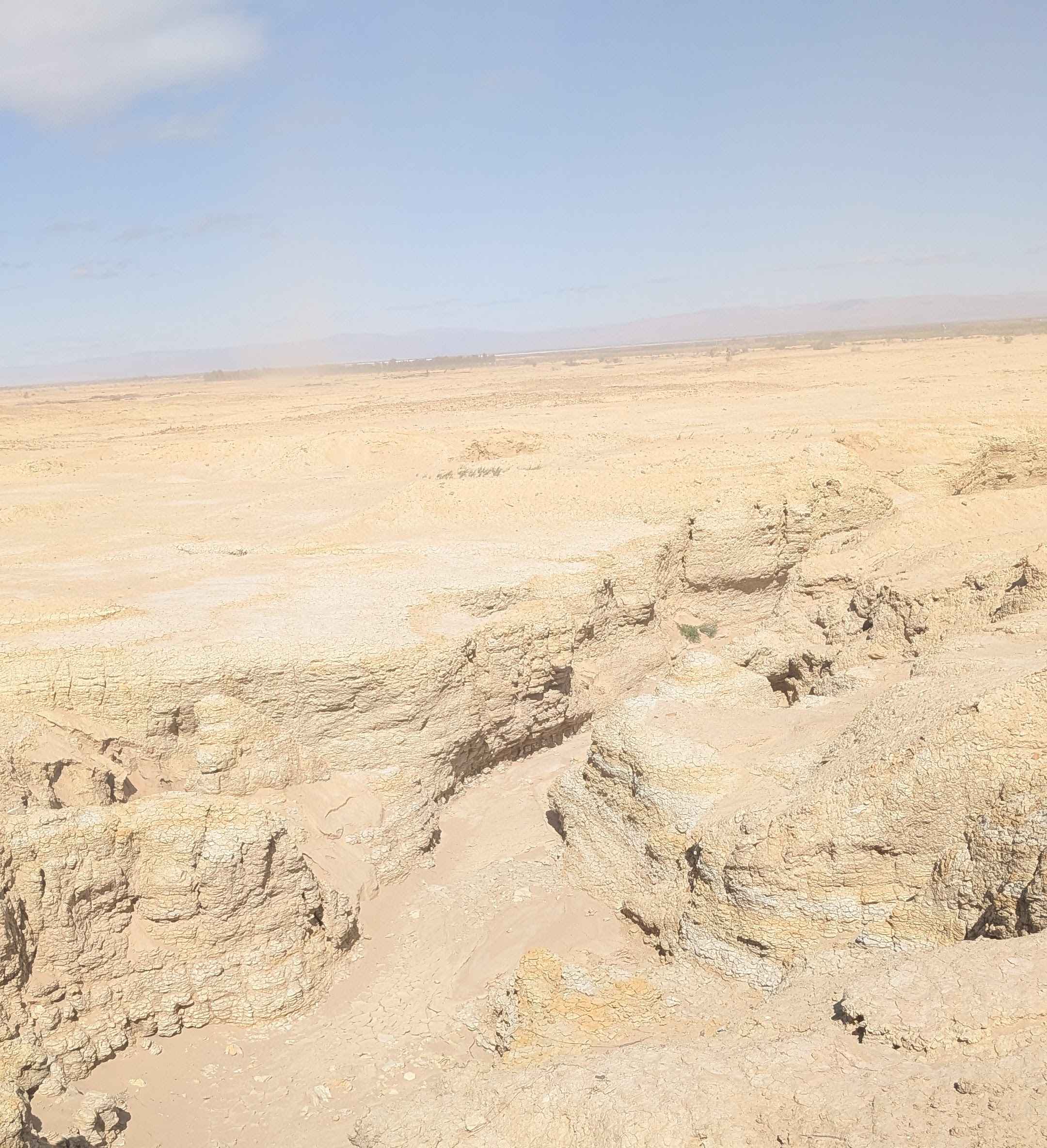
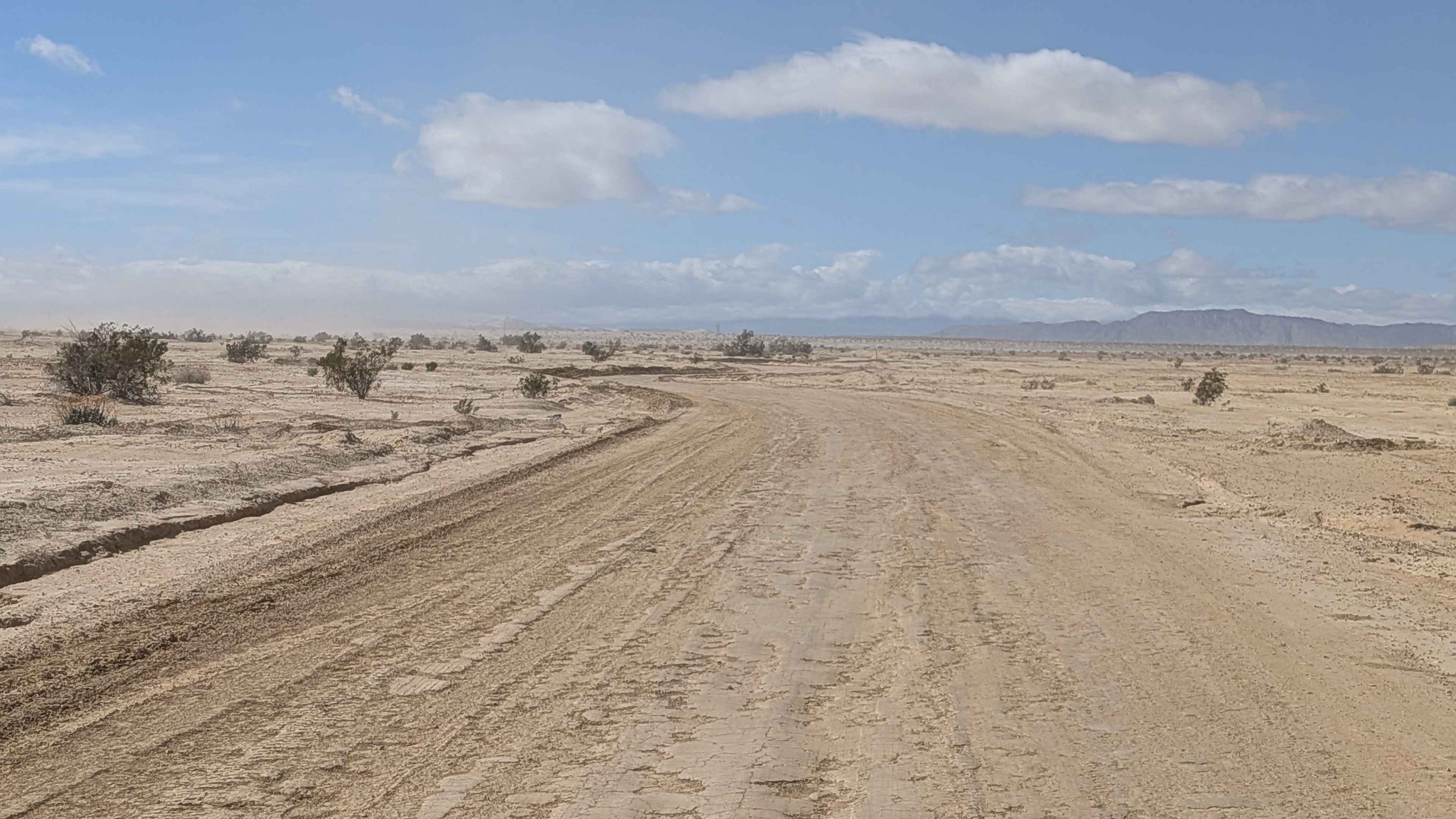
This trail is a hard-packed sand route that connects BLM 326 to farmland roads to the east, serving as an important connector between recreation areas and agricultural lands. There is very little vegetation, with just a few large and small bushes scattered throughout the sparse landscape. The land to the north and south of the trail are limited use areas, so no camping or vehicles are allowed off the designated route in these sections. The area had recently been decimated by floods and is being repaired, so conditions may be changing as restoration work progresses.
Photos of BLM 412
Difficulty
This is an easy trail with good surface conditions on hard-packed sand, making navigation straightforward. The recent flood damage and ongoing repairs mean conditions could vary, but the trail itself remains accessible. Respect the limited-use area boundaries to the north and south, where no camping or vehicles are allowed off-trail. The hard-packed surface makes this a simple connector route.
Status Reports
BLM 412 can be accessed by the following ride types:
- High-Clearance 4x4
- SUV
- SxS (60")
- ATV (50")
- Dirt Bike
BLM 412 Map
Popular Trails
Verdi-Sardine-Loyalton
Church - FS 24S32
The onX Offroad Difference
onX Offroad combines trail photos, descriptions, difficulty ratings, width restrictions, seasonality, and more in a user-friendly interface. Available on all devices, with offline access and full compatibility with CarPlay and Android Auto. Discover what you’re missing today!