BLM 668
Total Miles
3.4
Technical Rating
Best Time
Winter, Spring, Fall
Trail Type
Full-Width Road
Accessible By
Trail Overview
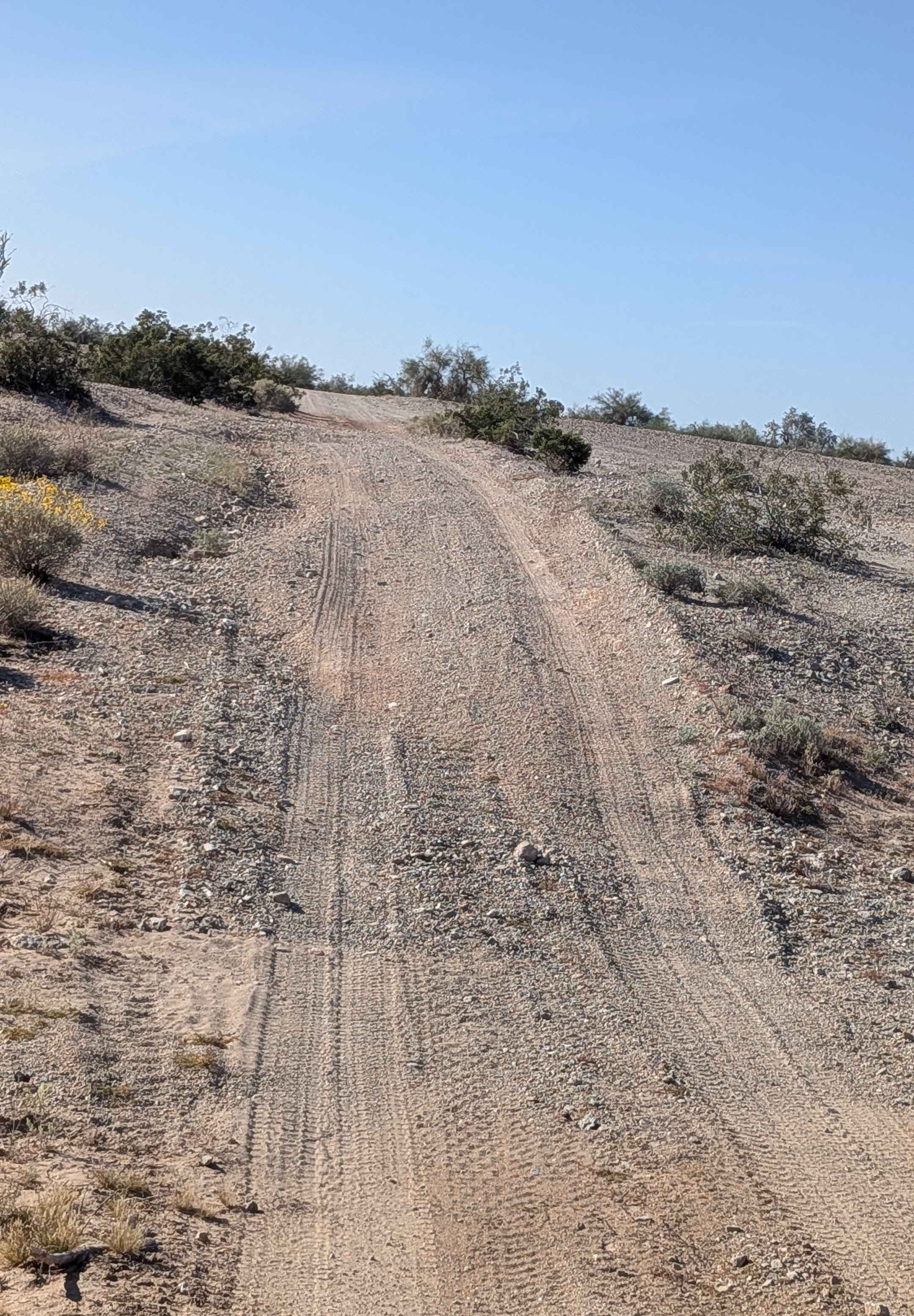
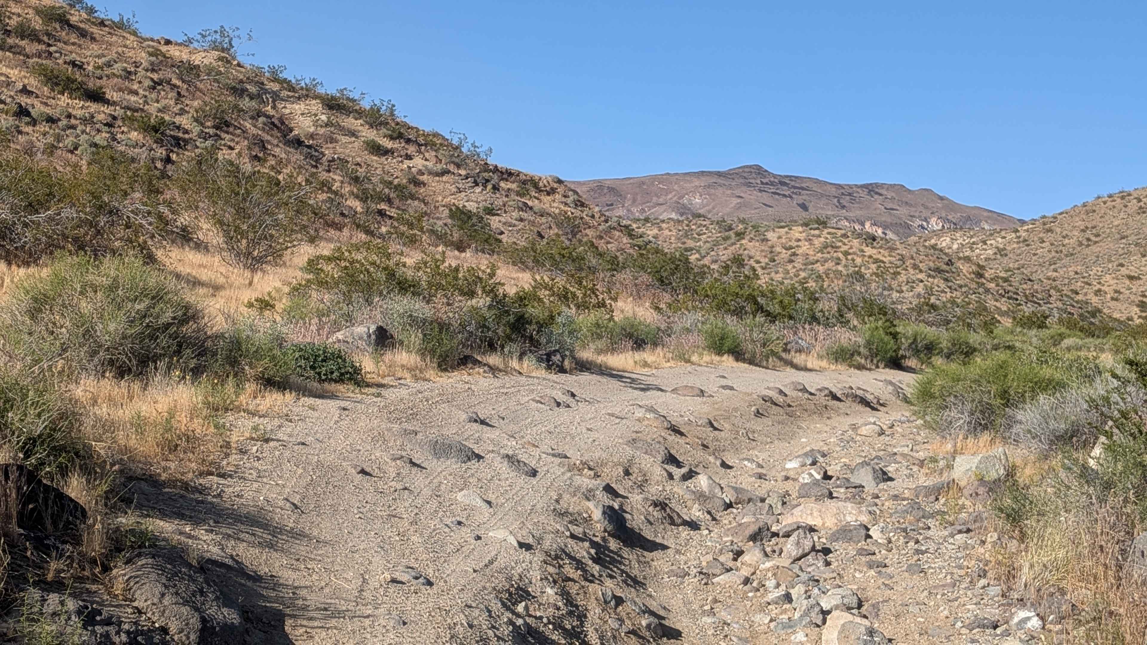
Departing Ogilby Road toward the high-rising Picacho Peak Wilderness mountains, this route navigates terrain lined with many small rocks and scattered vegetation, including ocotillo, desert brush, and grasses. Off-camber sections, ruts, and drops into various washes ranging in depth, all under 12 inches, create rhythmic challenges throughout. The trail no longer connects to BLM 671 on the north side due to a closure and locked gate protecting the Tumco Historical Townsite, forcing this route to end prematurely compared to the former route.
Photos of BLM 668

Difficulty
The sections of off-camber, ruts, and wash drops all under 12 inches create manageable obstacles that accumulate over distance without serious individual challenges. High clearance helps navigate the varied terrain comfortably. The locked gate at Tumco Historical Townsite means no through access to BLM 671, so plan accordingly rather than expecting the old connection. Overall, straightforward terrain suitable for most high clearance vehicles, respecting that closure.
Status Reports
BLM 668 can be accessed by the following ride types:
- High-Clearance 4x4
- SUV
- SxS (60")
- ATV (50")
- Dirt Bike
BLM 668 Map
Popular Trails
Dove Springs Access Trail
The onX Offroad Difference
onX Offroad combines trail photos, descriptions, difficulty ratings, width restrictions, seasonality, and more in a user-friendly interface. Available on all devices, with offline access and full compatibility with CarPlay and Android Auto. Discover what you’re missing today!