BLM 618
Total Miles
2.6
Technical Rating
Best Time
Winter, Spring, Fall
Trail Type
Full-Width Road
Accessible By
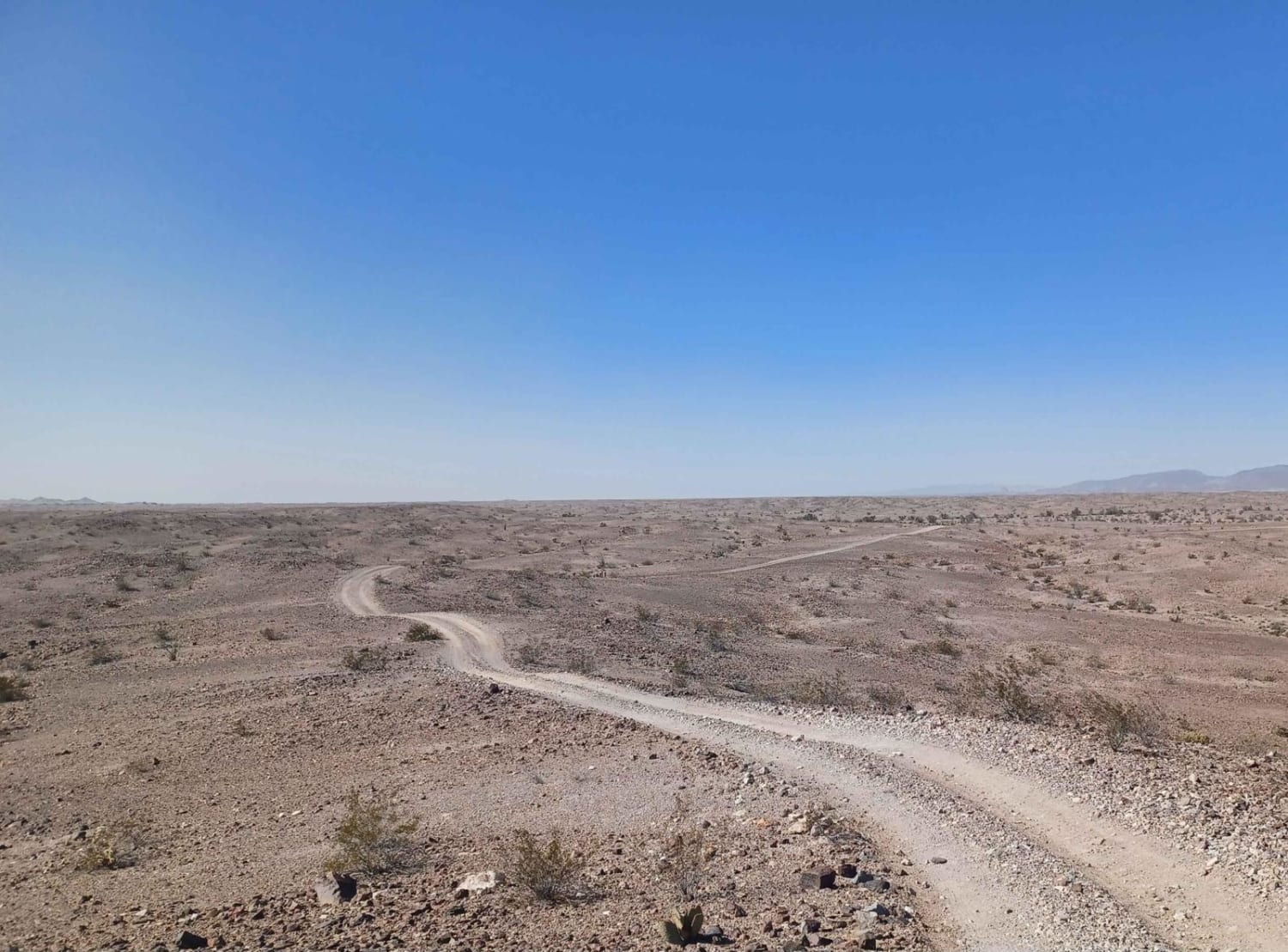
Trail Overview
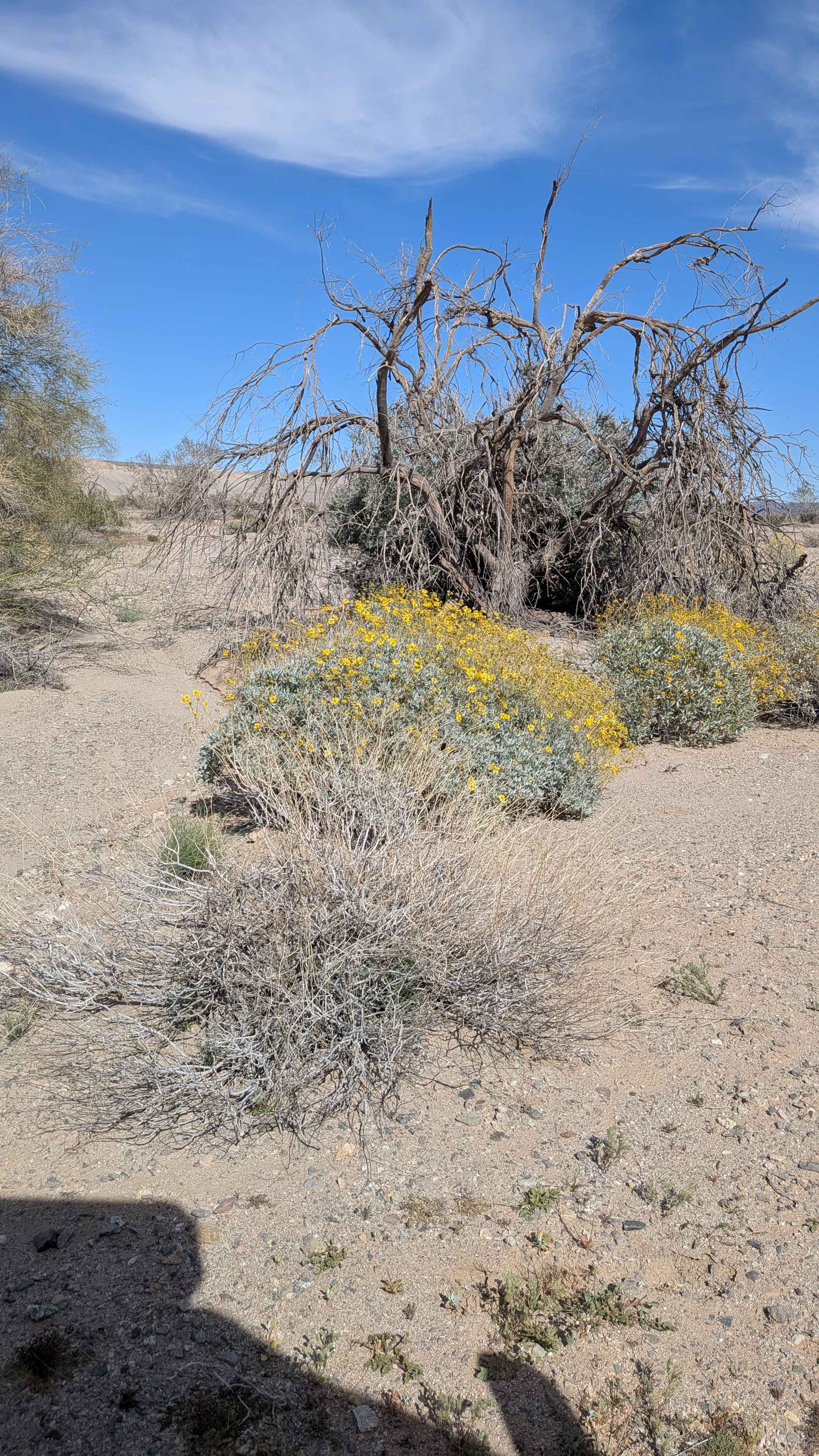
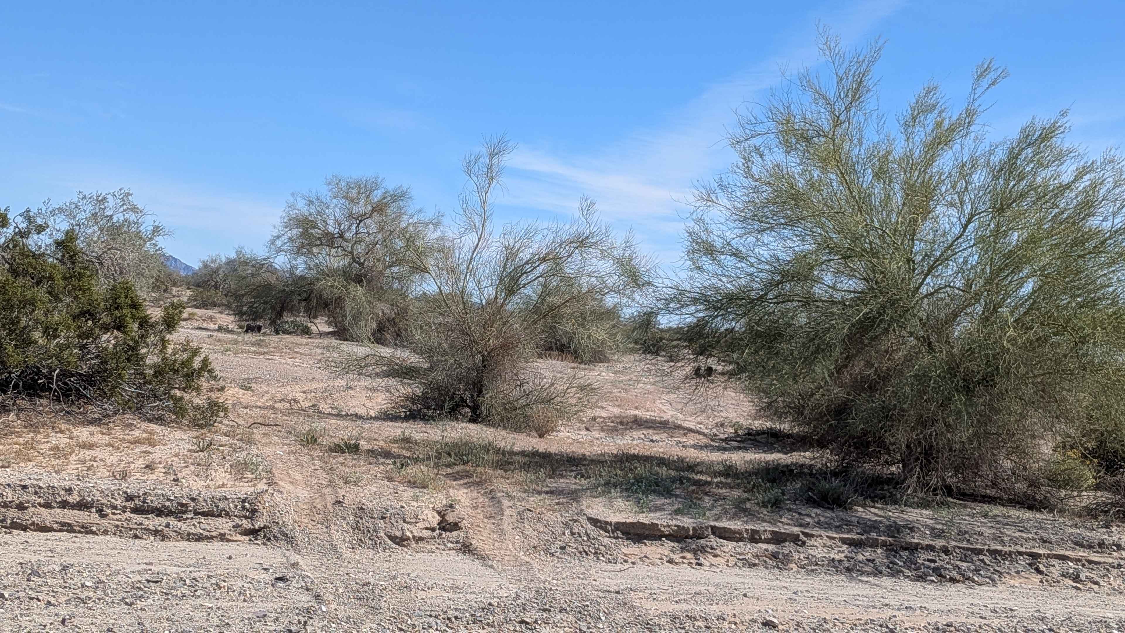
Running from Highway 78 and BLM 617 on the west to the intersection of BLM 541 and BLM 629 near the Western Mesquite Mines Complex, this one to two-vehicle wide sand and gravel route offers fairly smooth travel between its numerous obstacles. Various desert trees and bushes crowd the edges with seasonal blooming wildflowers, adding splashes of color. The Chocolate Mountains command the northern horizon while the Imperial Sand Dunes spread across the southern view. Runoff washes cross your path repeatedly with steps reaching up to 12 inches. Overgrown trees force you to pick careful lines, maneuvering around or threading through their branches. This is limited use territory in the Imperial Sand Dunes Recreation Area, so established trails only.
Photos of BLM 618
Difficulty
The numerous wash crossings with steps up to 12 inches add up over the distance, demanding consistent clearance and attention. Those overgrown trees create pinstriping hazards and tight navigation in spots. The fairly smooth surface between obstacles helps, but the combination of wash steps and vegetation obstacles earns the rating. High clearance and four wheel drive handle it well, though paint protection wouldn't hurt.
Status Reports
BLM 618 can be accessed by the following ride types:
- High-Clearance 4x4
- SUV
- SxS (60")
- ATV (50")
- Dirt Bike
BLM 618 Map
Popular Trails
American Camp Lookout

Forest Service Road 1N11
The onX Offroad Difference
onX Offroad combines trail photos, descriptions, difficulty ratings, width restrictions, seasonality, and more in a user-friendly interface. Available on all devices, with offline access and full compatibility with CarPlay and Android Auto. Discover what you’re missing today!