Forest Service Road 1N11
Total Miles
4.2
Technical Rating
Best Time
Summer, Fall
Trail Type
Full-Width Road
Accessible By
Trail Overview
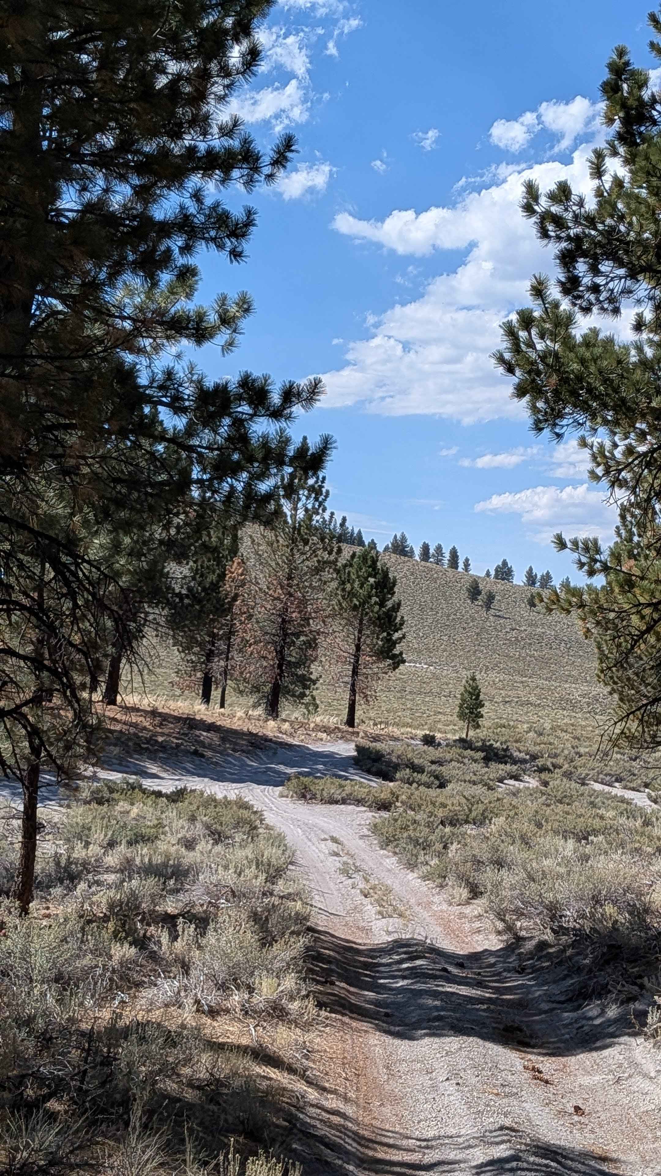
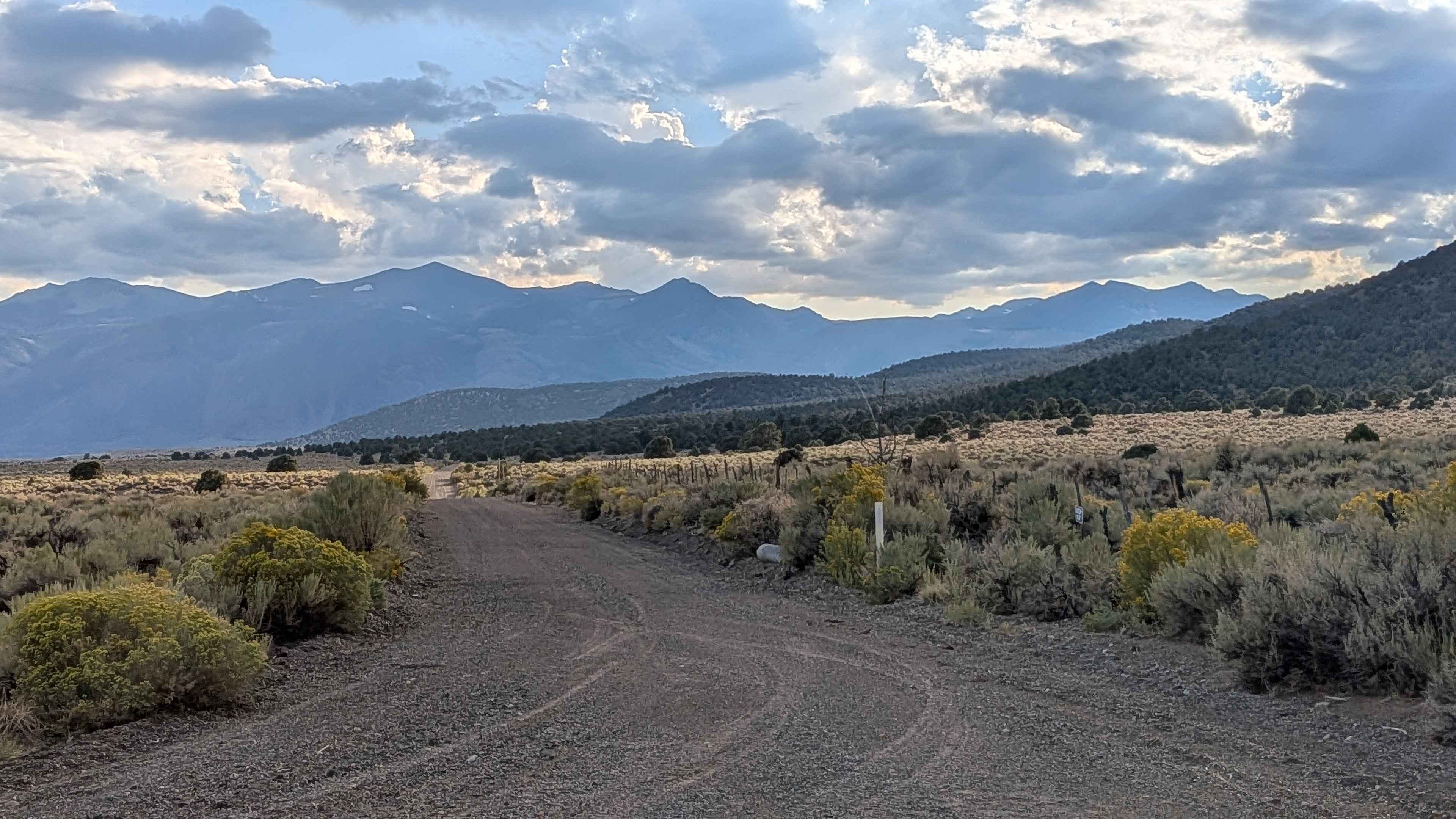
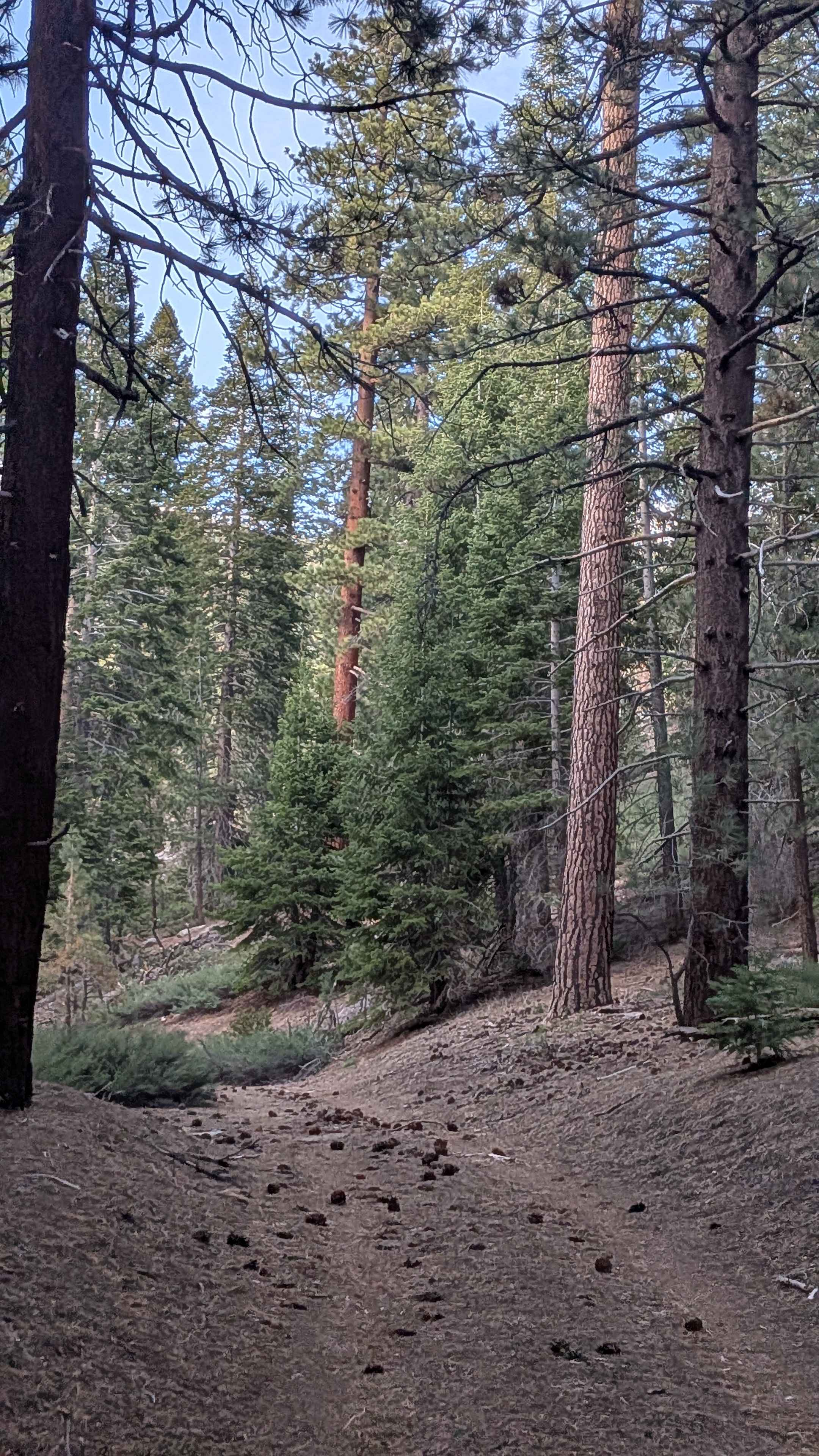
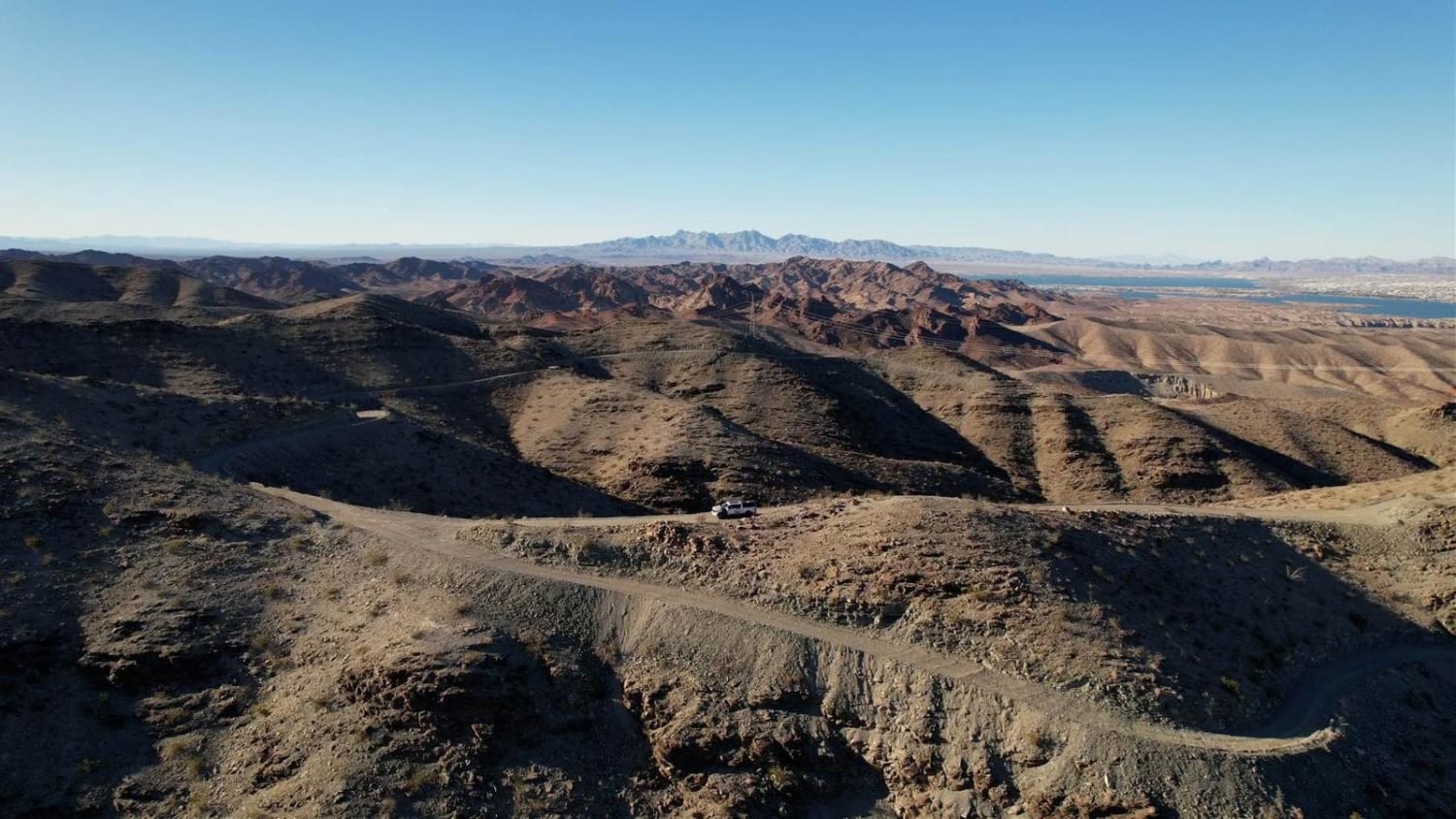
This scenic descent drops almost 700 feet over just under 6 miles, offering spectacular views and diverse terrain. Starting from the south in a sparse pine forest, the route quickly opens to a huge meadow surrounded by beautiful hills, valleys, and mountains. The trail provides stunning views of the Eastern Sierras, Mono Lake, and Crater Mountain, with meadows featuring beautiful wildflowers throughout the journey.
Photos of Forest Service Road 1N11

Difficulty
This trail earns a low difficulty rating despite its challenging surface conditions. The trail features very sandy terrain that is deep in some spots, requiring 4x4 capability and good tires. Heavy SXS use has created whoops, ruts, and washboards throughout, making for a very bumpy ride. Airing down is highly recommended for better traction and comfort in the sandy conditions.
Status Reports
Forest Service Road 1N11 can be accessed by the following ride types:
- High-Clearance 4x4
- SUV
- SxS (60")
- ATV (50")
- Dirt Bike
Forest Service Road 1N11 Map
Popular Trails
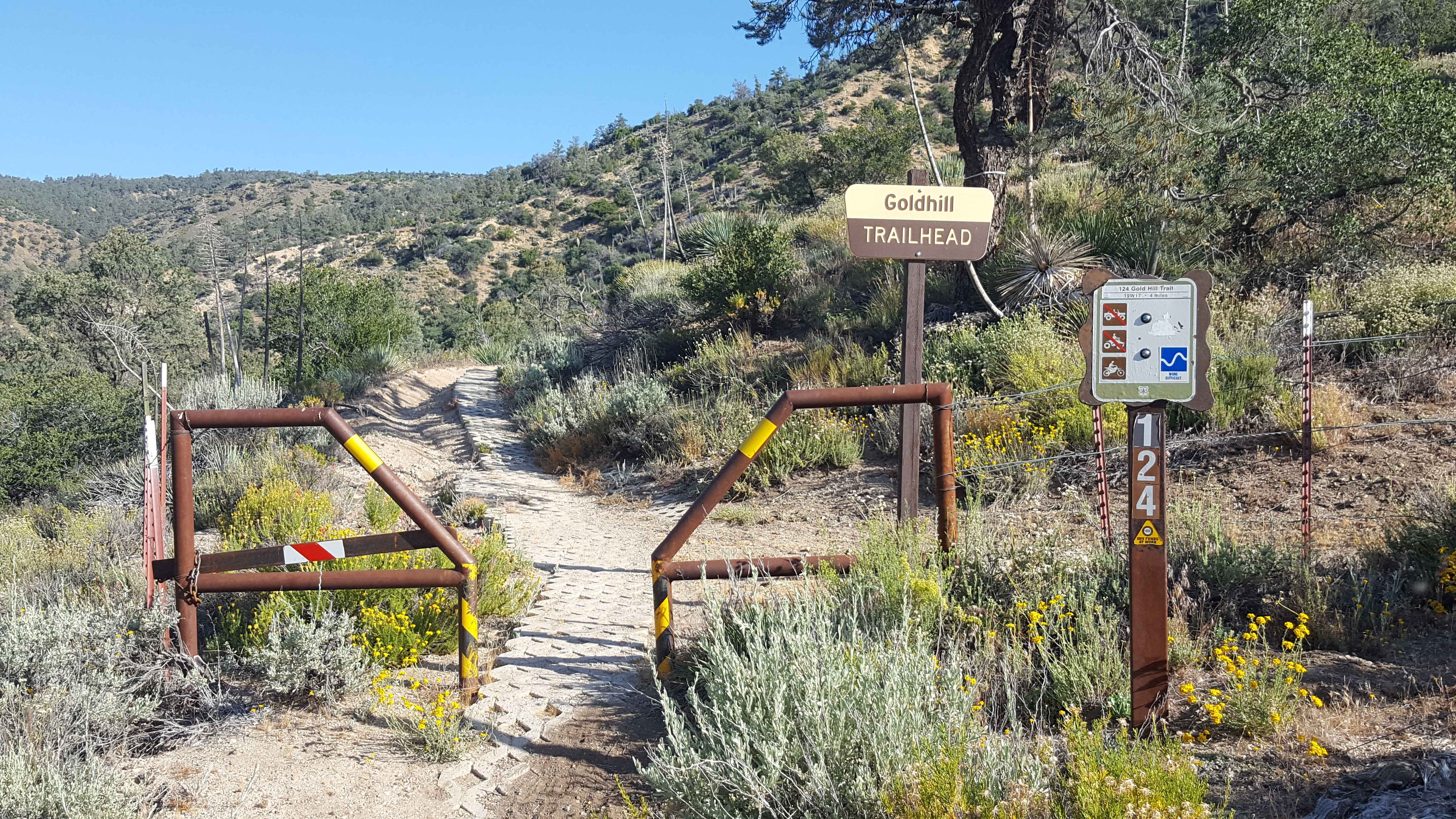
Gold Hill OHV - 19W17
Goat Ranch Cutoff
Horse Meadow Spur - FS 23S10A
Hightower Trail
The onX Offroad Difference
onX Offroad combines trail photos, descriptions, difficulty ratings, width restrictions, seasonality, and more in a user-friendly interface. Available on all devices, with offline access and full compatibility with CarPlay and Android Auto. Discover what you’re missing today!