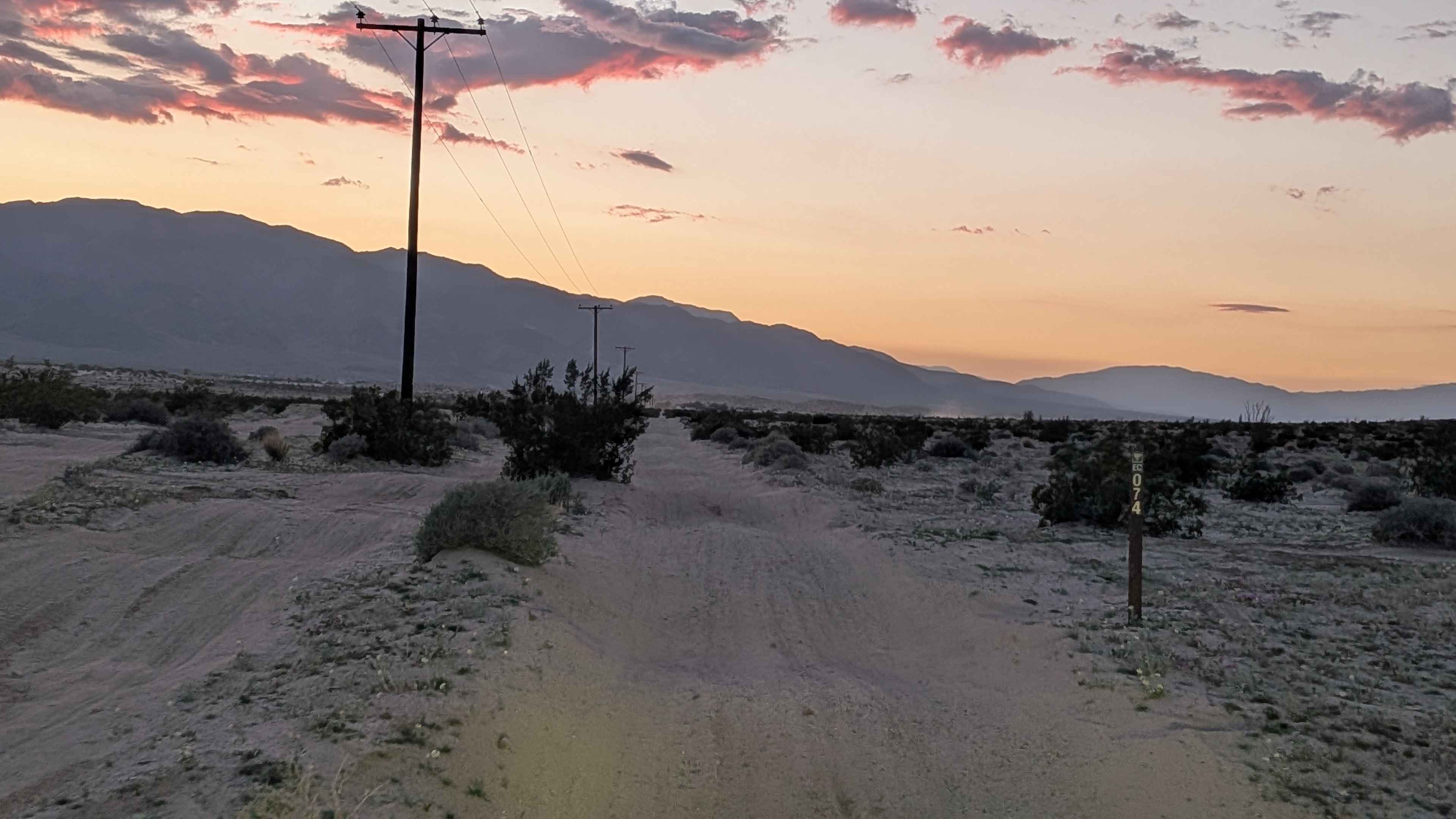
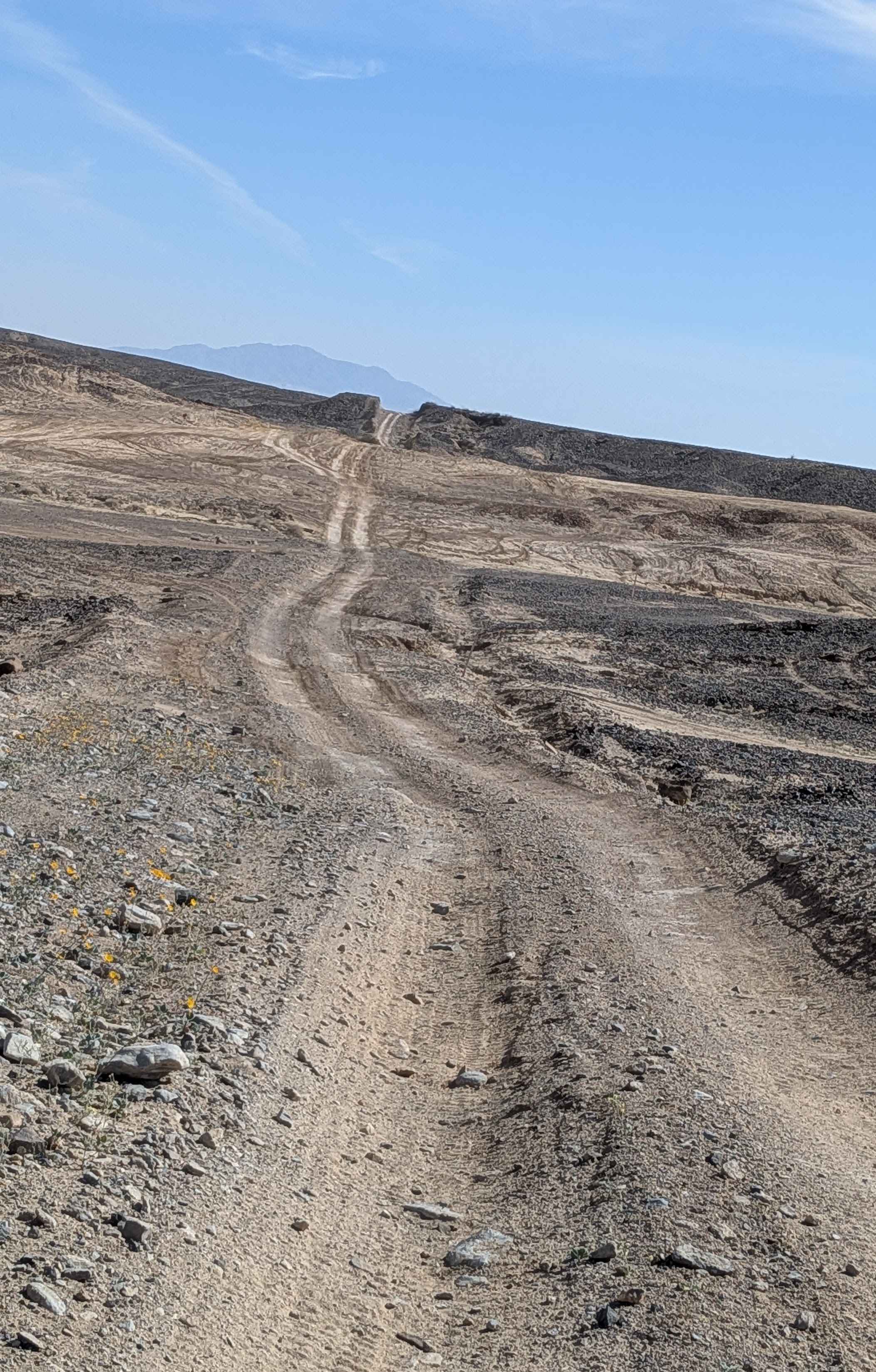
Off-Road Trails in California
Discover off-road trails in California
Learn more about Black Diamond - FS 18N30
Black Diamond - FS 18N30
Total Miles
1.6
Tech Rating
Easy
Best Time
Spring, Summer, Fall
Learn more about Black Gulch Jeep Trail
Black Gulch Jeep Trail
Total Miles
8.2
Tech Rating
Moderate
Best Time
Spring, Summer, Fall
Learn more about Black Mountain - FS 32E360
Black Mountain - FS 32E360
Total Miles
0.7
Tech Rating
Easy
Best Time
Fall, Summer, Spring
Learn more about Black Mountain Road
Black Mountain Road
Total Miles
5.3
Tech Rating
Easy
Best Time
Spring, Summer, Fall, Winter
Learn more about Black Mountain Saddle - FS 32E59
Black Mountain Saddle - FS 32E59
Total Miles
1.4
Tech Rating
Easy
Best Time
Fall, Summer, Spring
Learn more about Black Mountain Wilderness Route
Black Mountain Wilderness Route
Total Miles
42.3
Tech Rating
Easy
Best Time
Spring, Summer, Fall, Winter
Learn more about Black Point - FS 2N42
Black Point - FS 2N42
Total Miles
2.7
Tech Rating
Easy
Best Time
Summer, Fall, Spring
Learn more about Black Rock Canyon Trail
Black Rock Canyon Trail
Total Miles
1.8
Tech Rating
Moderate
Best Time
Spring, Fall, Winter
Learn more about Blair Valley Loop
Blair Valley Loop
Total Miles
7.9
Tech Rating
Easy
Best Time
Spring, Summer, Fall, Winter
Learn more about Blair Valley Pictographs
Blair Valley Pictographs
Total Miles
1.4
Tech Rating
Easy
Best Time
Spring, Summer, Fall, Winter
Learn more about BLM 075 East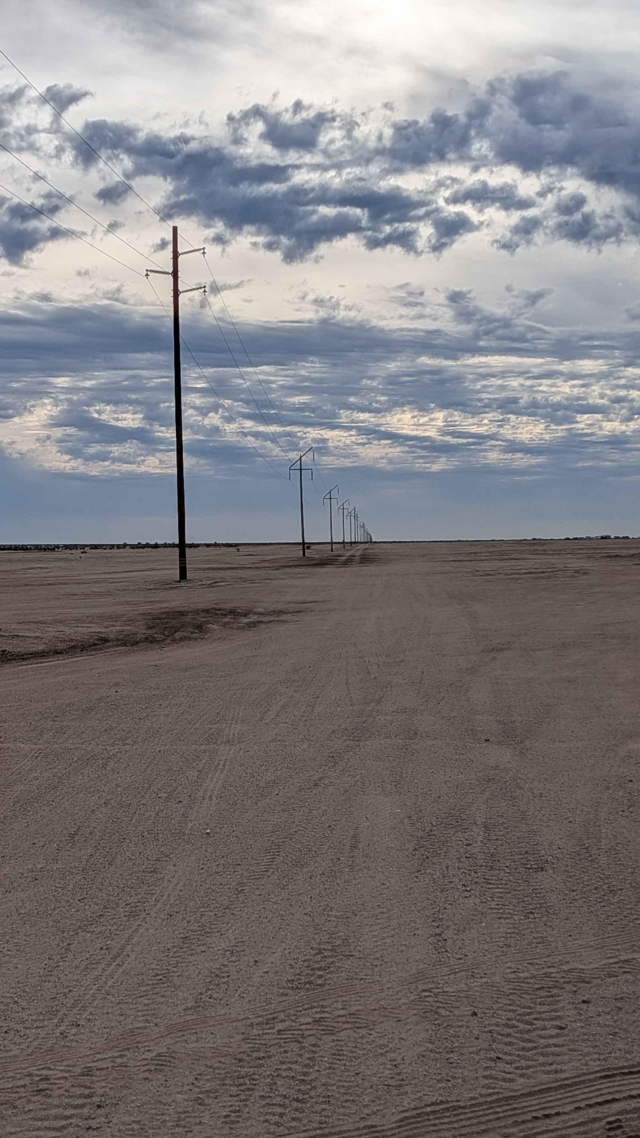
BLM 075 East
Total Miles
11.2
Tech Rating
Easy
Best Time
Winter, Fall, Spring
Learn more about BLM 078 North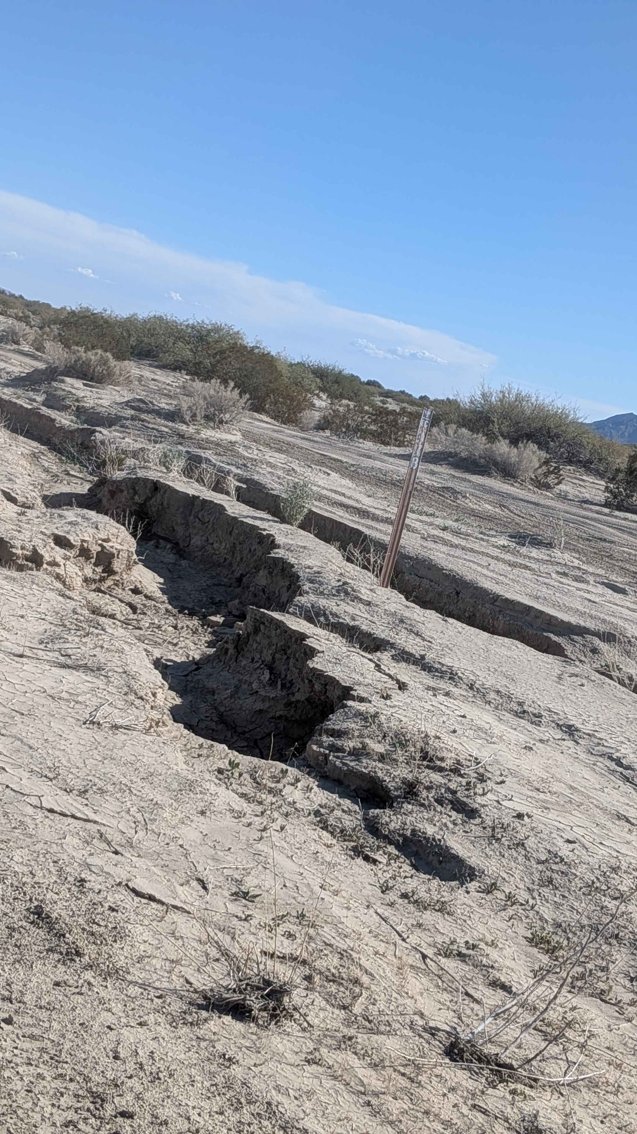
BLM 078 North
Total Miles
5.5
Tech Rating
Moderate
Best Time
Winter, Fall, Spring
Learn more about BLM 085 South
BLM 085 South
Total Miles
5.7
Tech Rating
Easy
Best Time
Winter, Fall, Spring

ATV trails in California


UTV/side-by-side trails in California


Learn more about 3N267 Fenner Saddle (4N12)
3N267 Fenner Saddle (4N12)
Total Miles
3.8
Tech Rating
Difficult
Best Time
Spring, Summer, Fall, Winter

The onX Offroad Difference
onX Offroad combines trail photos, descriptions, difficulty ratings, width restrictions, seasonality, and more in a user-friendly interface. Available on all devices, with offline access and full compatibility with CarPlay and Android Auto. Discover what you’re missing today!