Blair Valley Pictographs
Total Miles
1.4
Technical Rating
Best Time
Spring, Summer, Fall, Winter
Trail Type
Full-Width Road
Accessible By
Trail Overview
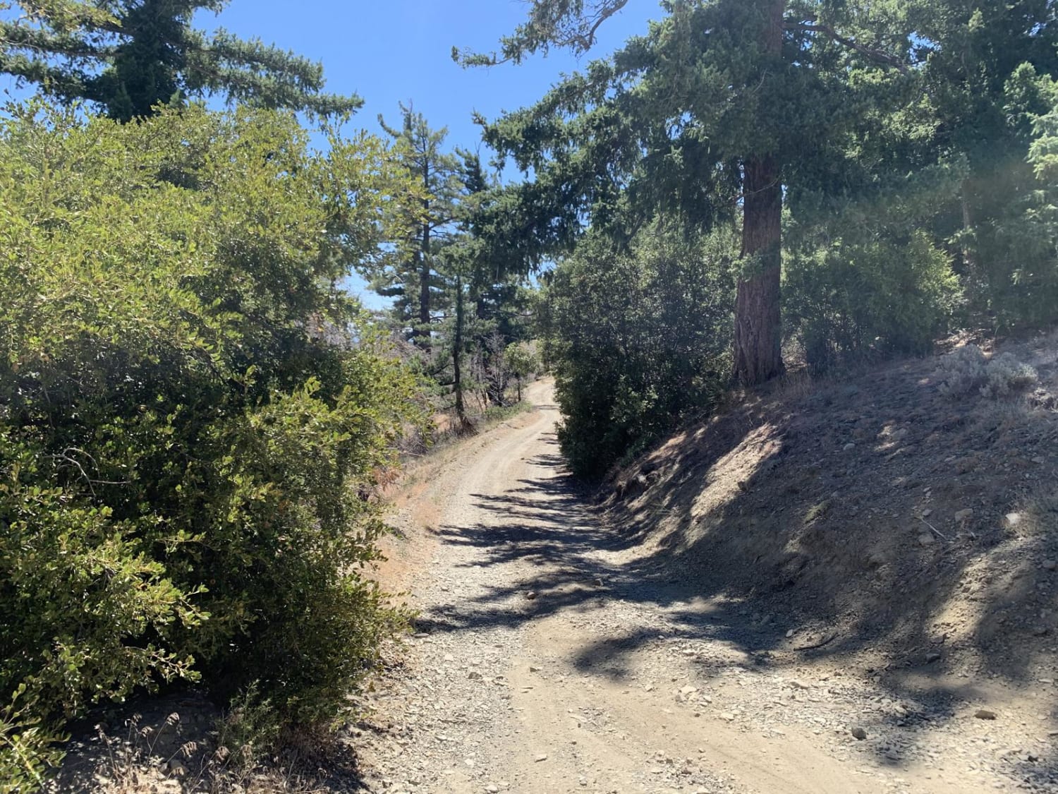
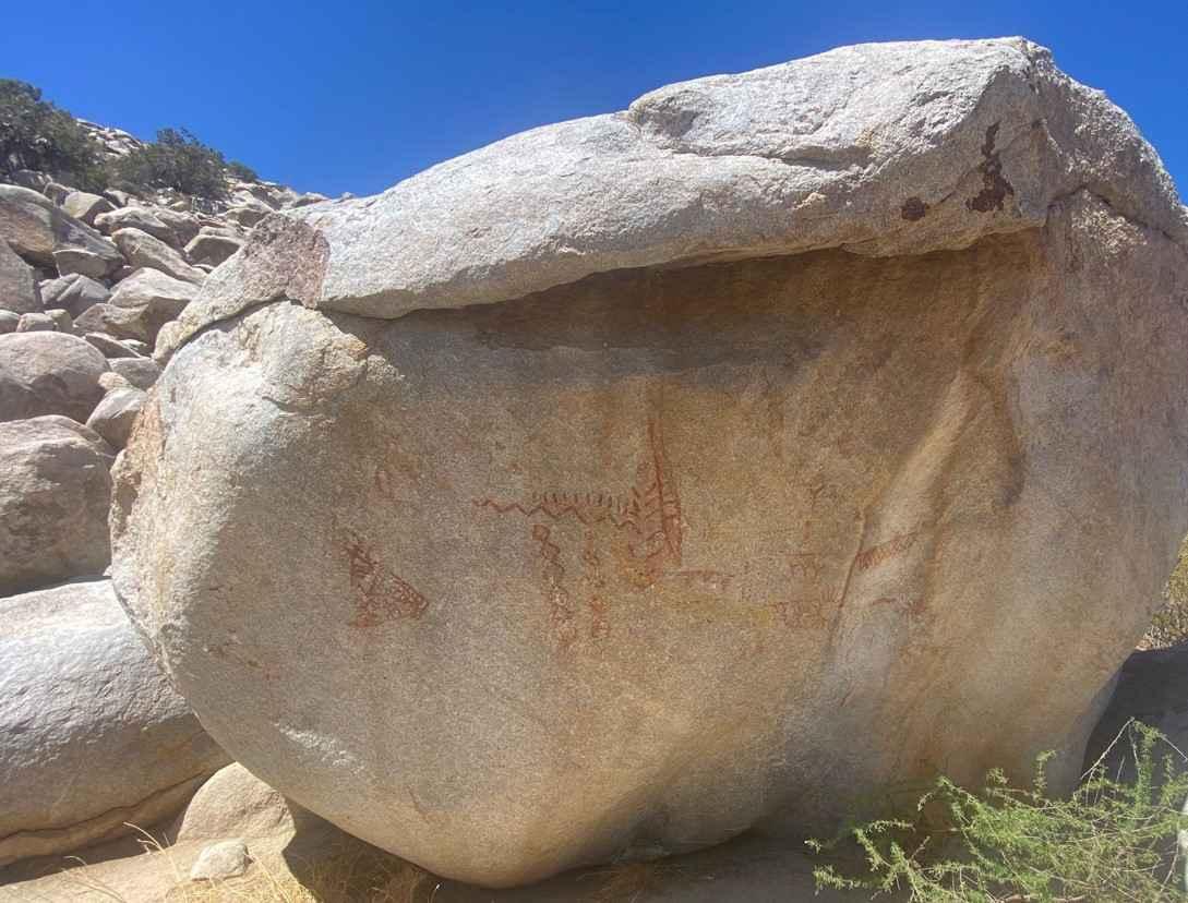
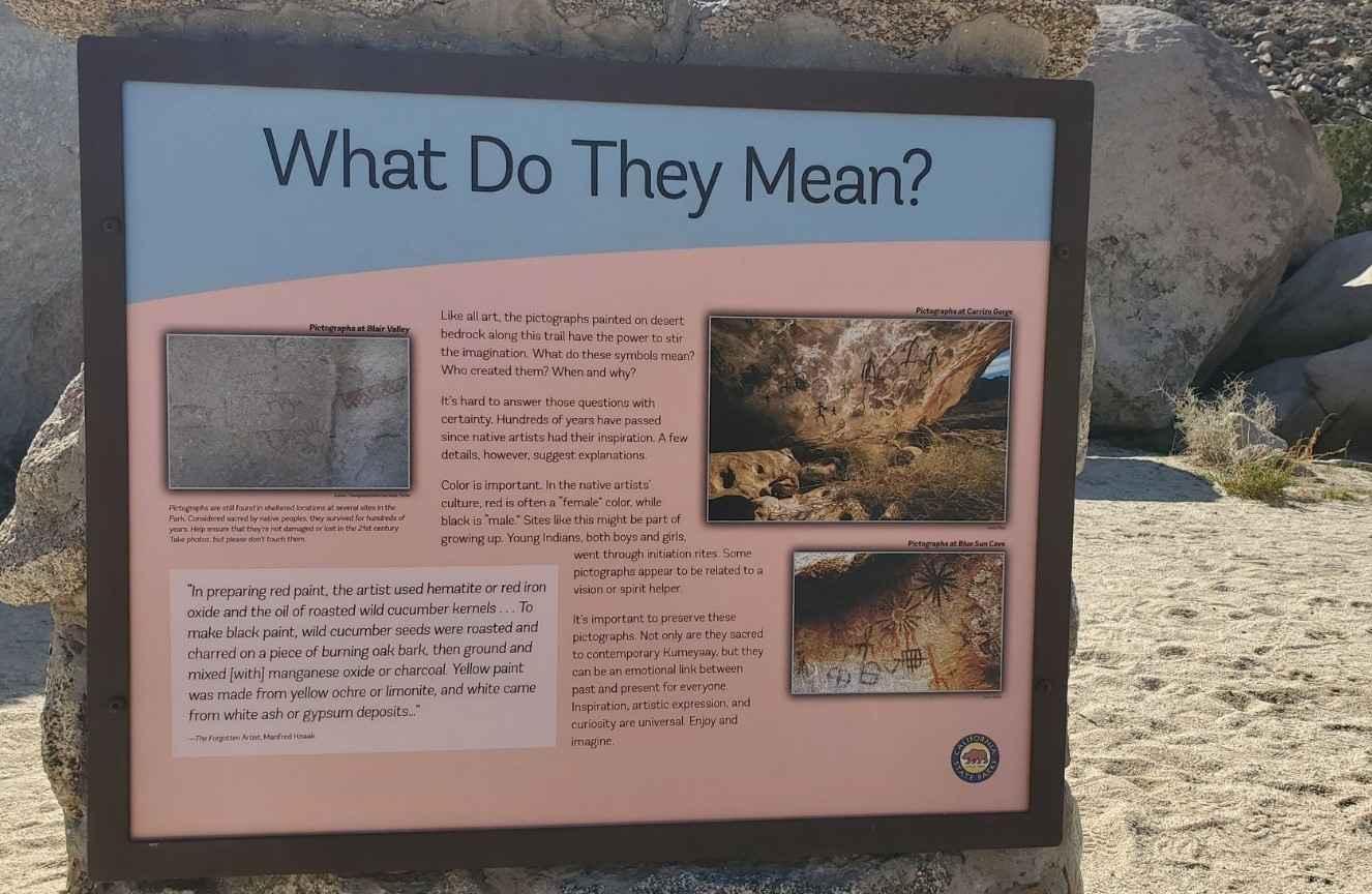
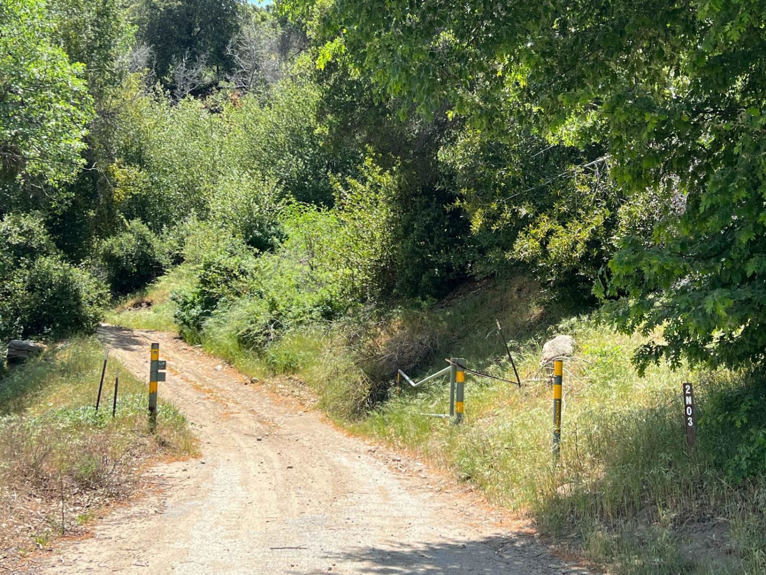
Blair Valley Pictographs is a 2.8-mile out-and-back trail rated 3 out of 10 within the California Anza-Borrego Desert State Park. This short dirt track ends at a small parking area and trailhead. A BLM informational sign is located here providing information about the location of the pictograph rock. An easy hike down the wash leads to this site. The road winds through sections of hard pack and sand washes. The road is maintained on a semi-regular basis. Although it is accessible by most 2WD vehicles, conditions may vary. Cell phone service at best is intermittent and the nearest services are located in Borrego Springs.
Photos of Blair Valley Pictographs
Difficulty
The trail consists of loose rocks, dirt, and sand with some slick rock surfaces and mud holes possible. No steps are higher than 12 inches. 4WD may be required, and aggressive tires are a plus.
History
History of Blair Valley: The Indian village on the Morteros Trail was seasonally occupied by the Kumeyaay Indian Tribe for nearly 1,000 years. Morteros, the grinding holes dug out in the boulders, were made by the women as they crushed seeds for their meals. Marshall South and his family lived on Ghost Mountain for 16 years in the 1930s and 40s. The home is made of adobe and they called it Yaquitepec. Marshall was a writer and poet who supported his family by writing monthly articles about what it was like living on Ghost Mountain for Desert Magazine. In 1947, his wife divorced him and the family left the homestead.
Status Reports
Blair Valley Pictographs can be accessed by the following ride types:
- High-Clearance 4x4
- SUV
Blair Valley Pictographs Map
Popular Trails

Gobblers Knob Spur A

Oyster Shell Wash

Blair Valley Pictographs
The onX Offroad Difference
onX Offroad combines trail photos, descriptions, difficulty ratings, width restrictions, seasonality, and more in a user-friendly interface. Available on all devices, with offline access and full compatibility with CarPlay and Android Auto. Discover what you’re missing today!

