Off-Road Trails in California
Discover off-road trails in California
Learn more about Big Hill Lookout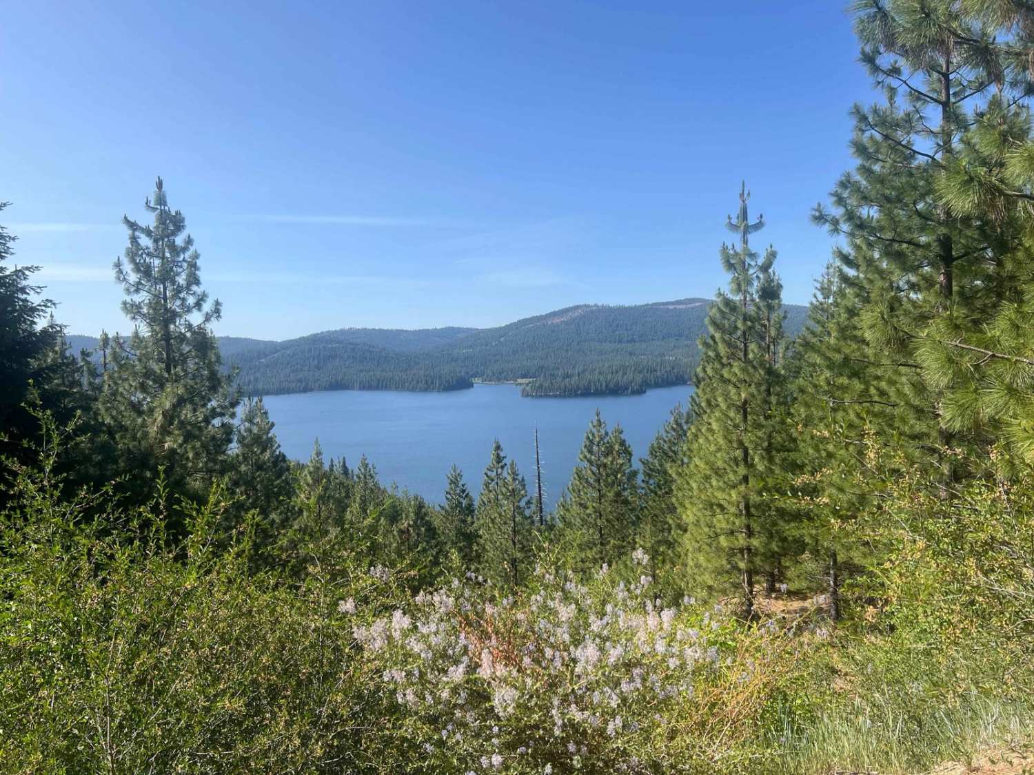
Big Hill Lookout
Total Miles
7.4
Tech Rating
Easy
Best Time
Spring, Summer, Fall
Learn more about Big Johnson
Big Johnson
Total Miles
0.8
Tech Rating
Moderate
Best Time
Spring, Fall, Winter
Learn more about Big Meadow - FS 23S07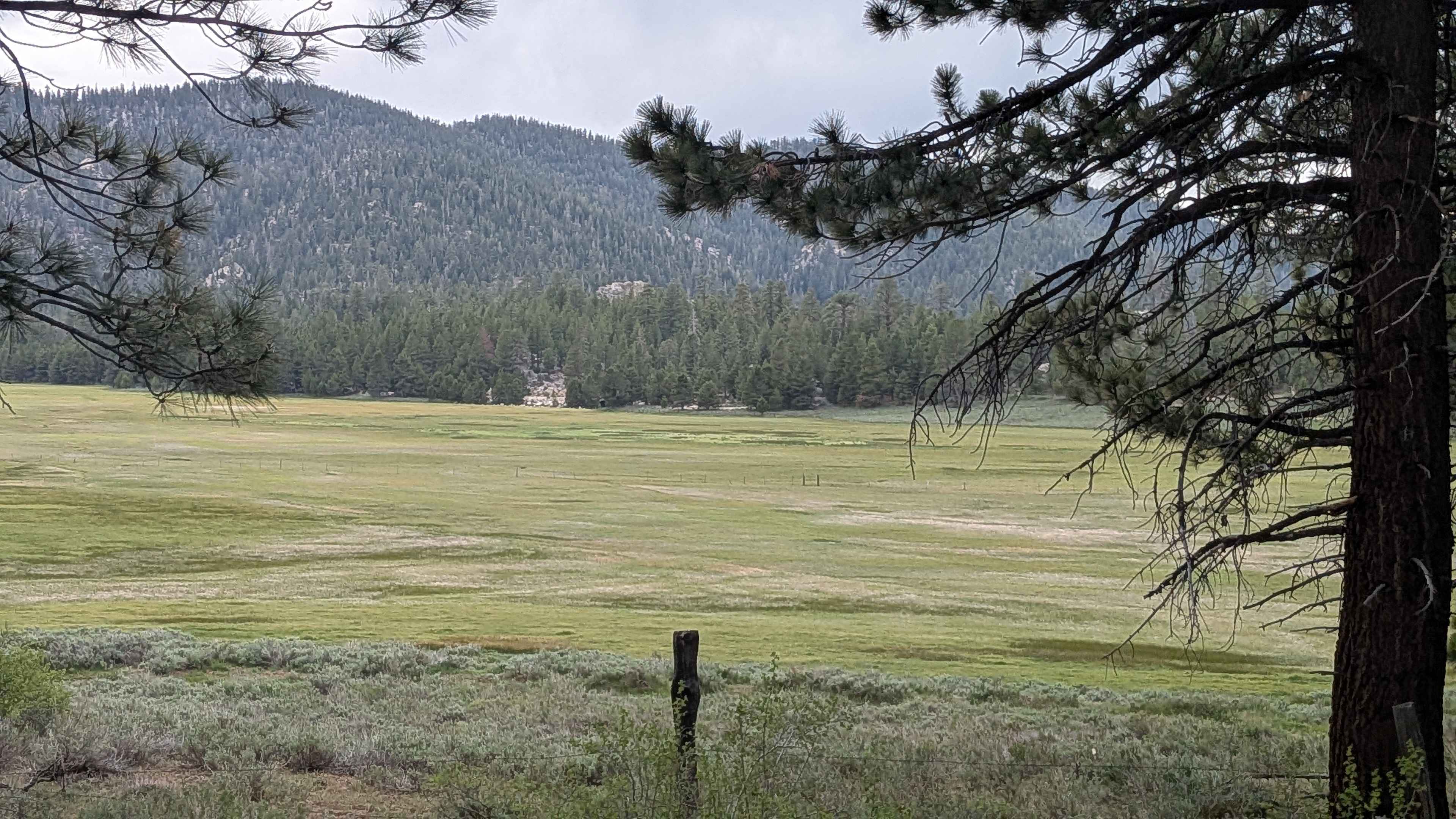
Big Meadow - FS 23S07
Total Miles
5.9
Tech Rating
Easy
Best Time
Summer, Fall, Spring
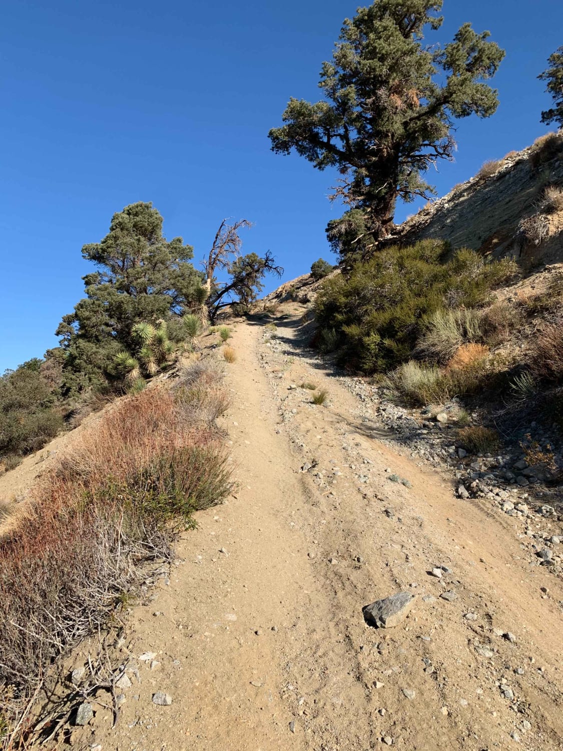
Learn more about Big Pine to Silver Canyon 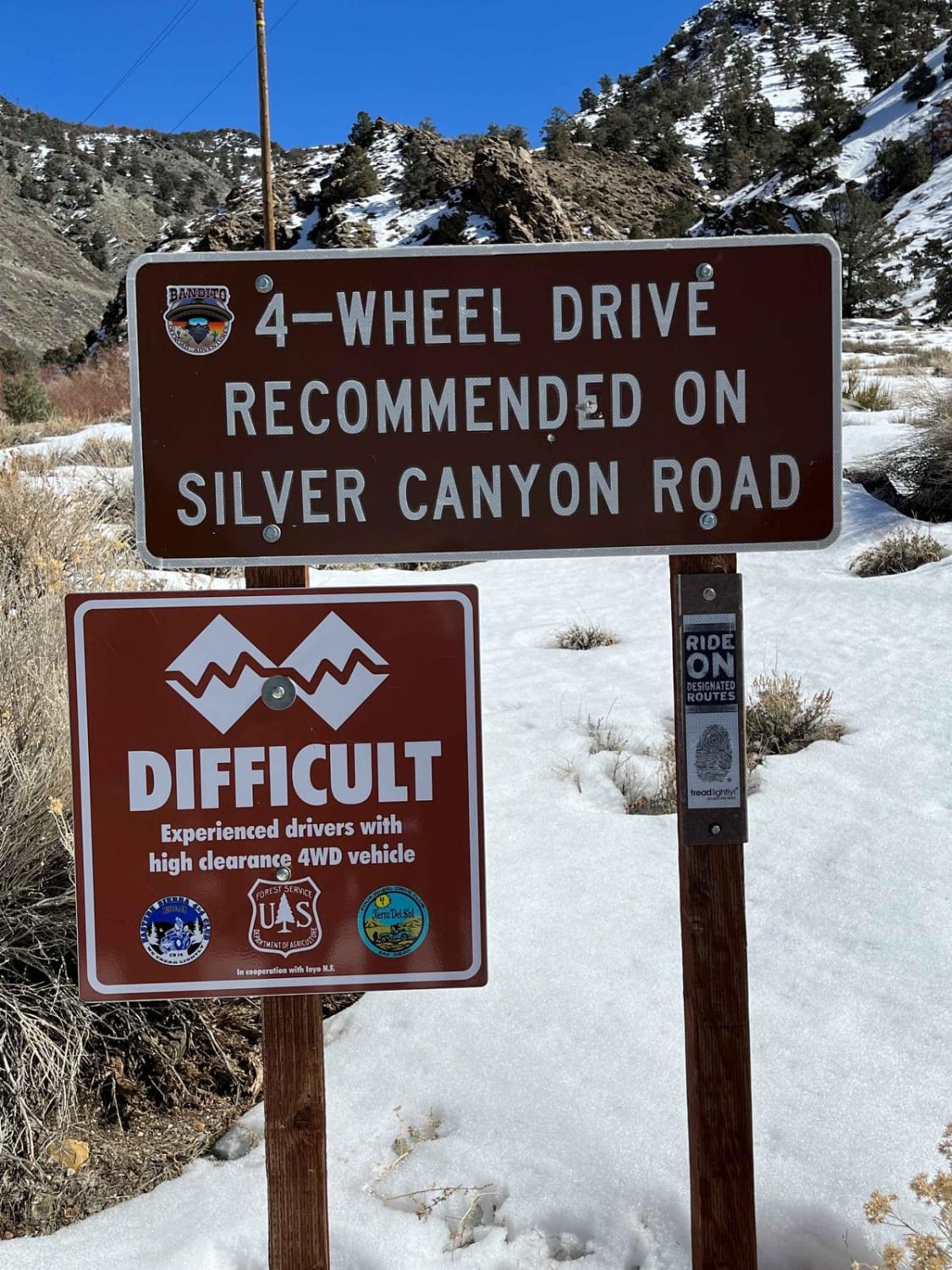
Big Pine to Silver Canyon
Total Miles
20.6
Tech Rating
Easy
Best Time
Spring, Summer, Fall
Learn more about Big Sandy - FS 6S007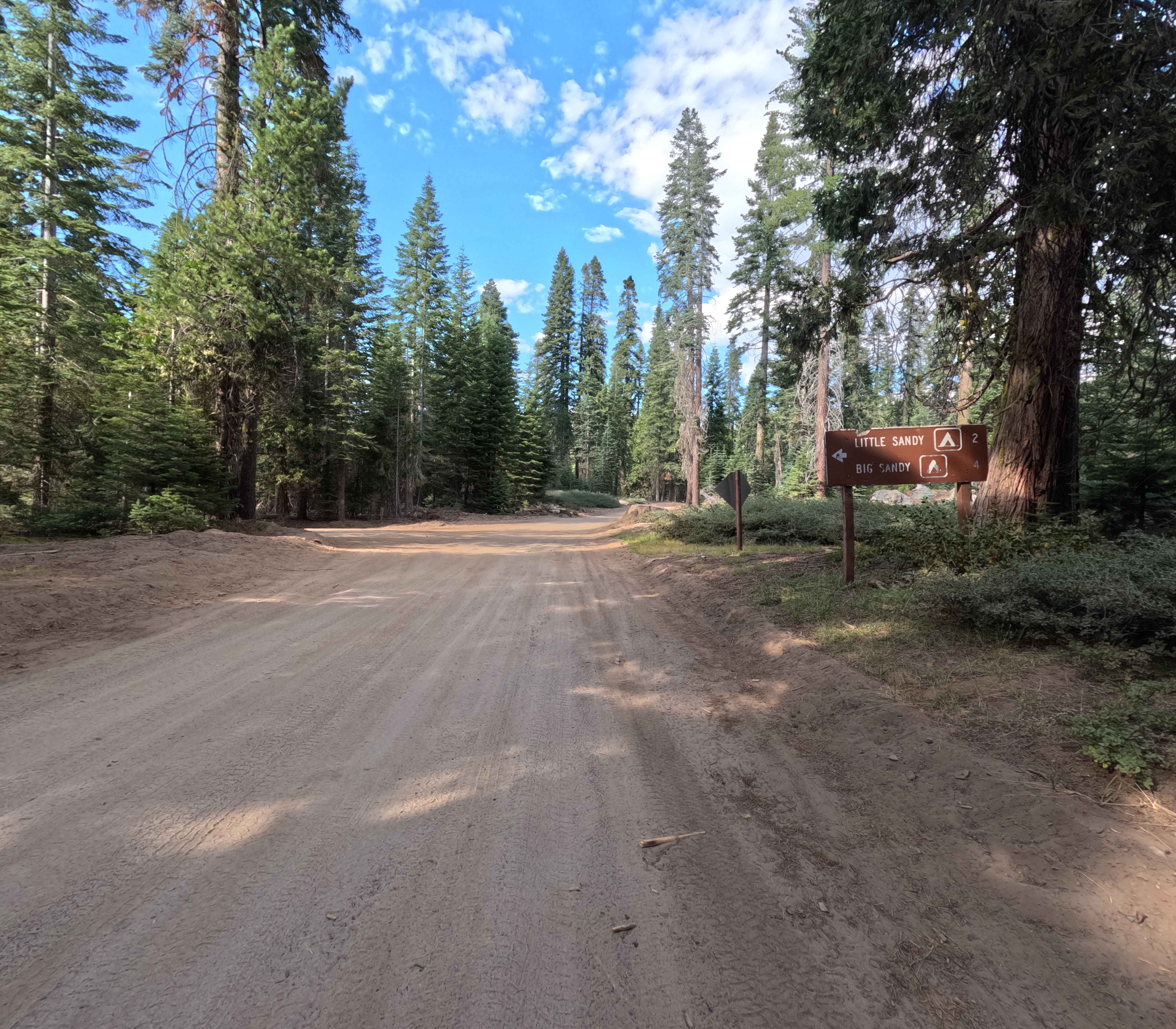
Big Sandy - FS 6S007
Total Miles
7.9
Tech Rating
Easy
Best Time
Summer, Fall
Learn more about Big Spring Road West - FS 31083
Big Spring Road West - FS 31083
Total Miles
2.6
Tech Rating
Easy
Best Time
Summer, Fall
Learn more about Big Spring Spur Road
Big Spring Spur Road
Total Miles
2.9
Tech Rating
Easy
Best Time
Fall, Summer, Spring
Learn more about Big Springs East
Big Springs East
Total Miles
2.1
Tech Rating
Moderate
Best Time
Summer, Spring, Fall
Learn more about Big Springs Road FS 32E601
Big Springs Road FS 32E601
Total Miles
5.0
Tech Rating
Easy
Best Time
Summer, Fall
Learn more about Big Tree Cucamonga - 1N34
Big Tree Cucamonga - 1N34
Total Miles
12.1
Tech Rating
Easy
Best Time
Fall, Spring, Winter, Summer
Learn more about Big Valley Bluff Lookout Trail
Big Valley Bluff Lookout Trail
Total Miles
1.0
Tech Rating
Easy
Best Time
Summer, Fall
Learn more about Bighorn Connector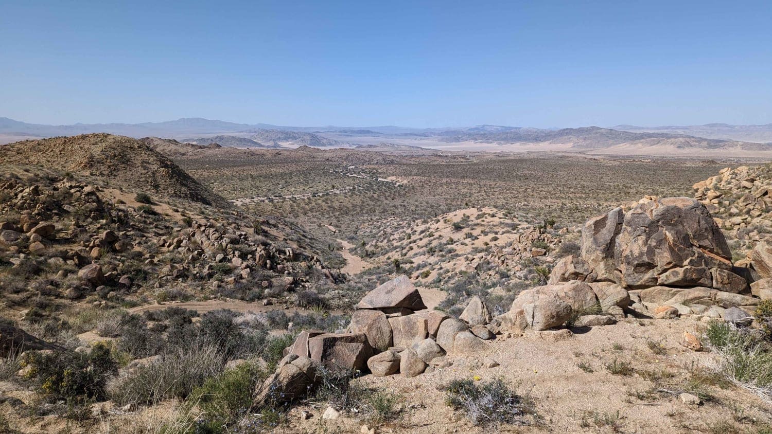
Bighorn Connector
Total Miles
2.2
Tech Rating
Easy
Best Time
Spring, Fall
Learn more about Billy Hill's Stampede
Billy Hill's Stampede
Total Miles
7.5
Tech Rating
Easy
Best Time
Spring, Summer, Fall
Learn more about Bird Spring Canyon Road East BLM 120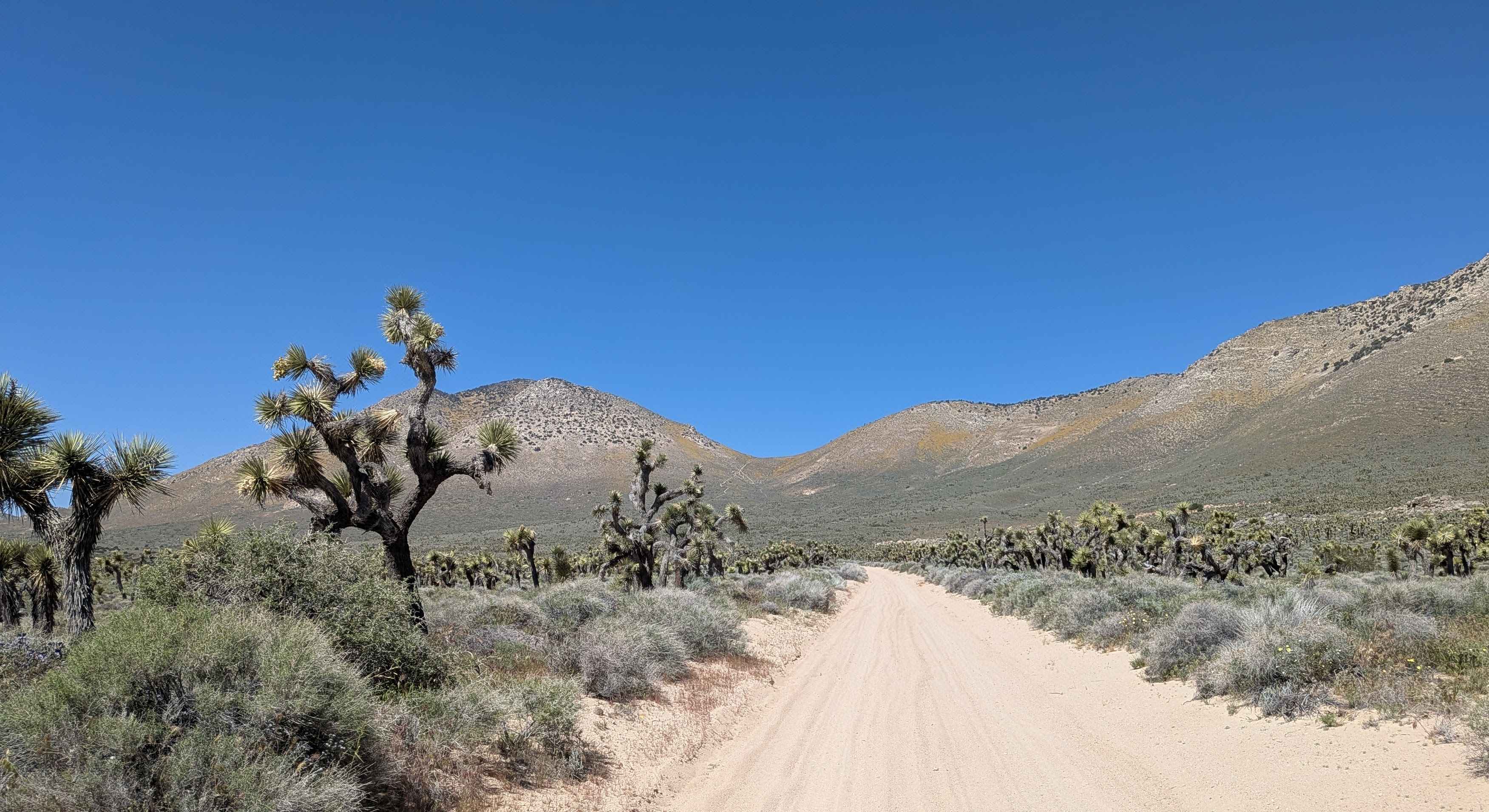
Bird Spring Canyon Road East BLM 120
Total Miles
5.0
Tech Rating
Easy
Best Time
Fall, Summer, Spring
Learn more about Bird Spring Canyon Road West BLM SC120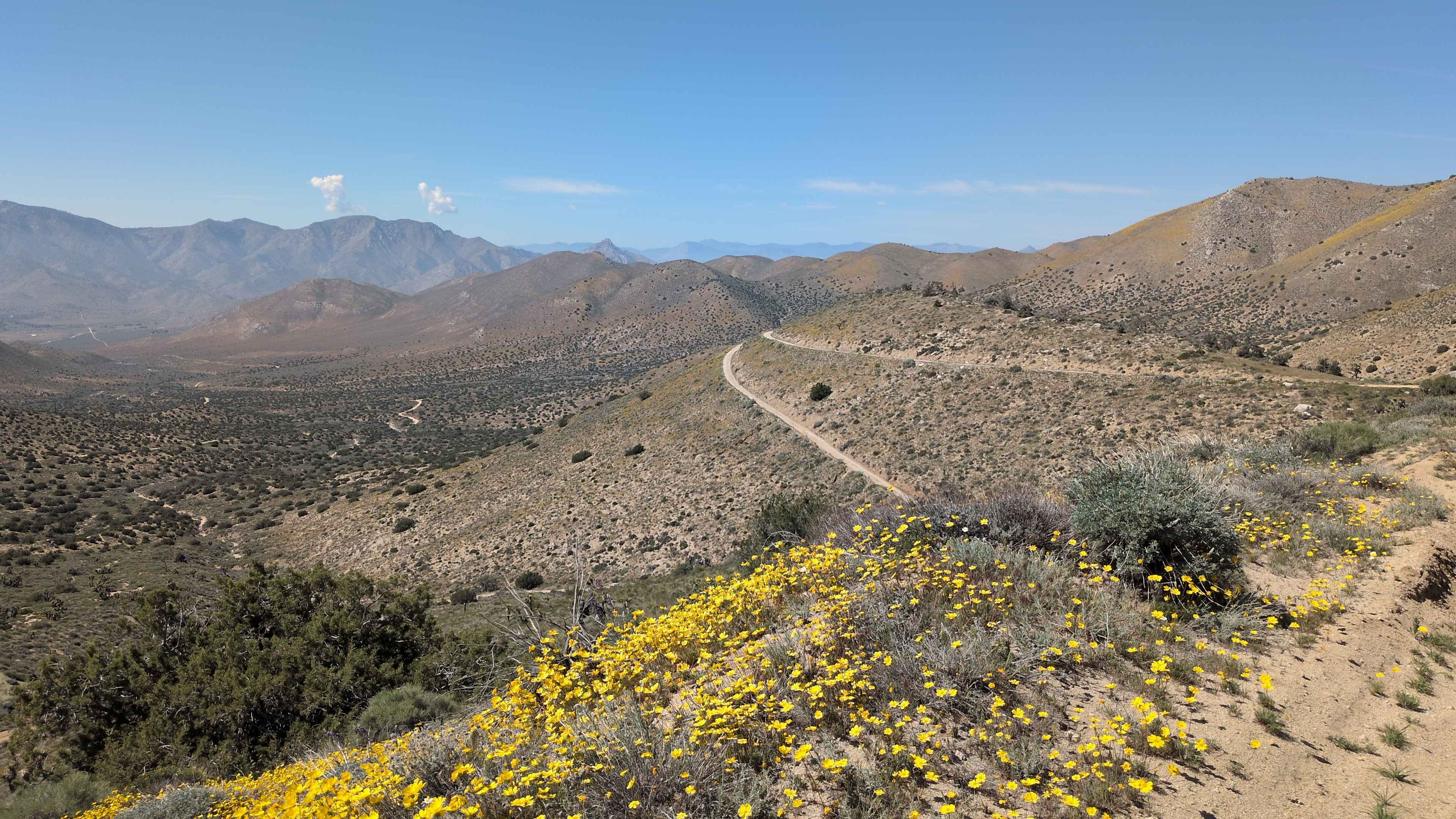
Bird Spring Canyon Road West BLM SC120
Total Miles
5.5
Tech Rating
Easy
Best Time
Summer, Fall, Spring
Learn more about Bishop Tuff Scenic Loop - FS 4S38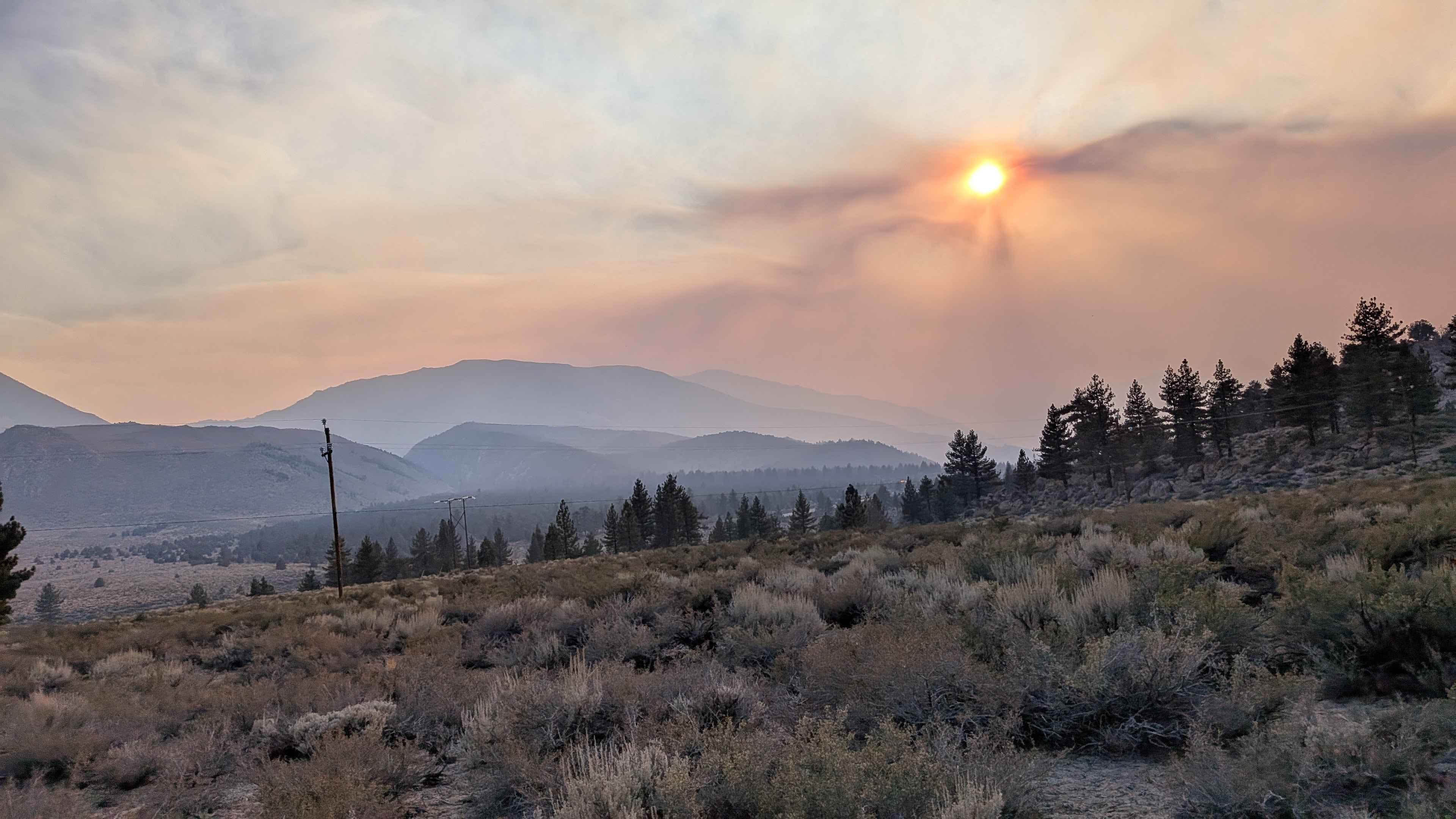
Bishop Tuff Scenic Loop - FS 4S38
Total Miles
4.5
Tech Rating
Easy
Best Time
Fall, Summer, Spring
Learn more about Black Butte Trail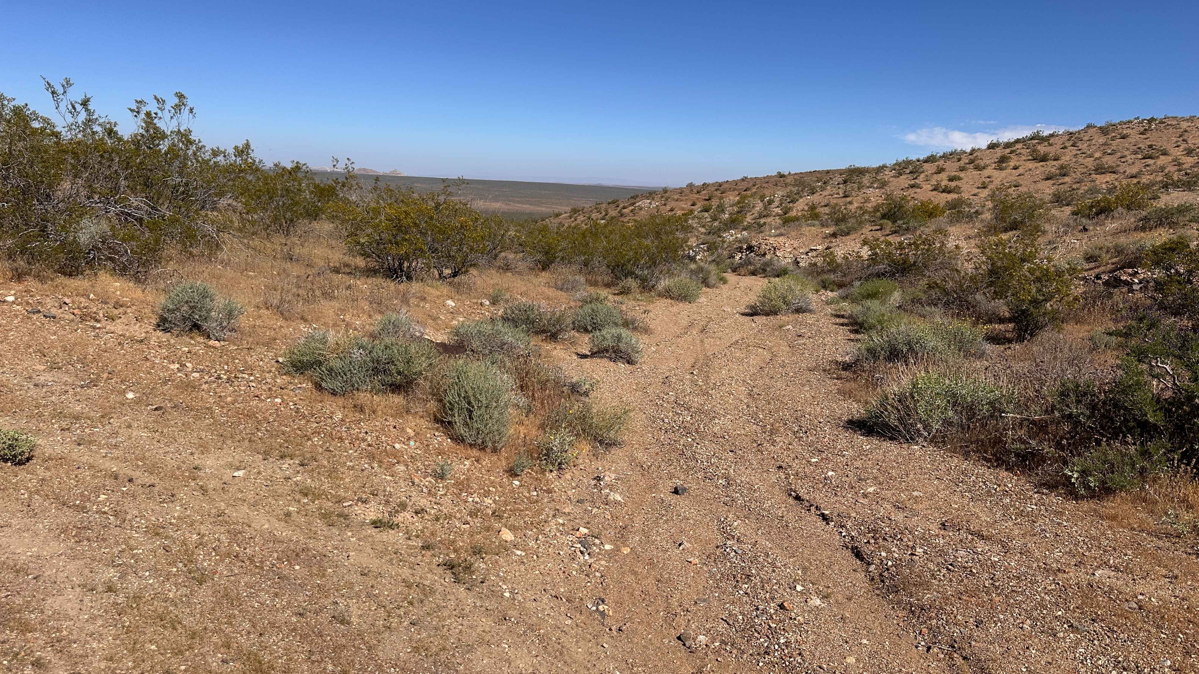
Black Butte Trail
Total Miles
0.6
Tech Rating
Moderate
Best Time
Spring, Summer, Fall, Winter
Learn more about Black Canyon
Black Canyon
Total Miles
2.4
Tech Rating
Moderate
Best Time
Spring, Summer, Fall
Learn more about Black Canyon Rd
Black Canyon Rd
Total Miles
1.8
Tech Rating
Easy
Best Time
Fall, Summer, Spring, Winter
ATV trails in California


UTV/side-by-side trails in California


Learn more about 3N267 Fenner Saddle (4N12)
3N267 Fenner Saddle (4N12)
Total Miles
3.8
Tech Rating
Difficult
Best Time
Spring, Summer, Fall, Winter

The onX Offroad Difference
onX Offroad combines trail photos, descriptions, difficulty ratings, width restrictions, seasonality, and more in a user-friendly interface. Available on all devices, with offline access and full compatibility with CarPlay and Android Auto. Discover what you’re missing today!