Off-Road Trails in California
Discover off-road trails in California
Learn more about Araz Wash South
Araz Wash South
Total Miles
2.2
Tech Rating
Moderate
Best Time
Spring, Fall, Winter
Learn more about Arc OHV Trail
Arc OHV Trail
Total Miles
0.7
Tech Rating
Easy
Best Time
Spring, Fall, Winter
Learn more about Arcularious Old - FS 2S85
Arcularious Old - FS 2S85
Total Miles
3.0
Tech Rating
Easy
Best Time
Summer, Fall, Spring
Learn more about Arlington and Blackjack Mine
Arlington and Blackjack Mine
Total Miles
1.0
Tech Rating
Moderate
Best Time
Spring, Fall, Winter
Learn more about Arlington Mine Road
Arlington Mine Road
Total Miles
12.1
Tech Rating
Easy
Best Time
Spring, Fall, Winter
Learn more about Aro de Baloncesto
Aro de Baloncesto
Total Miles
4.1
Tech Rating
Moderate
Best Time
Winter, Fall, Spring
Learn more about Arrastia Wash Trail
Arrastia Wash Trail
Total Miles
1.3
Tech Rating
Easy
Best Time
Spring, Summer, Fall, Winter
Learn more about Arrowhead North Loop
Arrowhead North Loop
Total Miles
9.0
Tech Rating
Moderate
Best Time
Spring, Summer, Fall, Winter
Learn more about Arroyo Salado Wash
Arroyo Salado Wash
Total Miles
15.0
Tech Rating
Easy
Best Time
Spring, Summer, Fall, Winter
Learn more about Arroyo Seco del Diablo
Arroyo Seco del Diablo
Total Miles
13.2
Tech Rating
Easy
Best Time
Spring, Summer, Fall, Winter
Learn more about Arroyo Tapiado Trail
Arroyo Tapiado Trail
Total Miles
9.1
Tech Rating
Easy
Best Time
Spring, Summer, Fall, Winter
Learn more about Artesian Trail
Artesian Trail
Total Miles
4.0
Tech Rating
Easy
Best Time
Spring, Summer, Fall, Winter
Learn more about Augie's Way
Augie's Way
Total Miles
13.5
Tech Rating
Moderate
Best Time
Summer, Fall, Spring
Learn more about Aurora Cutoff R14
Aurora Cutoff R14
Total Miles
1.4
Tech Rating
Easy
Best Time
Summer, Spring, Fall

Learn more about Azalea Creek - FS 9S014B
Azalea Creek - FS 9S014B
Total Miles
1.2
Tech Rating
Easy
Best Time
Summer, Fall
Learn more about Baby Billy's Button-Hook
Baby Billy's Button-Hook
Total Miles
0.6
Tech Rating
Difficult
Best Time
Spring, Summer, Fall, Winter
Learn more about Back to Where Ya Came From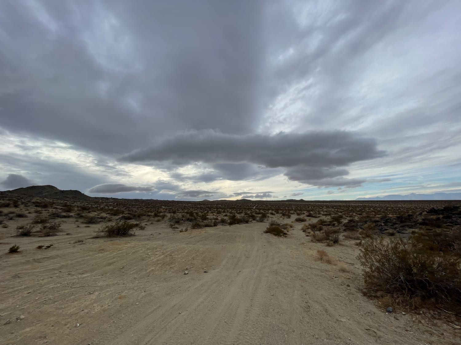
Back to Where Ya Came From
Total Miles
2.7
Tech Rating
Moderate
Best Time
Winter, Fall, Spring
Learn more about Back Way to Schmidt Tunnel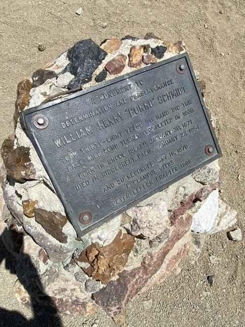
Back Way to Schmidt Tunnel
Total Miles
9.0
Tech Rating
Easy
Best Time
Spring, Fall, Winter
Learn more about Backdoor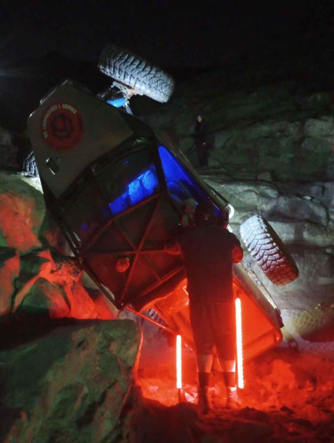
Backdoor
Total Miles
0.1
Tech Rating
Extreme
Best Time
Spring, Summer, Fall, Winter
ATV trails in California


UTV/side-by-side trails in California


Learn more about 3N267 Fenner Saddle (4N12)
3N267 Fenner Saddle (4N12)
Total Miles
3.8
Tech Rating
Difficult
Best Time
Spring, Summer, Fall, Winter

The onX Offroad Difference
onX Offroad combines trail photos, descriptions, difficulty ratings, width restrictions, seasonality, and more in a user-friendly interface. Available on all devices, with offline access and full compatibility with CarPlay and Android Auto. Discover what you’re missing today!