Off-Road Trails in California
Discover off-road trails in California
Learn more about 3N06A Cold Water Canyon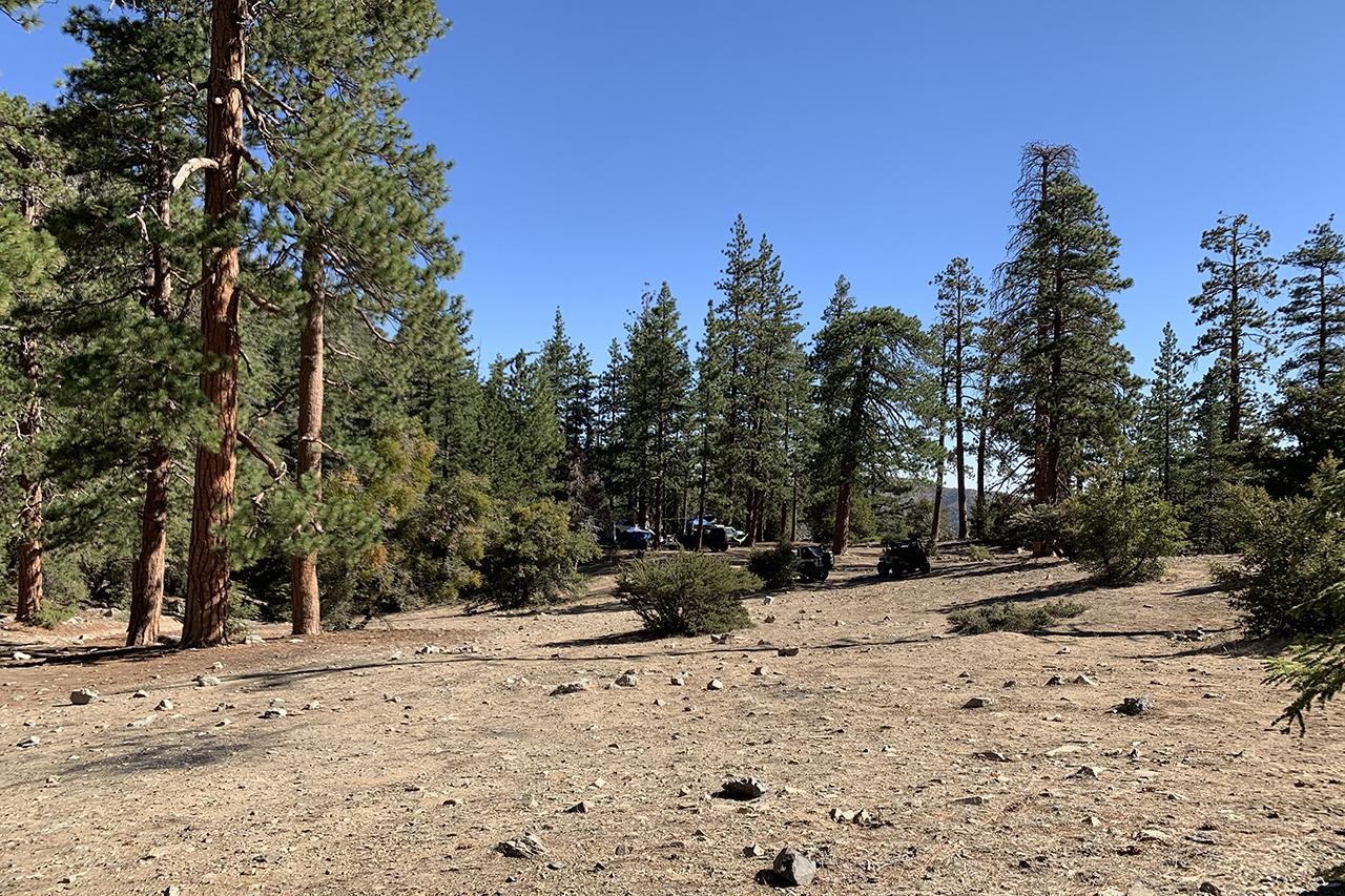
3N06A Cold Water Canyon
Total Miles
2.6
Tech Rating
Moderate
Best Time
Spring, Summer, Fall
Learn more about 3N07A - The Squeeze Trail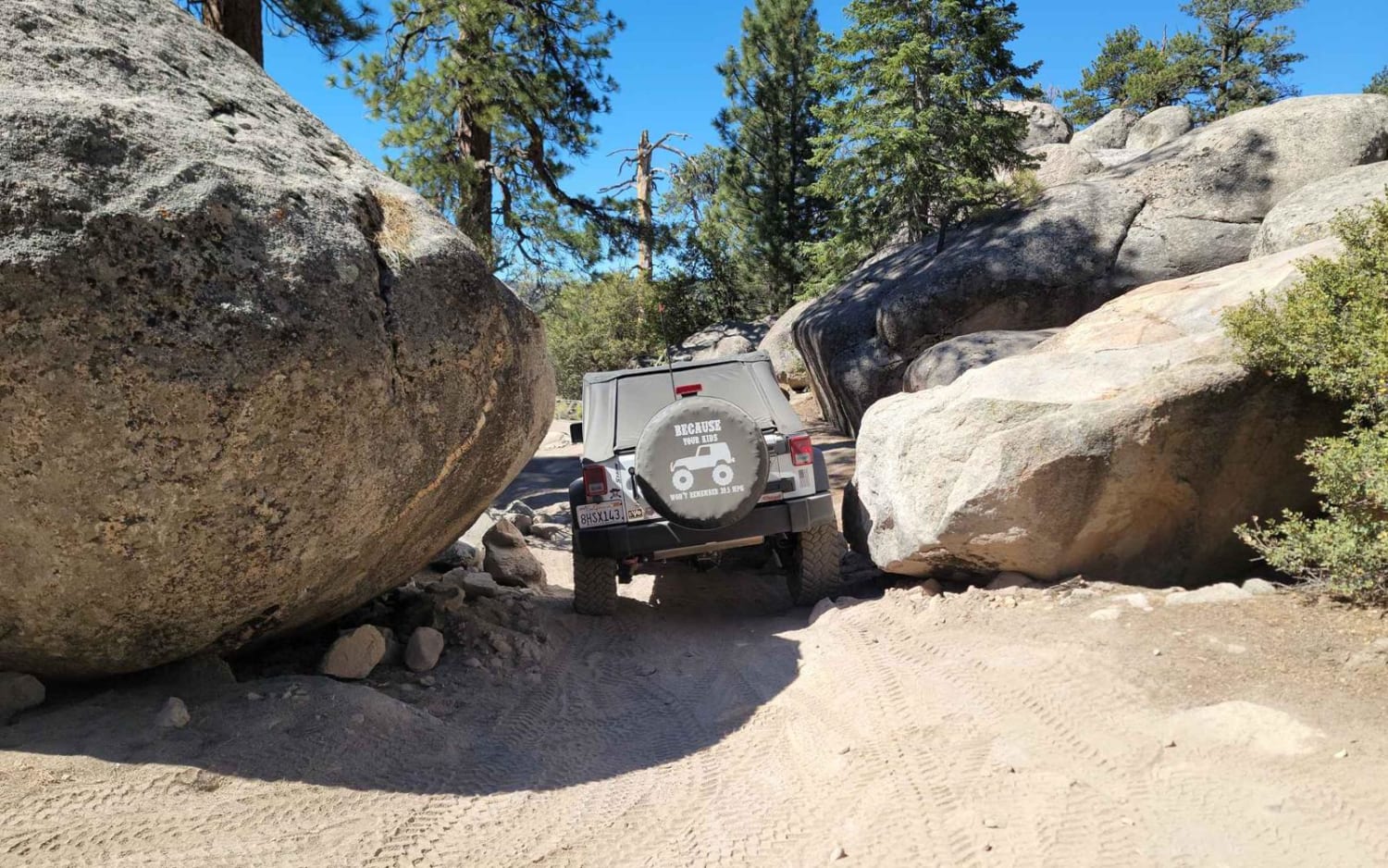
3N07A - The Squeeze Trail
Total Miles
1.3
Tech Rating
Moderate
Best Time
Spring, Summer, Fall

Learn more about 3N267 Fenner Saddle (4N12)
3N267 Fenner Saddle (4N12)
Total Miles
3.8
Tech Rating
Difficult
Best Time
Spring, Summer, Fall, Winter
Learn more about 3N69 Gold Mountain
3N69 Gold Mountain
Total Miles
4.5
Tech Rating
Difficult
Best Time
Spring, Summer, Fall
Learn more about 3S04 Main Divide to Santiago Peak
3S04 Main Divide to Santiago Peak
Total Miles
4.9
Tech Rating
Easy
Best Time
Spring, Summer, Fall

Learn more about 3S121 - Whoopsie Test Ride
3S121 - Whoopsie Test Ride
Total Miles
1.0
Tech Rating
Easy
Best Time
Spring, Summer, Fall
Learn more about 3S151 Crowley Lake Trail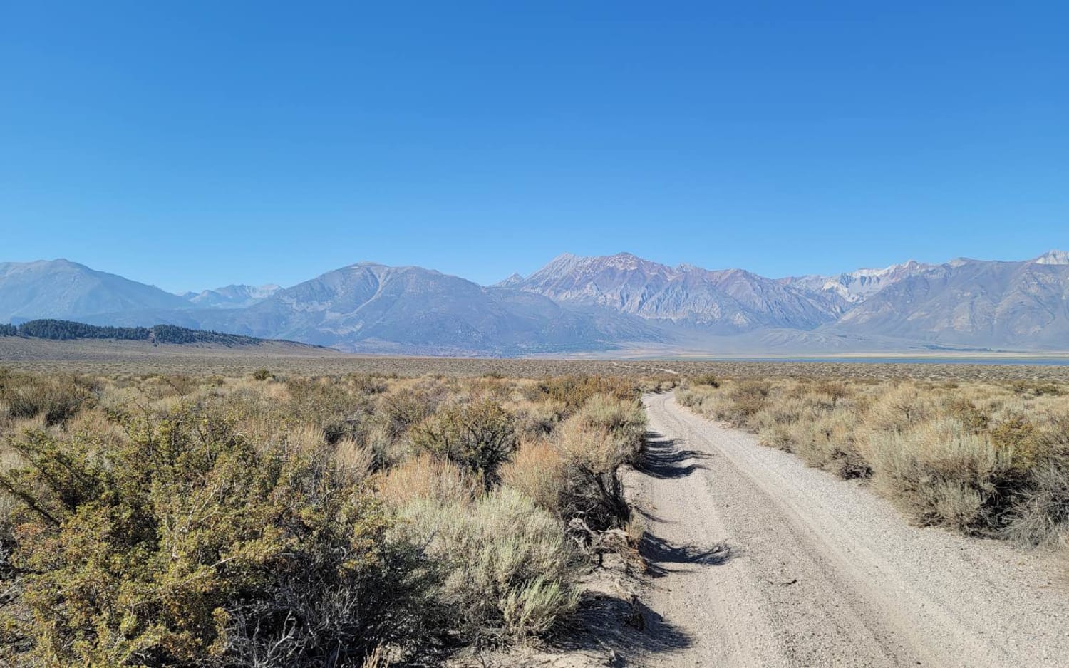
3S151 Crowley Lake Trail
Total Miles
6.8
Tech Rating
Easy
Best Time
Spring, Summer, Fall
Learn more about 3S151 Side Spur Trail To Beach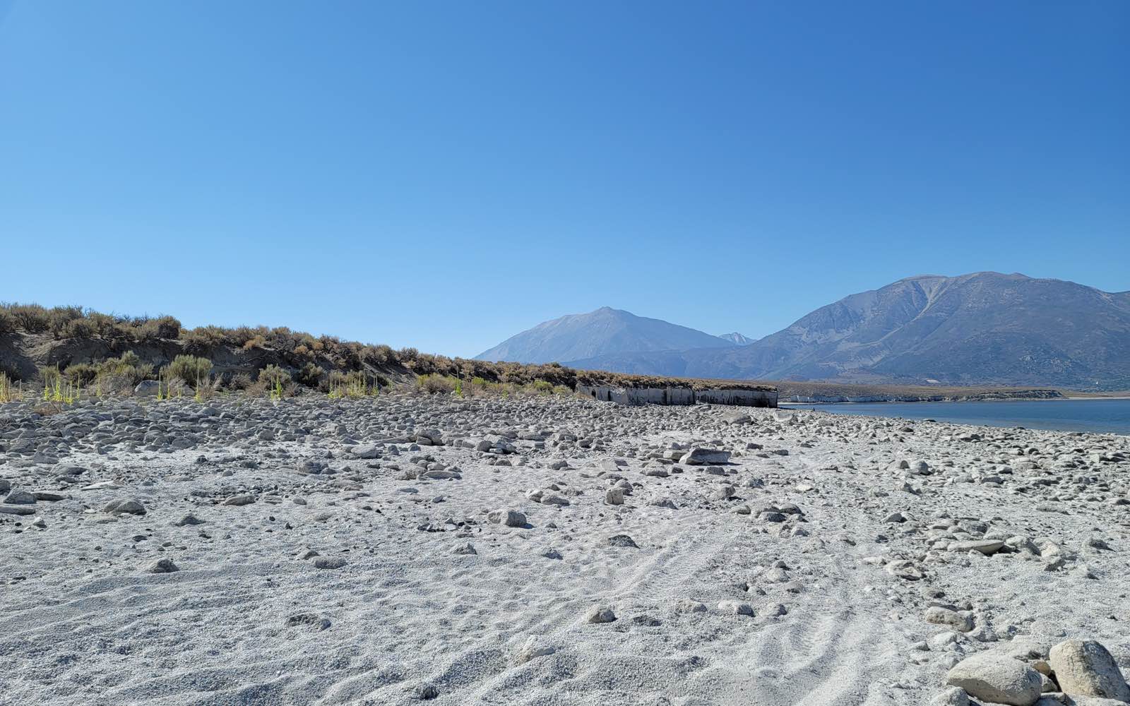
3S151 Side Spur Trail To Beach
Total Miles
0.5
Tech Rating
Easy
Best Time
Spring, Summer, Fall
Learn more about 3S35J Water Tower Loop
3S35J Water Tower Loop
Total Miles
1.2
Tech Rating
Easy
Best Time
Summer, Spring, Fall
Learn more about 4 South Coast Road-20S05.5
4 South Coast Road-20S05.5
Total Miles
9.4
Tech Rating
Moderate
Best Time
Spring, Fall
Learn more about 40 to 95 through Homer Mountain
40 to 95 through Homer Mountain
Total Miles
19.1
Tech Rating
Moderate
Best Time
Spring, Summer, Fall
Learn more about 4000 Foot Road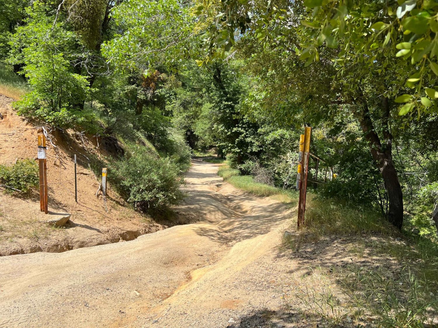
4000 Foot Road
Total Miles
2.1
Tech Rating
Easy
Best Time
Spring, Summer, Fall
Learn more about 45 Cutoff - FS 25E309
45 Cutoff - FS 25E309
Total Miles
0.6
Tech Rating
Easy
Best Time
Summer, Fall
Learn more about 4S19 Angelus Hill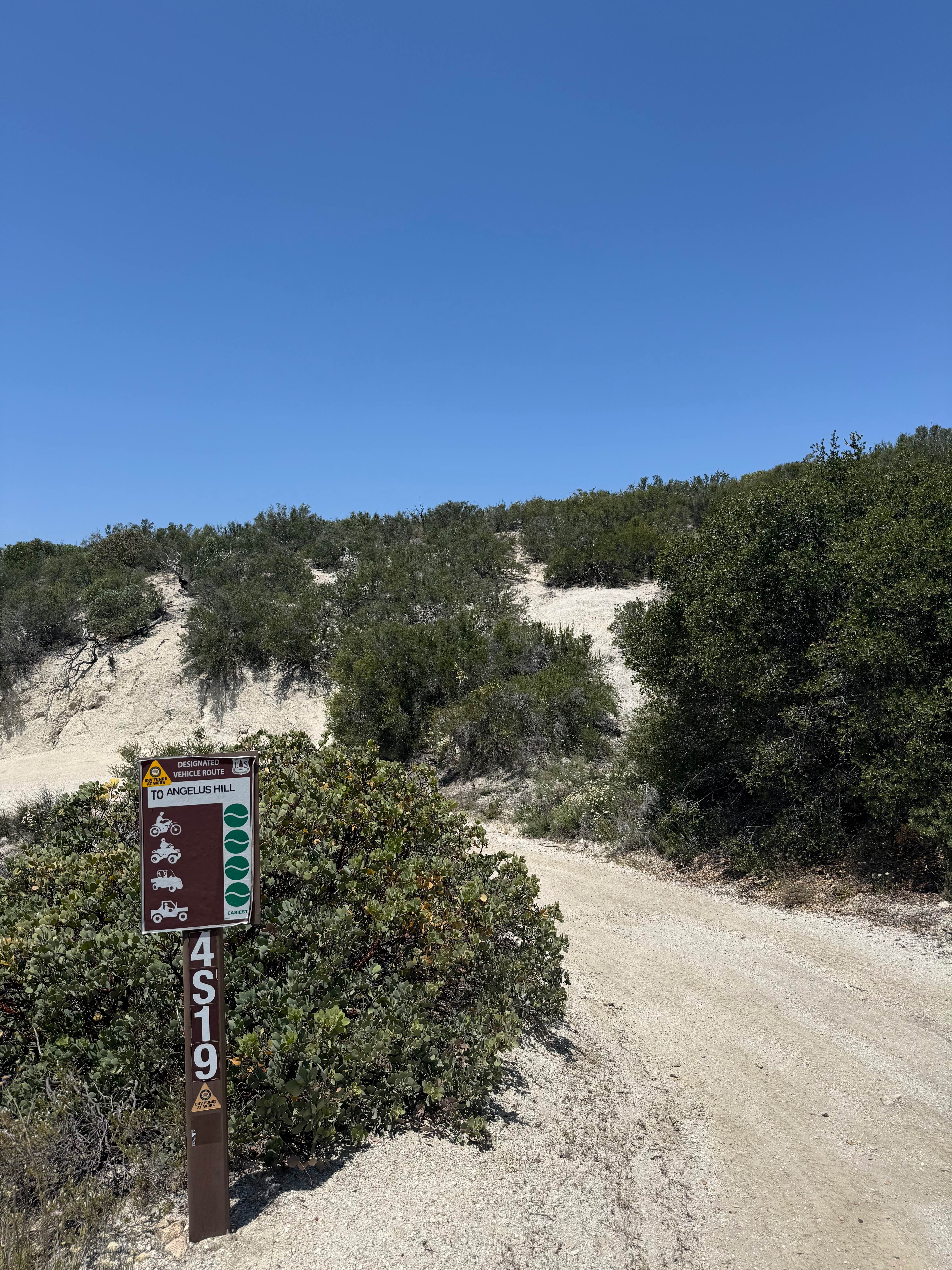
4S19 Angelus Hill
Total Miles
2.6
Tech Rating
Easy
Best Time
Spring, Fall
Learn more about 4x4 Trona Pinnacles Playground Scenic Tour
4x4 Trona Pinnacles Playground Scenic Tour
Total Miles
3.0
Tech Rating
Moderate
Best Time
Winter, Fall, Spring
ATV trails in California


UTV/side-by-side trails in California

Learn more about 3N267 Fenner Saddle (4N12)
3N267 Fenner Saddle (4N12)
Total Miles
3.8
Tech Rating
Difficult
Best Time
Spring, Summer, Fall, Winter
The onX Offroad Difference
onX Offroad combines trail photos, descriptions, difficulty ratings, width restrictions, seasonality, and more in a user-friendly interface. Available on all devices, with offline access and full compatibility with CarPlay and Android Auto. Discover what you’re missing today!