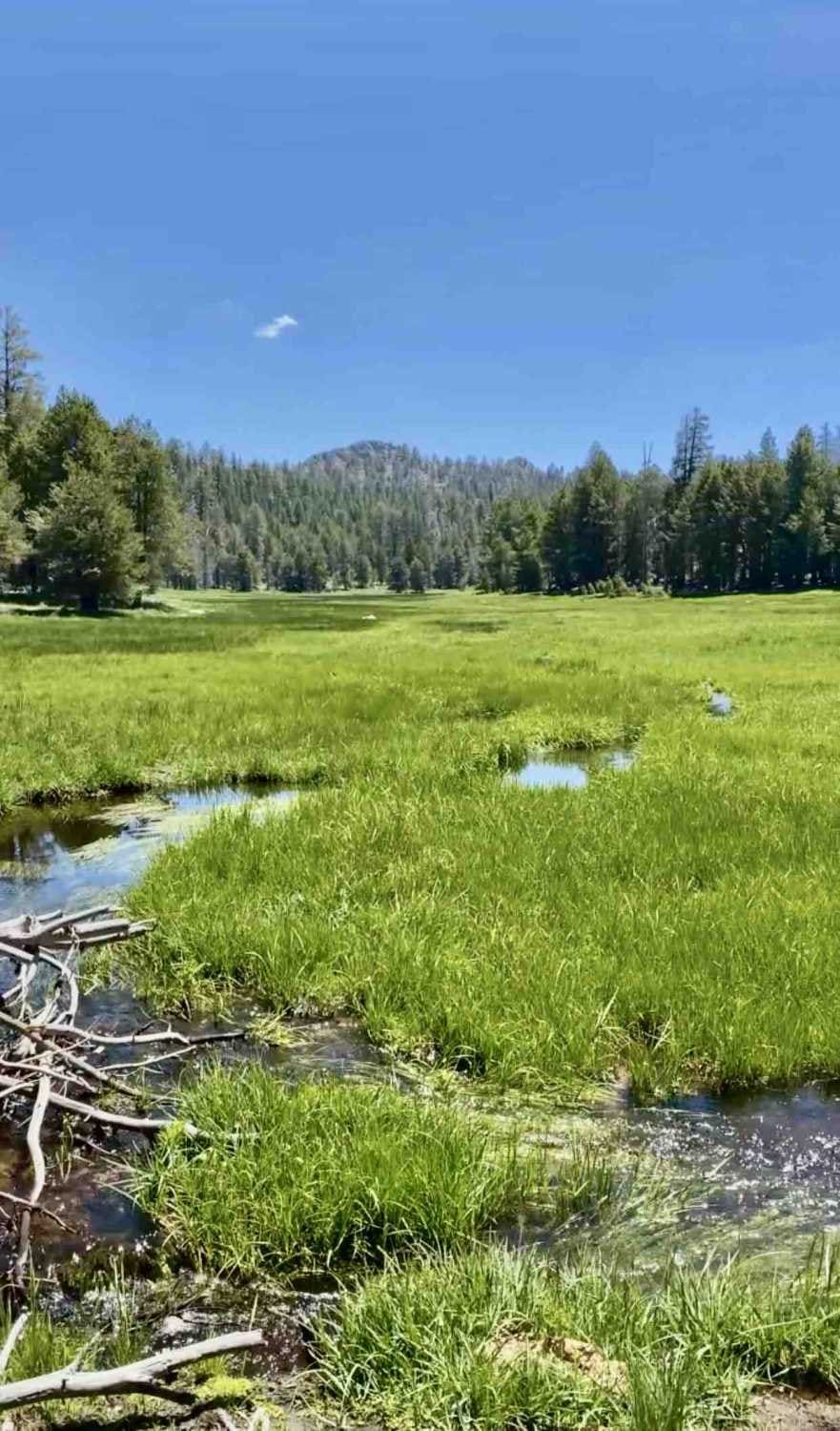
Off-Road Trails in California
Discover off-road trails in California
Learn more about Adobe Ranch Road - FS 1N17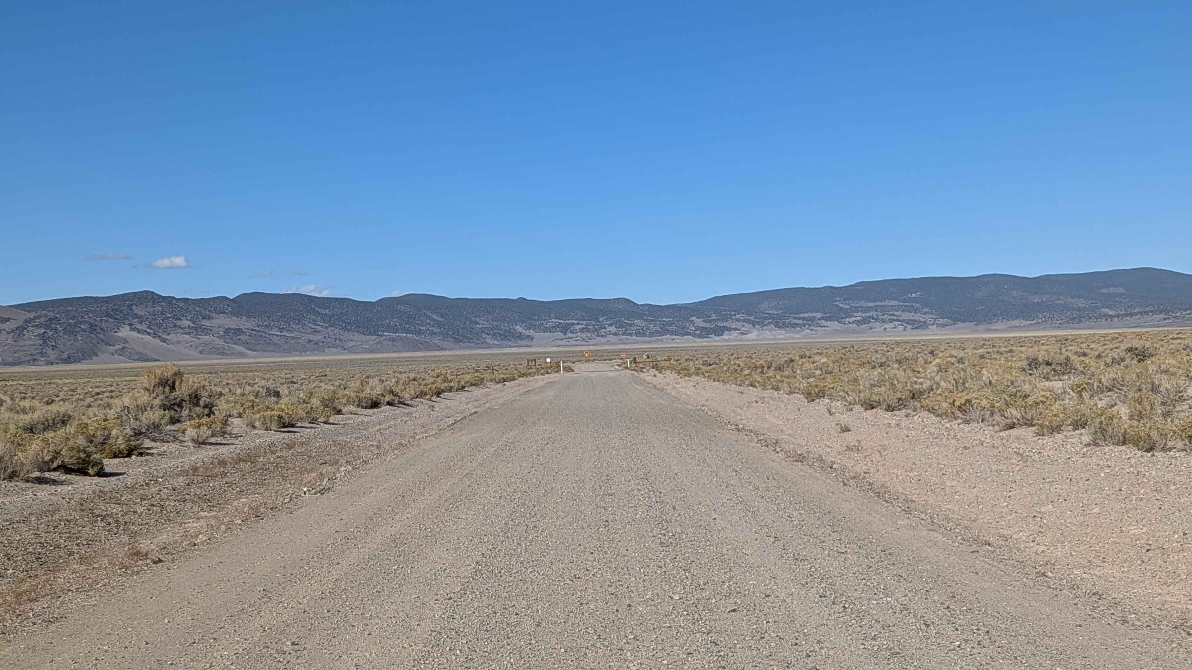
Adobe Ranch Road - FS 1N17
Total Miles
3.5
Tech Rating
Easy
Best Time
Summer, Fall, Spring
Learn more about Aeolian Butte - FS 1S128B / FS 128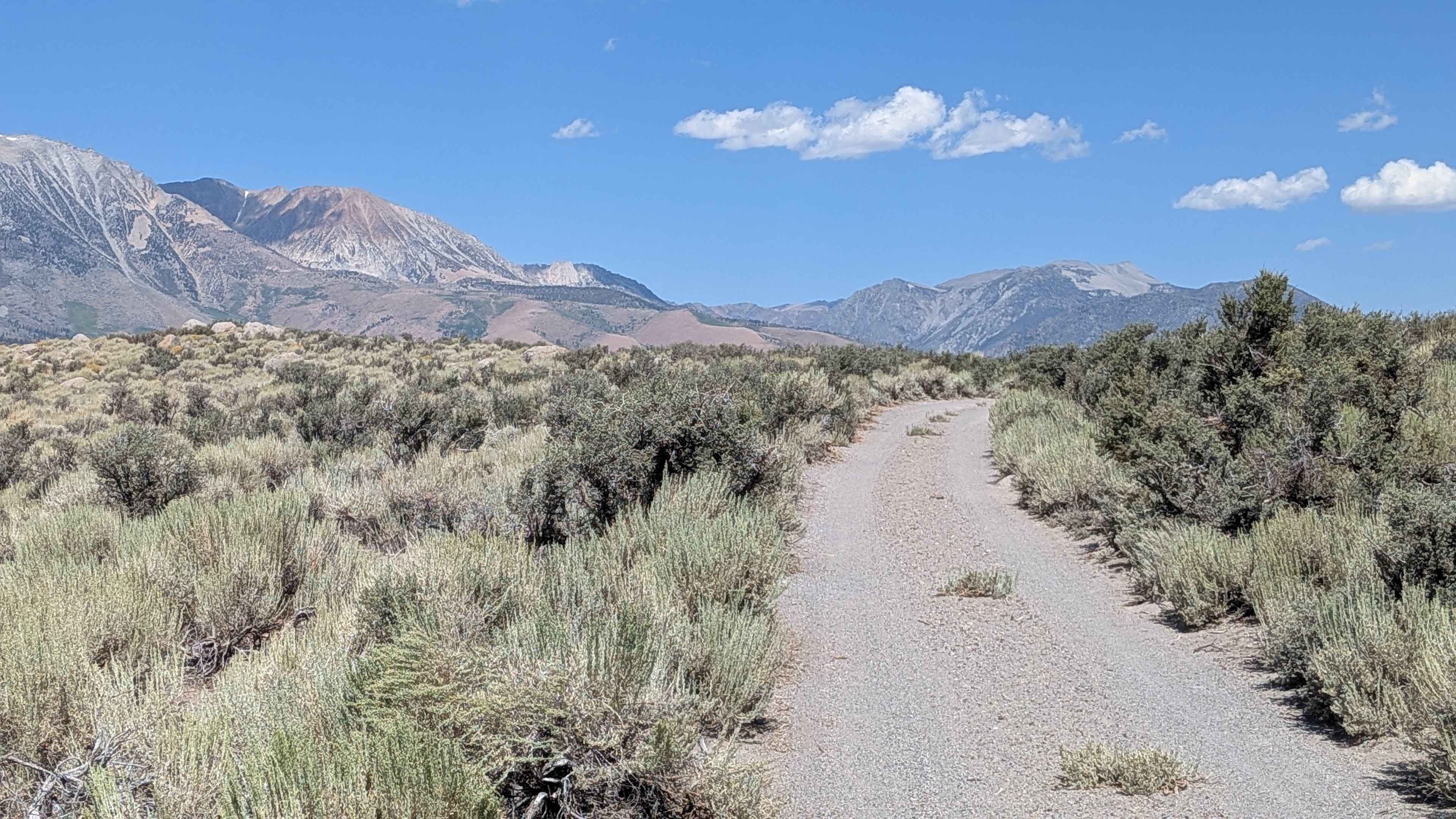
Aeolian Butte - FS 1S128B / FS 128
Total Miles
1.5
Tech Rating
Easy
Best Time
Fall, Summer
Learn more about Aeolian Ridge FS1S46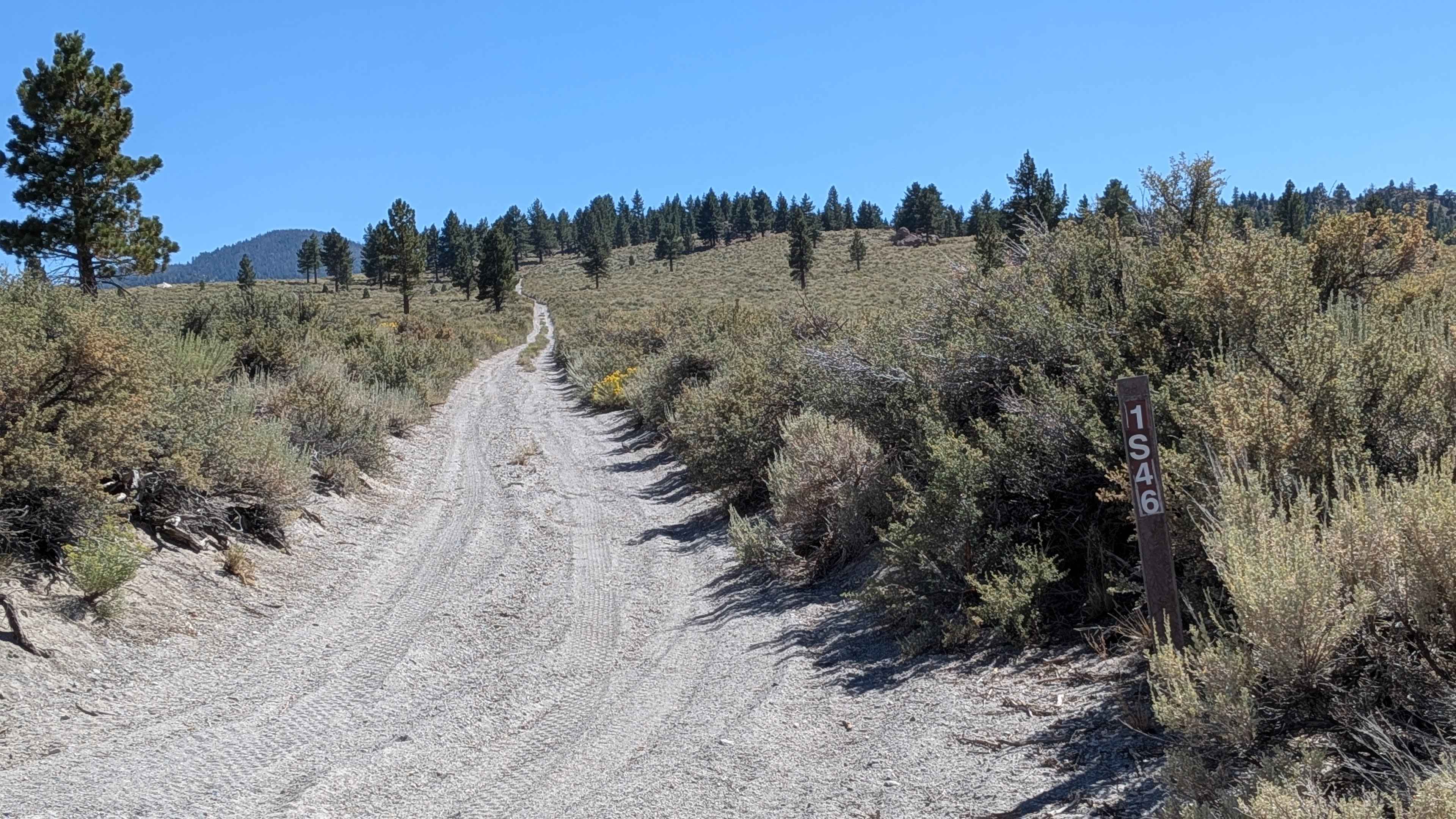
Aeolian Ridge FS1S46
Total Miles
1.6
Tech Rating
Easy
Best Time
Fall, Summer
Learn more about Aftershock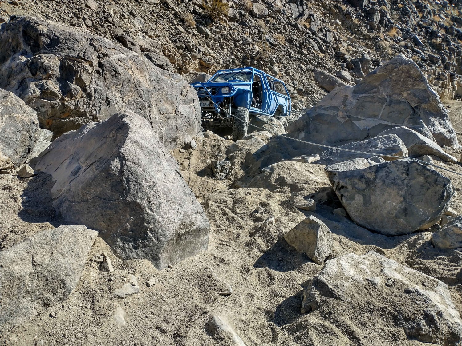
Aftershock
Total Miles
1.2
Tech Rating
Extreme
Best Time
Spring, Summer, Fall, Winter
Learn more about Afton Canyon to the Mojave Megaphone
Afton Canyon to the Mojave Megaphone
Total Miles
8.9
Tech Rating
Easy
Best Time
Spring, Fall, Winter
Learn more about Aiken Mine Rd
Aiken Mine Rd
Total Miles
13.6
Tech Rating
Easy
Best Time
Spring, Summer, Fall, Winter
Learn more about Airola Meadow Loop
Airola Meadow Loop
Total Miles
3.4
Tech Rating
Easy
Best Time
Spring, Summer, Fall
Learn more about Airstrip Road to Hess Mine
Airstrip Road to Hess Mine
Total Miles
2.8
Tech Rating
Moderate
Best Time
Spring, Fall
Learn more about Alamo Mountain Loop
Alamo Mountain Loop
Total Miles
25.3
Tech Rating
Easy
Best Time
Summer, Fall
Learn more about Alamo Mountain OHV - FS 8N01.3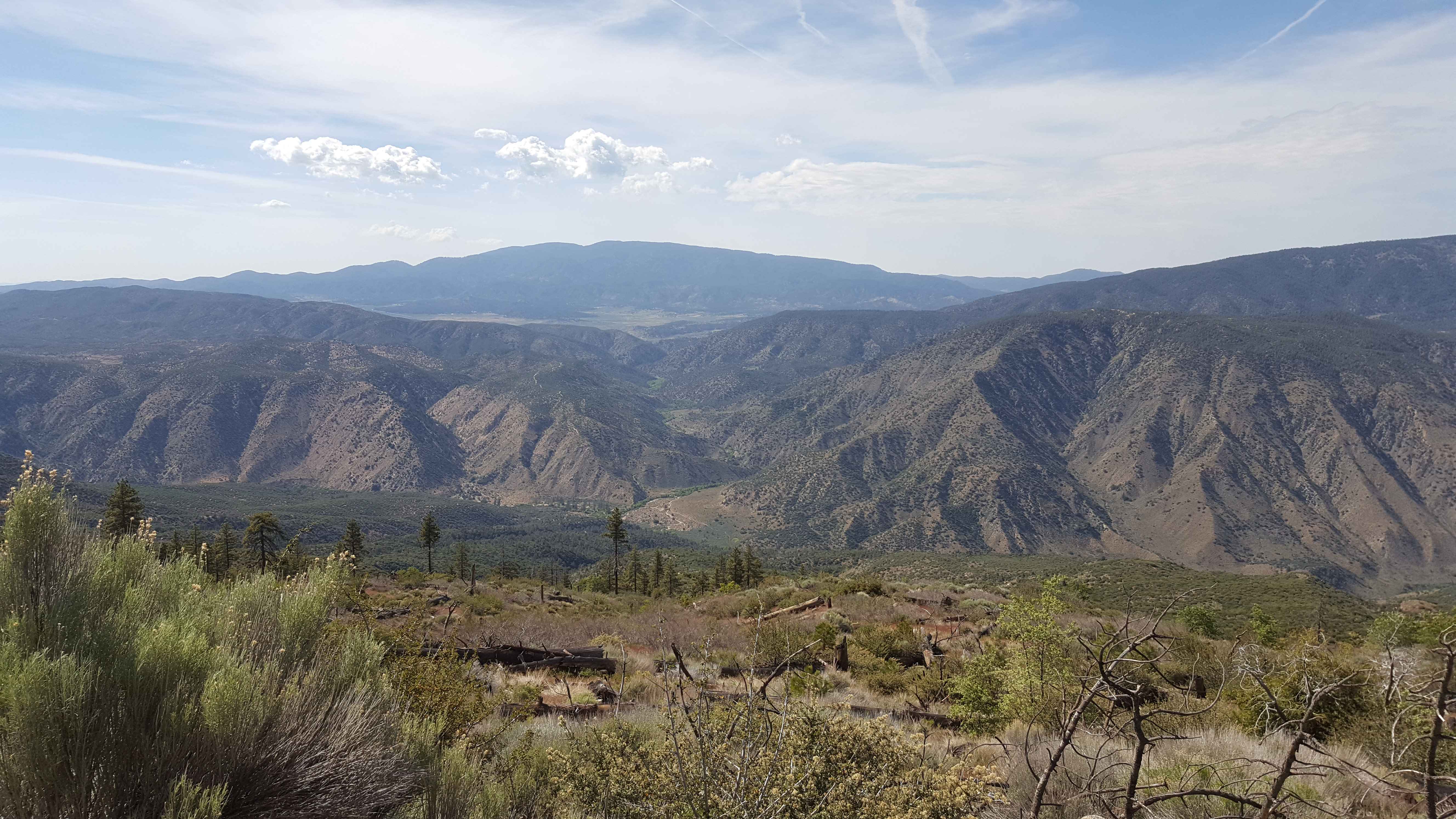
Alamo Mountain OHV - FS 8N01.3
Total Miles
13.8
Tech Rating
Easy
Best Time
Summer, Fall
Learn more about Alder Creek Road - FSR 1n16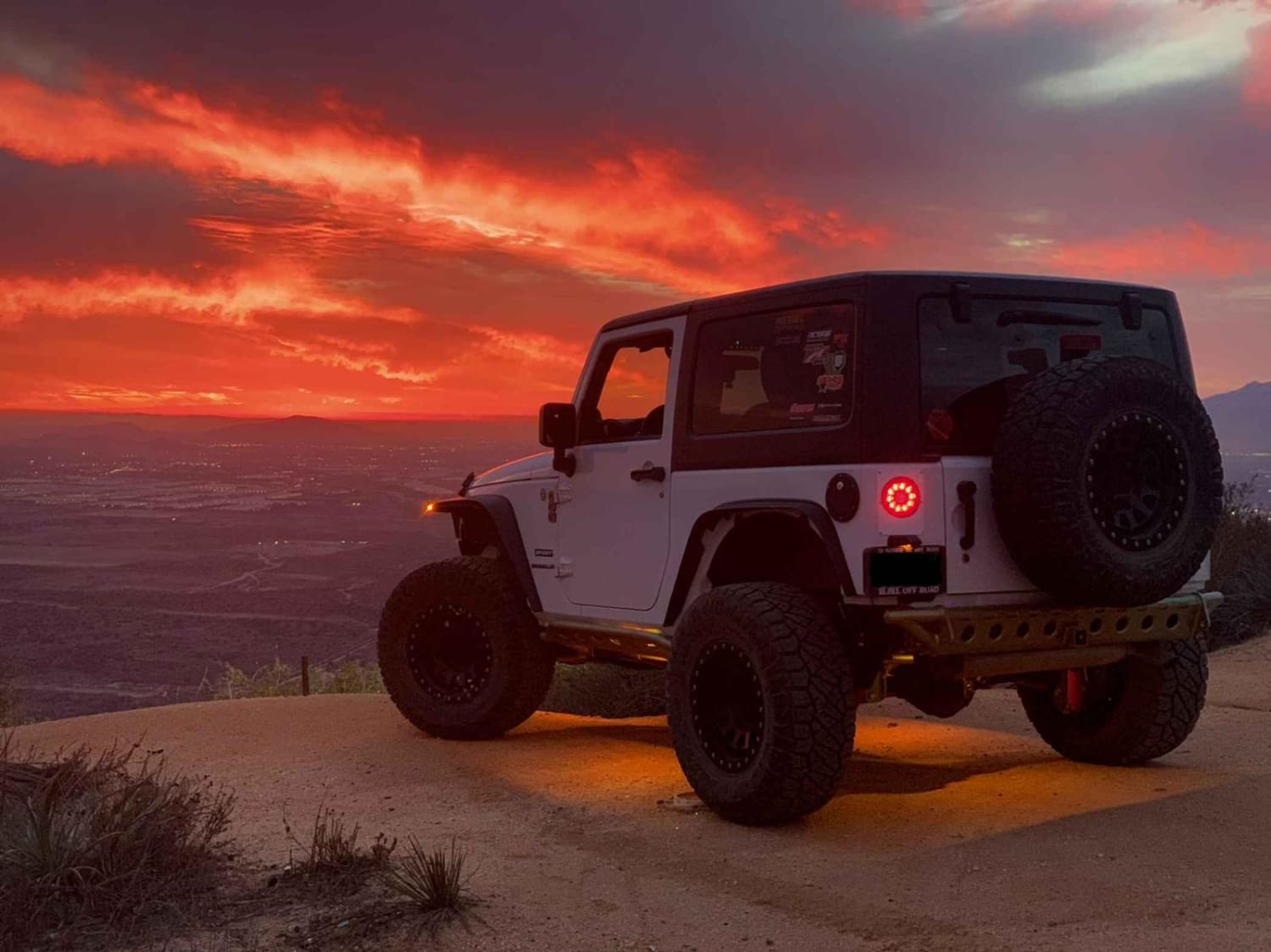
Alder Creek Road - FSR 1n16
Total Miles
11.1
Tech Rating
Easy
Best Time
Spring, Summer, Fall
Learn more about Alder Springs W.C. - FS 21N30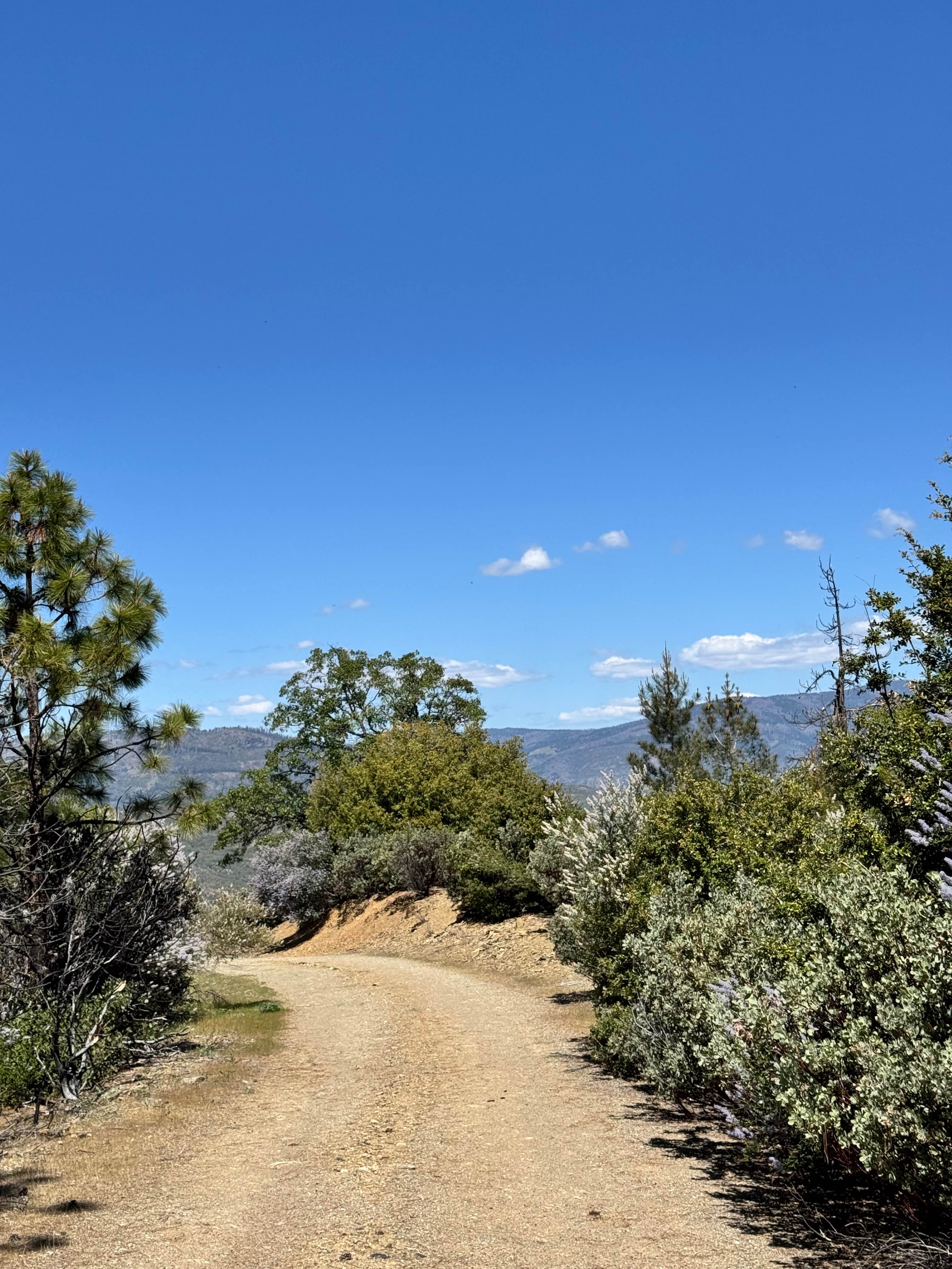
Alder Springs W.C. - FS 21N30
Total Miles
2.6
Tech Rating
Easy
Best Time
Spring, Summer, Fall
Learn more about Alice Mine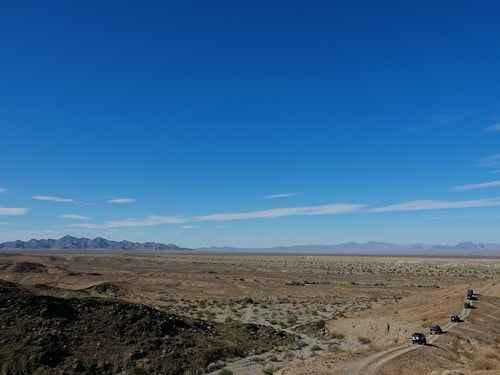
Alice Mine
Total Miles
7.2
Tech Rating
Moderate
Best Time
Spring, Summer, Fall, Winter
Learn more about Alkali Flats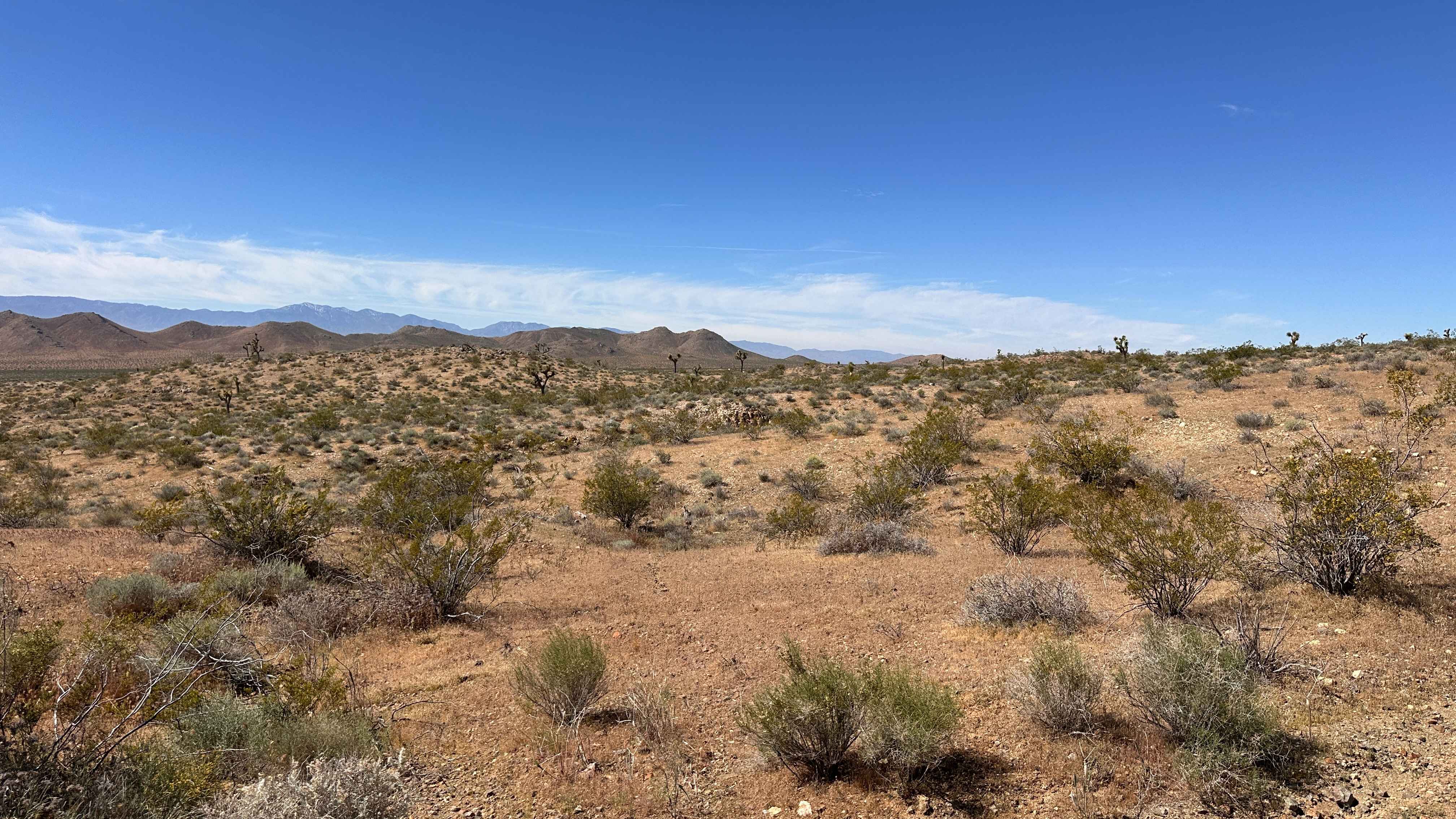
Alkali Flats
Total Miles
1.0
Tech Rating
Moderate
Best Time
Spring, Summer, Fall, Winter
Learn more about Allesandro Trail - 2E44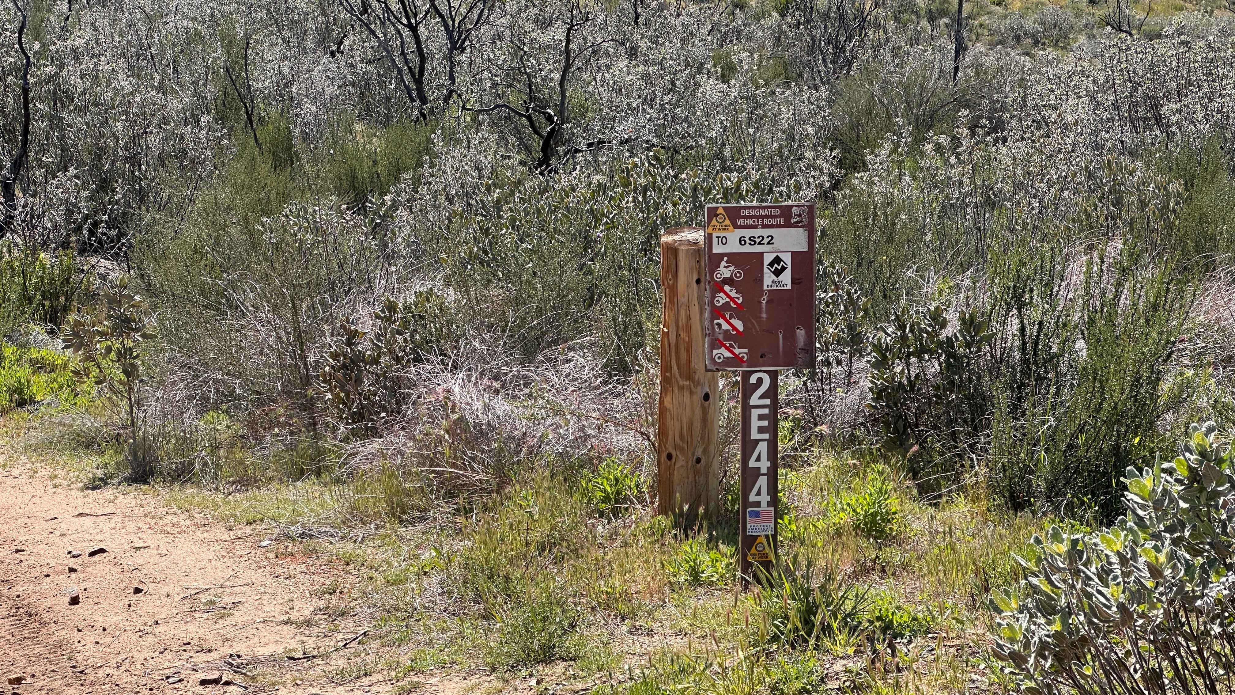
Allesandro Trail - 2E44
Total Miles
3.0
Tech Rating
Extreme
Best Time
Spring, Summer, Fall, Winter
Learn more about Alpers Canyon - FS 103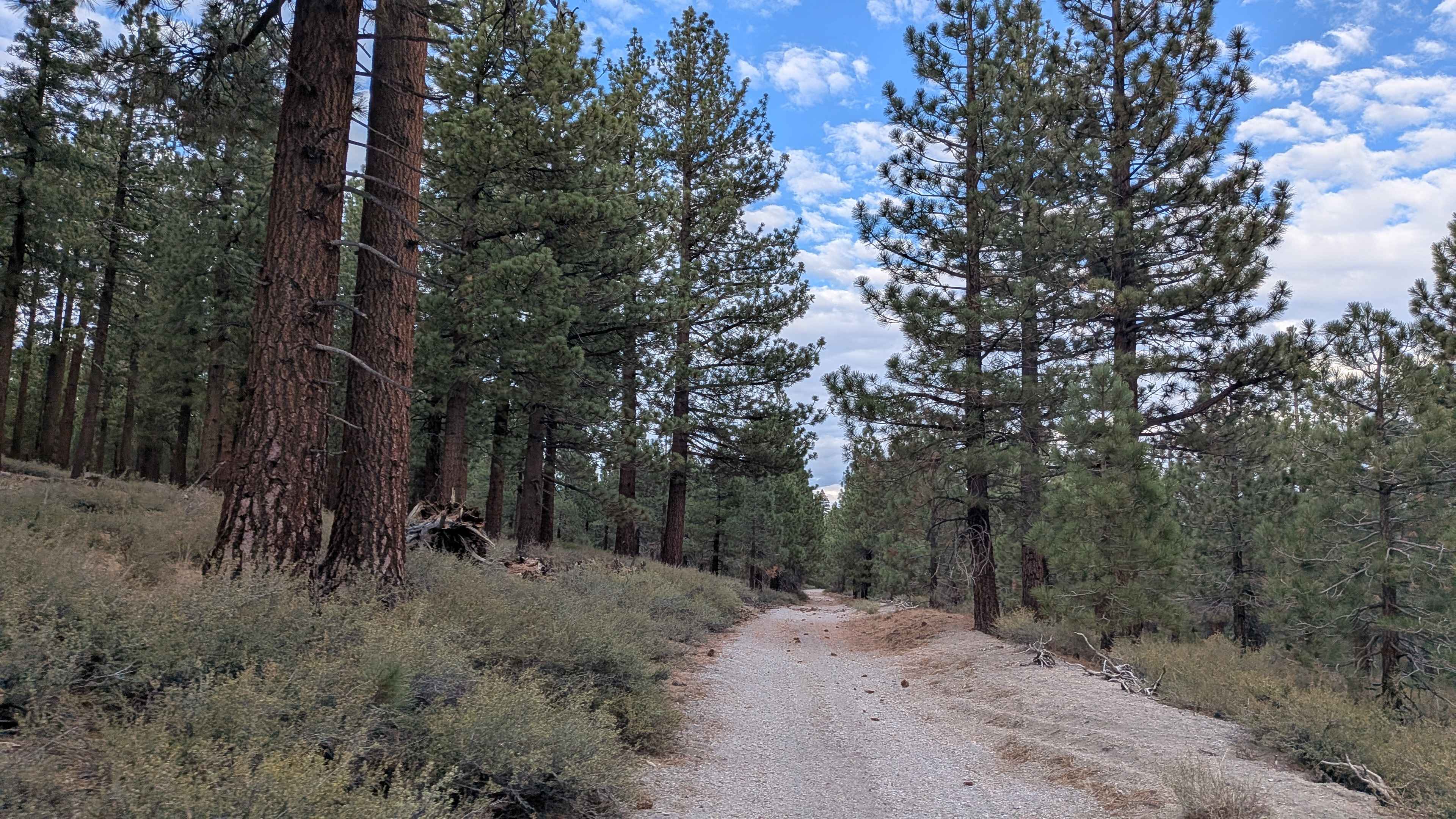
Alpers Canyon - FS 103
Total Miles
5.7
Tech Rating
Easy
Best Time
Fall, Summer
Learn more about Alpers Canyon Upper FS2S42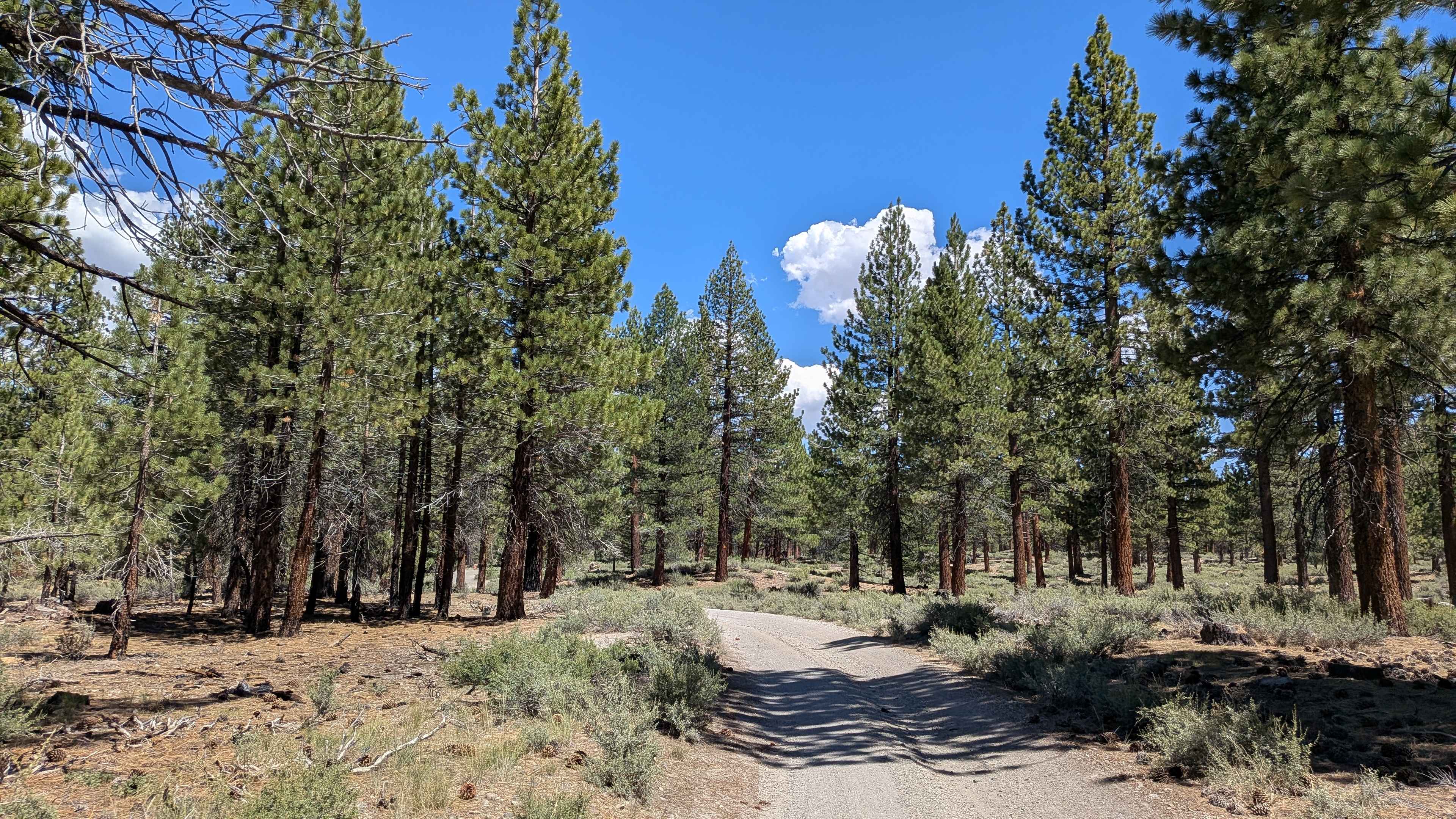
Alpers Canyon Upper FS2S42
Total Miles
4.7
Tech Rating
Easy
Best Time
Fall, Summer
Learn more about Alphie Springs Wash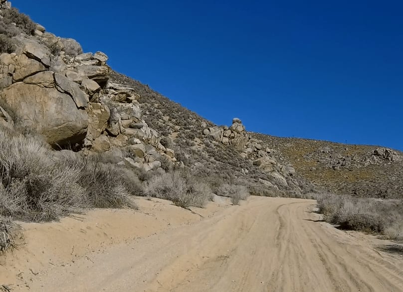
Alphie Springs Wash
Total Miles
5.9
Tech Rating
Easy
Best Time
Spring, Fall, Winter
Learn more about American Camp Lookout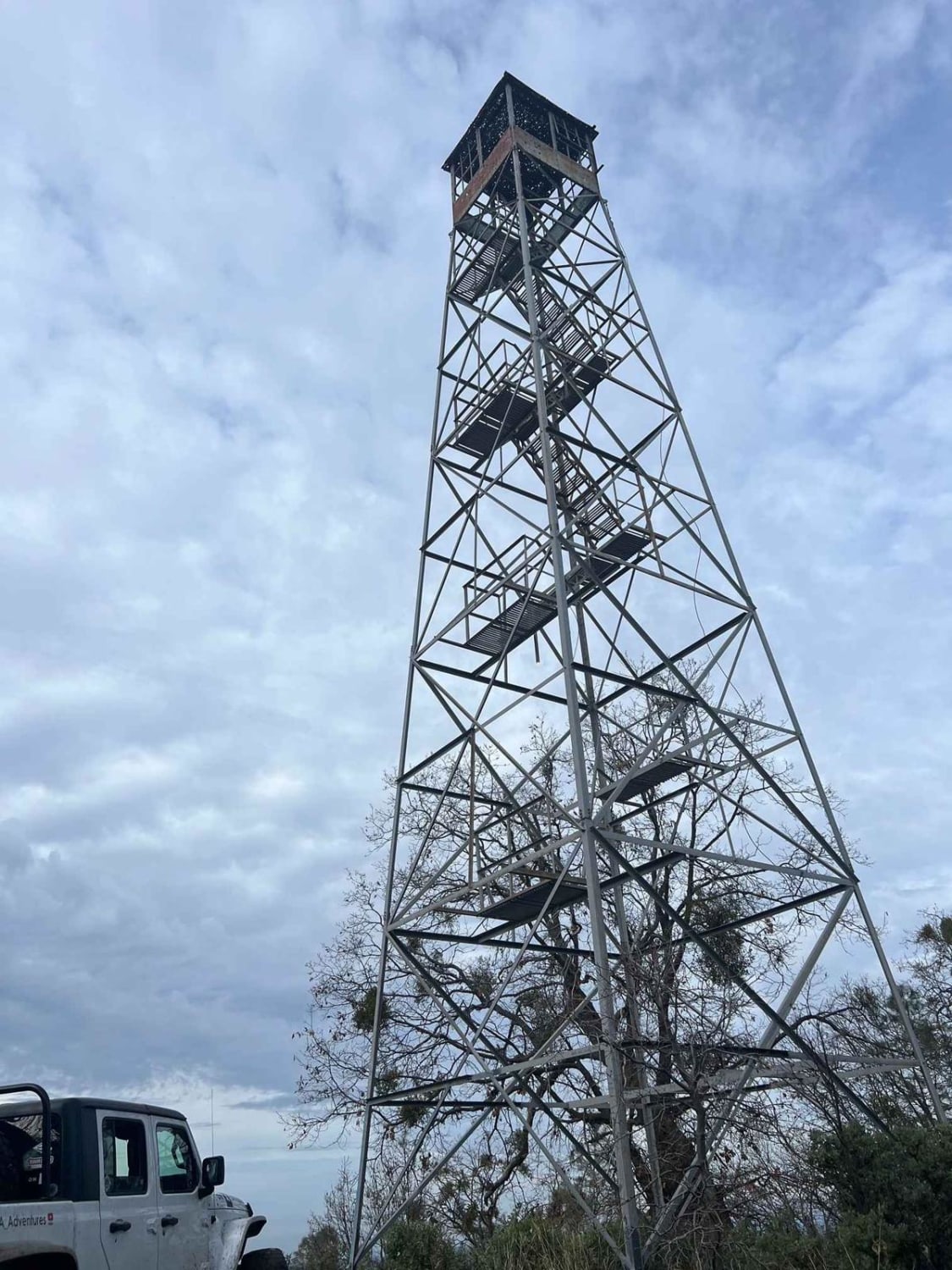
American Camp Lookout
Total Miles
9.1
Tech Rating
Easy
Best Time
Summer, Spring, Fall
ATV trails in California


UTV/side-by-side trails in California


Learn more about 3N267 Fenner Saddle (4N12)
3N267 Fenner Saddle (4N12)
Total Miles
3.8
Tech Rating
Difficult
Best Time
Spring, Summer, Fall, Winter

The onX Offroad Difference
onX Offroad combines trail photos, descriptions, difficulty ratings, width restrictions, seasonality, and more in a user-friendly interface. Available on all devices, with offline access and full compatibility with CarPlay and Android Auto. Discover what you’re missing today!