Bonta Creek - NF23N33
Total Miles
7.7
Technical Rating
Best Time
Spring, Summer, Fall
Trail Type
Full-Width Road
Accessible By
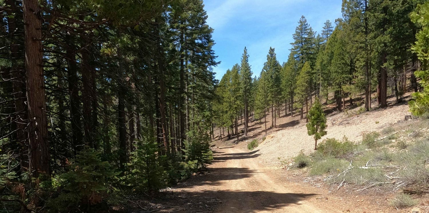
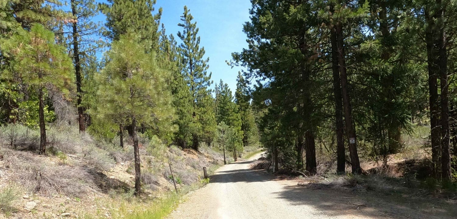
Trail Overview
Graded Forest Service road above the CA-70 highway in Graeagle, California that accesses Bonta Ridge, Penman Saddle, and other points to the North in the Plumas National Forest. There is a great brewery - the Brewing Lair - just below this road on CA-70. This area is above 5,000 feet and this road is seasonally closed by snow.
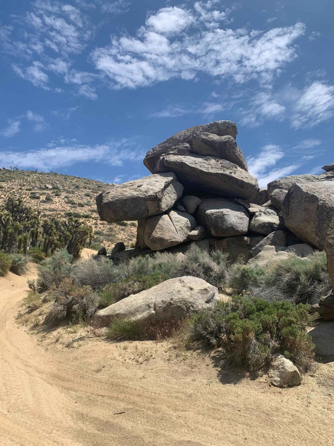
Photos of Bonta Creek - NF23N33
Difficulty
easy dirt forest service road
Status Reports
Bonta Creek - NF23N33 can be accessed by the following ride types:
- High-Clearance 4x4
- SUV
- SxS (60")
Bonta Creek - NF23N33 Map
Popular Trails
Valley of the Names
Picnic Grounds Road

3N267 Fenner Saddle (4N12)
Hanging Rock Loop
The onX Offroad Difference
onX Offroad combines trail photos, descriptions, difficulty ratings, width restrictions, seasonality, and more in a user-friendly interface. Available on all devices, with offline access and full compatibility with CarPlay and Android Auto. Discover what you’re missing today!