Glory Ridge - 2N15 (alternate)
Total Miles
1.9
Technical Rating
Best Time
Spring, Summer, Fall
Trail Type
High-Clearance 4x4 Trail
Accessible By
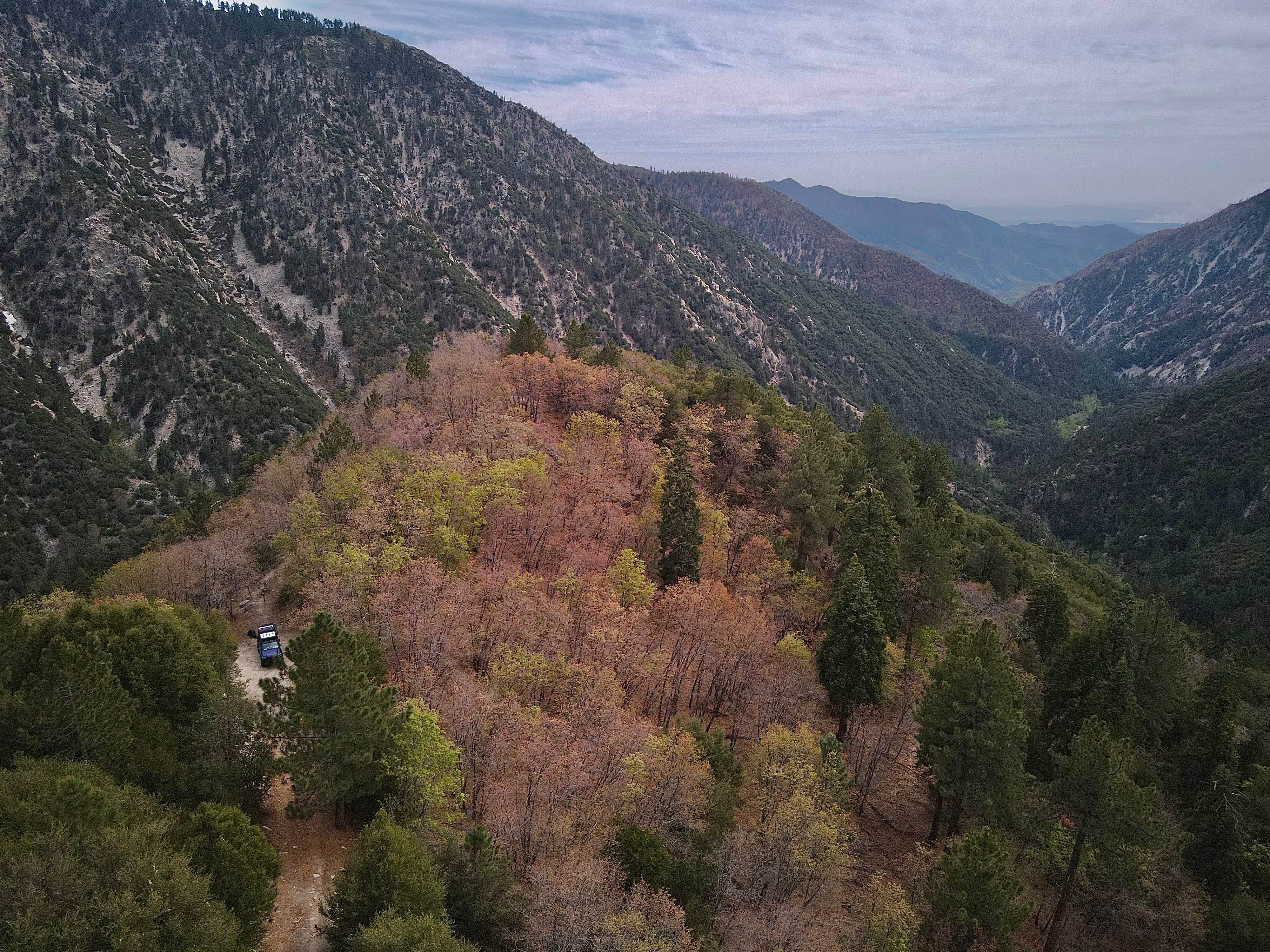
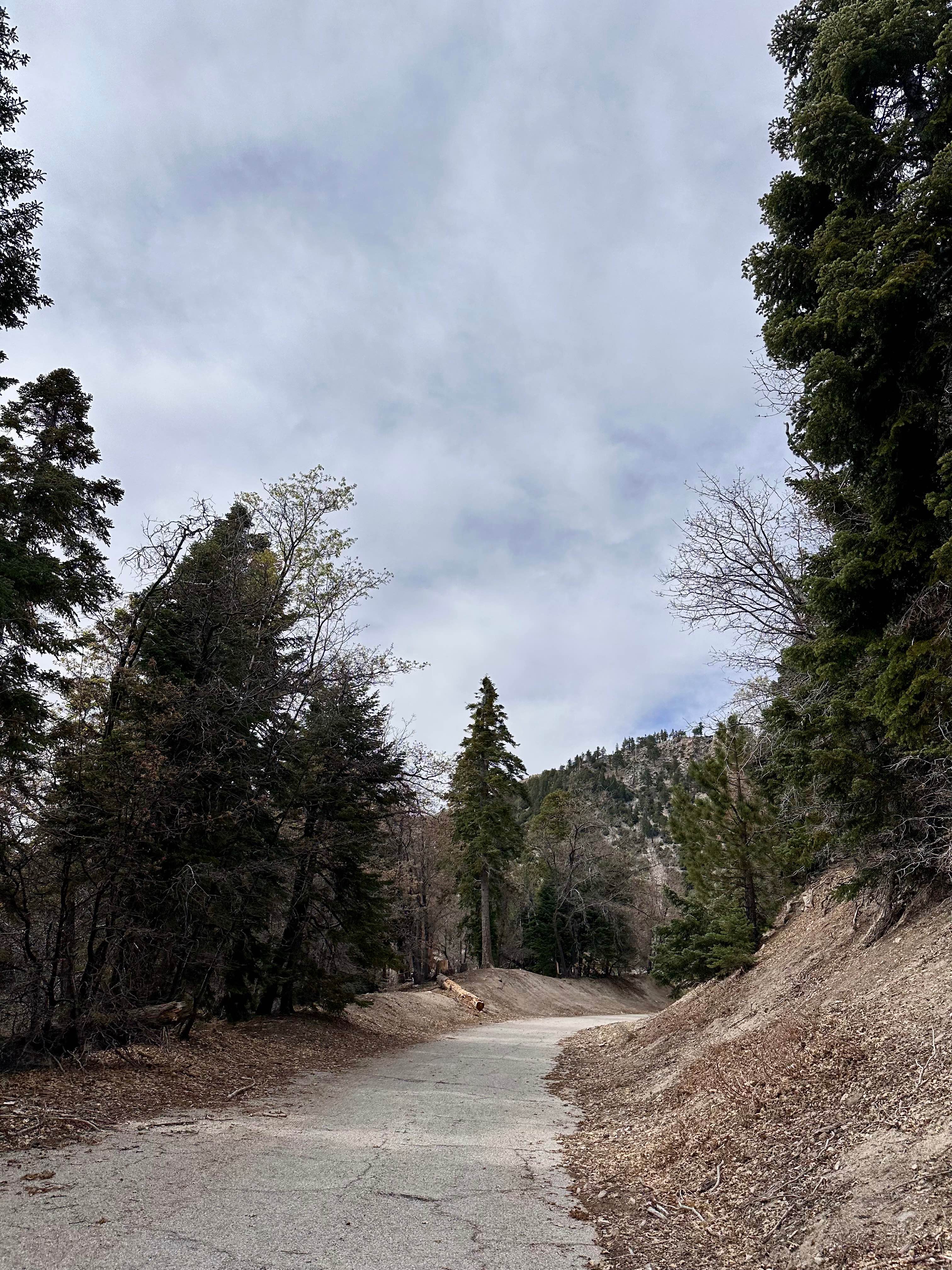
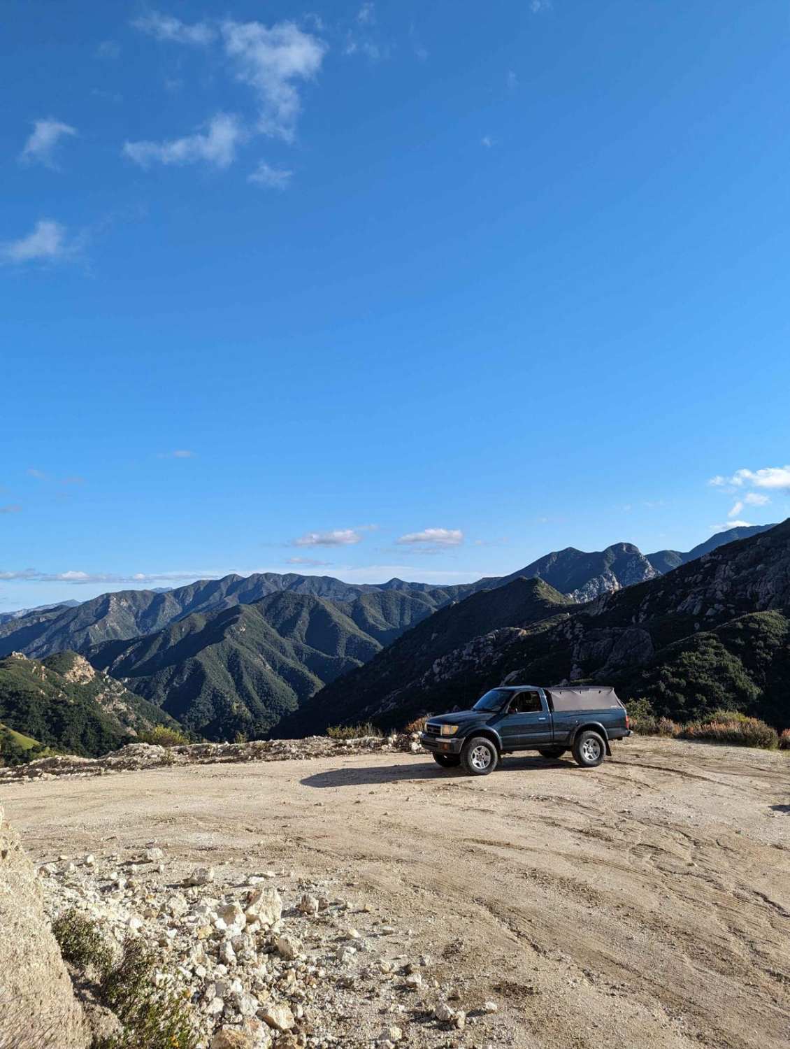
Trail Overview
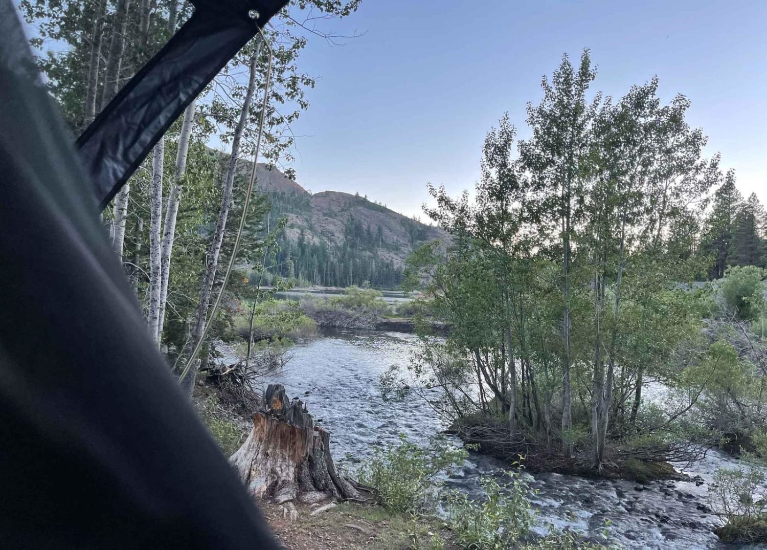
The trail begins off Highway 18 near the Arctic Circle, north of Big Bear Lake, starting with a few hundred feet of pavement. Early on, you'll encounter a junction where turning right onto FS 2N15 offers a steeper alternate route; however, at the time of mapping, this path was blocked by a fallen tree. Continuing straight keeps you on the paved ridge route around the mountain, which provides a more scenic and gradual approach. The pavement soon narrows, breaks up, and transitions into dirt as the trail becomes less maintained. From here, the route turns rocky and uneven, with a wash running through sections of the trail and occasional off-camber terrain. The road is generally single vehicle width, though some areas briefly widen enough for passing. ***There is a noticeable wash at a part of this trail along the mountainside of the road. This may cause the trail to give way and may be inaccessible at some point. Approach this part with extreme caution.*** About three-quarters of the way in, the trail intersects with FS 2N15; it begins to open up as you approach this intersection. After this, it narrows again with an increase in small loose rocks and light debris. Brush becomes more noticeable toward the very end (with some sections recently trimmed). The route ends at a cul-de-sac-style turnaround and dispersed camping area, which also serves as the trailhead for a cliffside hike down to Bear Creek--a great spot for fishing and a quieter backcountry experience.
Photos of Glory Ridge - 2N15 (alternate)
Difficulty
Key difficulty factors include a wash running along more than half the trail, creating uneven and off-camber driving, as well as significant erosion and a visibly washed-out mountainside edge that may fail over time. The route is narrow--typically only wide enough for a single vehicle--with just occasional passing areas, and the terrain is rocky and uneven, featuring loose stones and small rockfall. Depending on the season, drivers may also encounter overgrown brush and fallen trees. The most critical hazard is the deteriorating outer edge of the trail, where the road shows signs of giving way, creating real exposure and requiring precise tire placement and cautious decision-making. This trail is not recommended for beginners; drivers should be comfortable with shelf roads, capable of evaluating risk in real time, and willing to turn around if conditions feel unsafe.
Status Reports
Glory Ridge - 2N15 (alternate) can be accessed by the following ride types:
- High-Clearance 4x4
- SxS (60")
Glory Ridge - 2N15 (alternate) Map
Popular Trails

Redpole Spur - FS 8S042A
Indian Creek Connector
The onX Offroad Difference
onX Offroad combines trail photos, descriptions, difficulty ratings, width restrictions, seasonality, and more in a user-friendly interface. Available on all devices, with offline access and full compatibility with CarPlay and Android Auto. Discover what you’re missing today!