Bonta Ridge - NF23N05Y
Total Miles
4.9
Technical Rating
Best Time
Spring, Summer, Fall
Trail Type
Full-Width Road
Accessible By
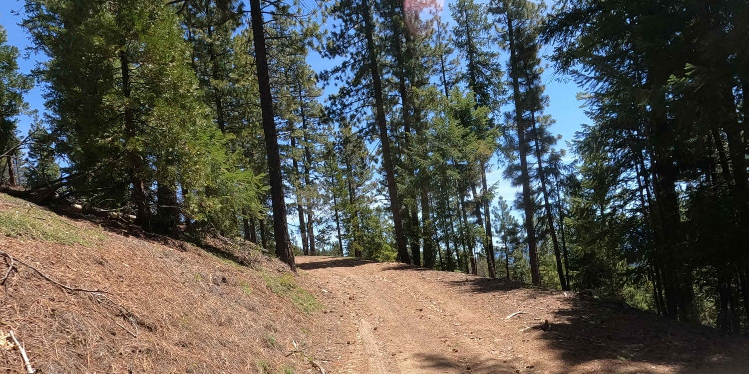
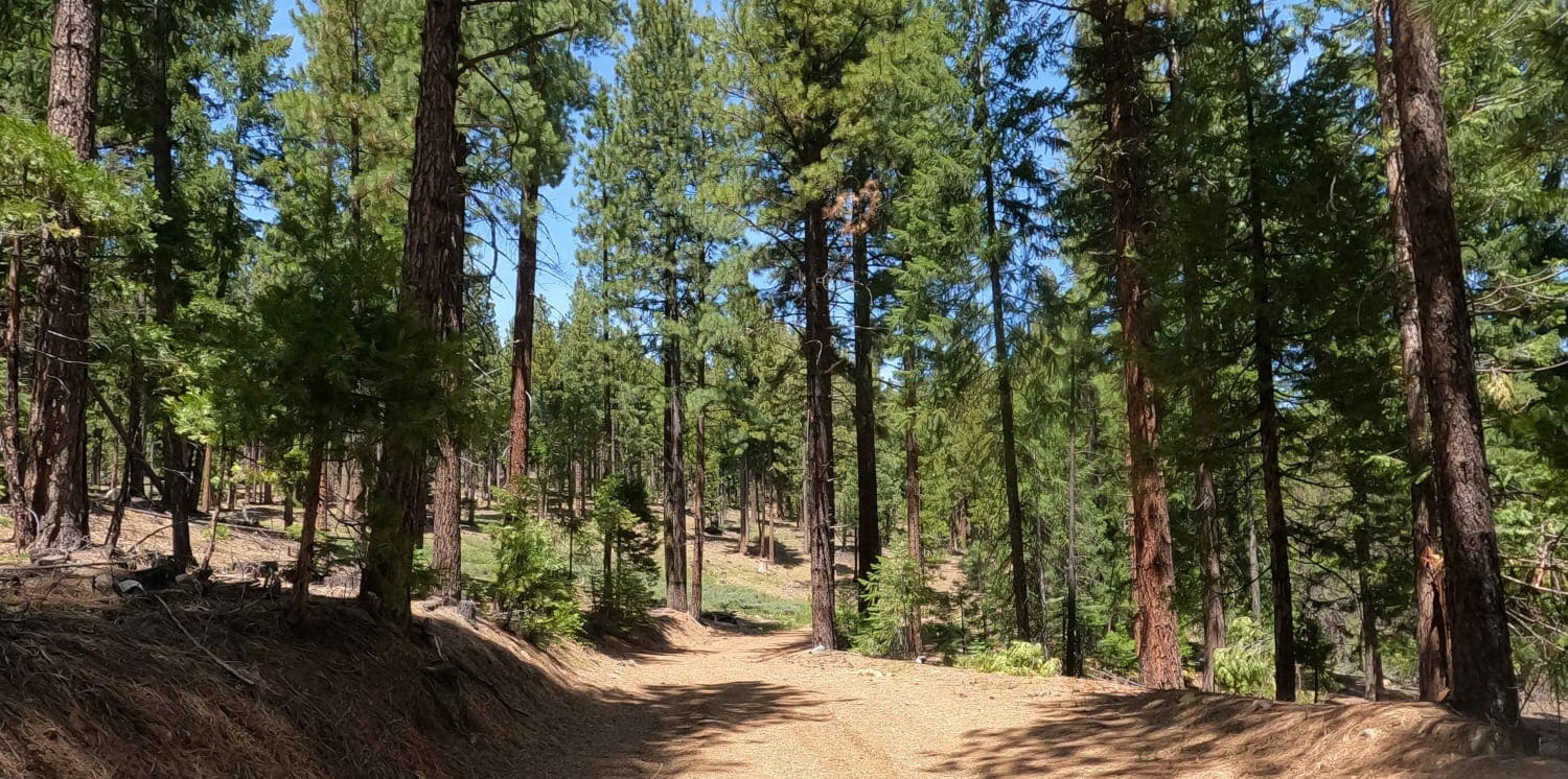
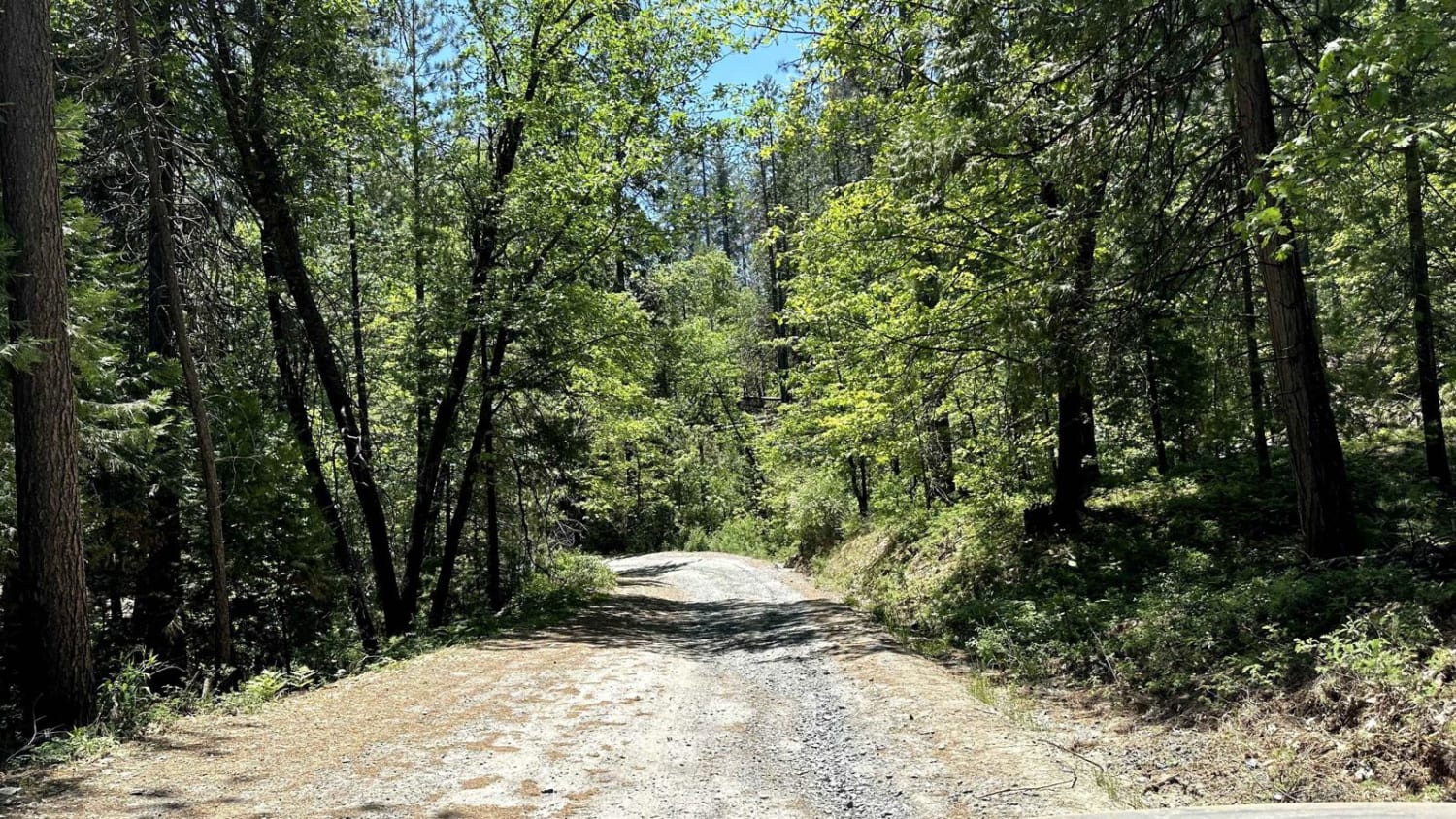
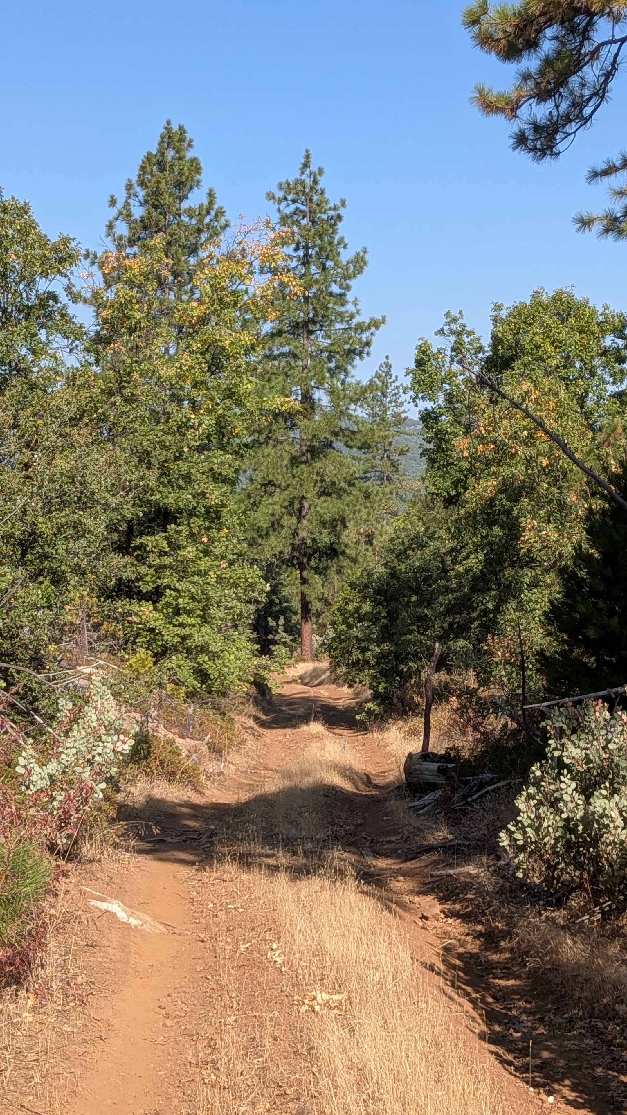
Trail Overview
Bonta Ridge is an occasionally maintained gravel Forest Service road that climbs from Bonta Creek Road above the CA-70 highway up to Penman Saddle and points beyond in this section of the Plumas National Forest. This is a seasonal road that climbs up above 7,000 feet, and one should be prepared to be blocked by snow as late as early June.
Photos of Bonta Ridge - NF23N05Y
Difficulty
easy gravel forest service road
Status Reports
Bonta Ridge - NF23N05Y can be accessed by the following ride types:
- High-Clearance 4x4
- SUV
- SxS (60")
- ATV (50")
- Dirt Bike
Bonta Ridge - NF23N05Y Map
Popular Trails
Candy Rock Road

Augie's Way
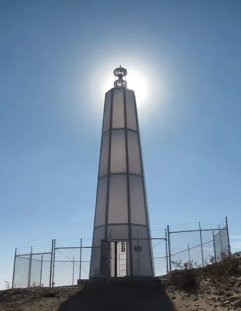
Hinkley Desert Lighthouse
The onX Offroad Difference
onX Offroad combines trail photos, descriptions, difficulty ratings, width restrictions, seasonality, and more in a user-friendly interface. Available on all devices, with offline access and full compatibility with CarPlay and Android Auto. Discover what you’re missing today!