FS 2S41
Total Miles
1.6
Technical Rating
Best Time
Fall, Summer, Spring
Trail Type
Full-Width Road
Accessible By
Trail Overview
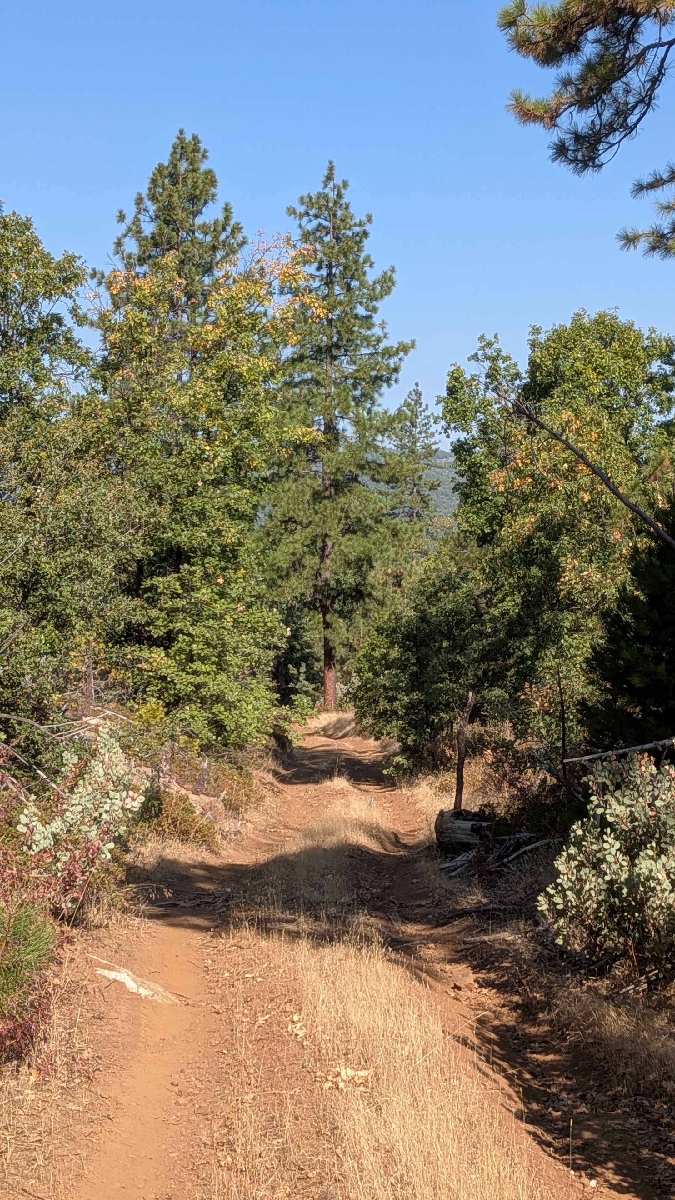
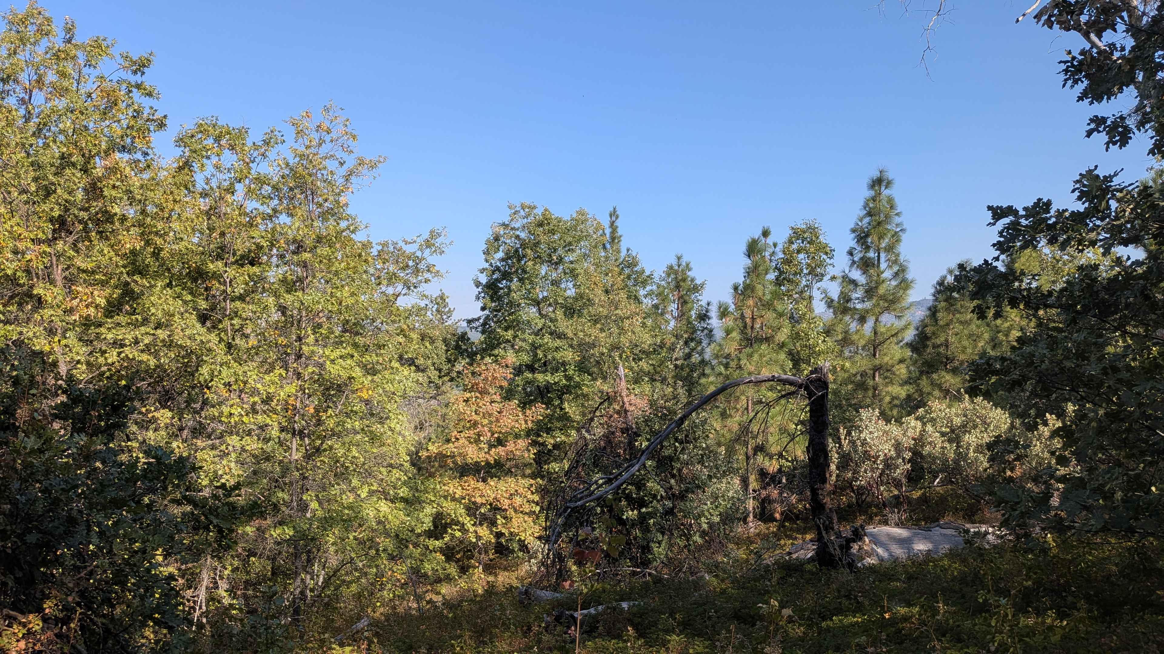
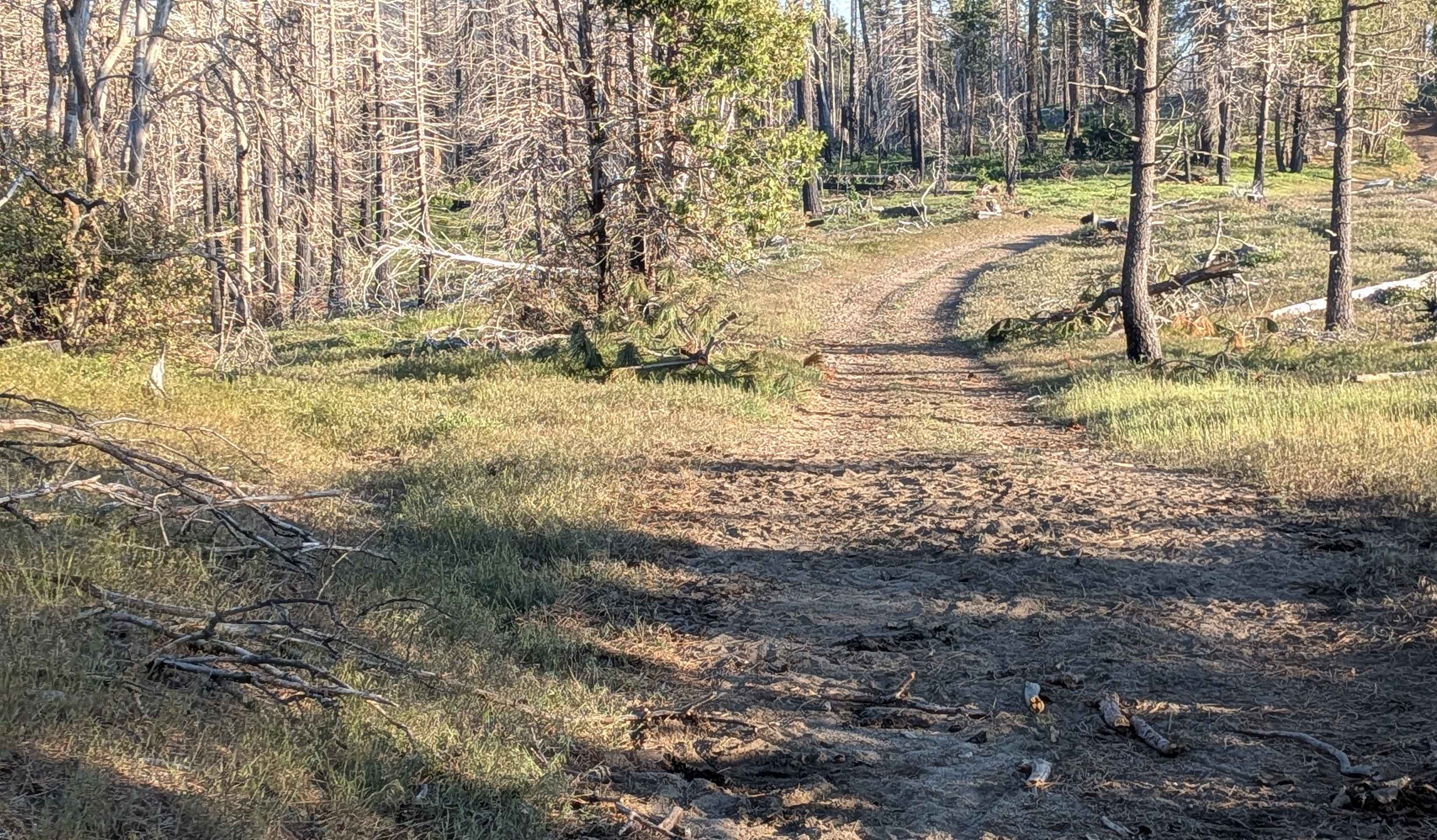
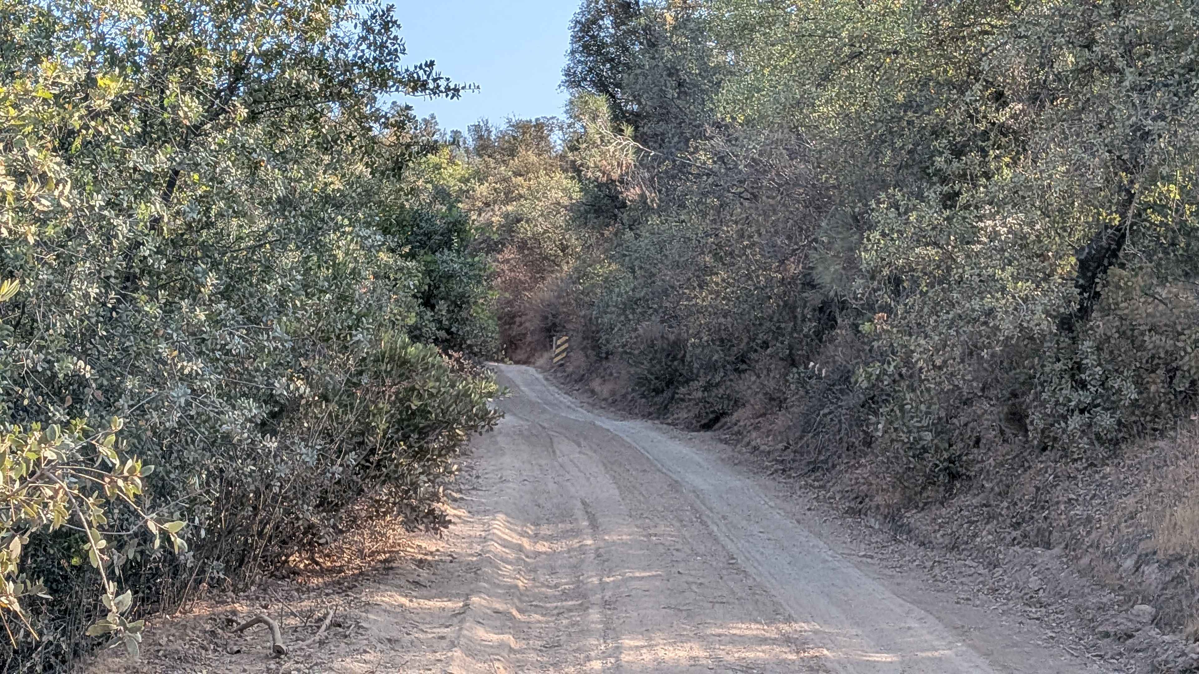
This trail drops almost 400 feet in under 2 miles, beginning from the north entrance with immediate challenges, including ruts from water runoff as the route climbs a small hill. A small downed tree blocks most of the trail early in the journey, though passage is possible around it with the acceptance of vehicle scratches from contact. The very sandy surface maintains a width of 1 to 1.5 vehicles throughout its length, lined with diverse brush, including manzanita bushes and small trees that create natural corridors. The route offers pleasant views of valleys and other hillsides in the distance, providing scenic rewards during the descent. The most significant ongoing challenge comes from overgrown tree branches on the sides and overhead that will contact vehicles throughout the journey, requiring acceptance of brush contact and potential scratching. At mile 0.7, the forest forms a natural canopy over the trail, creating an enclosed tunnel-like driving experience through dense vegetation. Around mile 1 from the north entrance, the trail reaches the junction with Forest Service Road 2S29Y, where ruts appear along with a small log that must be navigated over or around. At mile 1.4, a large downed tree presents a major obstacle, though an established bypass route allows continued passage around this obstruction. Several dispersed camping spots accommodate a couple of vehicles along the trail, providing overnight options for those exploring the area.
Photos of FS 2S41
Difficulty
This trail receives a difficulty rating of 2, indicating easy conditions despite multiple technical challenges. The sandy surface, ruts from water runoff at various locations, small logs requiring navigation, overgrown branches causing unavoidable vehicle contact, and the need to bypass obstacles like downed trees create manageable but consistent challenges throughout the route that require basic off-road awareness and acceptance of vegetation contact.
Status Reports
FS 2S41 can be accessed by the following ride types:
- High-Clearance 4x4
- SUV
- SxS (60")
- ATV (50")
- Dirt Bike
FS 2S41 Map
Popular Trails
Check Me Out
Poso Creek East - FS 26S29
Lower Crowbar
Briceburg Road - FS 2S05
The onX Offroad Difference
onX Offroad combines trail photos, descriptions, difficulty ratings, width restrictions, seasonality, and more in a user-friendly interface. Available on all devices, with offline access and full compatibility with CarPlay and Android Auto. Discover what you’re missing today!