Off-Road Trails in California

Discover off-road trails in California

Learn more about Buck Ranch
Buck Ranch

Buck Ranch

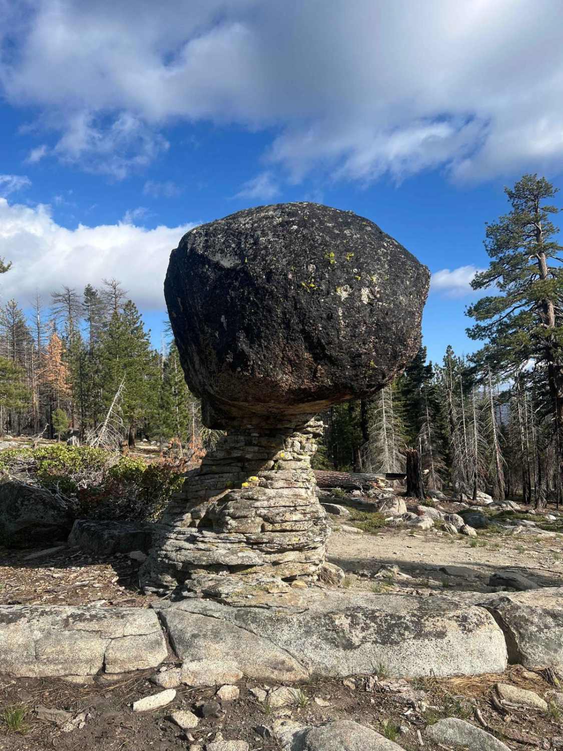
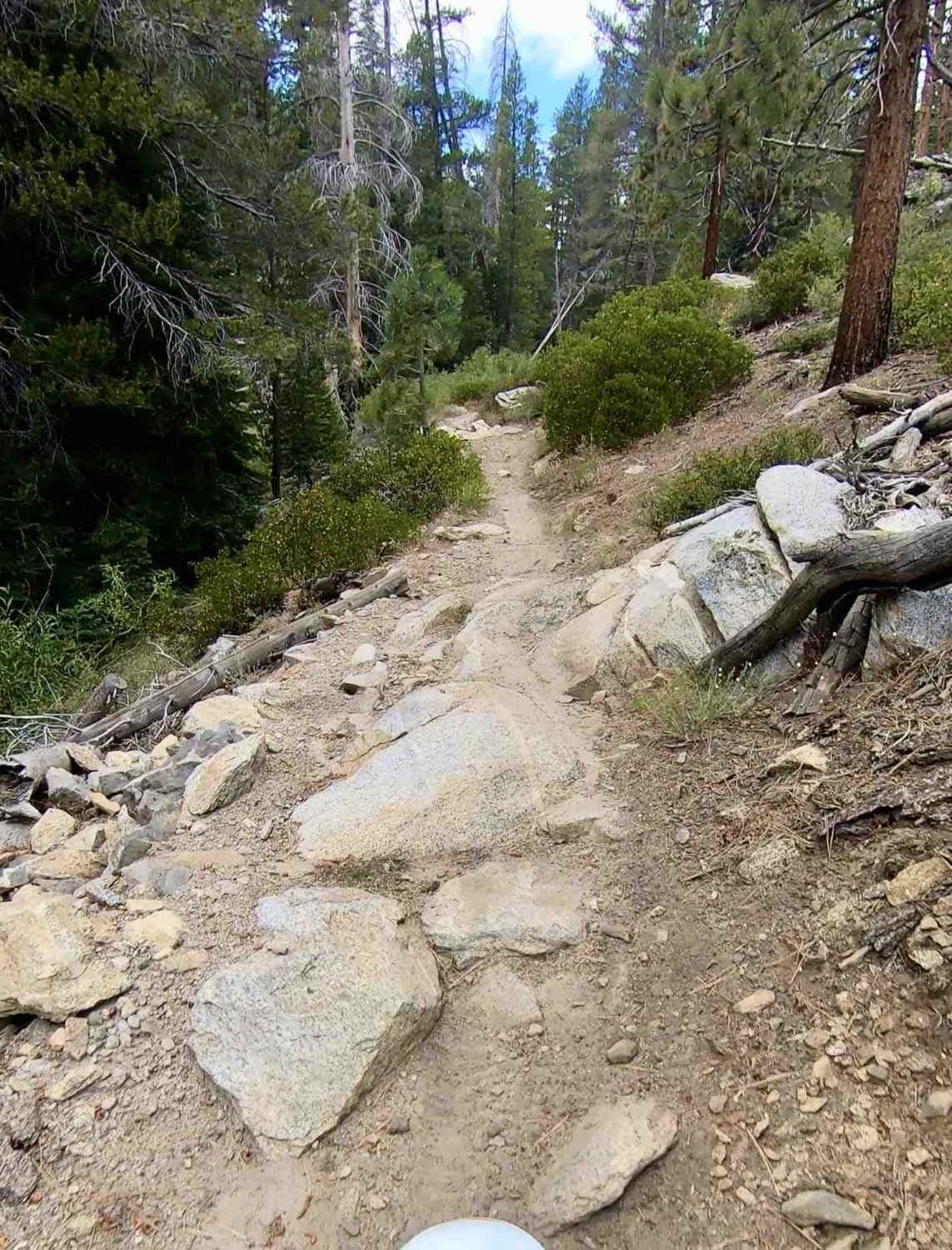
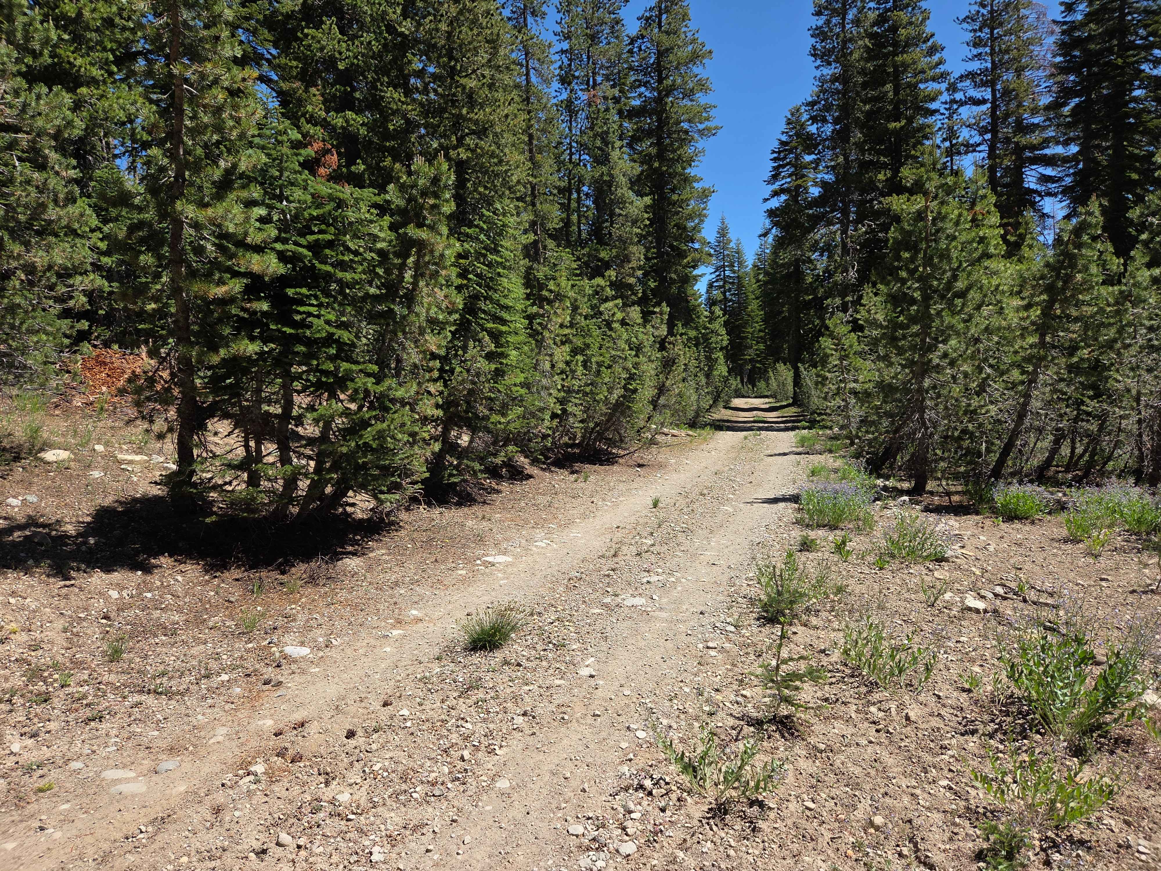
Easy graded logging road in the beginning 1st mile, then it becomes decent rocky terrain, some small climbs, nothing hard. Once you take off from the green route on OnX, this is a really easy…
Learn more about Buck Ranch
Total Miles
3.0
Tech Rating
3 Easy
Best Time
Spring, Summer, Fall
Learn more about Buck Rock Jeep Trail
Buck Rock Jeep Trail

Buck Rock Jeep Trail

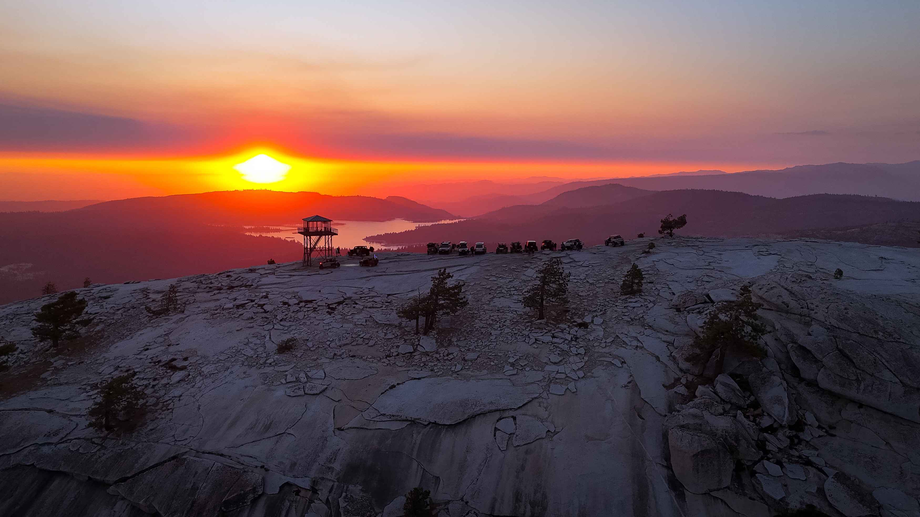
The Buck Rock Jeep Trail is a historical route dating back 100 years and is one of the only real 4x4 trails in the Sequoia/Kings Canyon National Park area that you can actually wheel. "Wheel"…
Learn more about Buck Rock Jeep Trail
Total Miles
4.0
Tech Rating
6 Moderate
Best Time
Summer, Fall
Learn more about Bull Frog
Bull Frog

Bull Frog

Bull Frog Loop Trail is a difficult trail located in the heart of Cougar Buttes. Composed of several different obstacles ranging from hard to extreme that will test the driver and the rig. You will…
Learn more about Bull Frog
Total Miles
1.3
Tech Rating
7 Difficult
Best Time
Spring, Fall, Winter
Learn more about Burned Out Cars Loop
Burned Out Cars Loop

Burned Out Cars Loop

This trail heads out from the staging area to some burned cars that reside by the telephone pole line. One van, right side up, and one car, upside down. Both shot up and burned out.…
Learn more about Burned Out Cars Loop
Total Miles
2.3
Tech Rating
5 Moderate
Best Time
Winter, Fall, Spring
Learn more about Burns Canyon Road - NF 2N02
Burns Canyon Road - NF 2N02

Burns Canyon Road - NF 2N02

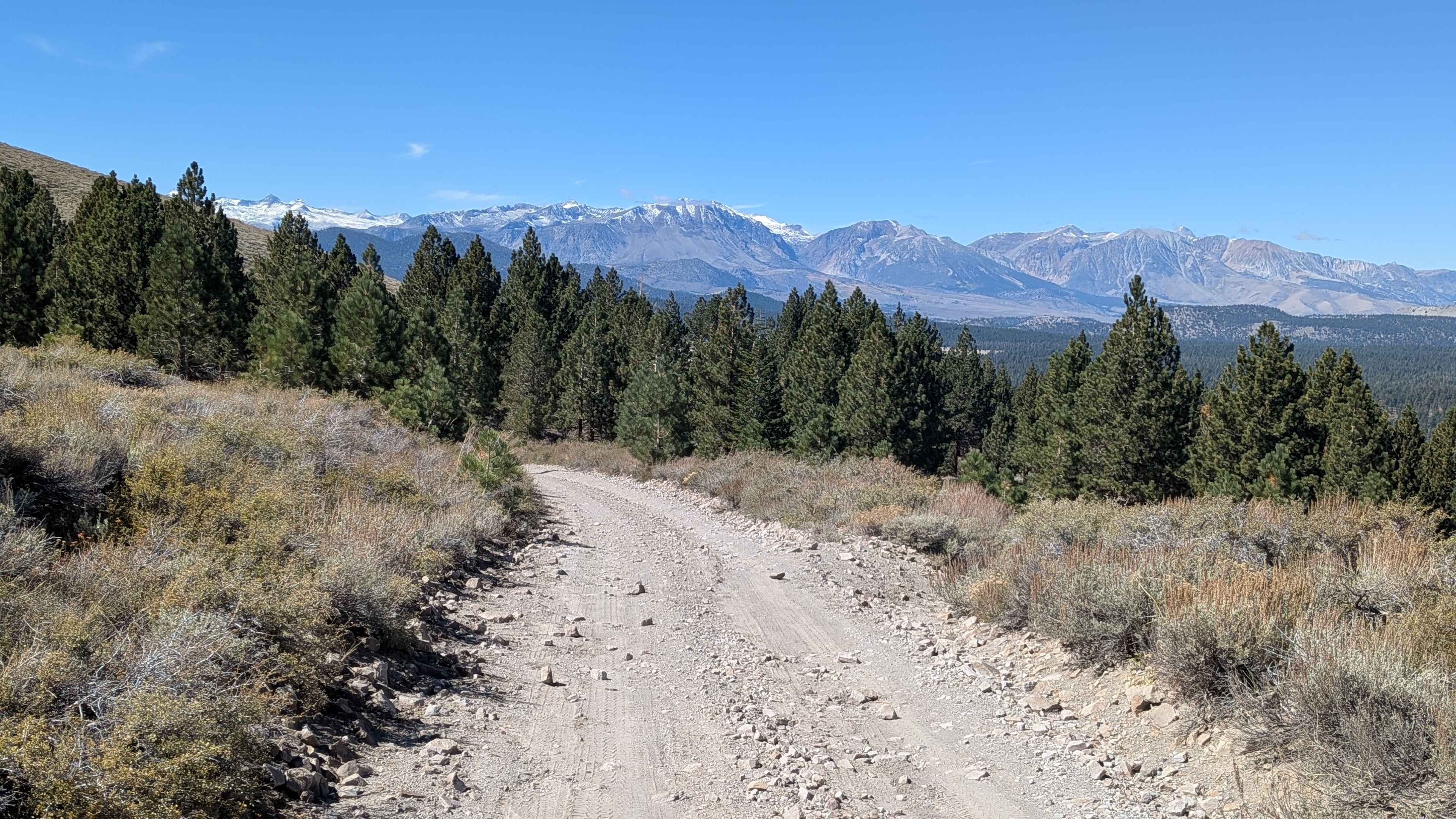
Rugged Forest Service road that connects the East side of Big Bear down through the San Bernardino National Forest to the desert community of Rim Rock. The environment changes from Pine forest to a dense…
Learn more about Burns Canyon Road - NF 2N02
Total Miles
19.6
Tech Rating
4 Moderate
Best Time
Summer, Fall
Learn more about Burnside Lake Road - 31019
Burnside Lake Road - 31019

Burnside Lake Road - 31019

The 5.5-mile out and back dirt road will take you from HWY 88/89 intersection to Burnside Lake. The dirt road is relatively smooth and wide enough for two vehicles to pass. This is a well-traveled…
Learn more about Burnside Lake Road - 31019
Total Miles
5.5
Tech Rating
1 Easy
Best Time
Spring, Summer, Fall
Learn more about Burnt Mill
Burnt Mill

Burnt Mill

Burnt Mill is mainly dirt with potential for rocks and downed trees. This trail is very easy for the most part but expects pinstripes. The first half of the trail is wide and flat. The…
Learn more about Burnt Mill
Total Miles
0.5
Tech Rating
2 Easy
Best Time
Spring, Summer, Fall, Winter
Learn more about Burt Canyon Ridge Overlook
Burt Canyon Ridge Overlook

Burt Canyon Ridge Overlook

This is a beautiful ridge road off of Forest Service Road 22413 that runs along an overlook into Burt Canyon. It dead ends at the end at a plateau with a gorgeous view of the…
Learn more about Burt Canyon Ridge Overlook
Total Miles
0.7
Tech Rating
5 Moderate
Best Time
Summer, Spring, Fall
Learn more about Buttes Pass Road
Buttes Pass Road

Buttes Pass Road

Buttes Pass Road is a 3.6-mile point-to-point trail rated 3 of 10 located within the California Anza-Borrego Desert State Park (ABDSP). Trails within the ABDSP are restricted to street-legal vehicles. Buttes Pass is the primary…
Learn more about Buttes Pass Road
Total Miles
3.6
Tech Rating
3 Easy
Best Time
Spring, Summer, Fall, Winter
Learn more about Calcite Mine
Calcite Mine

Calcite Mine

Short trip, but worth it for experienced riders. Must have a street-legal vehicle in the state park. Climb up to a WWII calcite mine and incredible views of Anza-Borrego State Park and the Salton Sea.…
Learn more about Calcite Mine
Total Miles
1.9
Tech Rating
7 Difficult
Best Time
Fall, Winter, Spring
Learn more about Calcite Mine Road
Calcite Mine Road

Calcite Mine Road

Calcite Mine Road is a 7.6-mile out-and-back trail rated 3 of 10 located within the California Anza-Borrego Desert State Park (ABDSP). Trails within the ABDSP are restricted to street-legal vehicles. The Calcite Mine Road trailhead…
Learn more about Calcite Mine Road
Total Miles
1.9
Tech Rating
3 Easy
Best Time
Spring, Fall, Summer
Learn more about Camp Wolfeboro
Camp Wolfeboro

Camp Wolfeboro

This is a roughly graded gravel road that is maintained by the Camp Wolfeboro volunteers. It will take you down to a very primitive campground, Sand Flat, along the North Fork of the Stanislaus River…
Learn more about Camp Wolfeboro
Total Miles
2.2
Tech Rating
2 Easy
Best Time
Spring, Summer, Fall
Learn more about Camuesa & Buckhorn OHV
Camuesa & Buckhorn OHV

Camuesa & Buckhorn OHV

Camuesa & Buckhorn OHV is a stunning route high up in the San Rafael Mountains, providing awesome views into Los Padres NF and the Lake Cachuma foothills. This forest route is accessed via the Upper…
Learn more about Camuesa & Buckhorn OHV
Total Miles
13.9
Tech Rating
3 Easy
Best Time
Spring, Summer, Fall
Learn more about Candy Rock Road
Candy Rock Road

Candy Rock Road

As of May 26, 2023. This road is accessible by vehicles of higher clearance than sedans. This is due to the fire road are not as flat and maintained as Google Maps makes it out…
Learn more about Candy Rock Road
Total Miles
1.1
Tech Rating
2 Easy
Best Time
Spring, Summer, Fall
Learn more about Candy Rock Road P.2
Candy Rock Road P.2

Candy Rock Road P.2

As of May 26, 2023. This road is accessible by vehicles of higher clearance than sedans. This is because the fire roads are not as flat and maintained as Google Maps makes them out to…
Learn more about Candy Rock Road P.2
Total Miles
1.3
Tech Rating
2 Easy
Best Time
Spring, Summer
Learn more about Canyon Sin Nombre
Canyon Sin Nombre

Canyon Sin Nombre

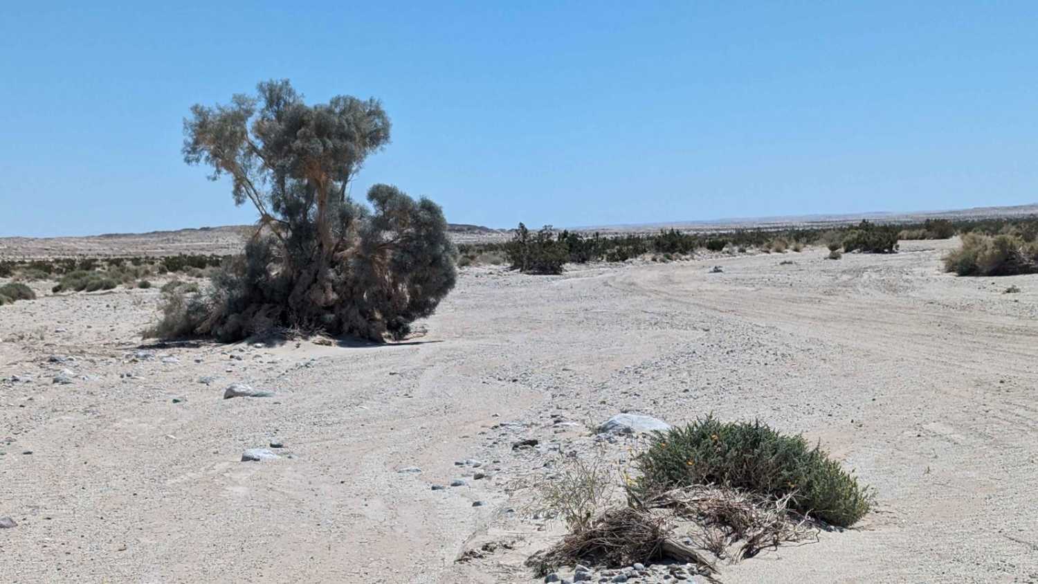
Street-legal vehicles only on this winding route through Canyon Sin Nombre, a great spot for unique geologic features. Follow the sandy washes on to the Butterfield Stage Route. Near the end of the route you…
Learn more about Canyon Sin Nombre
Total Miles
11.5
Tech Rating
4 Easy
Best Time
Fall, Winter, Spring
Learn more about Carrizo Canyon
Carrizo Canyon

Carrizo Canyon

Carrizo Canyon is a 13.2-mile out-and-back trail rated 3 of 10 within the California Anza-Borrego Desert State Park. Street-legal vehicles are only allowed off-road within the ABDSP. Carrizo Canyon starts at State Road 2 (S2)…
Learn more about Carrizo Canyon
Total Miles
6.7
Tech Rating
3 Easy
Best Time
Spring, Summer, Fall, Winter
Learn more about Carrizo Creek
Carrizo Creek

Carrizo Creek

Carrizo Creek is a 6.4-mile out-and-back trail rated 3 of 10 within the California Anza-Borrego Desert State Park. Offroad travel within the state park is restricted to street-legal vehicles. Carrizo Creek can only be accessed…
Learn more about Carrizo Creek
Total Miles
3.2
Tech Rating
3 Easy
Best Time
Spring, Summer, Fall, Winter
Learn more about Carrizo Mountain
Carrizo Mountain

Carrizo Mountain

The Carrizo Mountain trail is an out-and-back trip to the top of Carrizo Mountain, which is surrounded by the Coyote Mountains Wilderness Area. The trail starts with a leisurely drive through scenic Painted Gorge Canyon…
Learn more about Carrizo Mountain
Total Miles
4.4
Tech Rating
4 Moderate
Best Time
Fall, Winter
Learn more about Cement Creek
Cement Creek

Cement Creek

This trail has great views throughout with a spectacular view of Lake Berryessa at its highest elevation point. Expect to drive dirt, gravel and mud along the out and back trail. There are also many…
Learn more about Cement Creek
Total Miles
12.2
Tech Rating
3 Easy
Best Time
Fall
1 2 3 4 5 6 7 8 9 10 11 ... 31

Go Farther

Try onX Offroad Elite for free for a week — no strings attached. Get access to thousands of off-road dirt trails and snowmobile trails across the nation. View your favorite zones in 3D. Send trails to friends. Start planning the trip of a lifetime now.