Bartlett Springs Road
Total Miles
10.1
Technical Rating
Best Time
Fall, Summer, Spring, Winter
Trail Type
Full-Width Road
Accessible By
Trail Overview
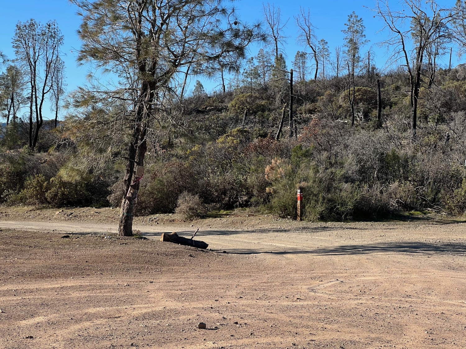
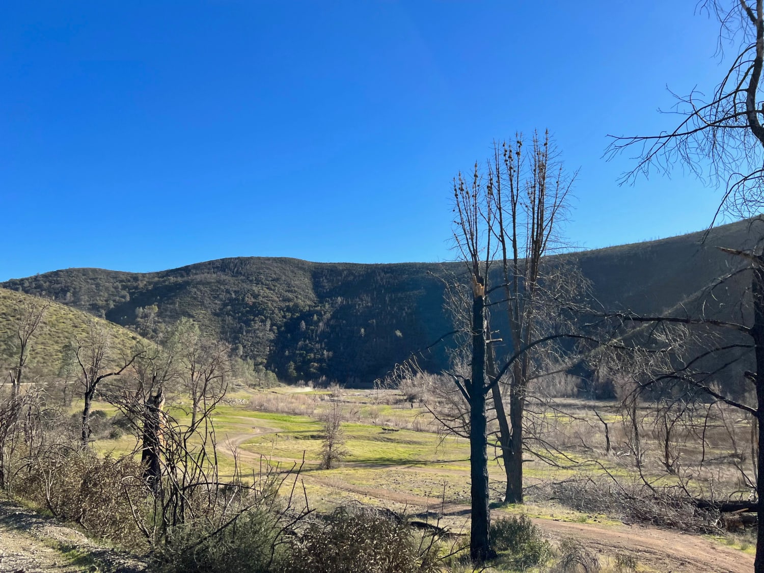
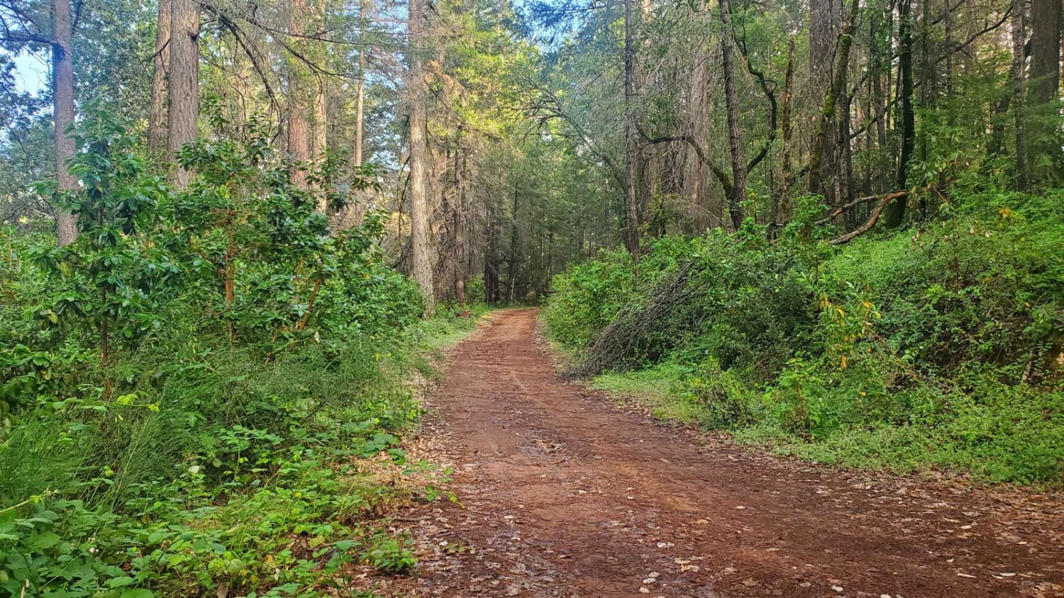
Bartlett Springs Road begins southeast of Mendocino National Forest and boasts excellent views. This route passes through BLM land, and there are plenty of offshoots from the trail. There are also opportunities for camping, hiking, mountain biking, fishing, hunting, and recreational shooting. Cell signal is limited throughout the area, so downloading maps is recommended. The road is somewhat maintained; however, it is highly rutted and rocky, and there is one small water crossing.
Photos of Bartlett Springs Road
Difficulty
This route is windy in many areas and some portions are only wide enough for one vehicle. The road is somewhat rough and has some large holes that may fill with water following rain. The dirt is loose and rocky in many areas. There is also one water crossing.
Status Reports
Bartlett Springs Road can be accessed by the following ride types:
- High-Clearance 4x4
- SUV
- SxS (60")
- ATV (50")
- Dirt Bike
Bartlett Springs Road Map
Popular Trails
Briggs Camp
Tanglefoot Canyon
3N69 Gold Mountain
The onX Offroad Difference
onX Offroad combines trail photos, descriptions, difficulty ratings, width restrictions, seasonality, and more in a user-friendly interface. Available on all devices, with offline access and full compatibility with CarPlay and Android Auto. Discover what you’re missing today!
