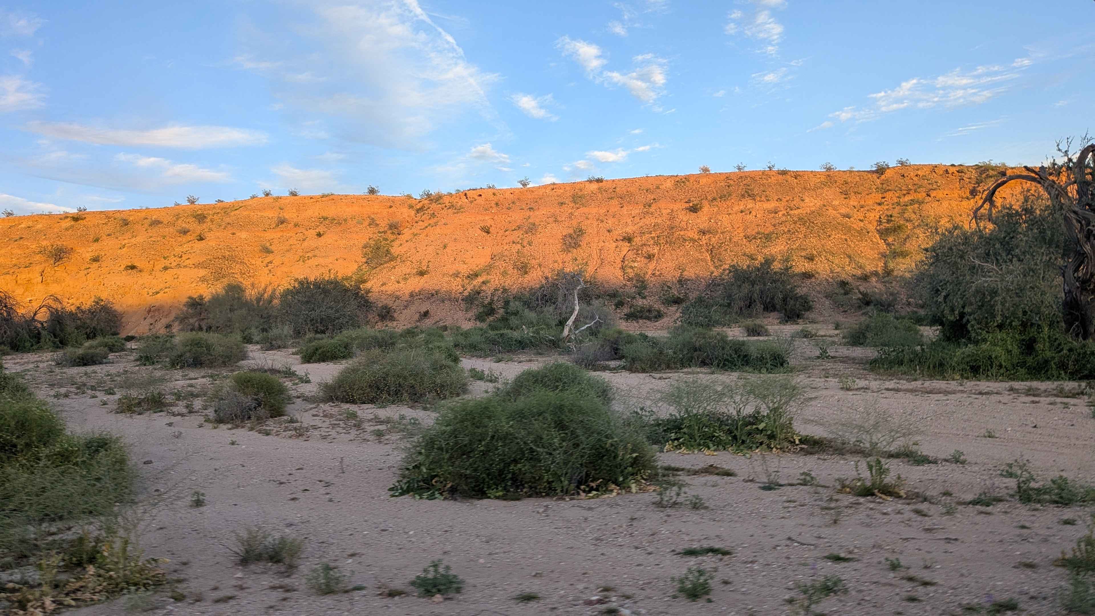
Off-Road Trails in California
Discover off-road trails in California
Learn more about American Camp Lookout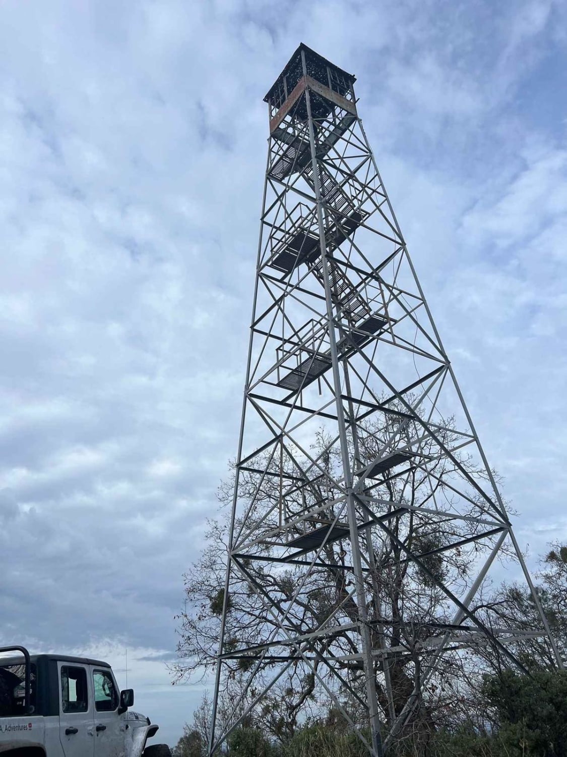
American Camp Lookout
Total Miles
9.1
Tech Rating
Easy
Best Time
Summer, Spring, Fall
Learn more about American Girl Mine Overlook
American Girl Mine Overlook
Total Miles
2.1
Tech Rating
Moderate
Best Time
Spring, Fall, Winter
Learn more about American Hill Mine
American Hill Mine
Total Miles
3.0
Tech Rating
Easy
Best Time
Spring, Summer, Fall
Learn more about American Hill Mine Spur
American Hill Mine Spur
Total Miles
0.4
Tech Rating
Easy
Best Time
Spring, Summer, Fall
Learn more about American Hill Trail
American Hill Trail
Total Miles
3.8
Tech Rating
Easy
Best Time
Spring, Summer, Fall
Learn more about American Hill Trail Spur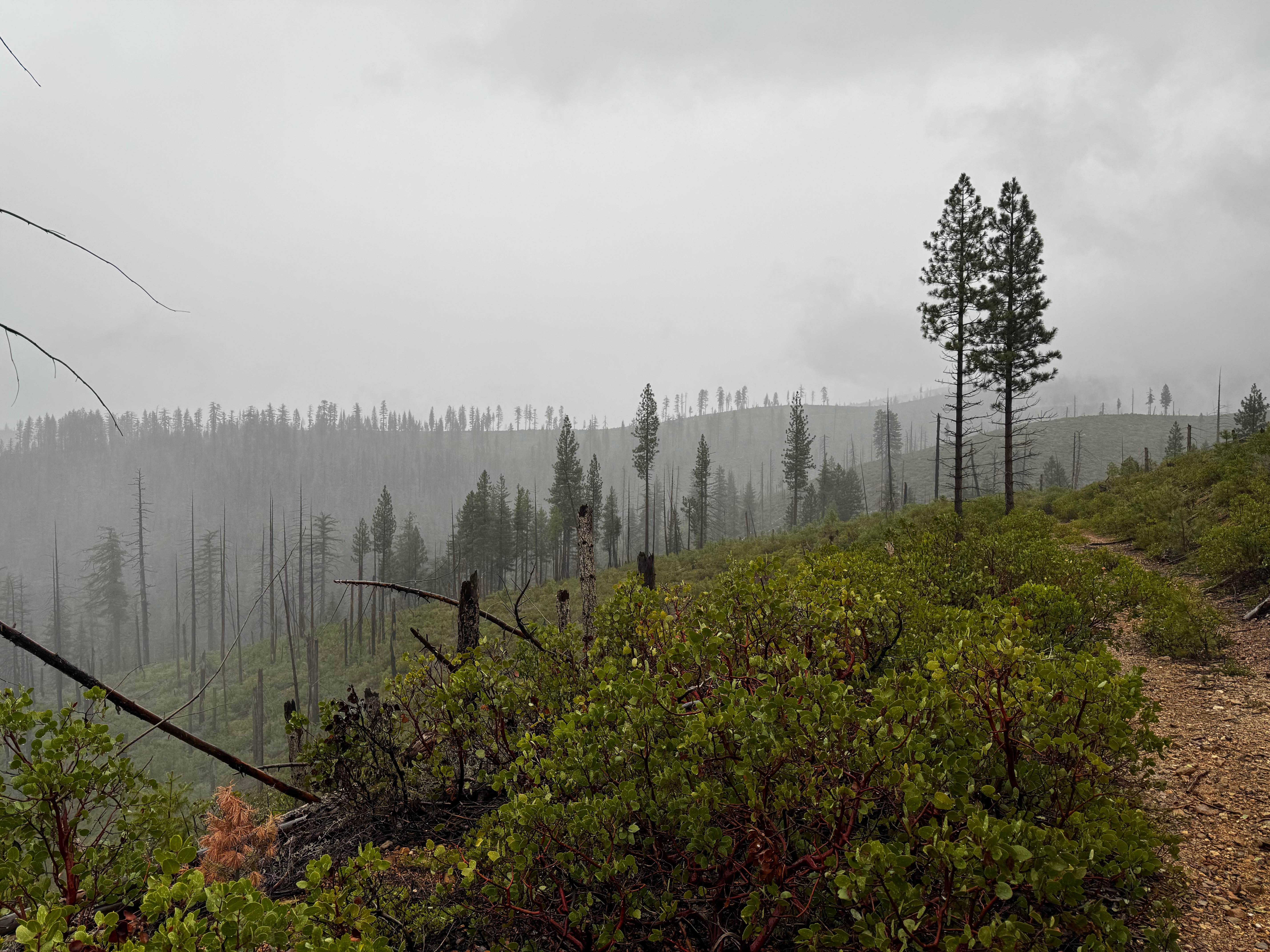
American Hill Trail Spur
Total Miles
0.3
Tech Rating
Easy
Best Time
Spring, Summer, Fall
Learn more about Annex Sale - FS 7S062Y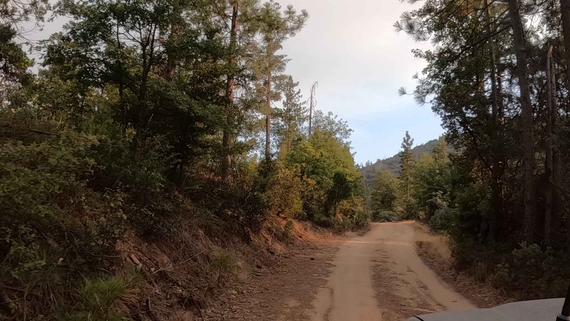
Annex Sale - FS 7S062Y
Total Miles
2.5
Tech Rating
Easy
Best Time
Summer, Fall
Learn more about Another Way Around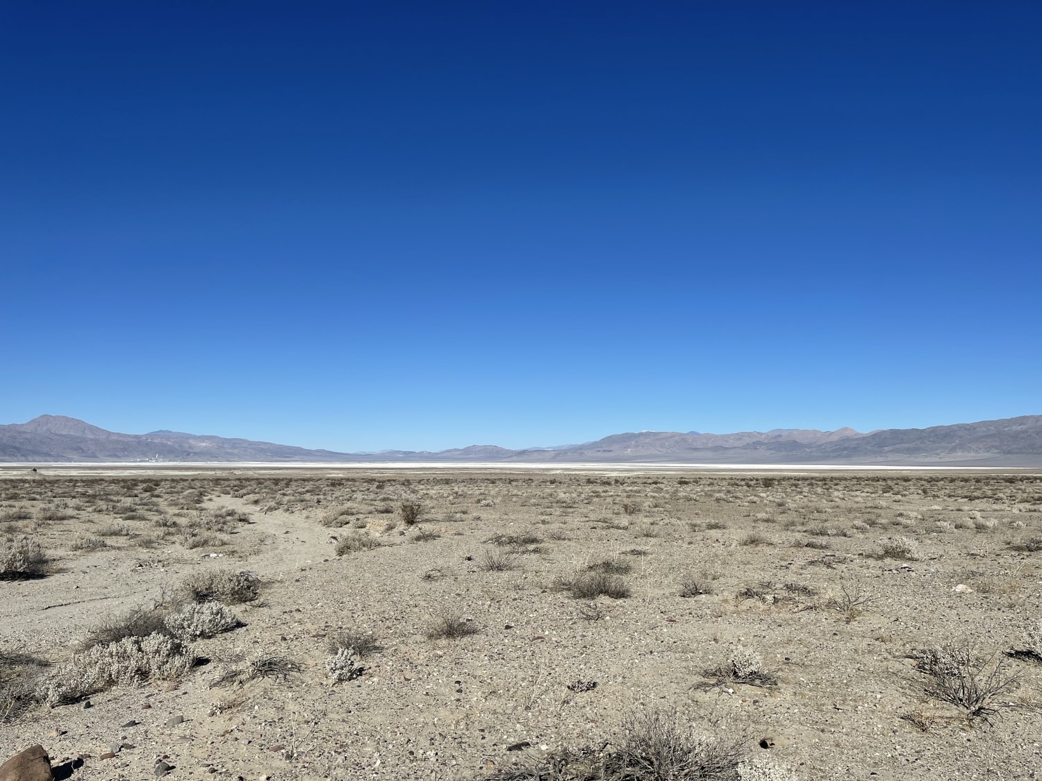
Another Way Around
Total Miles
2.3
Tech Rating
Easy
Best Time
Winter, Fall, Spring
Learn more about Antelope Bench - FS3S06
Antelope Bench - FS3S06
Total Miles
11.2
Tech Rating
Easy
Best Time
Summer, Fall, Spring
Learn more about Antelope Cutoff - FS 3S13
Antelope Cutoff - FS 3S13
Total Miles
3.2
Tech Rating
Easy
Best Time
Summer, Fall, Spring
Learn more about Antelope Mountain - FS3S12
Antelope Mountain - FS3S12
Total Miles
3.7
Tech Rating
Easy
Best Time
Spring, Summer, Fall
Learn more about Antelope Springs Road
Antelope Springs Road
Total Miles
4.2
Tech Rating
Easy
Best Time
Spring, Summer, Fall
Learn more about Antelope Springs Road West
Antelope Springs Road West
Total Miles
4.5
Tech Rating
Easy
Best Time
Spring, Summer, Fall
Learn more about Aquaduct Road 2 Highway 178 North LA1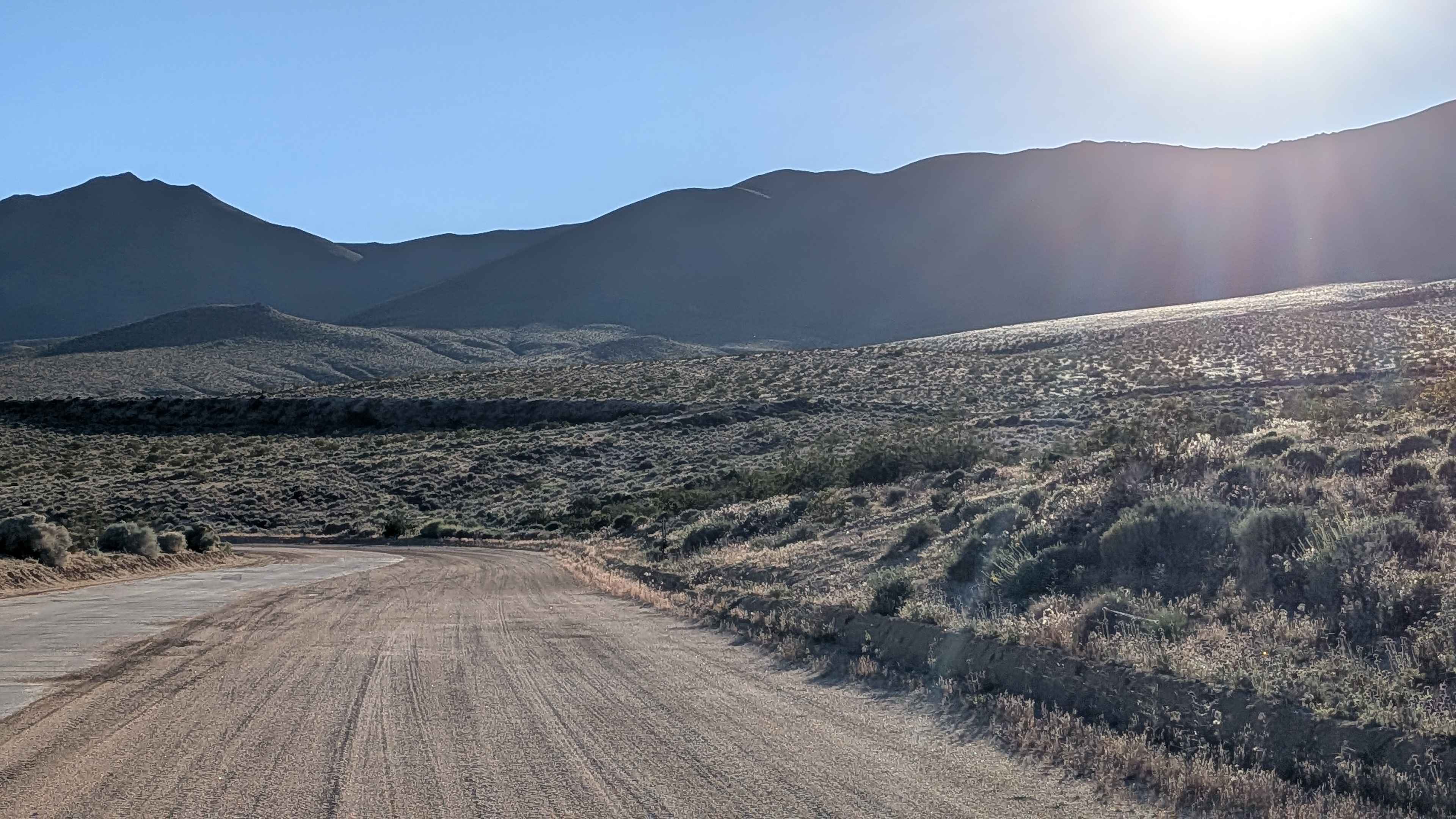
Aquaduct Road 2 Highway 178 North LA1
Total Miles
6.7
Tech Rating
Easy
Best Time
Fall, Summer, Spring
Learn more about Aquaduct Service Road Grapevine - BLM LA1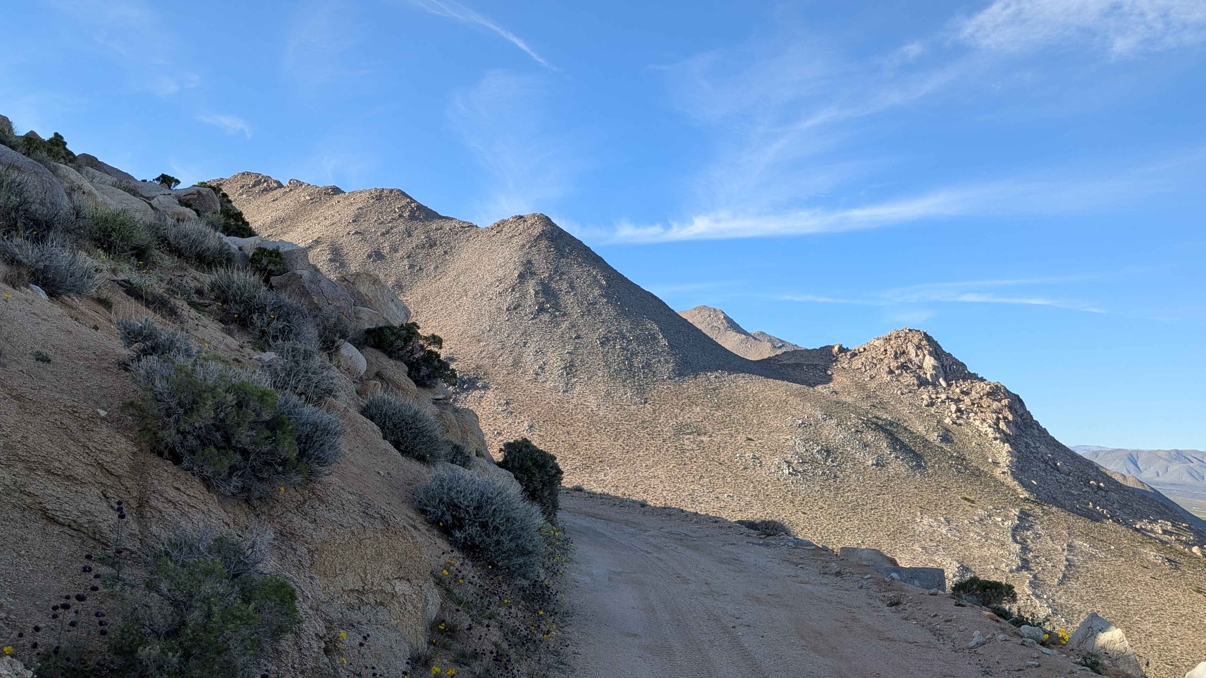
Aquaduct Service Road Grapevine - BLM LA1
Total Miles
5.2
Tech Rating
Easy
Best Time
Fall, Summer, Spring
Learn more about Aquaduct Service Road Grapevine Canyon - BLM LA2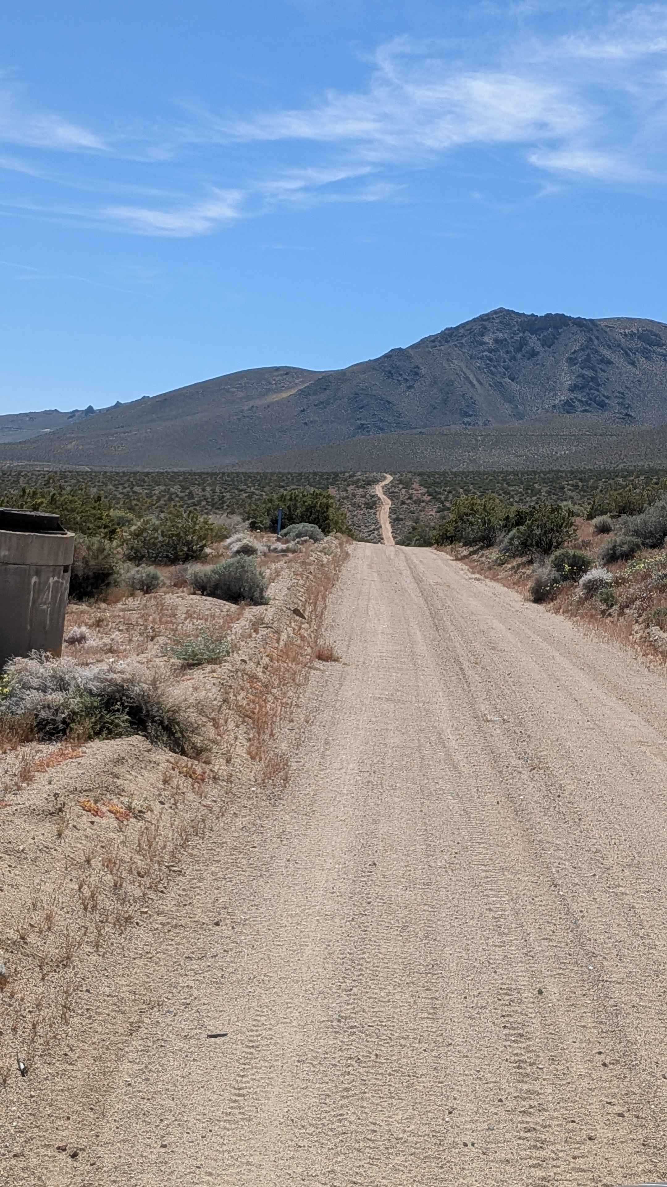
Aquaduct Service Road Grapevine Canyon - BLM LA2
Total Miles
5.0
Tech Rating
Easy
Best Time
Summer, Fall, Spring
Learn more about Aqueduct Service Double Canyon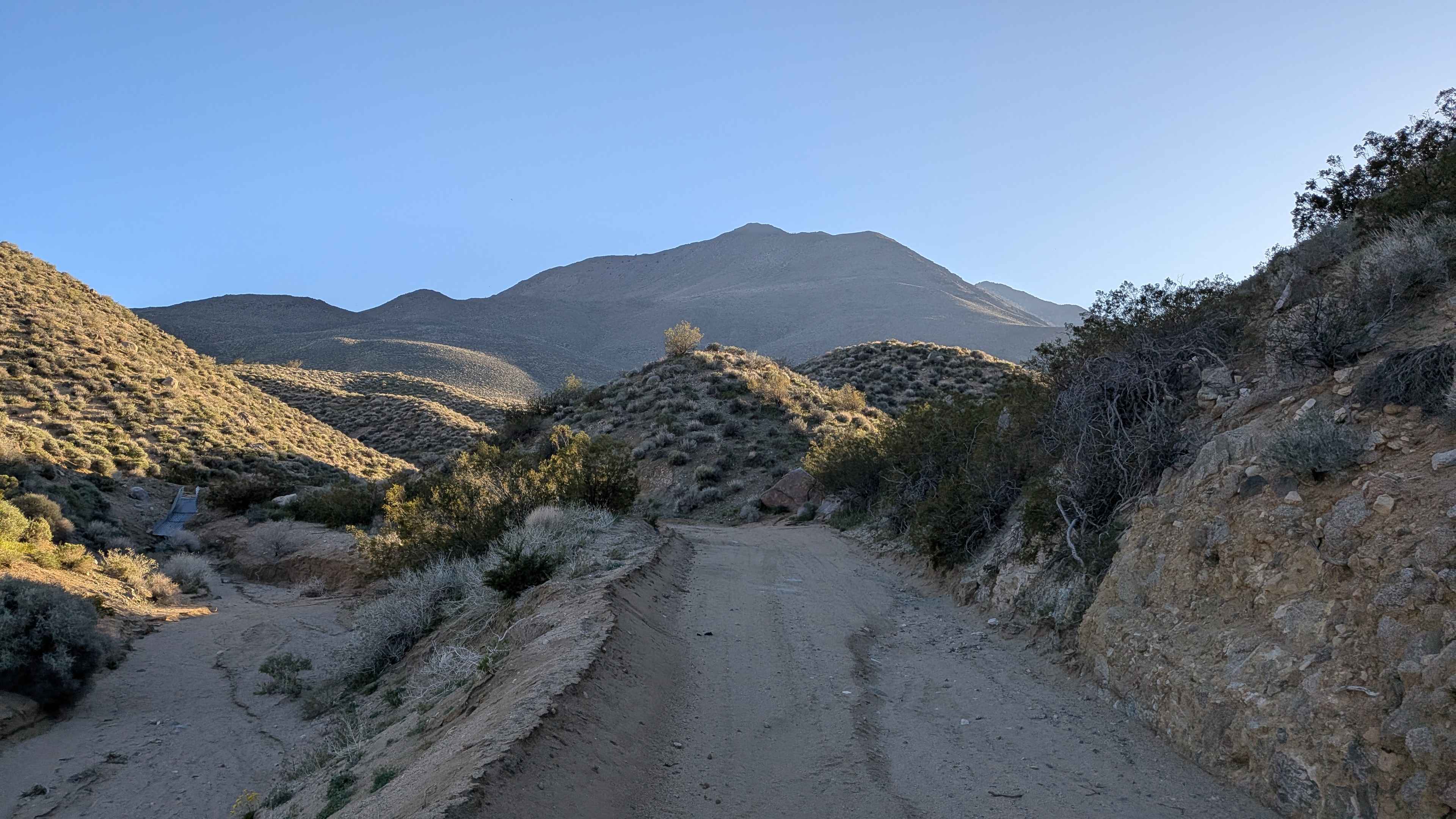
Aqueduct Service Double Canyon
Total Miles
2.5
Tech Rating
Easy
Best Time
Fall, Summer, Spring
Learn more about Aqueduct Service No name Canyon
Aqueduct Service No name Canyon
Total Miles
4.5
Tech Rating
Easy
Best Time
Fall, Summer, Spring
Learn more about Aqueduct Service Road Deadfoot Canyon
Aqueduct Service Road Deadfoot Canyon
Total Miles
4.8
Tech Rating
Easy
Best Time
Fall, Summer, Spring
ATV trails in California


UTV/side-by-side trails in California


Learn more about 3N267 Fenner Saddle (4N12)
3N267 Fenner Saddle (4N12)
Total Miles
3.8
Tech Rating
Difficult
Best Time
Spring, Summer, Fall, Winter

The onX Offroad Difference
onX Offroad combines trail photos, descriptions, difficulty ratings, width restrictions, seasonality, and more in a user-friendly interface. Available on all devices, with offline access and full compatibility with CarPlay and Android Auto. Discover what you’re missing today!