Antelope Springs Road West
Total Miles
4.5
Technical Rating
Best Time
Spring, Summer, Fall
Trail Type
Full-Width Road
Accessible By
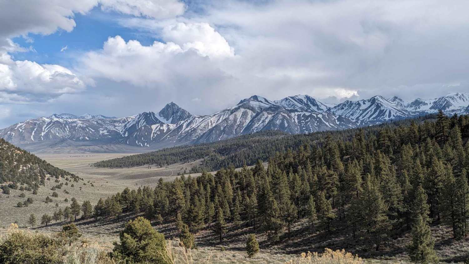
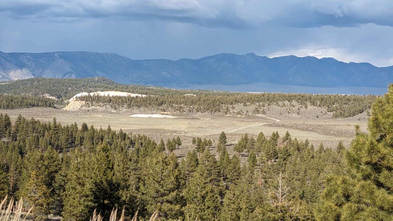
Trail Overview
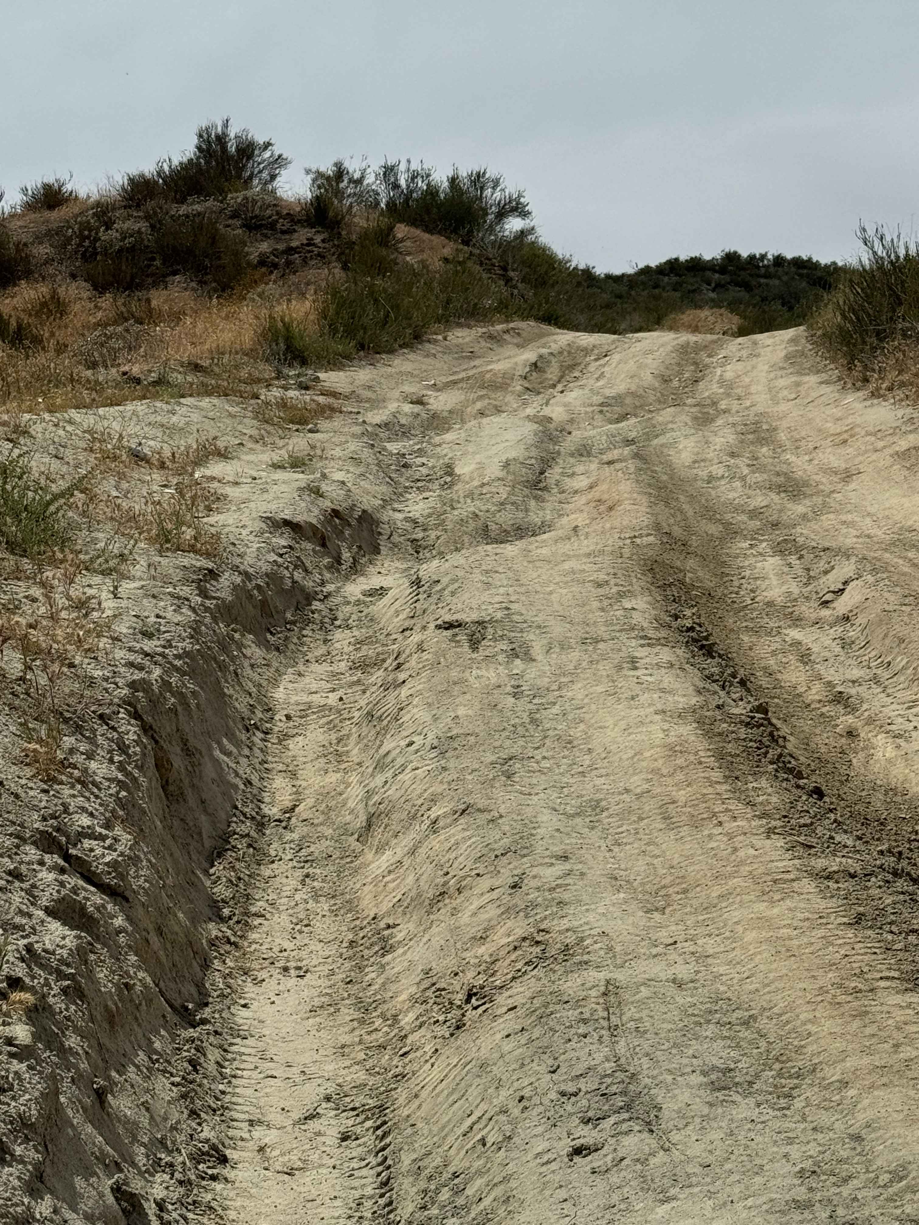
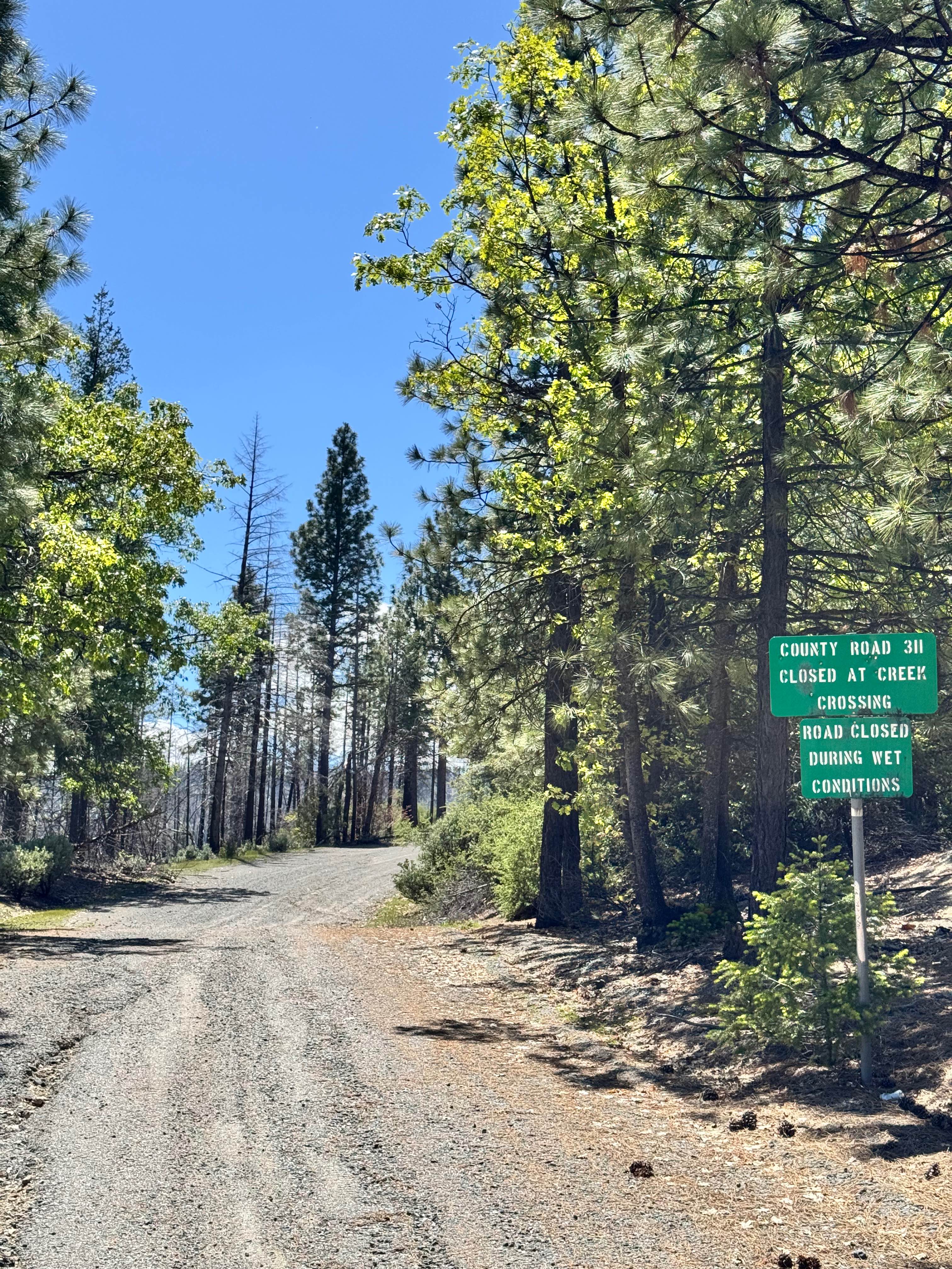
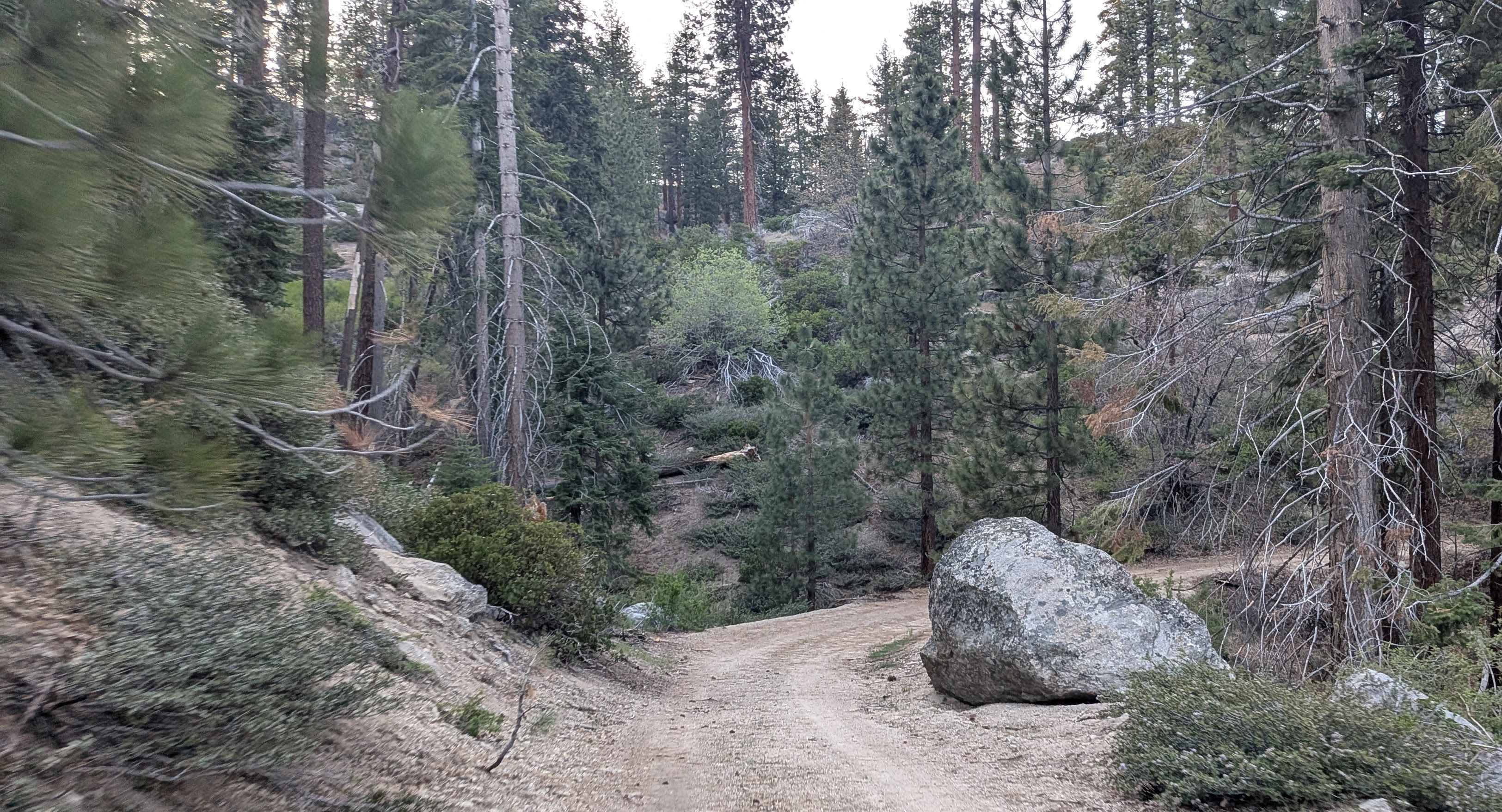
Antelope Springs Road starts in LAWP land. It passes the Magma Geothermal plant, and then it enters Inyo National Forest. It climbs 300 feet and then drops almost 500 feet. The road is mostly fine sandy dirt. There are many uneven sections, tree roots, holes, and small rocks. The Forest Service does grade the road at times. It can be rougher in the spring right after the snow melts and later in the season from heavy use. There are various sections where the trail runs along cliffs. These spots are wide enough for two vehicles to pass but can be bumpy and rough. Use caution. It does give stunning views of the valleys below as well as the Eastern Sierra and White Mountains. There are many side trails to explore.
Photos of Antelope Springs Road West
Difficulty
Hazards include uneven grades, ruts, small sharp rocks, other traffic, low visibility due to dust, and cliffside drop-offs.
Status Reports
Antelope Springs Road West can be accessed by the following ride types:
- High-Clearance 4x4
- SUV
- SxS (60")
- ATV (50")
- Dirt Bike
Antelope Springs Road West Map
Popular Trails

Dry Creek Knoll
Packsaddle - FS 23S26
The onX Offroad Difference
onX Offroad combines trail photos, descriptions, difficulty ratings, width restrictions, seasonality, and more in a user-friendly interface. Available on all devices, with offline access and full compatibility with CarPlay and Android Auto. Discover what you’re missing today!