Another Way Around
Total Miles
2.3
Technical Rating
Best Time
Winter, Fall, Spring
Trail Type
Full-Width Road
Accessible By
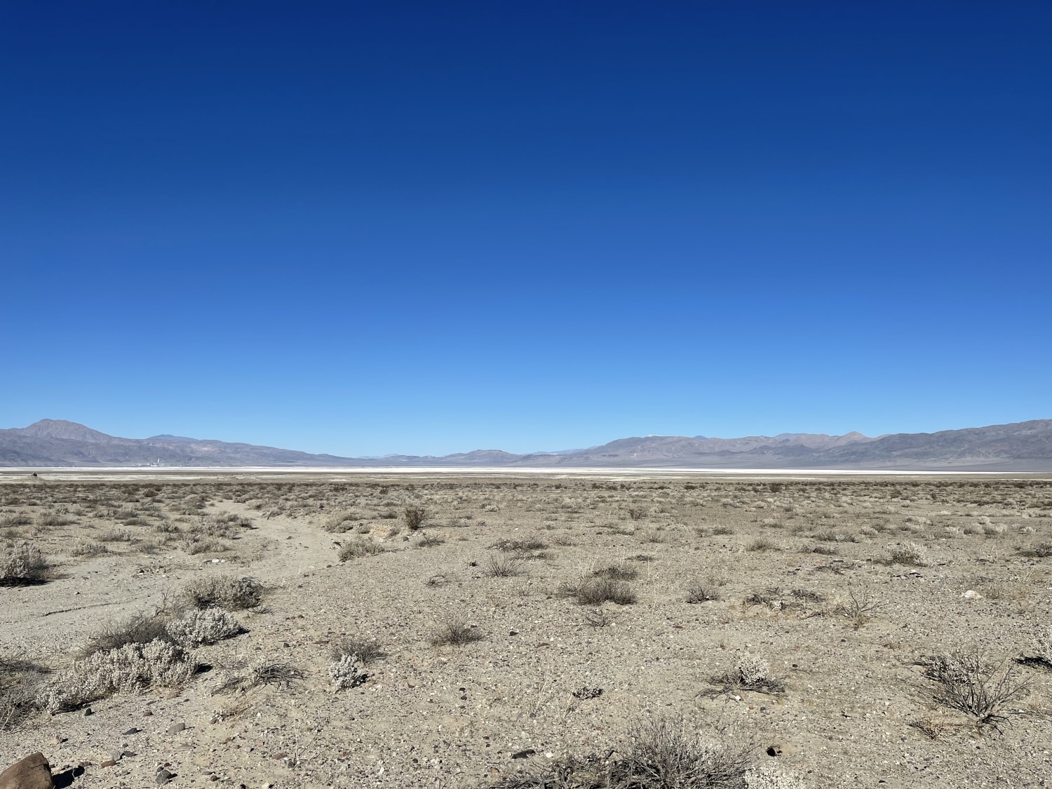
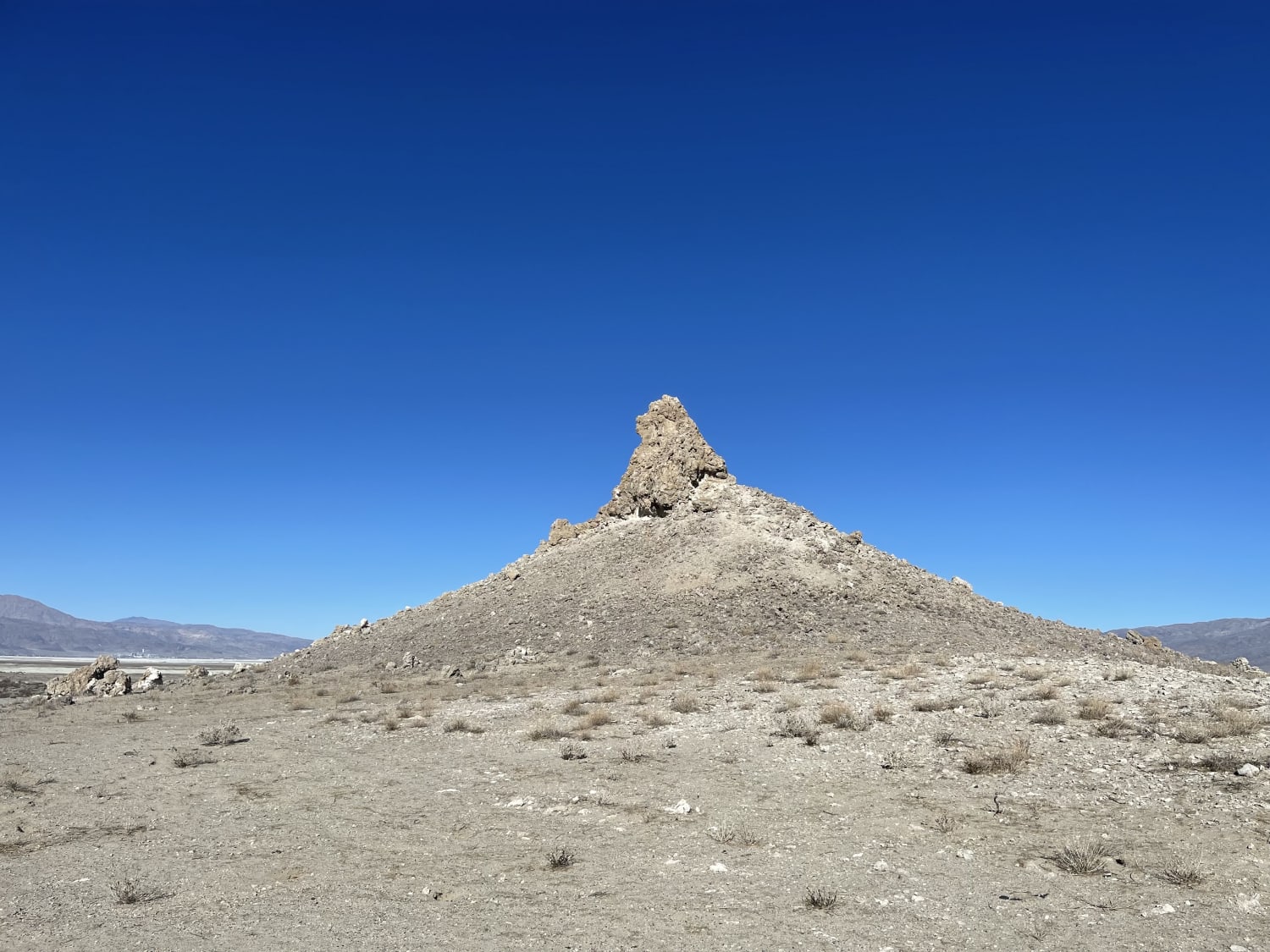
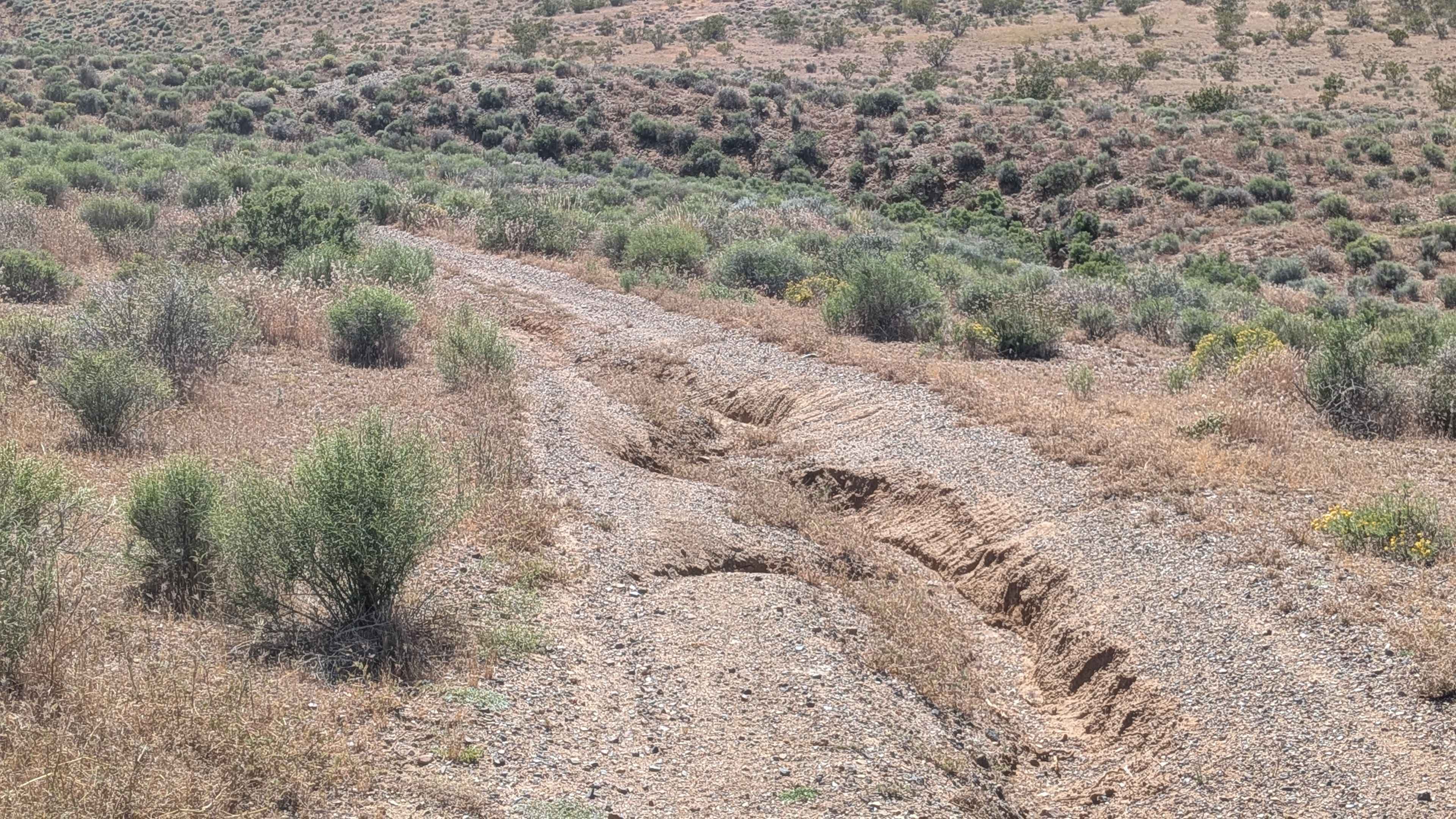
Trail Overview
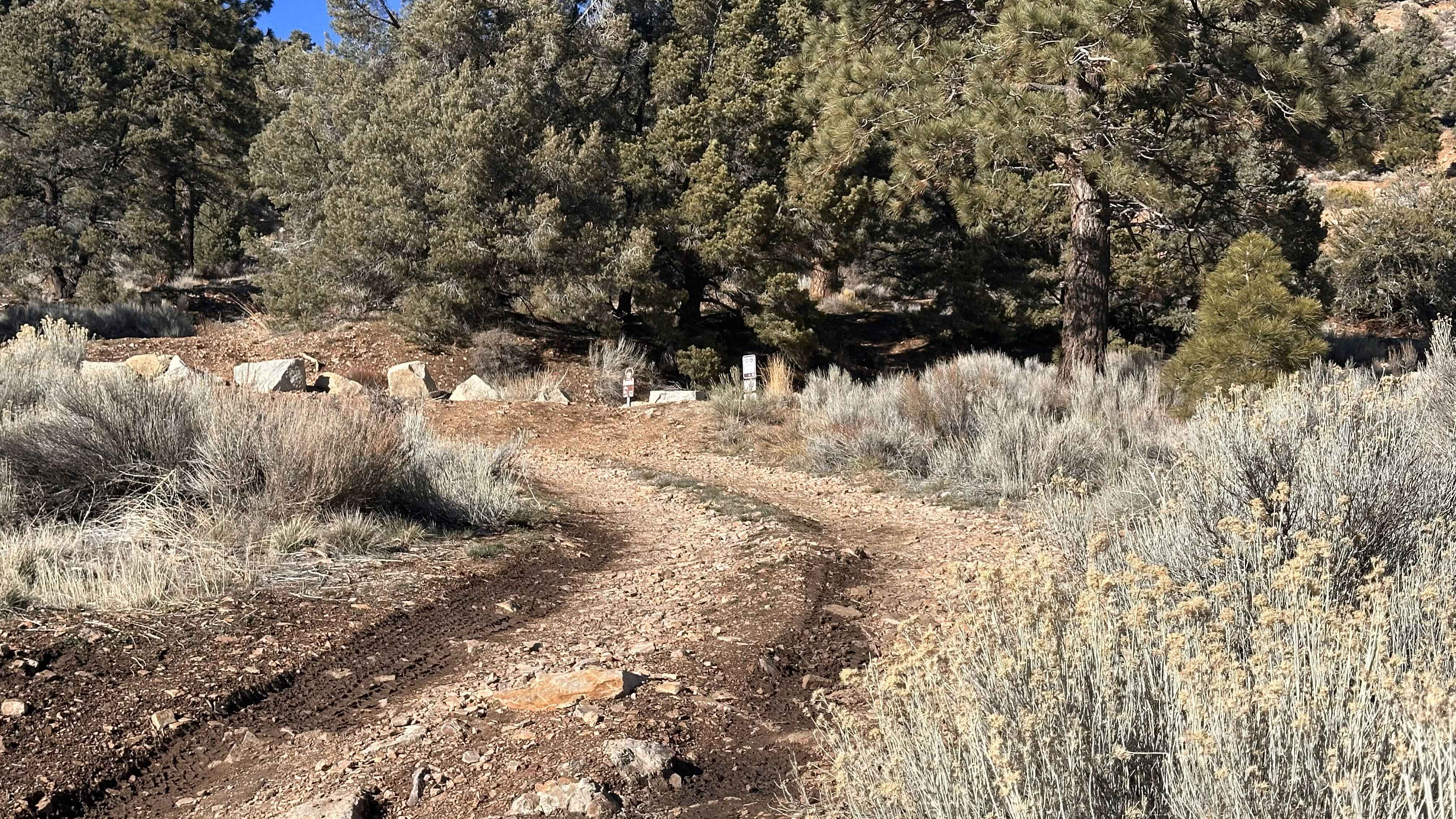
A quick pop around the side of pinnacles out to the network of trails beyond. The trail is somewhat sandy with a few small steep hills, washouts, and very sharp rocks. One should take care not to inflict sidewall damage. The trail passes by a few of the pinnacles and has some nice dispersed camping spots if you are trying to stay away from the crowds. Mostly easy with a few more technical sections. 2 bars of LTE Verizon service.
Photos of Another Way Around
Difficulty
Mostly Sandy with some steeper sections
Status Reports
Another Way Around can be accessed by the following ride types:
- High-Clearance 4x4
- SUV
- SxS (60")
- ATV (50")
- Dirt Bike
Another Way Around Map
Popular Trails
Pickett Peak Road 31053
Gold Mountain - FS 3N69

Barbecue - FS 8S056
The onX Offroad Difference
onX Offroad combines trail photos, descriptions, difficulty ratings, width restrictions, seasonality, and more in a user-friendly interface. Available on all devices, with offline access and full compatibility with CarPlay and Android Auto. Discover what you’re missing today!