Wolfe Well Road
Total Miles
3.9
Technical Rating
Best Time
Summer, Spring, Fall, Winter
Trail Type
Full-Width Road
Accessible By
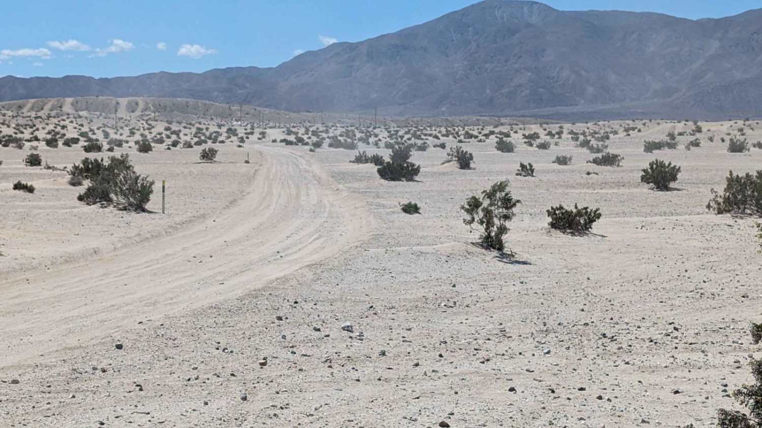
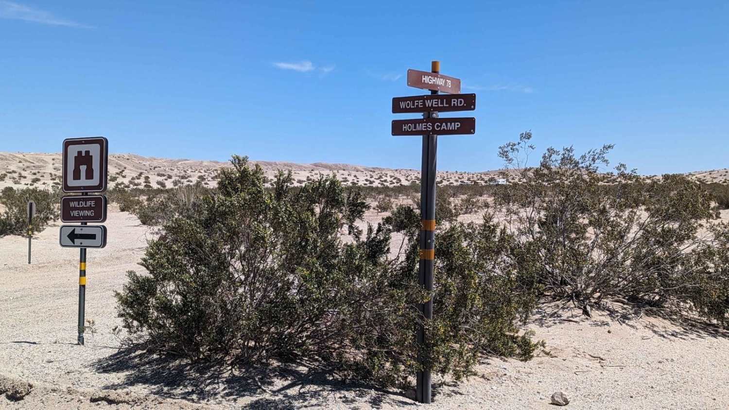
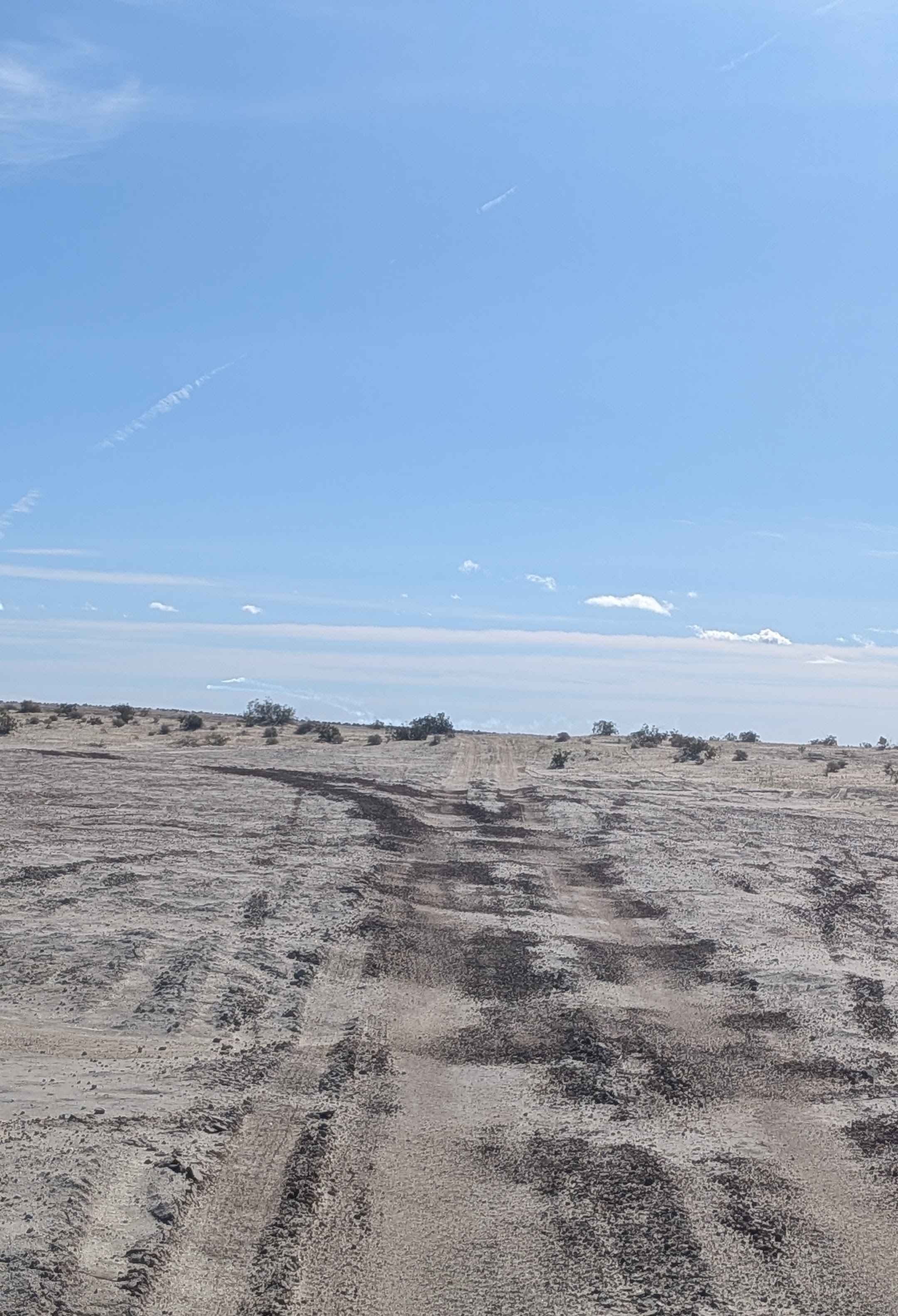
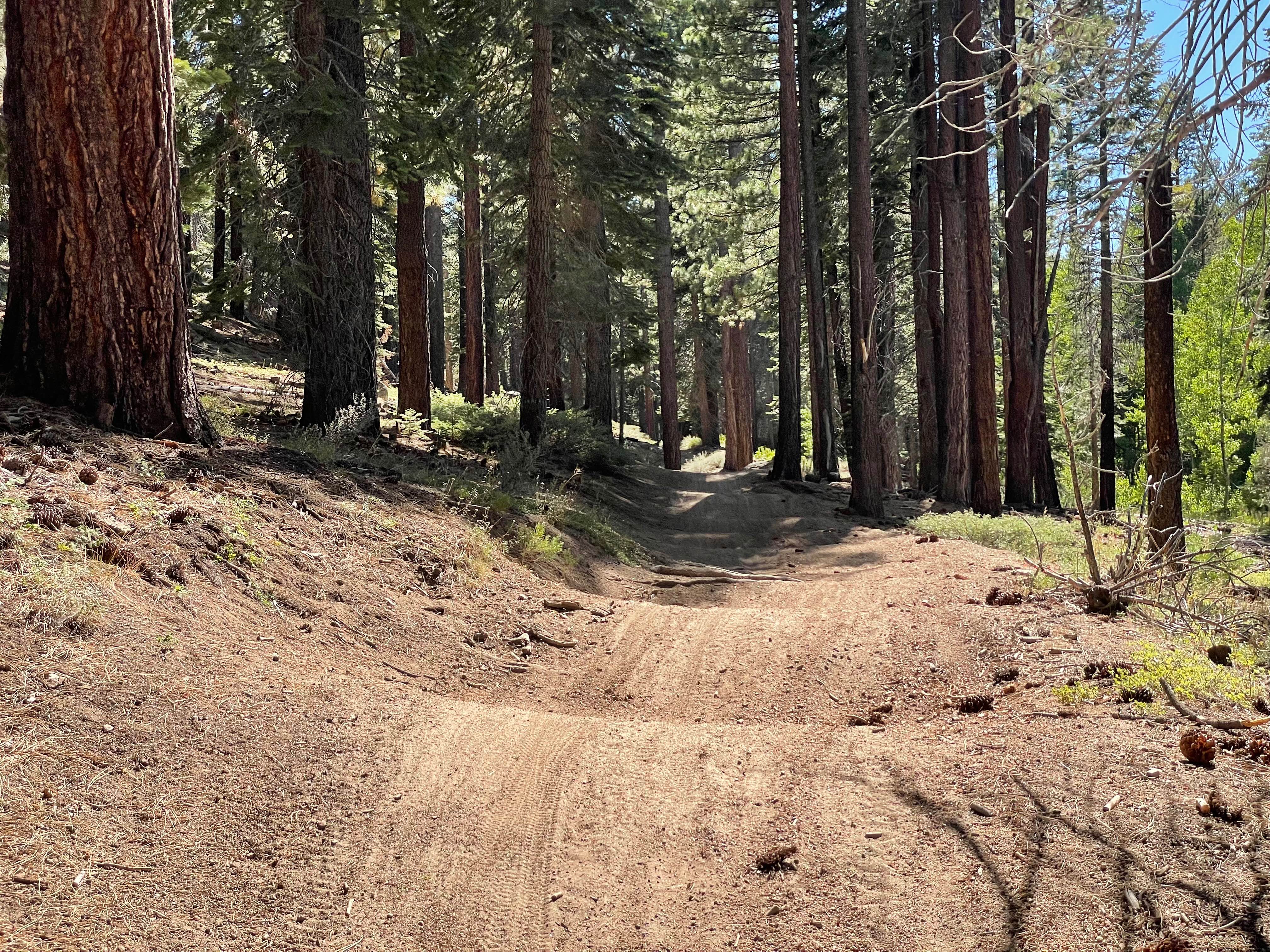
Trail Overview
Welcome to the Ocotillo Wells State Vehicle Recreational Area, the largest SVRA in California with more than 85,000 acres. OWSVRA is over 130 square miles with hundreds of miles of desert track open to all forms of off-highway vehicles. The SVRA borders the Anza-Borrego Desert State Park with many of the trails transiting between both areas. Only street-legal vehicles are allowed in the ABDSP. Wolfe Well Road is a 3.8-mile point-to-point trail rated 3 of 10. As with most trails within the OWSVRA, the track is predominately sand and hard-packed desert soil. Wolfe Well Road is a main access trail to the interior of the park. Crossing many washes and traversing dirt and sand, this is one of the most popular trails in the park. The southern trailhead is on Highway 78 with the northern end at Bank Wash. Located just north of the highway and on the east side is the Holmes Camp. Once the homestead of a local turkey rancher (who planted the shady tamarisk trees that still stand), today Holmes Camp is a popular camping location. This site features two fully accessible ADA campsites, as well as pay showers and much-needed shade. The trail also passes close to Barrel Springs and Wolfe Well near the northern end of the trail. Keep your eyes on the lookout for what looks like an old steel barrel and pipe. If you find it, you have located the Wolfe Well. The trail is generally well packed with light loose sand at least as far as Holmes Camp, as you will see many toy haulers and RVs in this area. Be careful for those walking in this area. This trail can get quite crowded in the spring and fall with moderate temperatures. Located just off the highway and to the west is the Denner ATV Training Track. Dedicated in 2010, the track is named after Roy Denner, a champion of OHV recreation. ATV Rider's courses are taught here (atvsafety.org). The Ocotillo Wells State Vehicular Recreation Area (OWSVRA) is administered by the Off-Highway Motor Vehicle Recreation Division of the California Department of Parks and Recreation, now commonly referred to as California State Parks. Travel within the OWSVRA is generally unrestricted, relying on the driver's sense of responsibility for protecting natural resources. There are no entrance or camping fees here, and open camping is permitted for up to 30 days per calendar year. All vehicles operated off-highway on public lands in California are required to be (1) street-licensed or (2) registered as an off-highway vehicle (OHV). Purchase of a California Nonresident permit is required: https://ohv.parks.ca.gov/?page_id=25669. Whether a beginner or an adrenaline junkie, you'll find something to your liking in the SVRA (hiking, dirt bike, ATV, UTV, dune buggies, or 4x4s). It is open to the public 7 days a week and 24 hours a day, go out and ride whenever you want. The off-road season is usually between the cooler months of October and May, so these months are usually the most crowded. Cell phone service is intermittent. Vehicle repair shops, telephones, groceries, hotels, motels, RV parks, and restaurants are available in the surrounding communities of Borrego Springs, Ocotillo Wells, and Salton City. Fuel is available in the communities of Borrego Springs and Salton City.
Photos of Wolfe Well Road
Difficulty
The trail consists of loose rocks, dirt, and sand with some slick rock surfaces and mud holes possible. No steps are higher than 12 inches. 4WD may be required, and aggressive tires are a plus.
Status Reports
Wolfe Well Road can be accessed by the following ride types:
- High-Clearance 4x4
- SUV
- SxS (60")
- ATV (50")
- Dirt Bike
Wolfe Well Road Map
Popular Trails
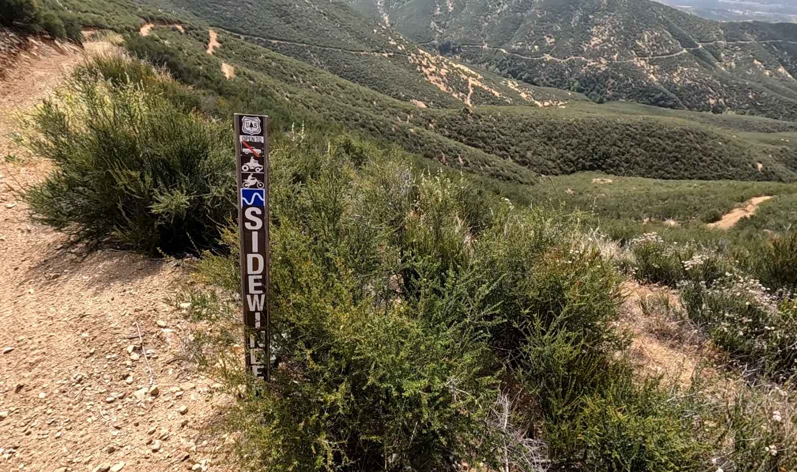
Sidewinder OHV Trail
The onX Offroad Difference
onX Offroad combines trail photos, descriptions, difficulty ratings, width restrictions, seasonality, and more in a user-friendly interface. Available on all devices, with offline access and full compatibility with CarPlay and Android Auto. Discover what you’re missing today!