Aqueduct Service Road Deadfoot Canyon
Total Miles
4.8
Technical Rating
Best Time
Fall, Summer, Spring
Trail Type
Full-Width Road
Accessible By
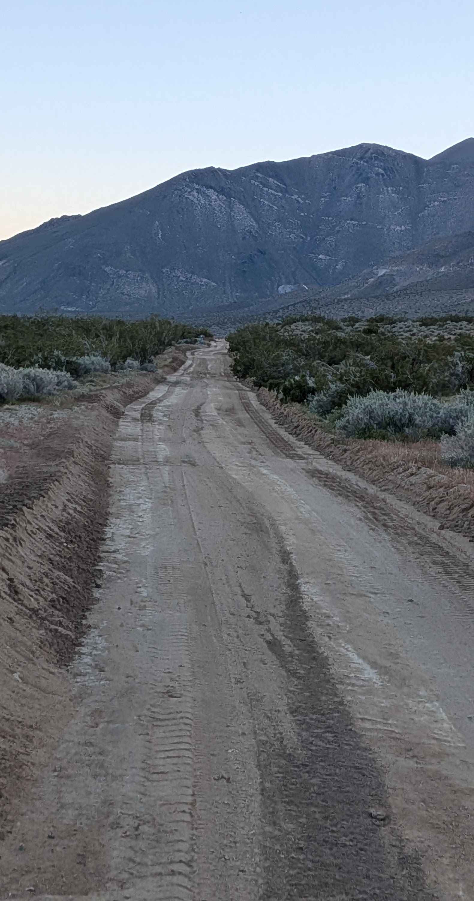
Trail Overview
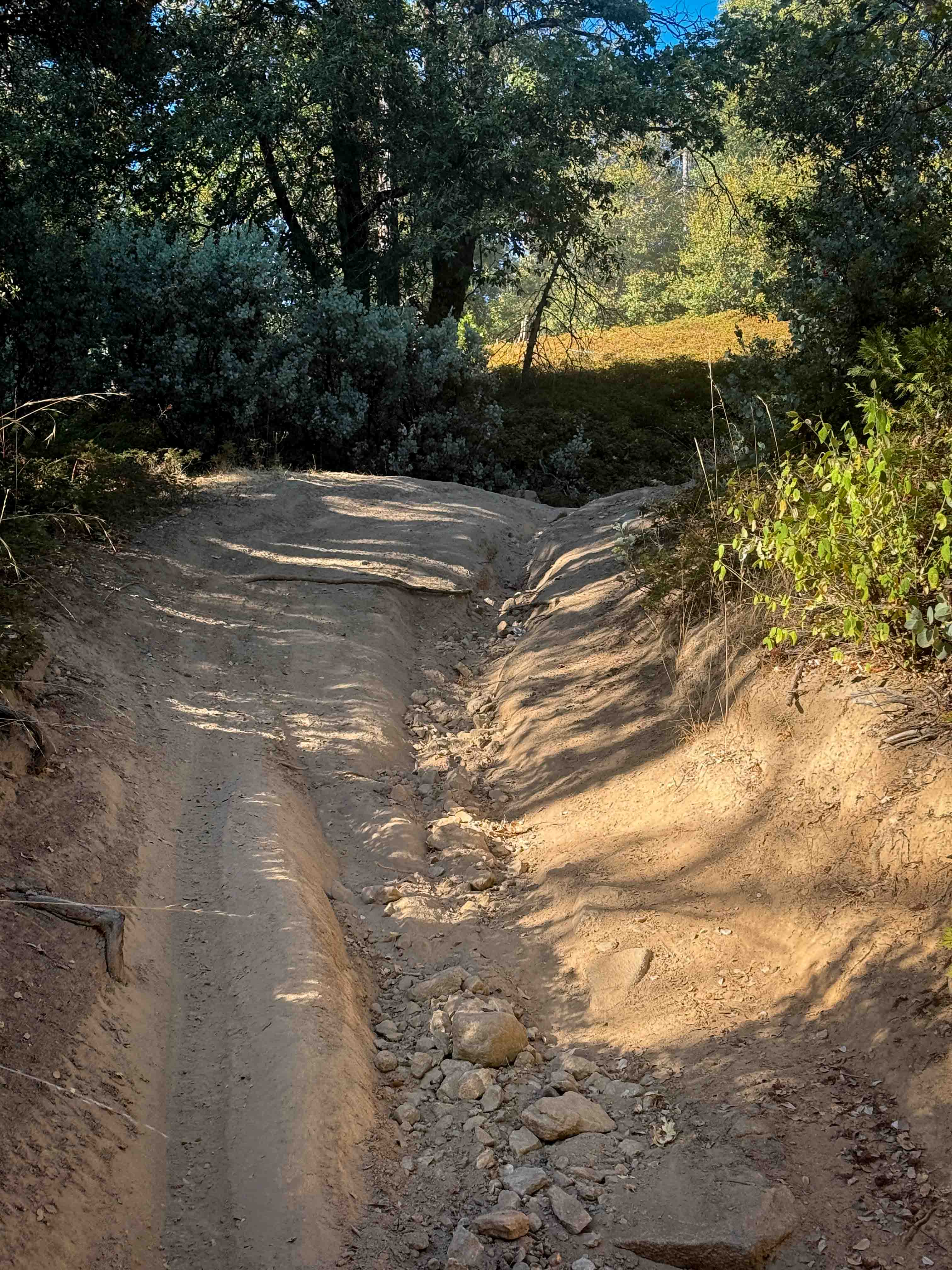
Running parallel to Highway 395 in the foothills of the Eastern Sierra Mountains, this mostly sandy route enjoys slight grading that improves the surface. The trail faithfully follows the second aqueduct of the Los Angeles Department of Water and Power infrastructure, providing clear navigation reference alongside the water conveyance system. Some sections feature runoff ruts interrupting the otherwise maintained surface. This is BLM land threading through the dramatic Sierra foothills.
Photos of Aqueduct Service Road Deadfoot Canyon

Difficulty
The slight grading helps tame the sandy surface, making this more manageable than unimproved sand routes. Those runoff ruts in some sections demand attention, but don't create serious obstacles. The mostly sandy surface benefits from airing down for improved traction and comfort. Following the aqueduct means relatively level grades without extreme climbs. Straightforward travel suitable for accessing the foothills without major technical challenges.
Status Reports
Aqueduct Service Road Deadfoot Canyon can be accessed by the following ride types:
- High-Clearance 4x4
- SUV
- SxS (60")
- ATV (50")
- Dirt Bike
Aqueduct Service Road Deadfoot Canyon Map
Popular Trails
Granite Wash
Lower Middle Ridge - FS 21N07
The onX Offroad Difference
onX Offroad combines trail photos, descriptions, difficulty ratings, width restrictions, seasonality, and more in a user-friendly interface. Available on all devices, with offline access and full compatibility with CarPlay and Android Auto. Discover what you’re missing today!