Off-Road Trails in California
Discover off-road trails in California
Learn more about Barrel Spring Trail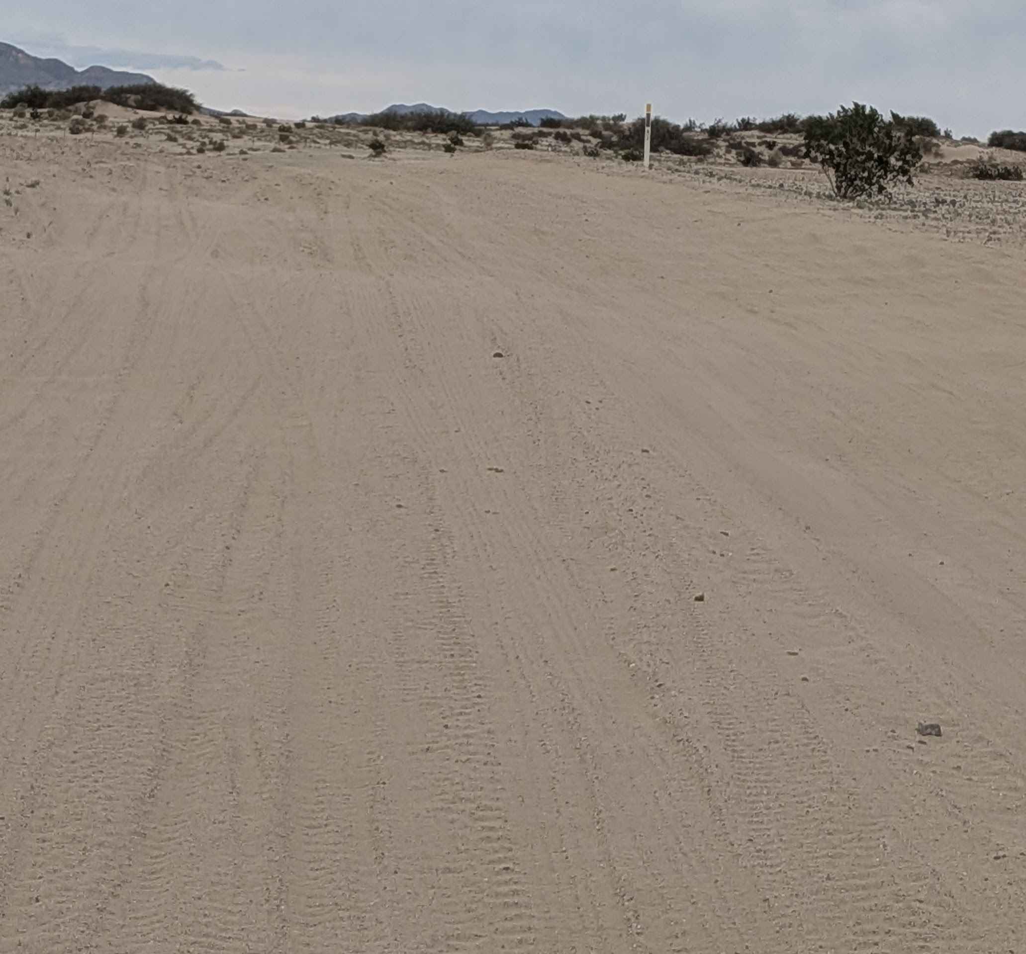
Barrel Spring Trail
Total Miles
1.0
Tech Rating
Easy
Best Time
Fall, Spring, Winter
Learn more about Barrett Lake Jeep Trail - 16E21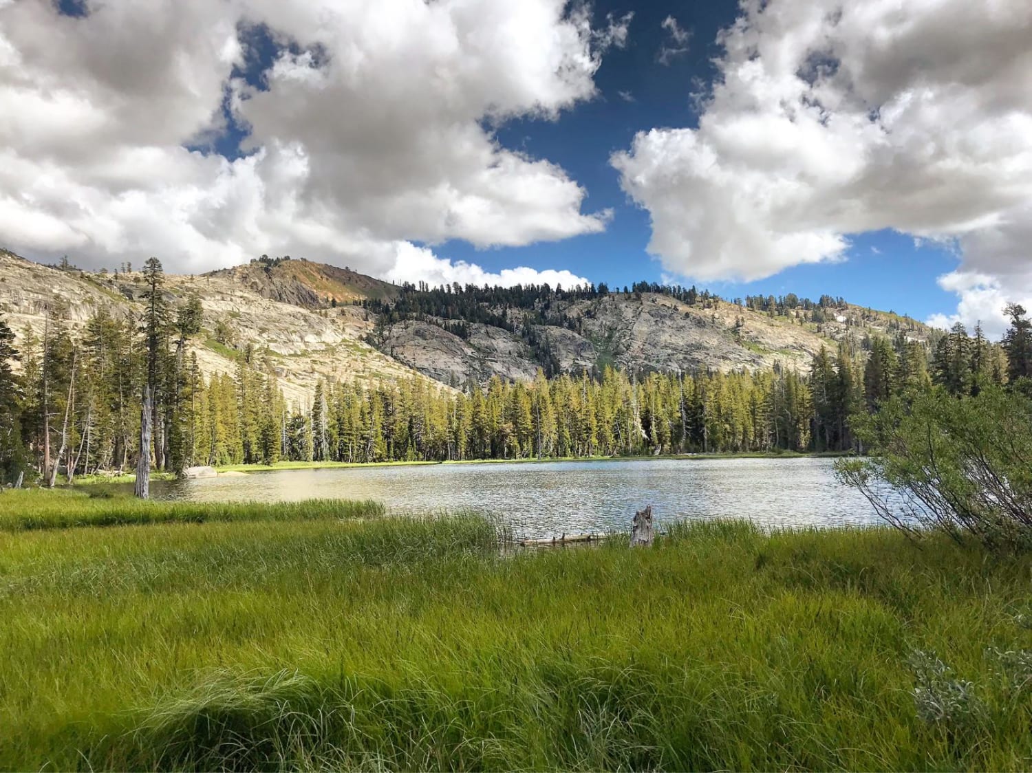
Barrett Lake Jeep Trail - 16E21
Total Miles
5.4
Tech Rating
Difficult
Best Time
Fall
Learn more about Bartlett Springs Road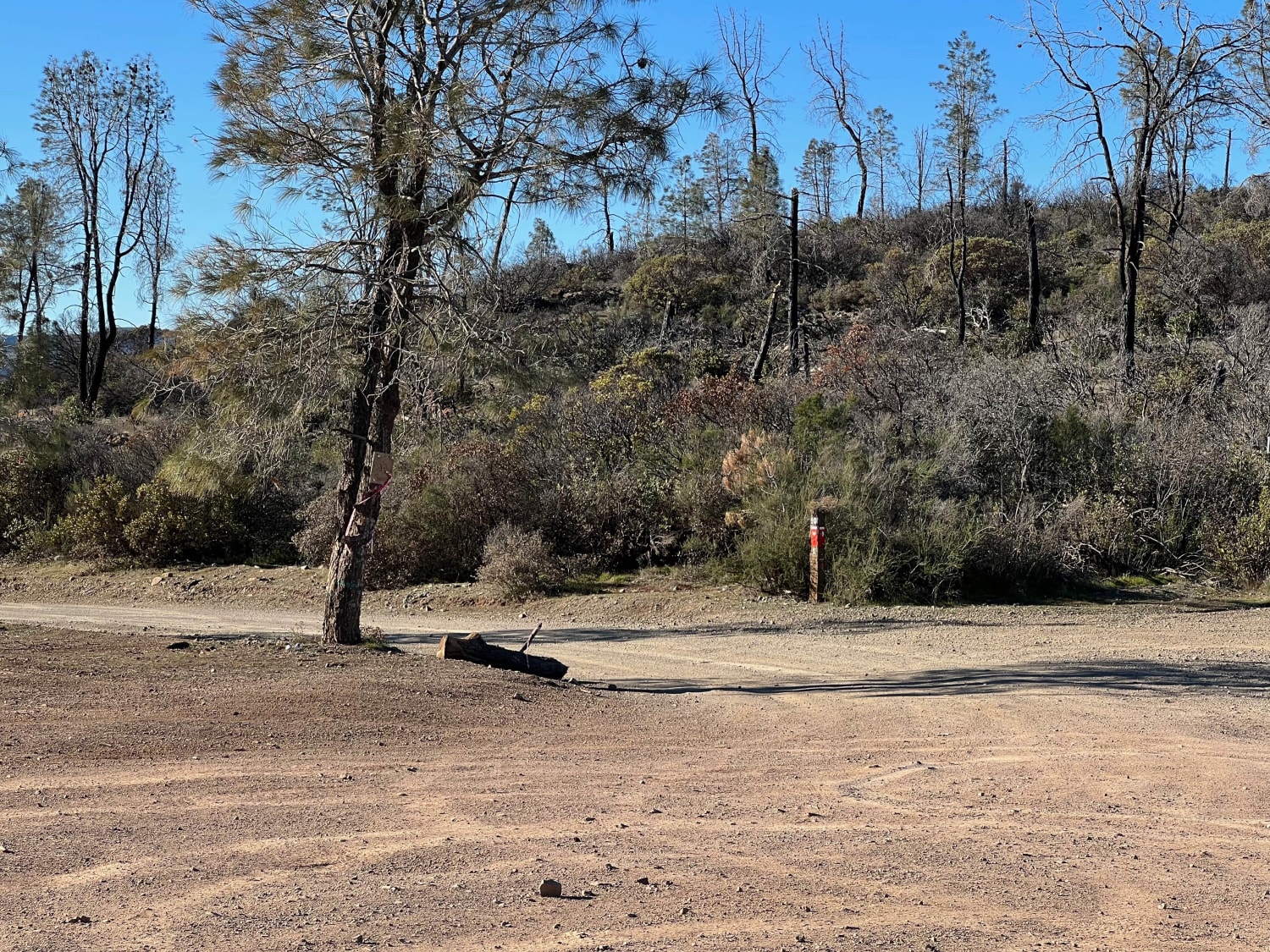
Bartlett Springs Road
Total Miles
10.1
Tech Rating
Easy
Best Time
Fall, Summer, Spring, Winter
Learn more about Bartolas - FS 24S14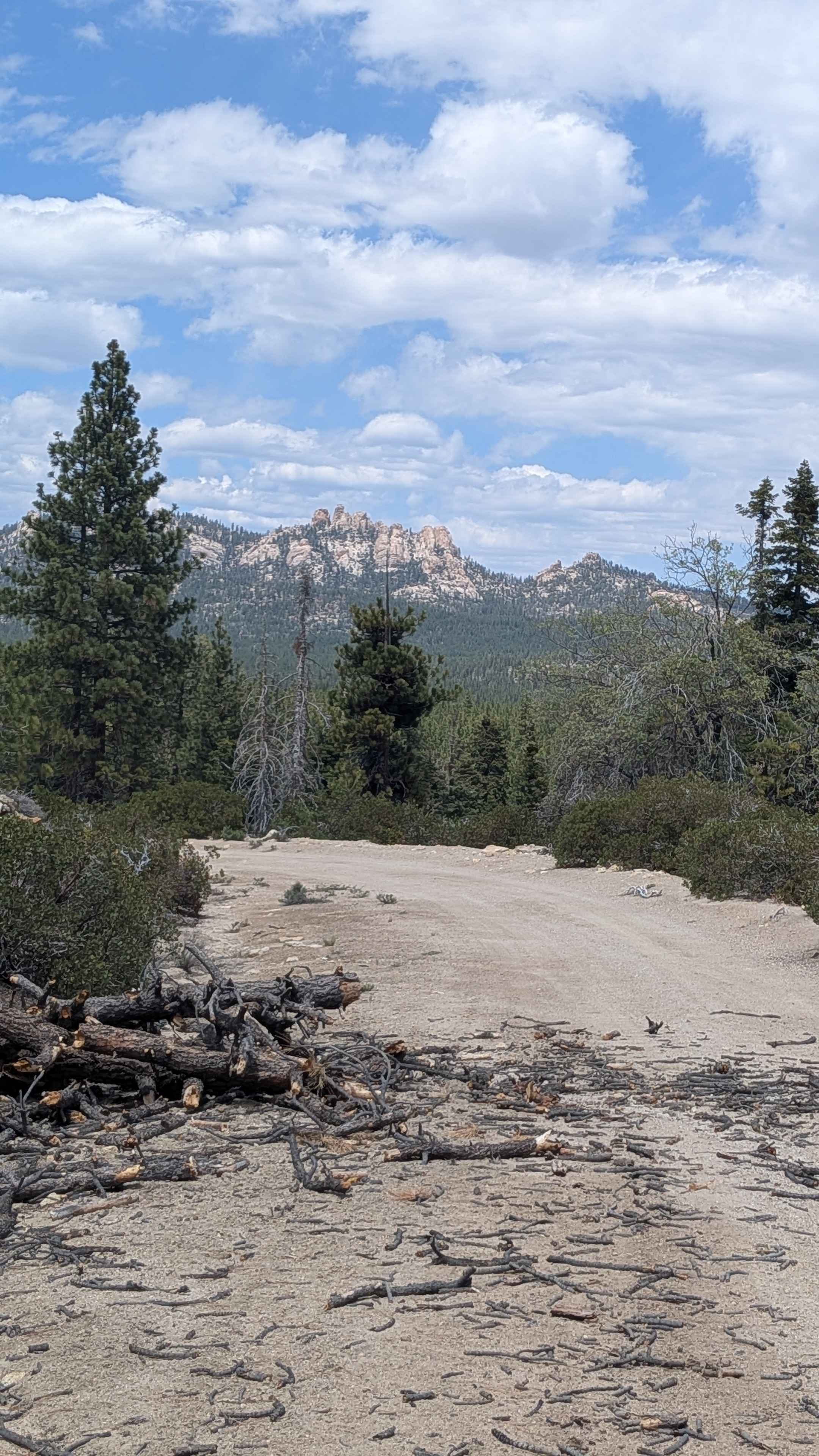
Bartolas - FS 24S14
Total Miles
1.3
Tech Rating
Easy
Best Time
Fall, Summer, Spring
Learn more about Basin Wash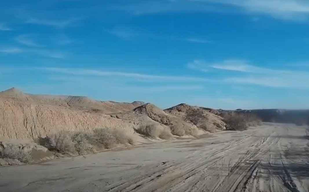
Basin Wash
Total Miles
2.9
Tech Rating
Easy
Best Time
Spring, Summer, Fall, Winter
Learn more about Basket Pass - FS 26S05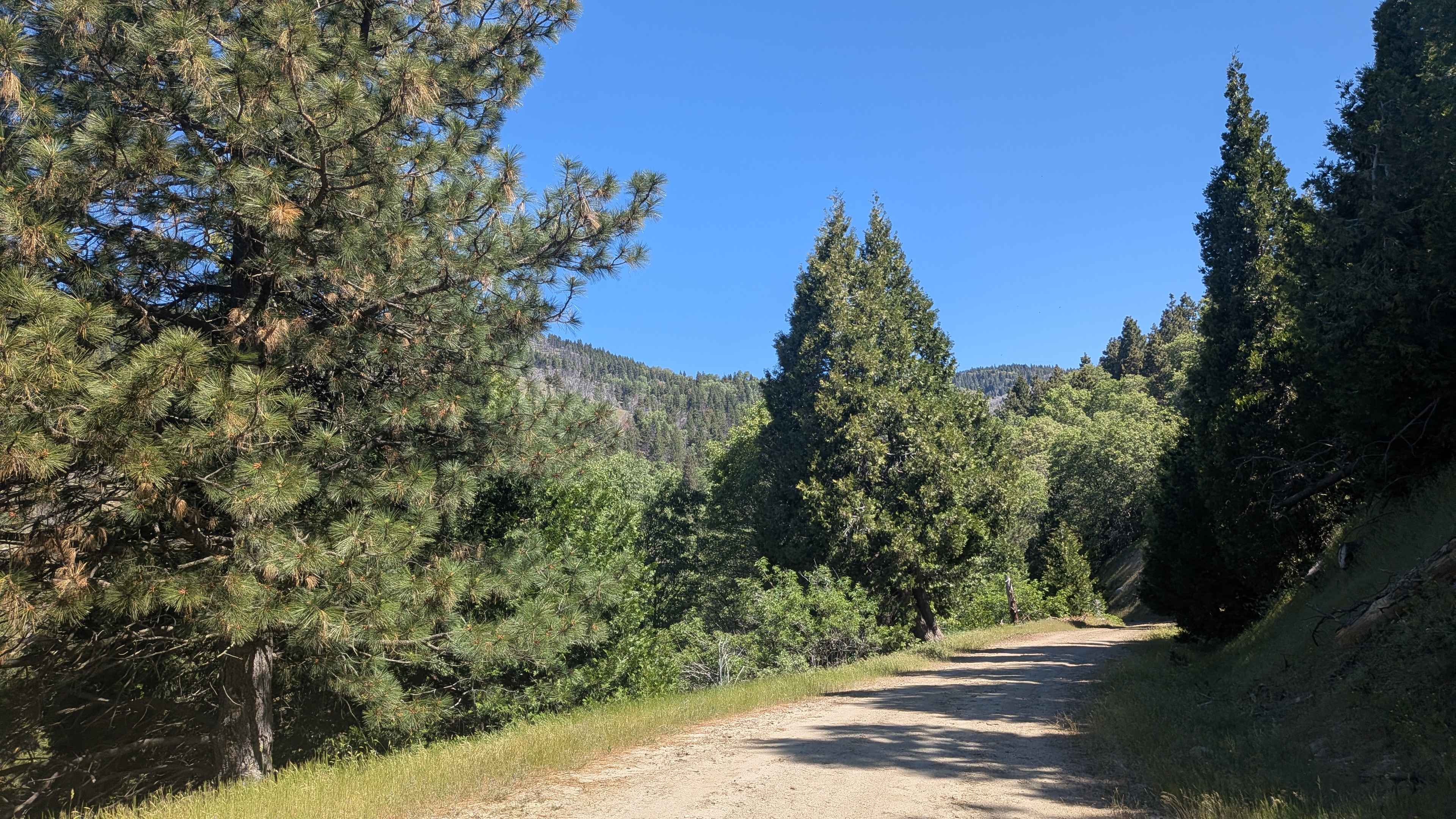
Basket Pass - FS 26S05
Total Miles
4.7
Tech Rating
Easy
Best Time
Summer, Spring, Fall

Learn more about Battalion - FS 21E252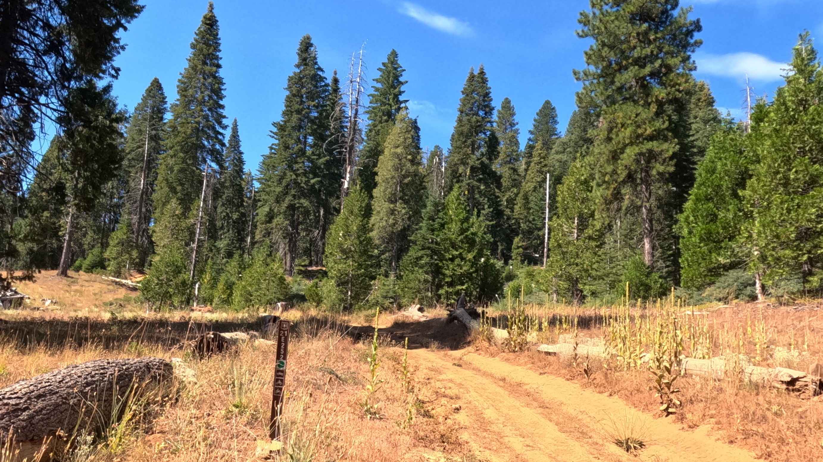
Battalion - FS 21E252
Total Miles
0.9
Tech Rating
Easy
Best Time
Spring, Summer

Learn more about Baxter Wash Trail
Baxter Wash Trail
Total Miles
19.4
Tech Rating
Moderate
Best Time
Spring, Fall, Winter
Learn more about Bear Creek Road M10
Bear Creek Road M10
Total Miles
7.4
Tech Rating
Easy
Best Time
Spring, Summer, Fall
Learn more about Bear Diversion OHV Route - FS 6S083
Bear Diversion OHV Route - FS 6S083
Total Miles
2.3
Tech Rating
Easy
Best Time
Summer, Fall
Learn more about Bear Lake Trail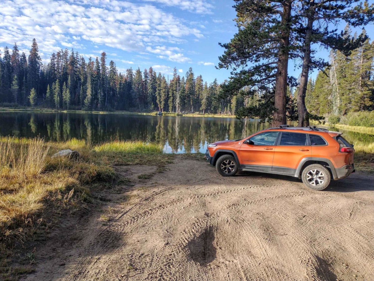
Bear Lake Trail
Total Miles
5.5
Tech Rating
Easy
Best Time
Summer, Spring, Fall
Learn more about Bear Spring - FS 96-034-02
Bear Spring - FS 96-034-02
Total Miles
1.4
Tech Rating
Easy
Best Time
Spring, Summer
Learn more about Bear Valley Loop
Bear Valley Loop
Total Miles
2.0
Tech Rating
Moderate
Best Time
Fall, Summer
Learn more about Bear Valley Loop Trail
Bear Valley Loop Trail
Total Miles
20.9
Tech Rating
Easy
Best Time
Summer, Fall
Learn more about Bear Valley Road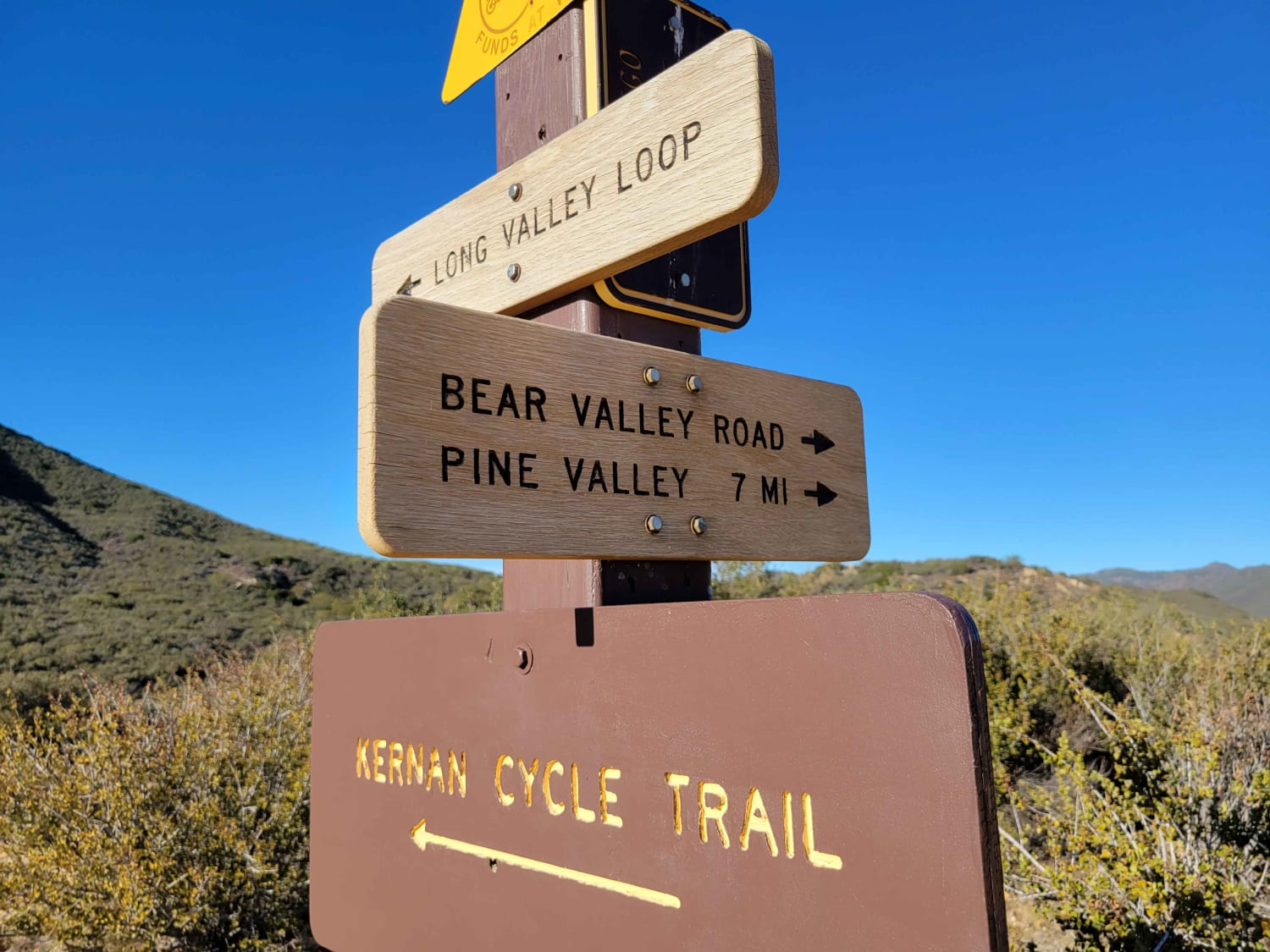
Bear Valley Road
Total Miles
6.8
Tech Rating
Moderate
Best Time
Winter, Fall, Summer, Spring
Learn more about Bear Valley Road Trail 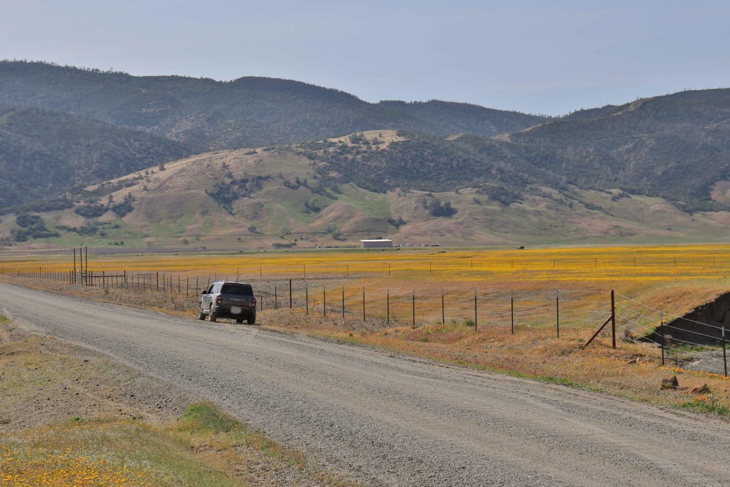
Bear Valley Road Trail
Total Miles
14.6
Tech Rating
Easy
Best Time
Spring, Fall, Winter
ATV trails in California


UTV/side-by-side trails in California


Learn more about 3N267 Fenner Saddle (4N12)
3N267 Fenner Saddle (4N12)
Total Miles
3.8
Tech Rating
Difficult
Best Time
Spring, Summer, Fall, Winter

The onX Offroad Difference
onX Offroad combines trail photos, descriptions, difficulty ratings, width restrictions, seasonality, and more in a user-friendly interface. Available on all devices, with offline access and full compatibility with CarPlay and Android Auto. Discover what you’re missing today!