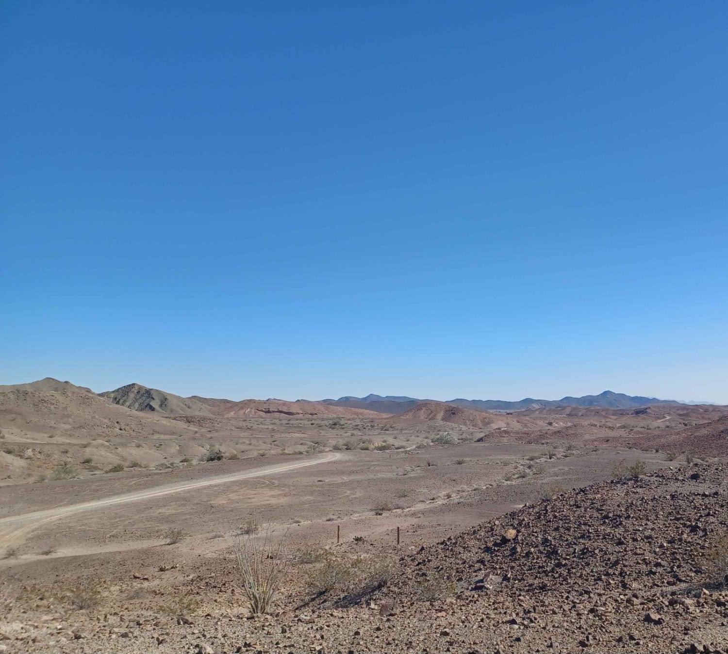
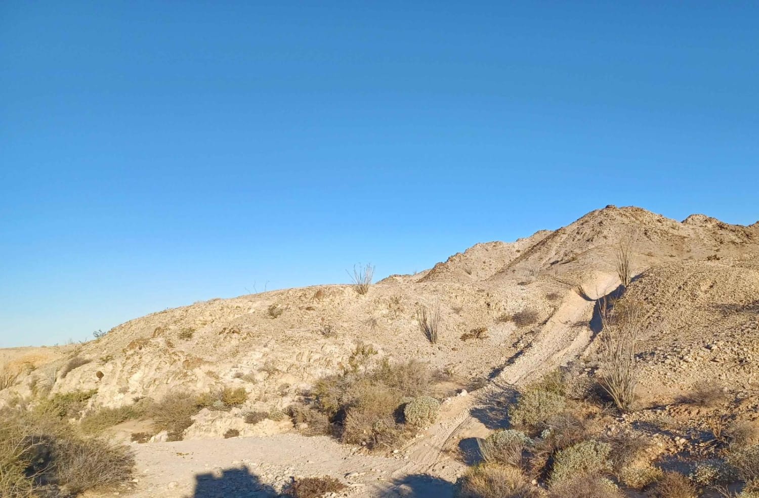
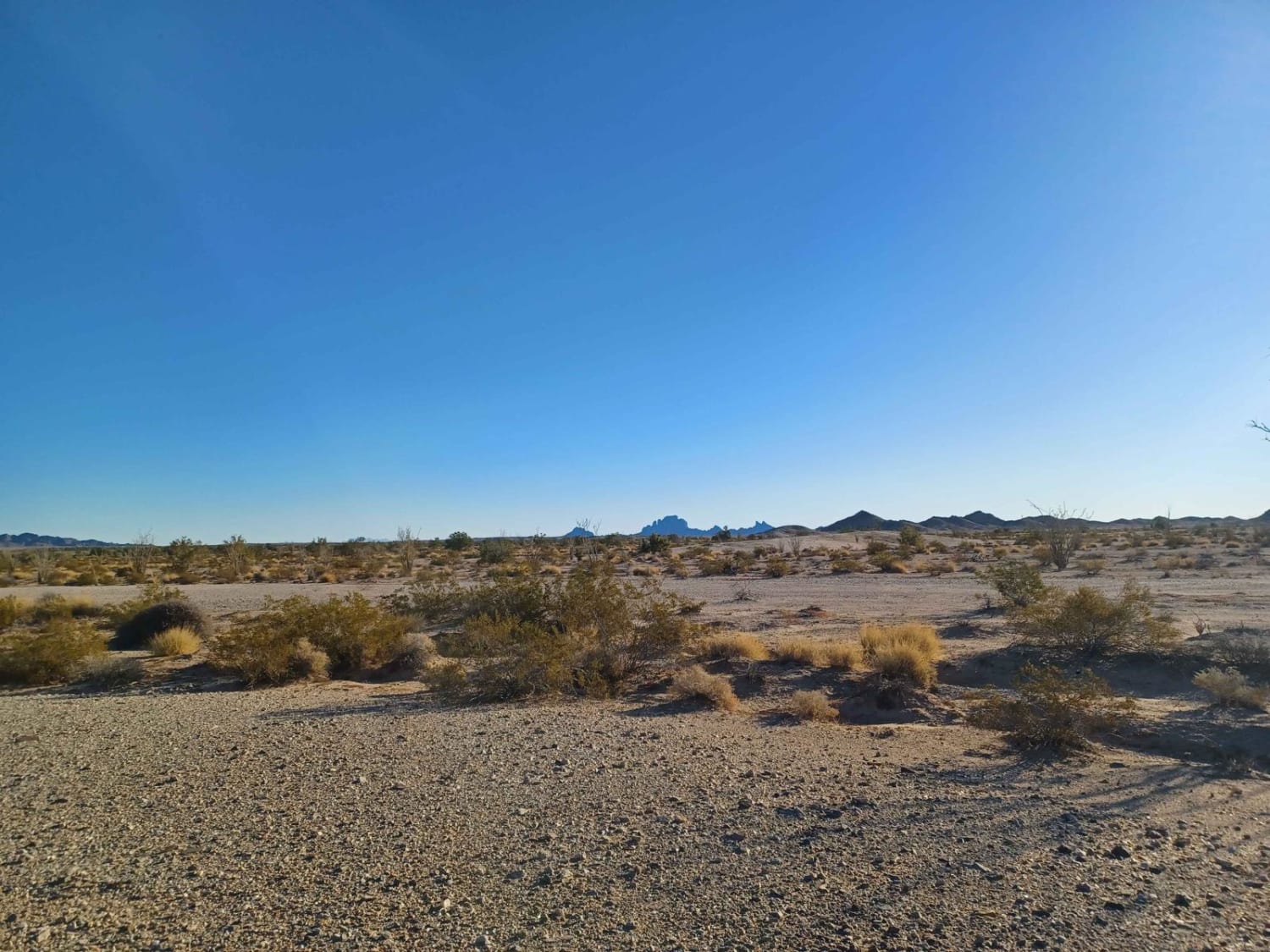
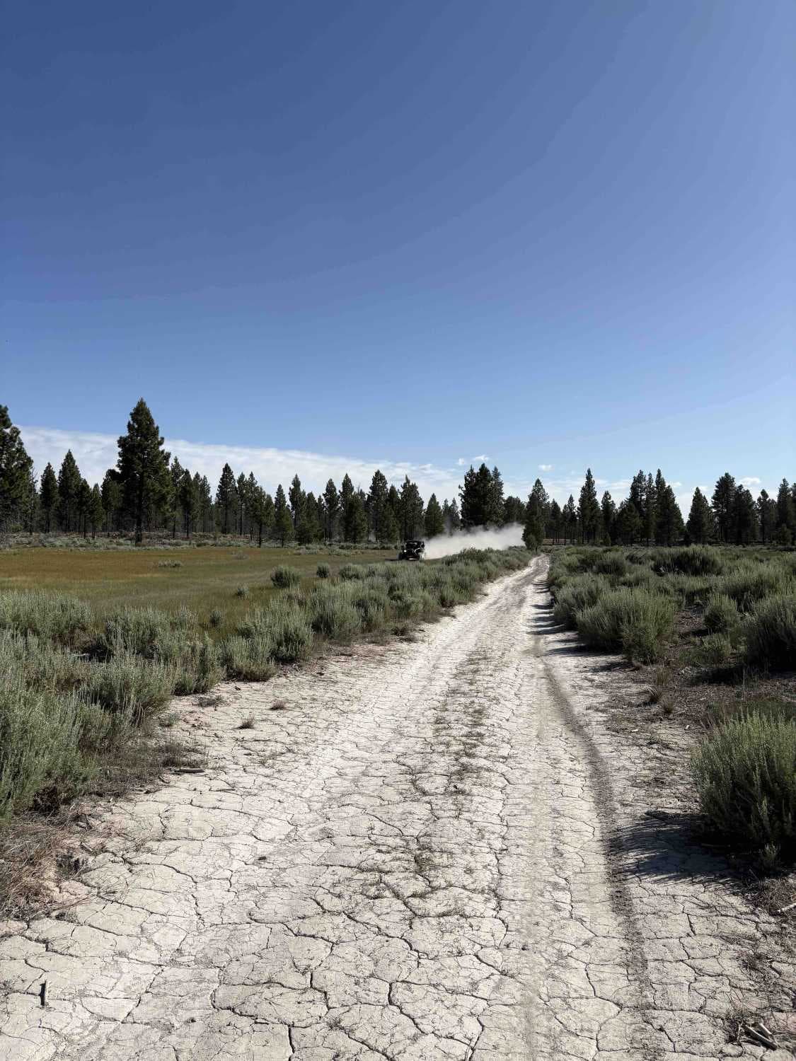
Off-Road Trails in California
Discover off-road trails in California
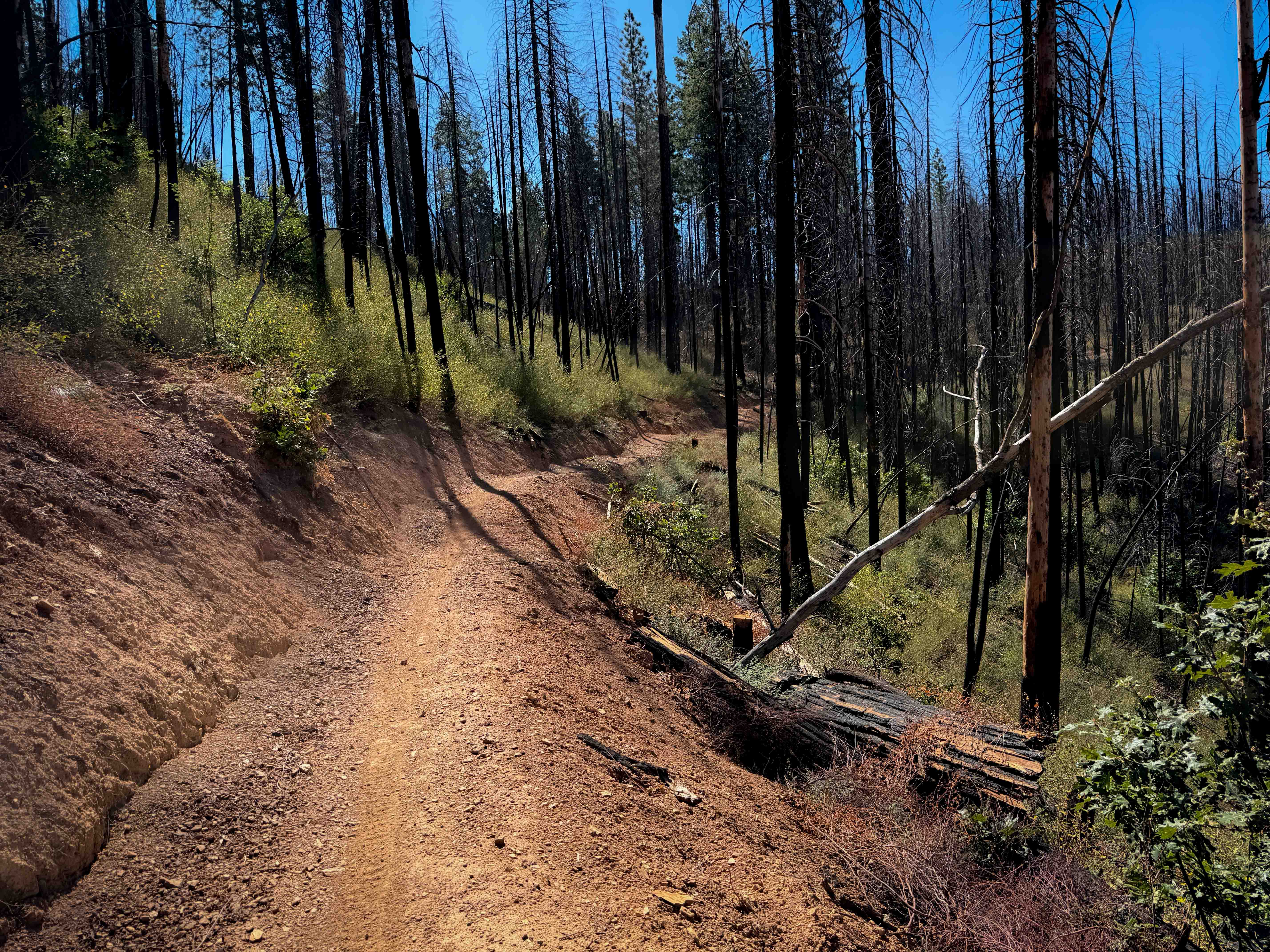
Learn more about 5s007a - Beasore - A Spur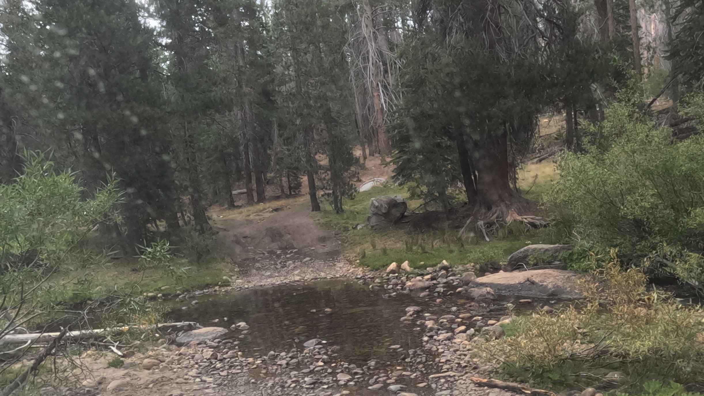
5s007a - Beasore - A Spur
Total Miles
0.4
Tech Rating
Easy
Best Time
Summer, Fall
Learn more about 5S01 Indian Truck Trail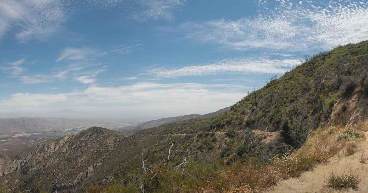
5S01 Indian Truck Trail
Total Miles
7.0
Tech Rating
Easy
Best Time
Spring, Summer, Fall, Winter
Learn more about 5s020x - Grant Grade Tollroad II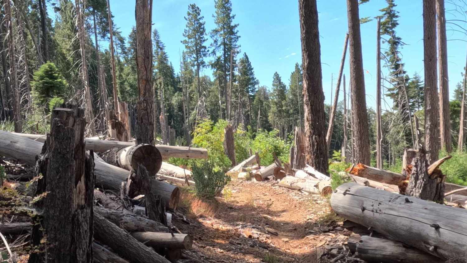
5s020x - Grant Grade Tollroad II
Total Miles
3.1
Tech Rating
Moderate
Best Time
Spring, Summer, Fall
Learn more about 5S06 Idyllwild Control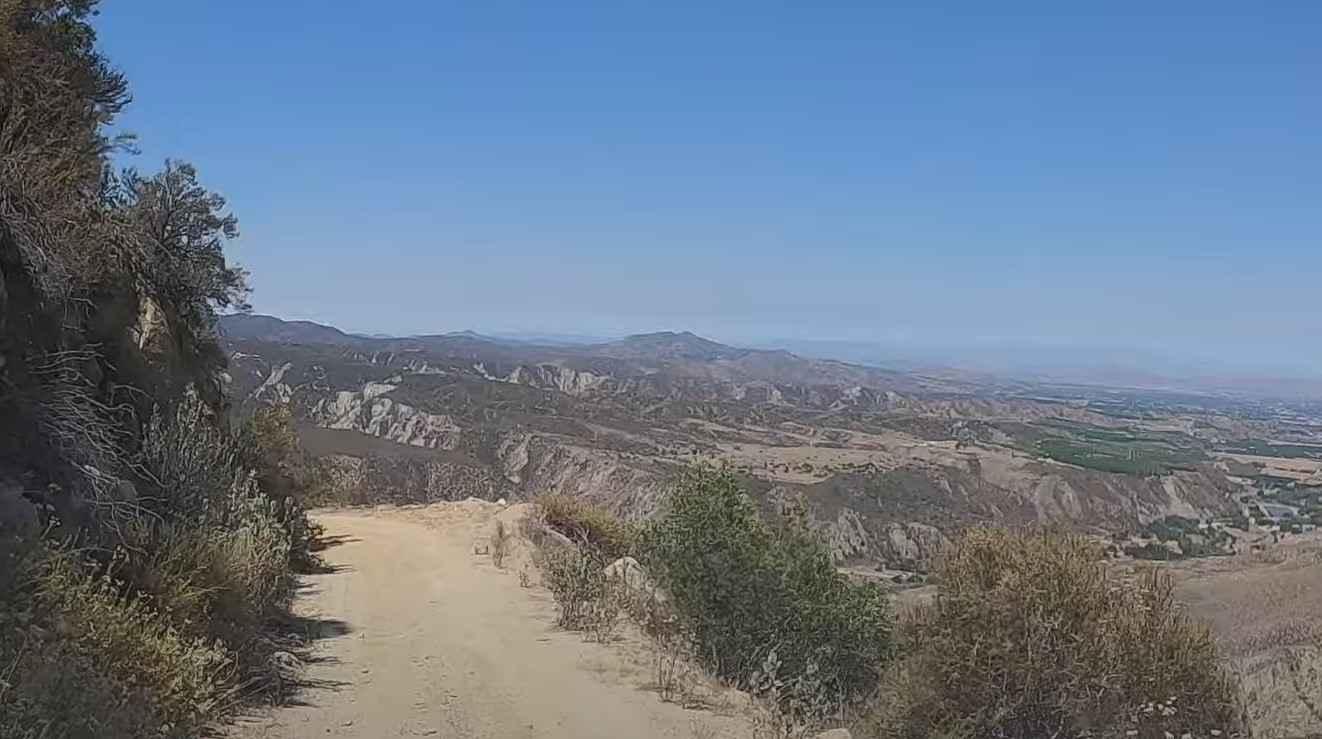
5S06 Idyllwild Control
Total Miles
6.1
Tech Rating
Easy
Best Time
Spring, Summer, Fall, Winter
Learn more about 62 to 40 Cut Off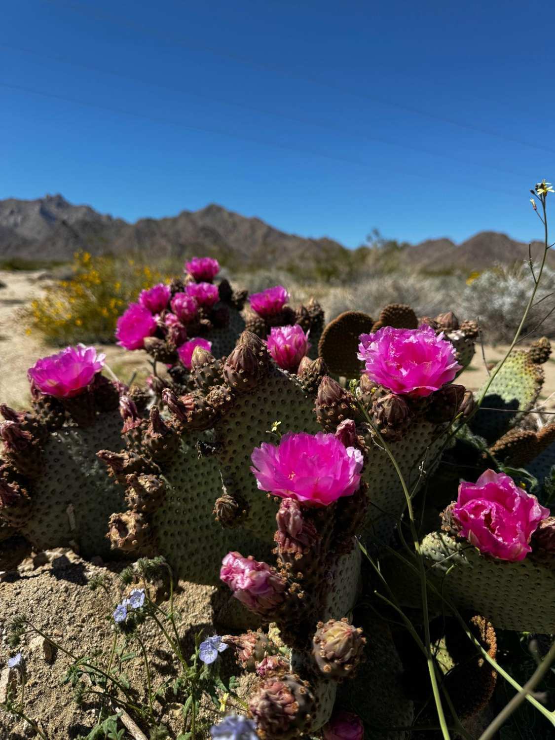
62 to 40 Cut Off
Total Miles
56.6
Tech Rating
Easy
Best Time
Spring, Summer, Fall
Learn more about 6S13 - Thomas Mountain Road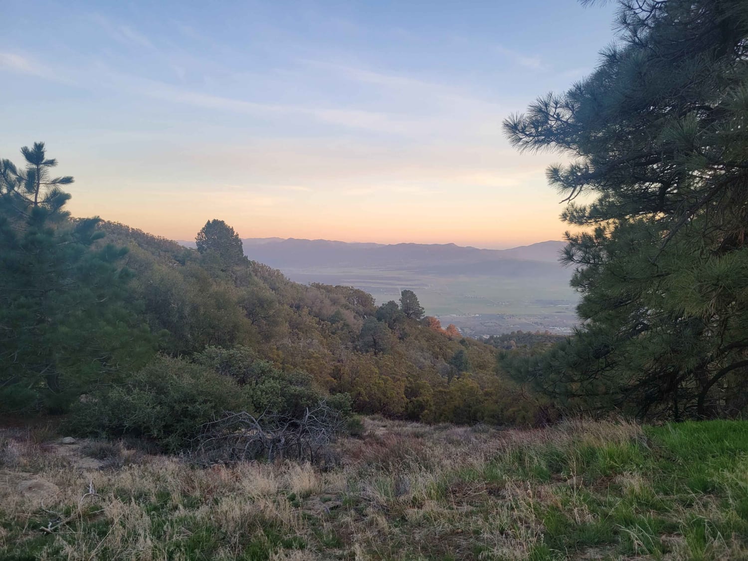
6S13 - Thomas Mountain Road
Total Miles
8.1
Tech Rating
Easy
Best Time
Spring, Summer, Fall
Learn more about 8S05 - North Palomar Mountain Road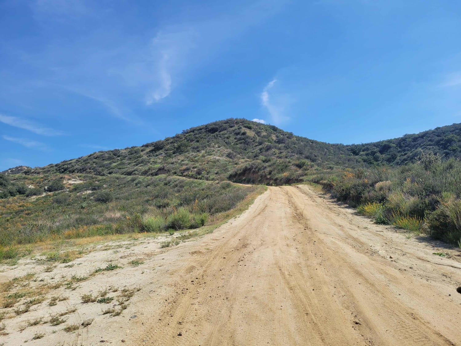
8S05 - North Palomar Mountain Road
Total Miles
10.6
Tech Rating
Easy
Best Time
Spring
Learn more about 8s085 - Snow Bend / S.C.E Powerline Road
8s085 - Snow Bend / S.C.E Powerline Road
Total Miles
0.7
Tech Rating
Easy
Best Time
Summer, Fall
Learn more about 8s098 - Snow Drift
8s098 - Snow Drift
Total Miles
2.4
Tech Rating
Easy
Best Time
Summer, Fall
Learn more about 8s098h - Snow Drift Spur
8s098h - Snow Drift Spur
Total Miles
0.4
Tech Rating
Easy
Best Time
Summer, Fall

Learn more about 8s09g - Gooseneck
8s09g - Gooseneck
Total Miles
0.3
Tech Rating
Easy
Best Time
Summer, Fall
Learn more about 95 to Balancing Rock Camp
95 to Balancing Rock Camp
Total Miles
3.1
Tech Rating
Easy
Best Time
Spring, Summer, Fall
Learn more about Abandoned Old Dutch Cleanser Mine Trail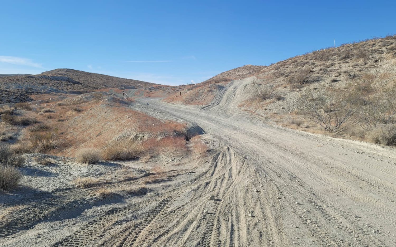
Abandoned Old Dutch Cleanser Mine Trail
Total Miles
1.0
Tech Rating
Easy
Best Time
Spring, Summer, Fall
Learn more about Adobe Basin Loop
Adobe Basin Loop
Total Miles
4.1
Tech Rating
Easy
Best Time
Spring, Summer, Fall, Winter
ATV trails in California


UTV/side-by-side trails in California


Learn more about 3N267 Fenner Saddle (4N12)
3N267 Fenner Saddle (4N12)
Total Miles
3.8
Tech Rating
Difficult
Best Time
Spring, Summer, Fall, Winter

The onX Offroad Difference
onX Offroad combines trail photos, descriptions, difficulty ratings, width restrictions, seasonality, and more in a user-friendly interface. Available on all devices, with offline access and full compatibility with CarPlay and Android Auto. Discover what you’re missing today!