Black Point - FS 2N42
Total Miles
2.7
Technical Rating
Best Time
Summer, Fall, Spring
Trail Type
Full-Width Road
Accessible By
Trail Overview
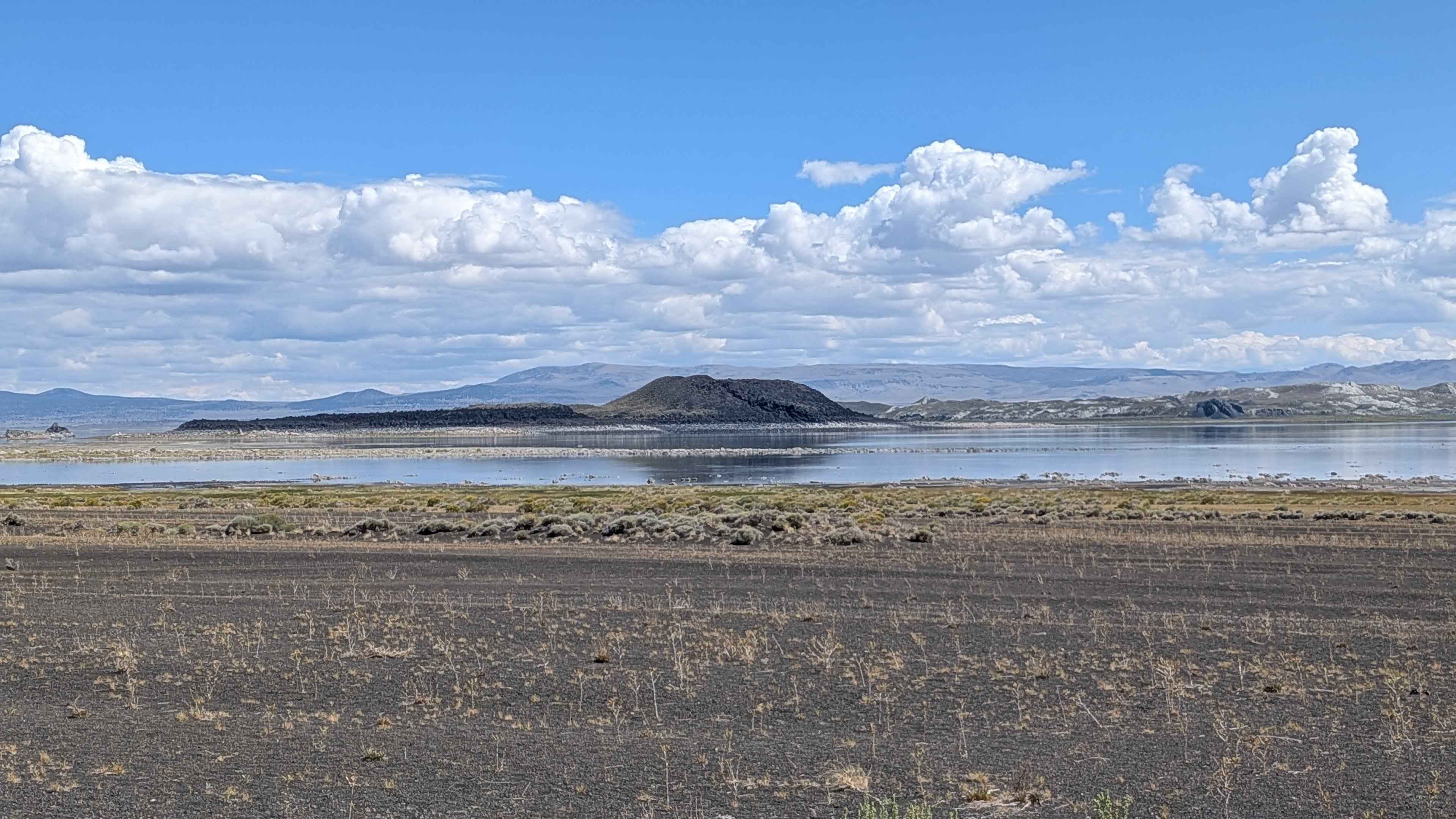
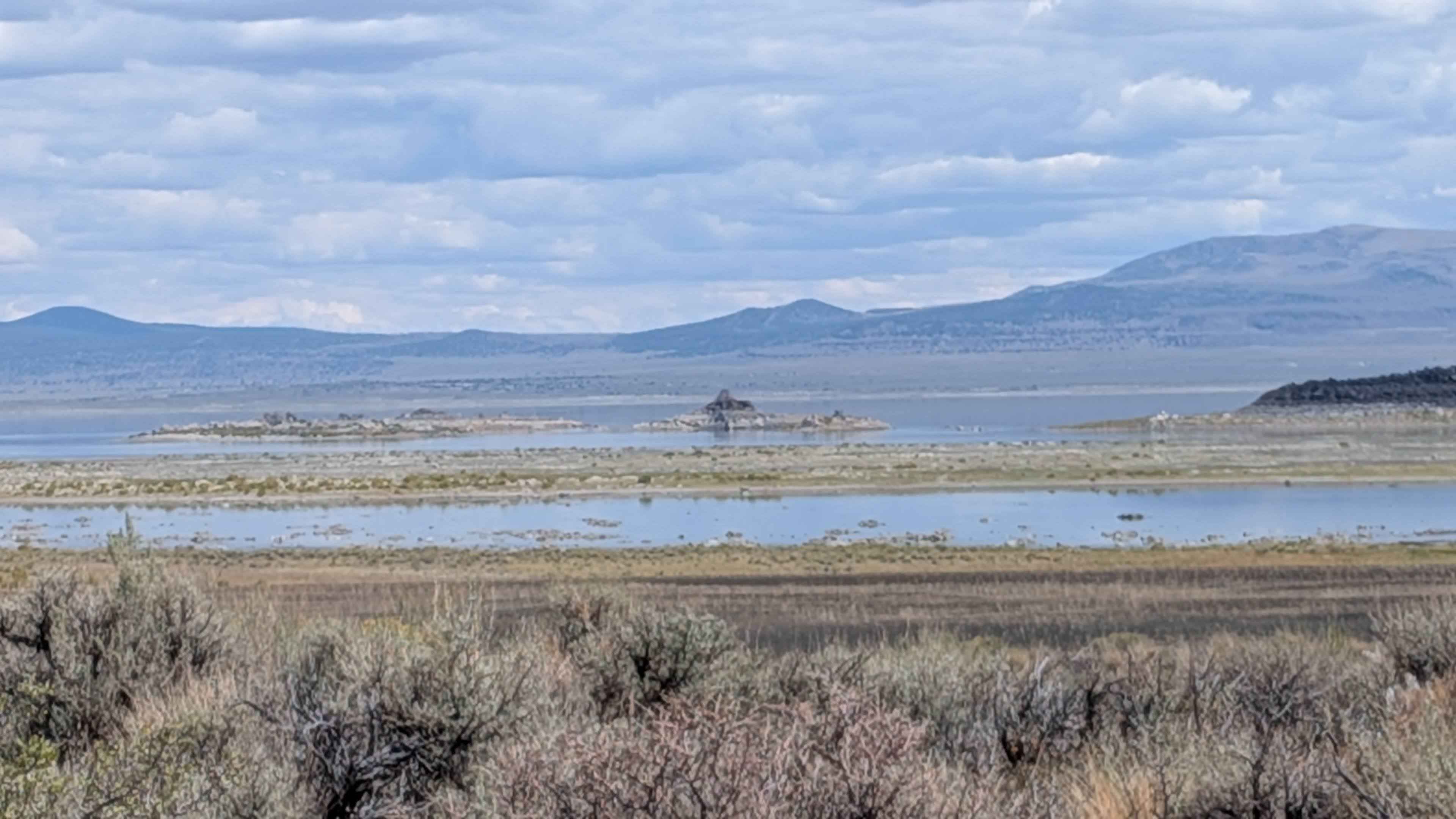
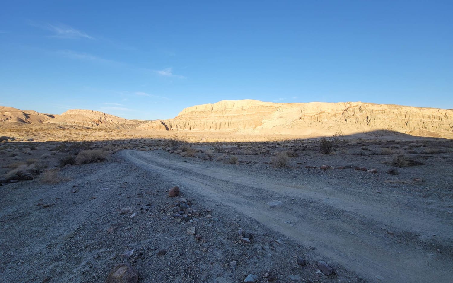
This route is accessed off Cemetery Road, just east of Highway 395, and offers some of the best views of Mono Lake and its islands, along with great views of the Eastern Sierras and the Bodie Mountains. The area is open to bicycles and vehicles, but you cannot go off-road or drive on any hiking trails. This location provides the closest views of the islands in Mono Lake, making it a prime destination for lake viewing. Spur road 2N19 is a good option to get even closer to the lake. The trail ends at the Black Point Fissures interpretive area, where no camping or driving on the beach is allowed.
Photos of Black Point - FS 2N42
Difficulty
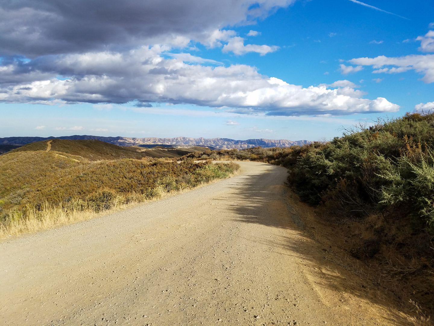
The trail is almost all a rating 1 except for one short section of very deep sand that elevates it to a rating of 2. The gravel road is one vehicle wide and lined with thick brush. The gravel surface turns more to sand as you progress, with that one challenging section of very deep sand being the primary difficulty factor. Beware of oncoming traffic and use the pull-outs to let other vehicles pass safely.
History
The Black Point Fissures are cracks in a volcanic lava mass on the north shore of Mono Lake, formed about 13,000 years ago when an underwater eruption occurred and the resulting lava cooled and contracted. The volcanic material, ejected under the higher lake level of that era, became cemented into a solid surface by a process called palagonitization. As pressure from below continued, this solid surface bulged and cracked, creating the deep, near-vertical fissures that are now a unique feature of the Mono Lake region.
Status Reports
Black Point - FS 2N42 can be accessed by the following ride types:
- High-Clearance 4x4
- SUV
- SxS (60")
- ATV (50")
- Dirt Bike
Black Point - FS 2N42 Map
Popular Trails
Walker Ridge Road to Indian Valley Reservoir Road

Rubicon Road - 13N66
Dry Creek Gulch (28E210)
Iron Canyon Scenic Trail
The onX Offroad Difference
onX Offroad combines trail photos, descriptions, difficulty ratings, width restrictions, seasonality, and more in a user-friendly interface. Available on all devices, with offline access and full compatibility with CarPlay and Android Auto. Discover what you’re missing today!