Rubicon Road - 13N66
Total Miles
2.4
Technical Rating
Best Time
Spring, Summer, Fall
Trail Type
Full-Width Road
Accessible By
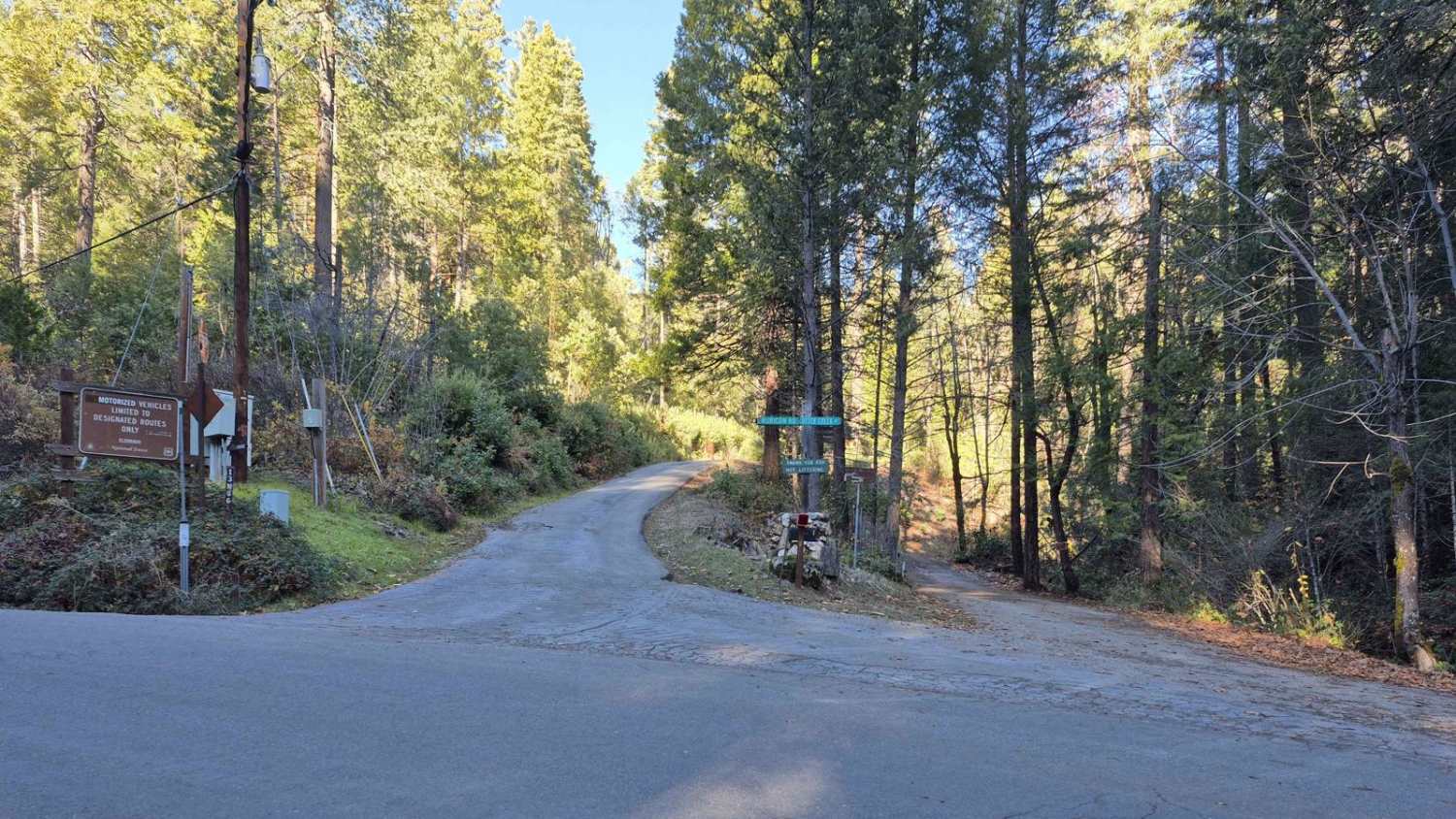
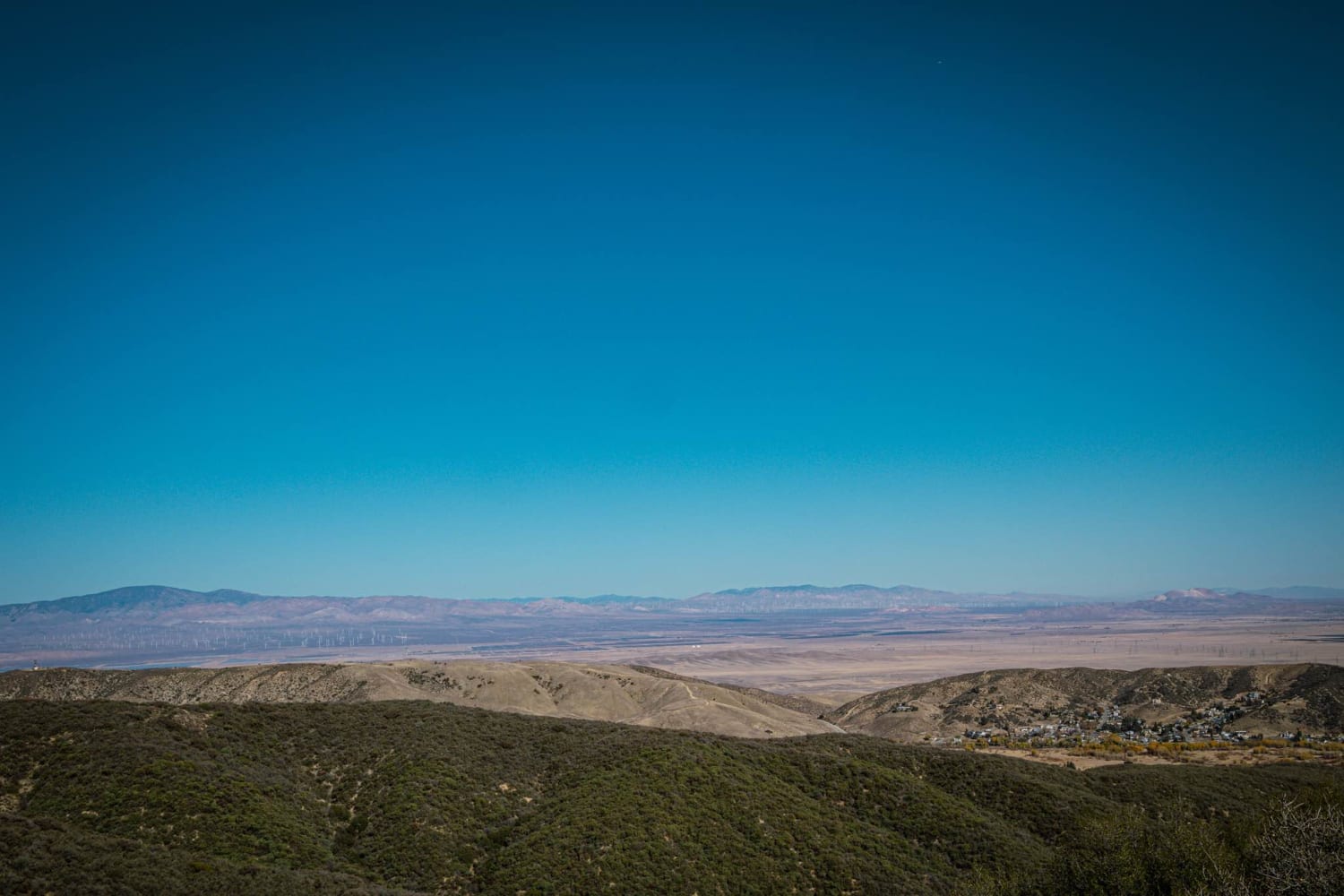
Trail Overview
This is NOT the Rubicon Trail. This is US Forestry Service fire road route number 13N66, known as Rubicon Road located in the Volcanoville area of Georgetown, California. It is located inside the Mosquito Fire Scar area. As such, the landscape continues to shift as dead trees fall and new trees grow. As a result, the ground is especially susceptible to washouts and rutting during/after storms. This is a great trail to see the combination of wildfire scarring and new growth. It is recommended to bring some basic trail-clearing tools (shovel, pruner/lopper, machete, etc), as the underbrush grows quickly.
Photos of Rubicon Road - 13N66

Difficulty
Most of the trail can be completed in an SUV with all-terrain tires in 2WD. The first half of the road is generally wide enough for vehicles to pass, while the remainder of the trail has occasional pull-outs that make passing fairly easy. The trail is significantly more difficult following rain as there are many areas that may wash out or become deep mud holes. Rains also cause soft ground and felled trees across the trail. The area also has limited anchor points for self-recovery since most of the trees are either dead or too small to be used. The majority of the trail does have a steep fall-off on one side, with a steep hill on the other, which may force a driver to back up on shifting dirt for up to a quarter of a mile if they come upon an obstacle they cannot overcome.
Status Reports
Rubicon Road - 13N66 can be accessed by the following ride types:
- High-Clearance 4x4
- SUV
- SxS (60")
- ATV (50")
- Dirt Bike
Rubicon Road - 13N66 Map
Popular Trails

Lake Hughes/Grass Mountain Connector Trail

Big Valley Bluff Lookout Trail

Red Mountain OHV Trail
The onX Offroad Difference
onX Offroad combines trail photos, descriptions, difficulty ratings, width restrictions, seasonality, and more in a user-friendly interface. Available on all devices, with offline access and full compatibility with CarPlay and Android Auto. Discover what you’re missing today!