Save the Rock - FS 5S039
Total Miles
3.1
Technical Rating
Best Time
Summer, Fall
Trail Type
Full-Width Road
Accessible By
Trail Overview
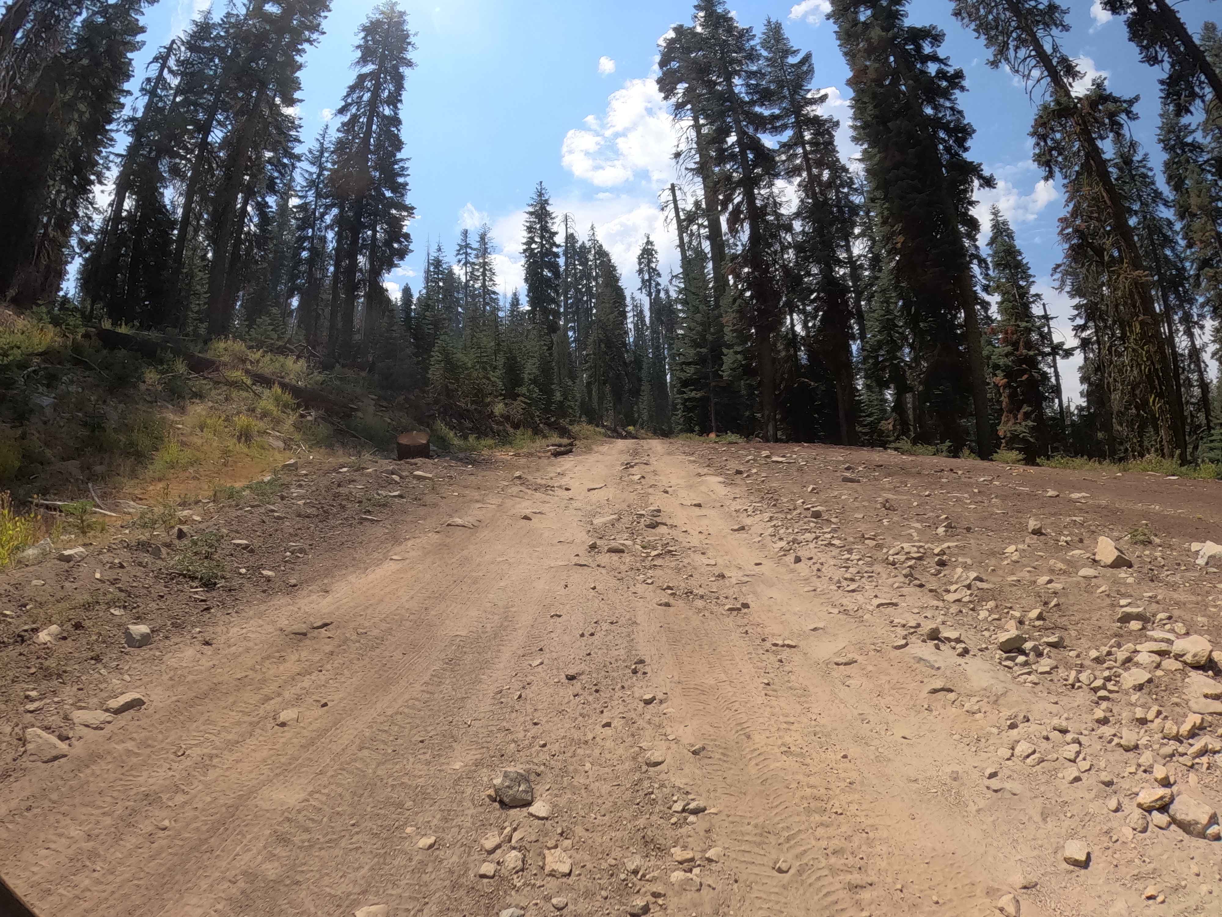
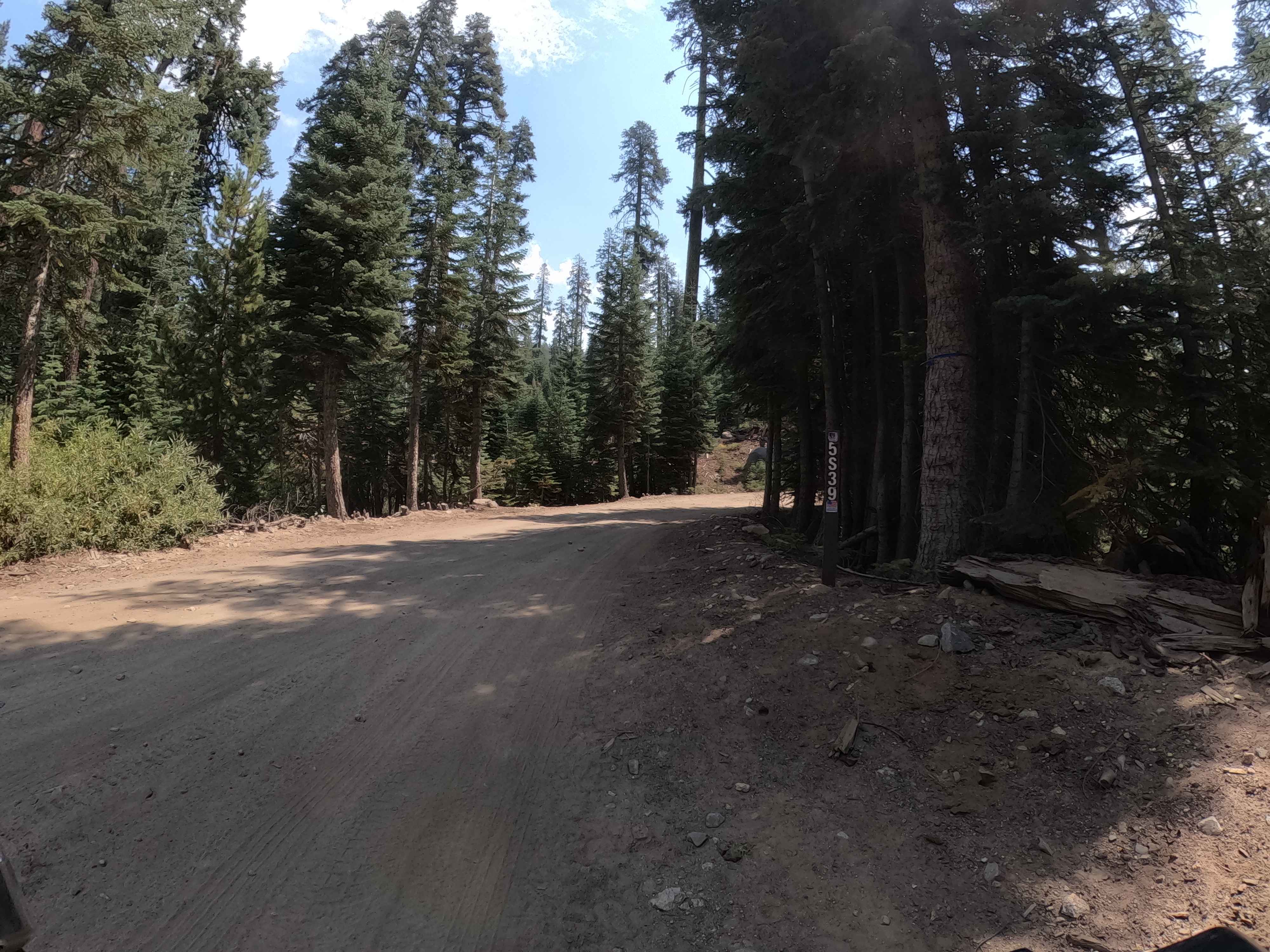
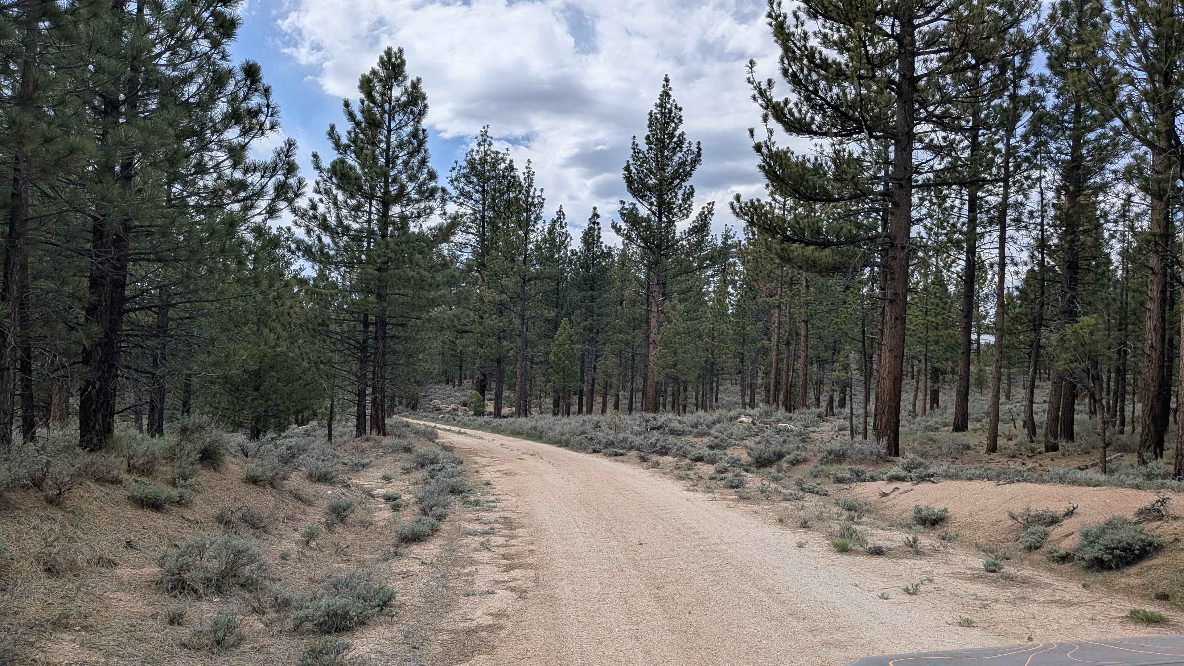
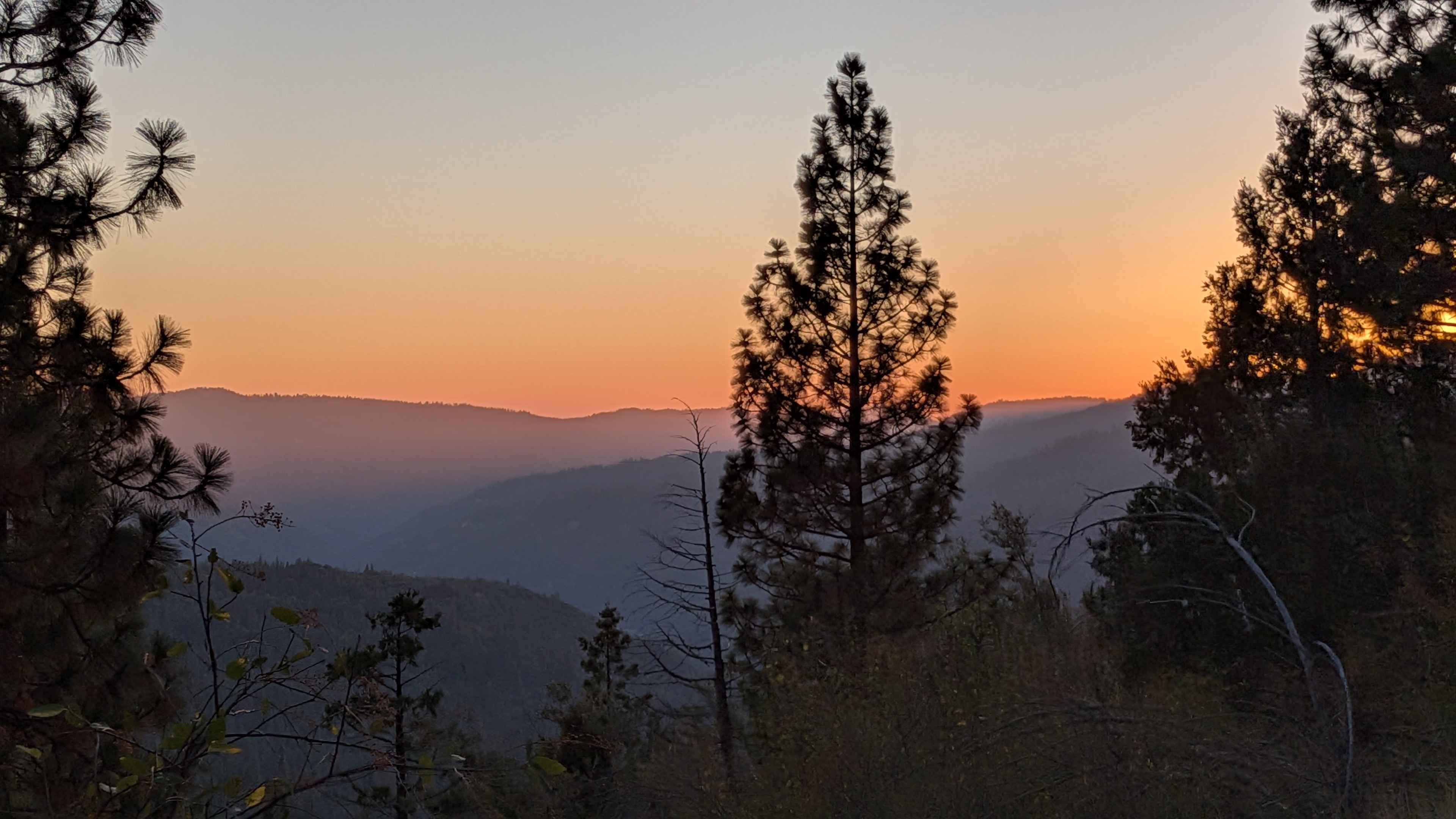
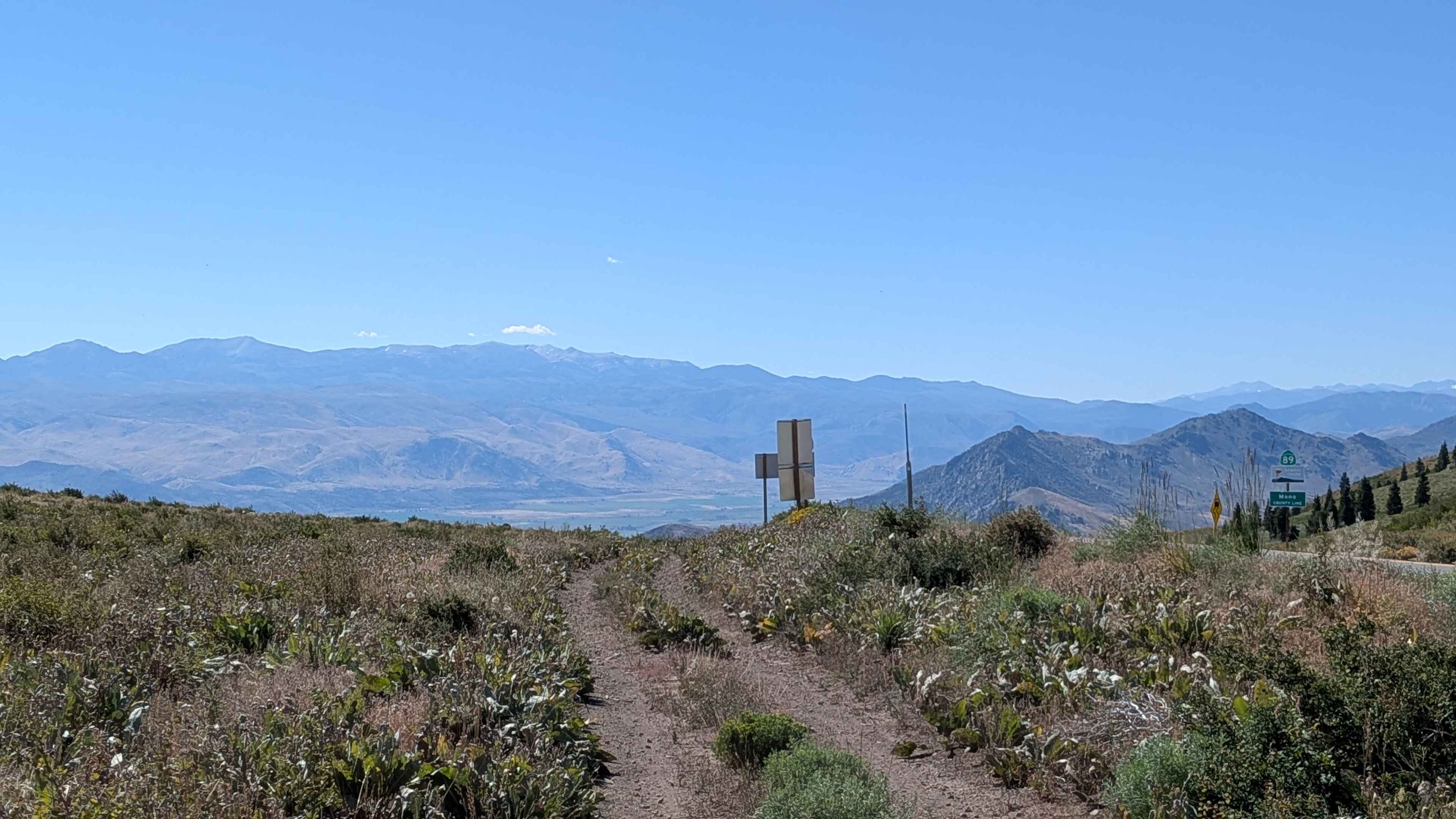
This 3.1-mile connector is a true mixed bag of surfaces, offering a little bit of everything as it links Sky Ranch Road (FS 6S010) to the Beasore Loop (FS 6S010X). The trail is defined by its constantly changing tread, shifting between broken, potholed pavement, smooth sandy dirt, patches of decomposed granite (DG), and sections of embedded rock. Winding through a healthy, towering pine forest, the route offers a scenic and shaded drive, with occasional glimpses of the surrounding peaks. While generally easy, the varied surface keeps drivers engaged, requiring attention to avoid the deeper potholes and rocky protrusions. It serves as a fantastic access road to key local landmarks, including the famous Jones Store for burgers and the scenic North Rock dispersed camping area.
Photos of Save the Rock - FS 5S039
Difficulty
This trail is accessible to all high-clearance passenger vehicles, including crossovers and SUVs. The rating is a solid 2 due to the deteriorating pavement and potholes, which can be jarring if hit at speed, along with sections of embedded rock and loose gravel. While 4WD is not strictly required, the uneven surface demands a slower pace than a standard graded road. It's a bumpy but straightforward drive suitable for any stock SUV.
Status Reports
Save the Rock - FS 5S039 can be accessed by the following ride types:
- High-Clearance 4x4
- SUV
Save the Rock - FS 5S039 Map
Popular Trails
North Rattlesnake - FS 24S33

Shortcut - FS 96-034
Virgil Connell Loop Road - FS 32087
The onX Offroad Difference
onX Offroad combines trail photos, descriptions, difficulty ratings, width restrictions, seasonality, and more in a user-friendly interface. Available on all devices, with offline access and full compatibility with CarPlay and Android Auto. Discover what you’re missing today!