BLM C3524
Total Miles
2.4
Technical Rating
Best Time
Spring, Fall
Trail Type
Full-Width Road
Accessible By
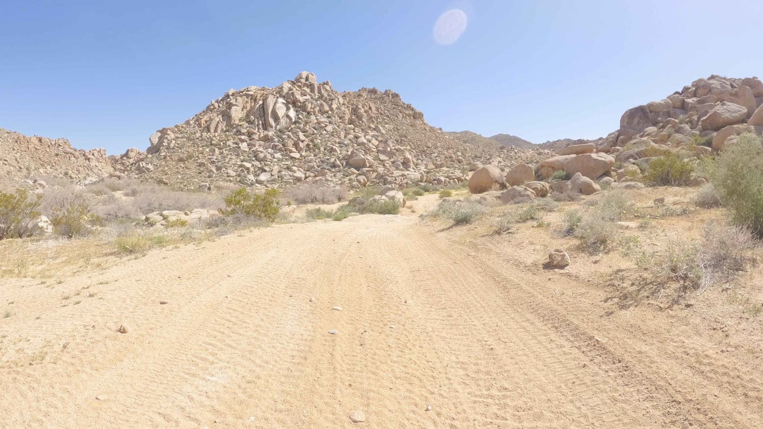
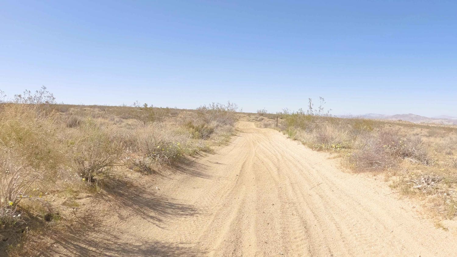
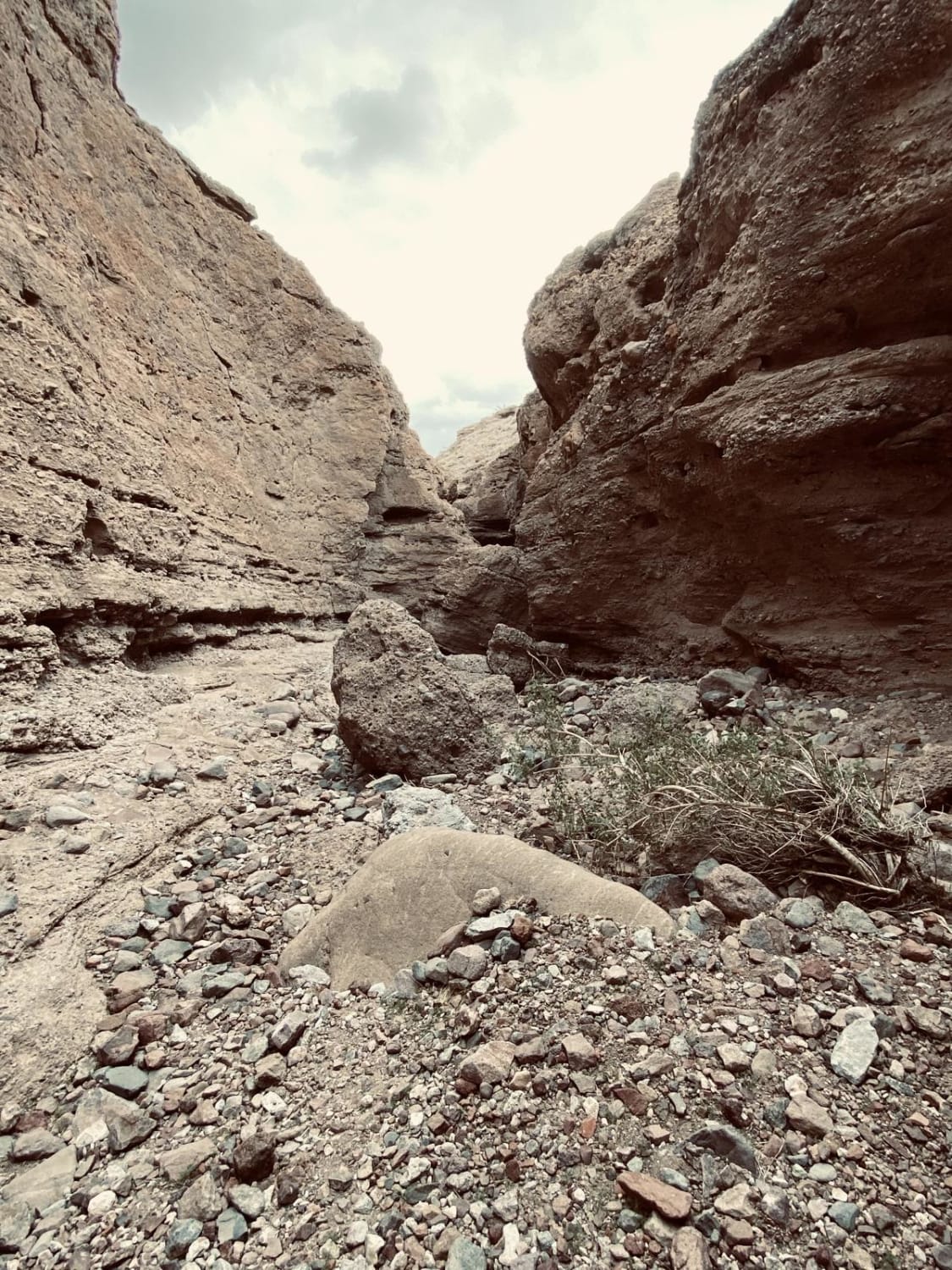
Trail Overview
BLM #C3524 is a mellow, sandy road that climbs from Highway 18 up into the boulders at the NE corner of the Bighorn Wilderness boundary. It is only rated a two because of a couple of spots crossing washes with deep sand that require lower air pressure and occasionally 4WD. At its Southern terminus, it connects with BLM #C3520 and other adjacent unnamed trails to create additional exploration opportunities. There are numerous unmarked dispersed camping opportunities in this area. As always in the desert, carry extra water and be snake aware whenever out of the vehicle.
Photos of BLM C3524
Difficulty
This is an easy sand trail.
Status Reports
BLM C3524 can be accessed by the following ride types:
- High-Clearance 4x4
- SUV
- SxS (60")
- ATV (50")
- Dirt Bike
BLM C3524 Map
Popular Trails
West Side Road - DVNP
North Fork San Felipe Wash
Gargoyle Canyon
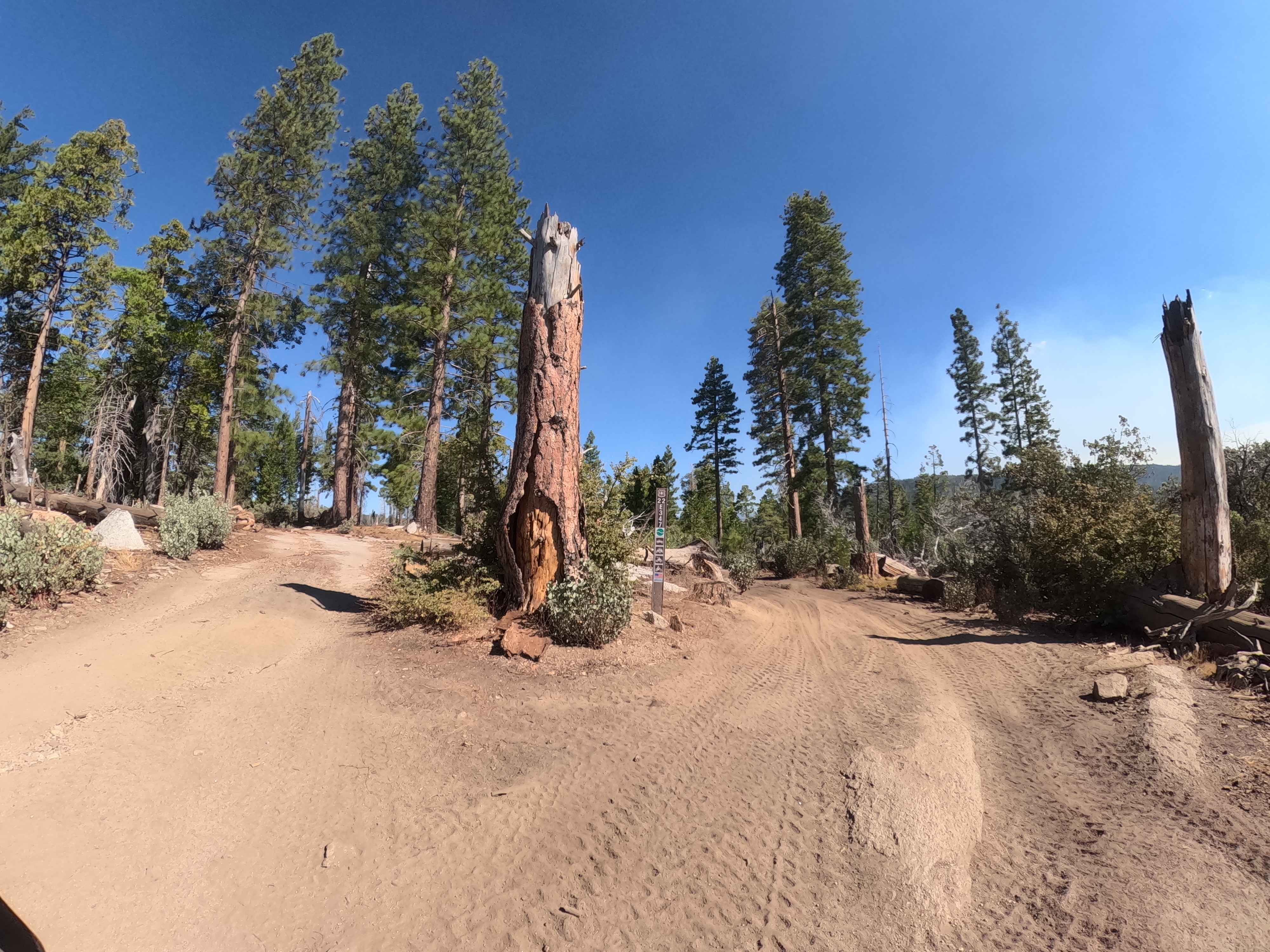
Vista Dome Spur - FS 22E347
The onX Offroad Difference
onX Offroad combines trail photos, descriptions, difficulty ratings, width restrictions, seasonality, and more in a user-friendly interface. Available on all devices, with offline access and full compatibility with CarPlay and Android Auto. Discover what you’re missing today!