Boca Hill
Total Miles
2.4
Technical Rating
Best Time
Fall, Summer, Spring
Trail Type
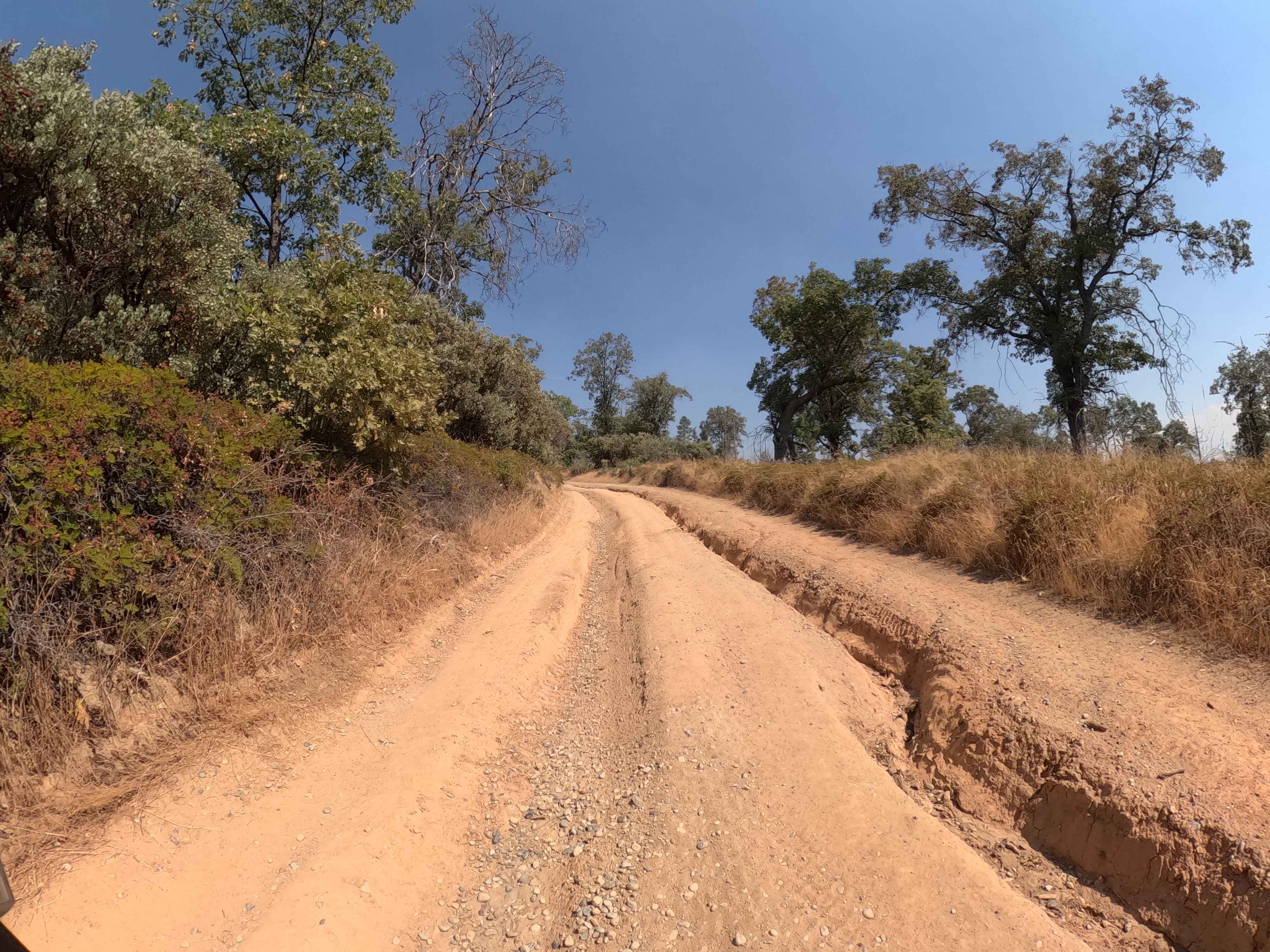
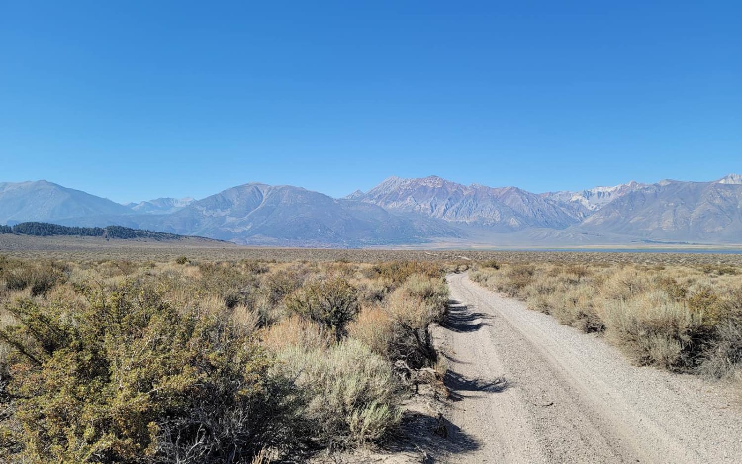
Full-Width Road
Accessible By
Trail Overview
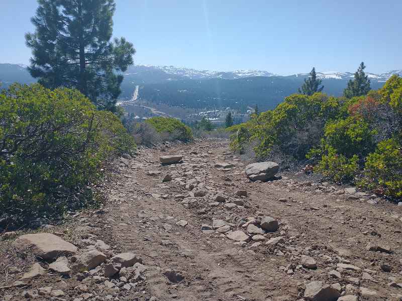
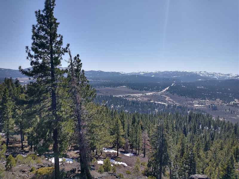
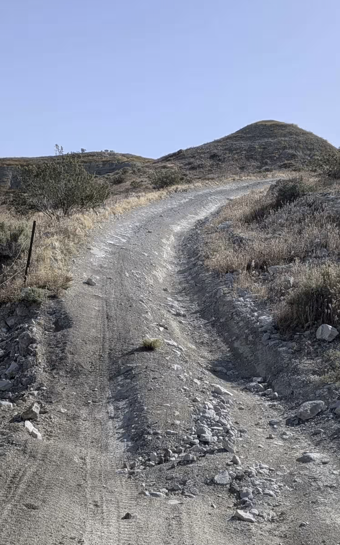
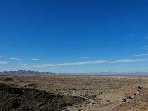
Boca Hill Trail is a 2.5 mile trail. The trail passes the peak of Boca Hill, a great place to stop and get some pictures from above I-80 with many peaks in the background. The trail turns left and heads toward a rock outcrop that acts as a viewpoint overlooking Prosser and Boca reservoirs with many peaks in the background including Sierra Crest and Verdi Peak. From the top you will have to backtrack a bit before you can pick a new way down. There are many trails in this area and most are in good enough condition for a stock SUV with a bit of driver skill.
Photos of Boca Hill
Difficulty
The trail is pretty easy however there are a couple bigger rocks and one fairly steep section that will take some care to get up in a stock SUV.
Status Reports
Boca Hill can be accessed by the following ride types:
- High-Clearance 4x4
- SUV
- SxS (60")
- ATV (50")
- Dirt Bike
Boca Hill Map
Popular Trails
Ponderosa Fire Line - Upper - FS 6S017
3S151 Crowley Lake Trail
Alice Mine
The onX Offroad Difference
onX Offroad combines trail photos, descriptions, difficulty ratings, width restrictions, seasonality, and more in a user-friendly interface. Available on all devices, with offline access and full compatibility with CarPlay and Android Auto. Discover what you’re missing today!