Bucks Meadow Road
Total Miles
3.9
Technical Rating
Best Time
Summer, Fall, Spring
Trail Type
Full-Width Road
Accessible By
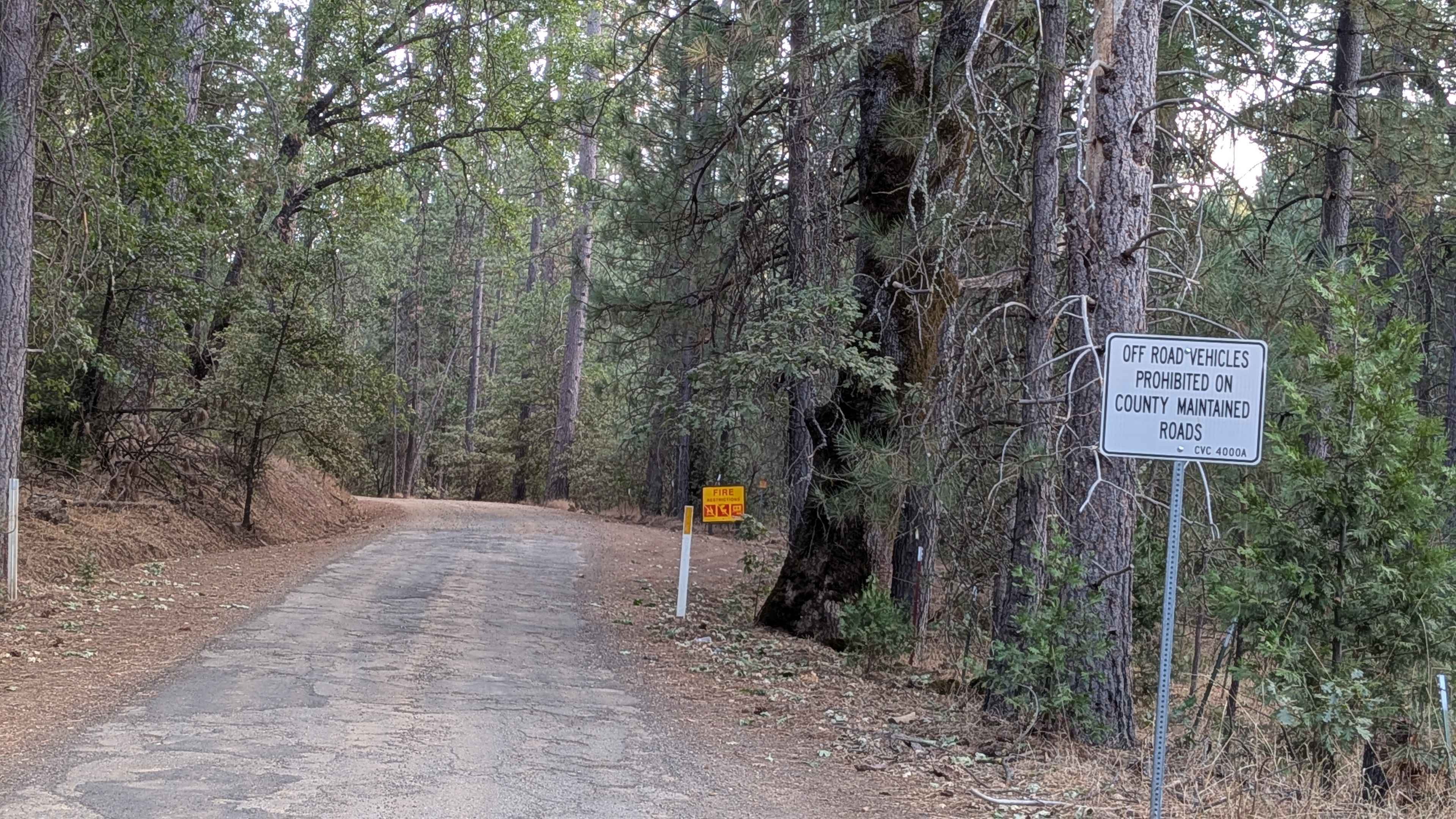
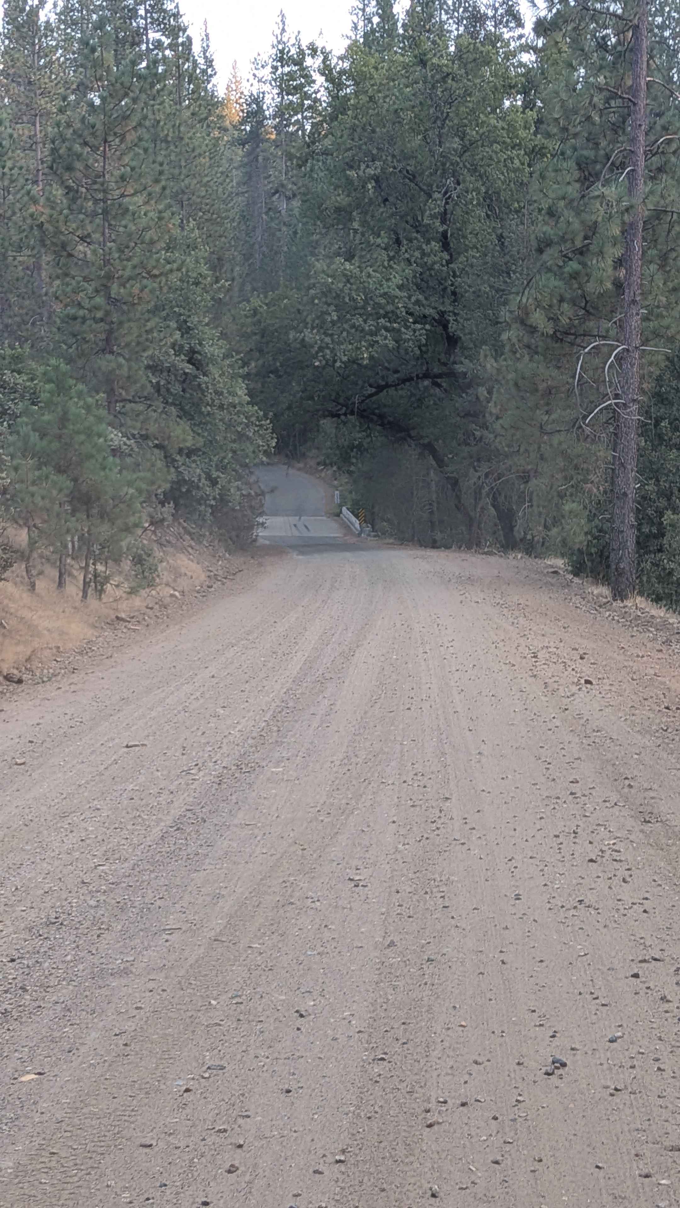
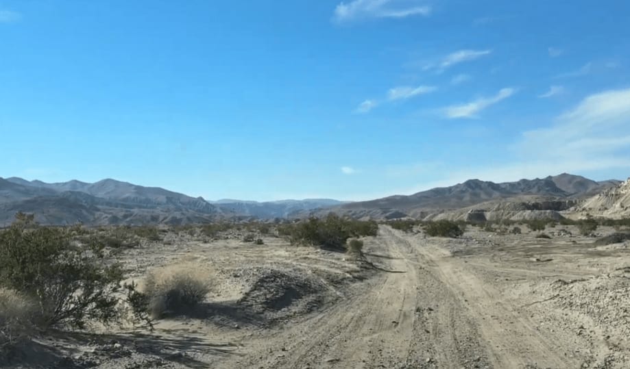
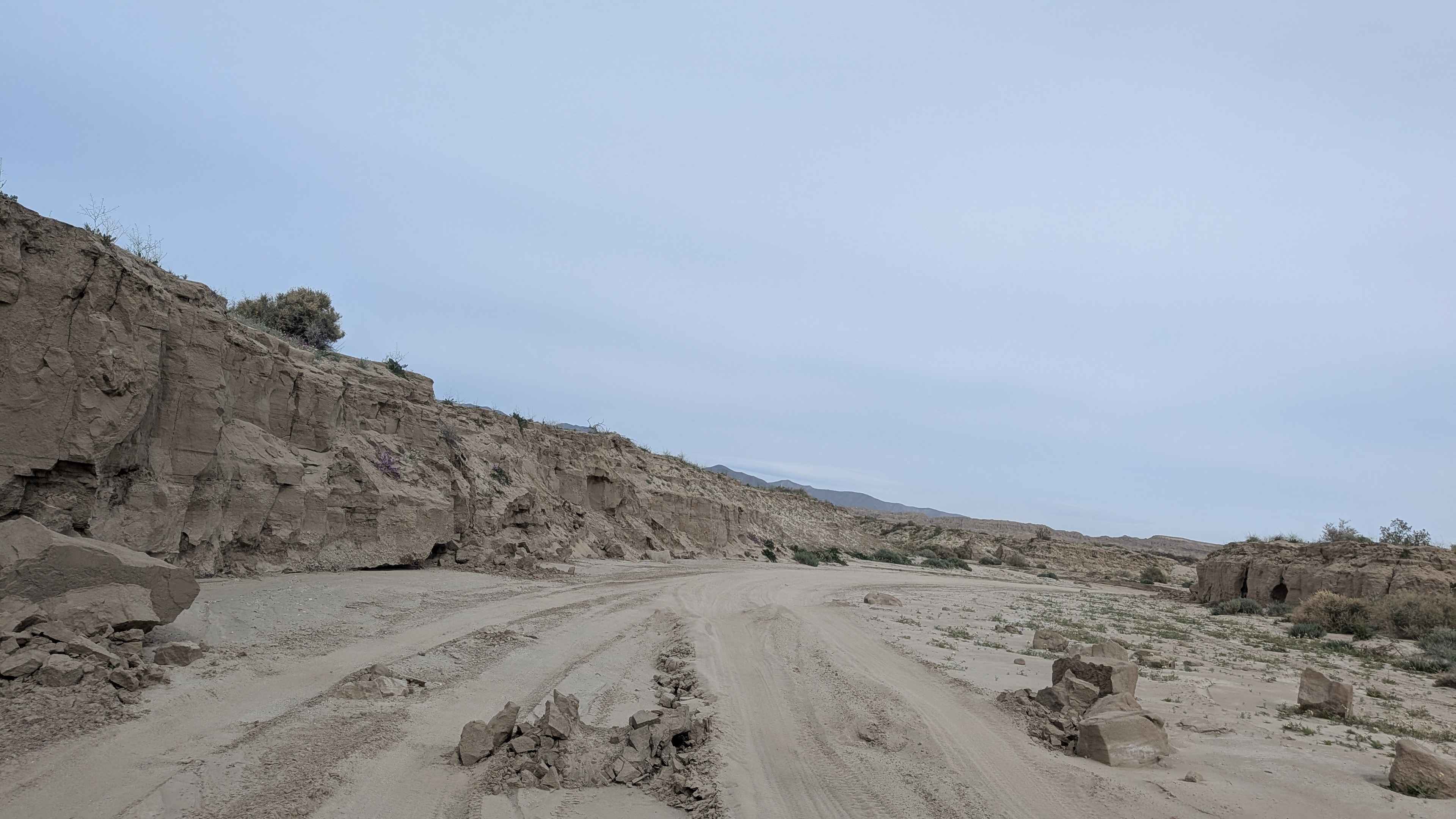
Trail Overview
This trail begins in Bucks Meadow just off Highway 120 and ends at Bull Creek Road, covering a primarily downhill route that drops almost 800 feet while gaining only 185 feet over just under 6 miles when traveling north to south. As a county-maintained road, only street-legal vehicles are permitted, making this accessible to a wide range of standard vehicles rather than specialized off-road equipment. The route requires awareness of seasonal fire restrictions that can affect access during high-risk periods. The trail maintains a two-vehicle-wide configuration with partially graded sand and dirt surfaces that create very dusty conditions, particularly during dry periods and when multiple vehicles are present. Lined with trees and brush throughout its length, the route provides natural shade and scenic forest driving. Wildlife encounters are common and include deer, turkey, and cattle, requiring drivers to maintain appropriate speeds and awareness. The trail follows a shelf road positioned just above a creek below, offering pleasant water views and sounds during the descent. Several mining claims exist in the area, requiring respect for private property and existing operations along the route.
Photos of Bucks Meadow Road
Difficulty
This trail receives a difficulty rating appropriate for street-legal vehicles, indicating easy conditions suitable for most standard vehicles with adequate ground clearance. The county maintenance, wide configuration, and primarily downhill nature make this accessible to drivers of varying experience levels.
History
Buck Meadows, near Groveland, began as Hamilton's Station, a stage stop in the 1870s established by Alva Hamilton, and later developed with a Post Office from 1915-1925. The area also has a history of settlement and land ownership dating back to the 1860s, with John Ratto, a French settler named Peri, and the Yosemite Power Company developing the property around the turn of the 20th century. The land retains evidence of its earliest inhabitants, with acorn grinding pits found on the property.
Status Reports
Bucks Meadow Road can be accessed by the following ride types:
- High-Clearance 4x4
- SUV
Bucks Meadow Road Map
Popular Trails
Otay Mountain Truck Trail West
Black Mountain - FS 32E360
Cady Mountain Loop - Part 1
Dump Wash Lateral
The onX Offroad Difference
onX Offroad combines trail photos, descriptions, difficulty ratings, width restrictions, seasonality, and more in a user-friendly interface. Available on all devices, with offline access and full compatibility with CarPlay and Android Auto. Discover what you’re missing today!