Bull Creek Road South
Total Miles
4.4
Technical Rating
Best Time
Fall, Summer, Spring
Trail Type
Full-Width Road
Accessible By
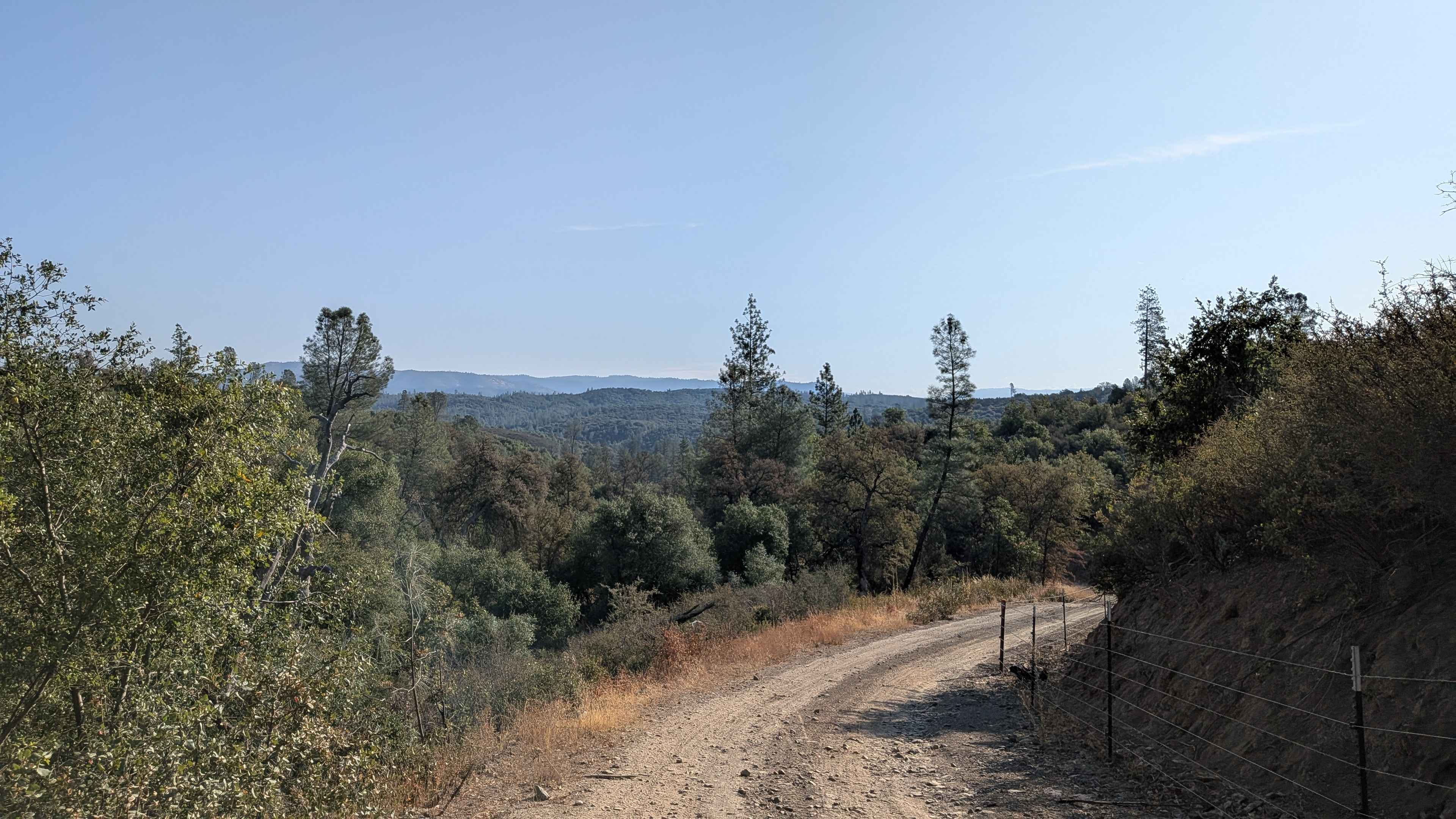
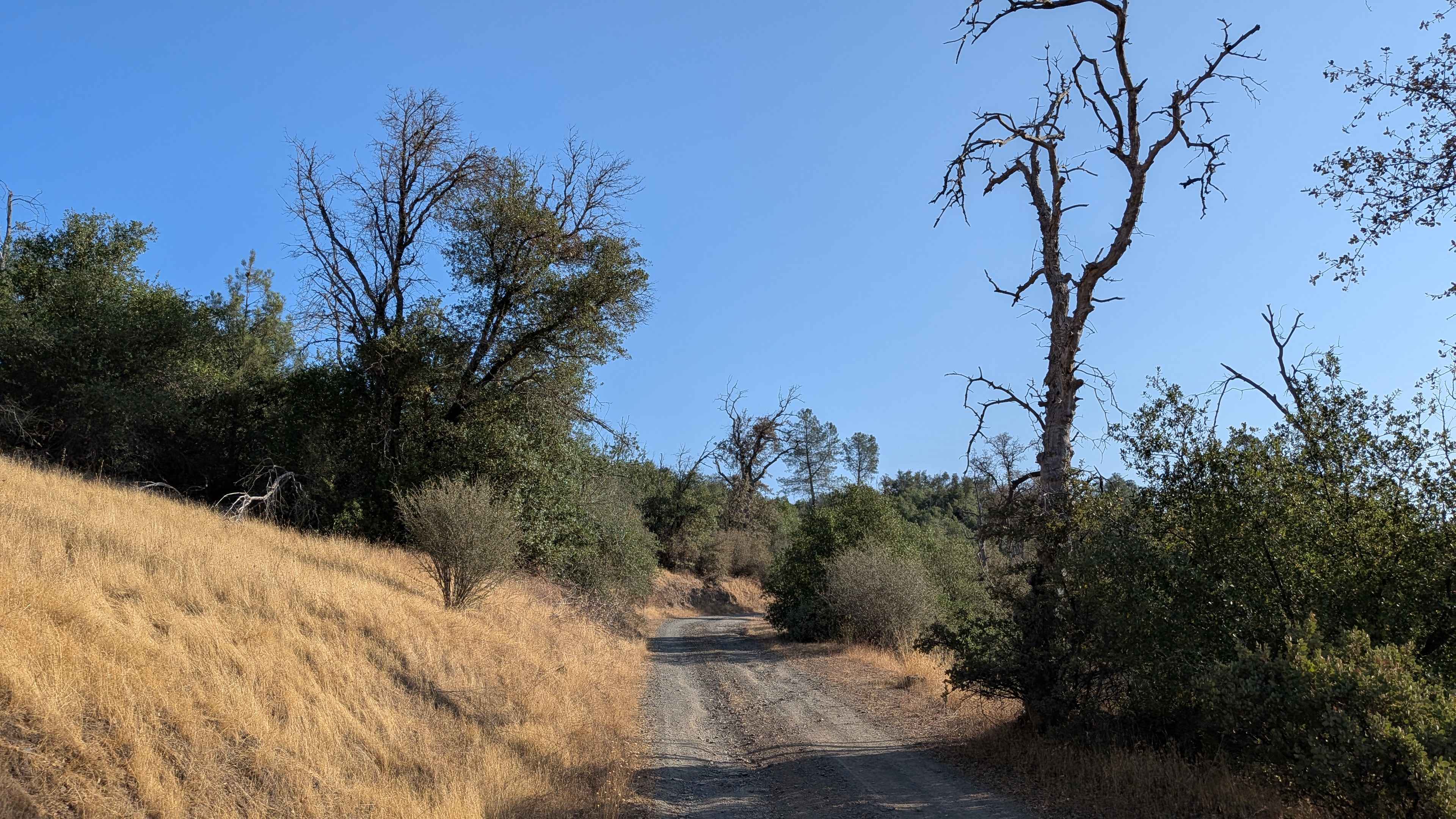
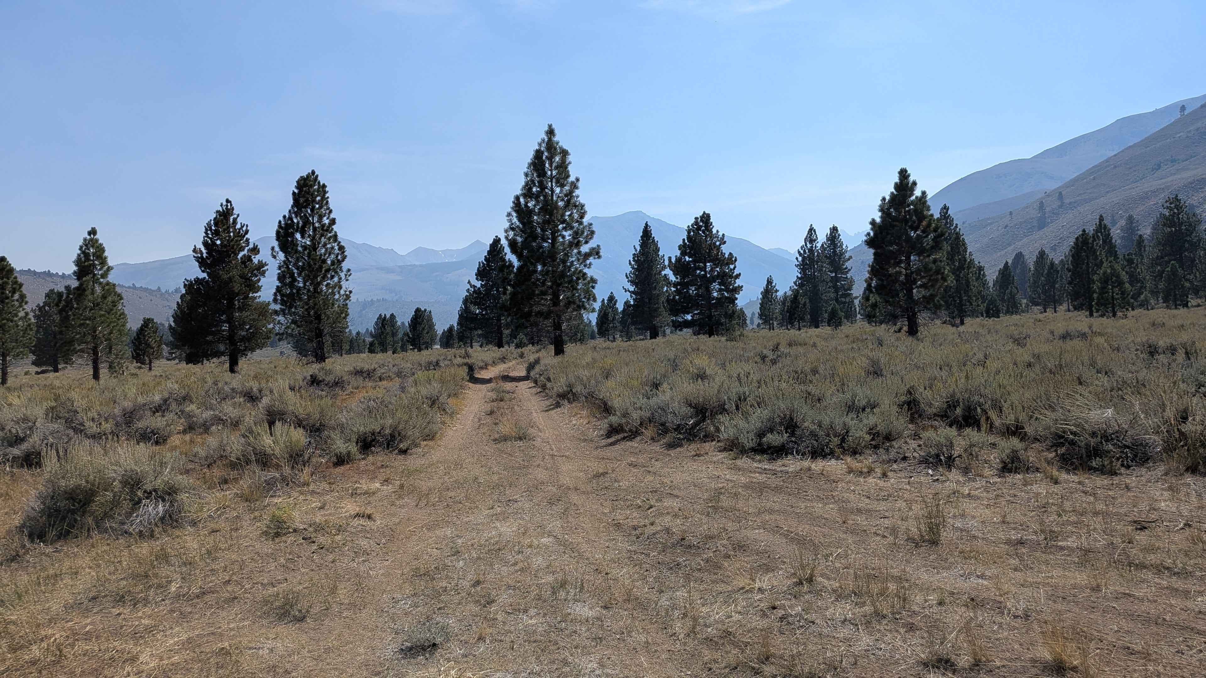
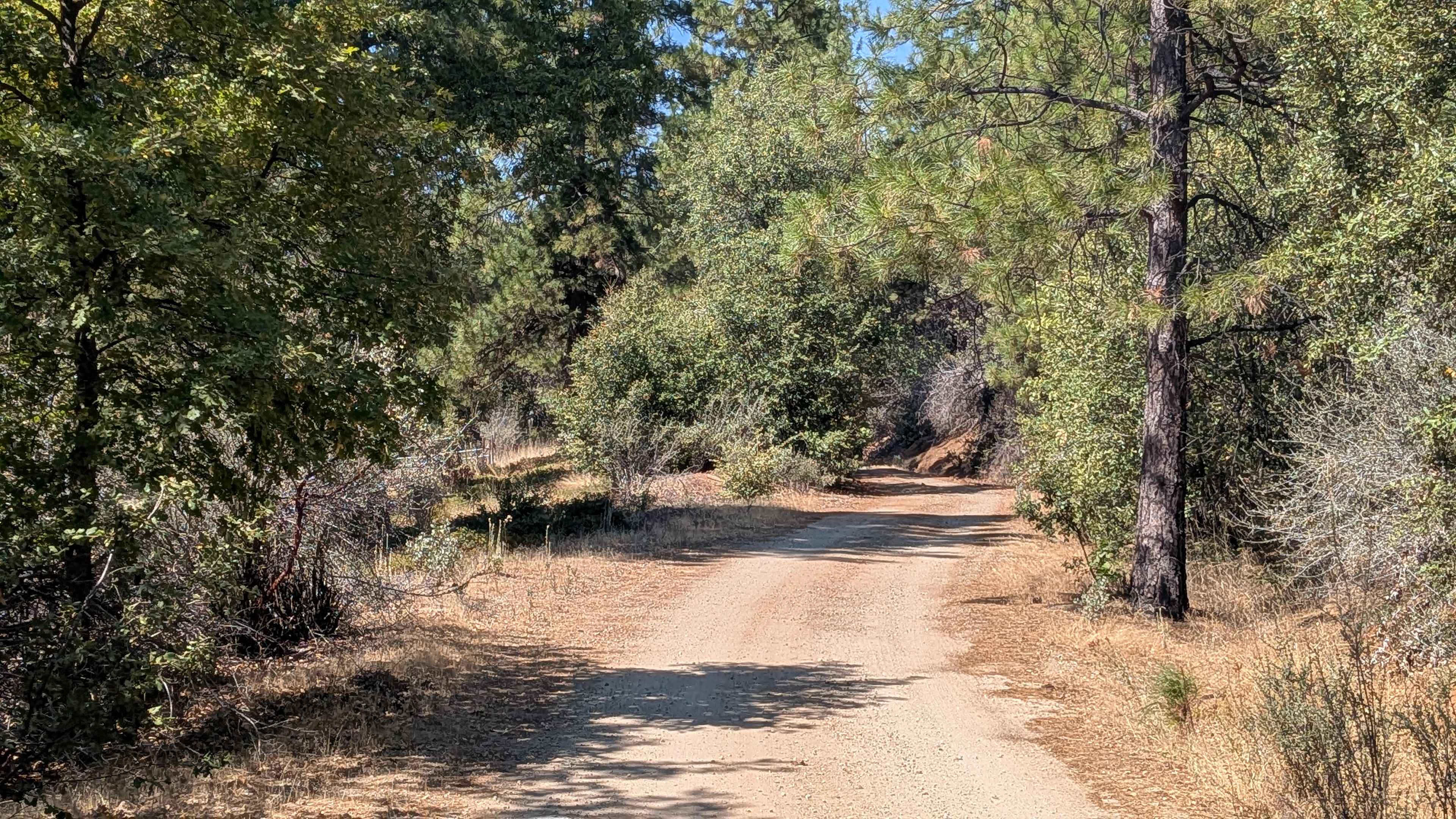
Trail Overview
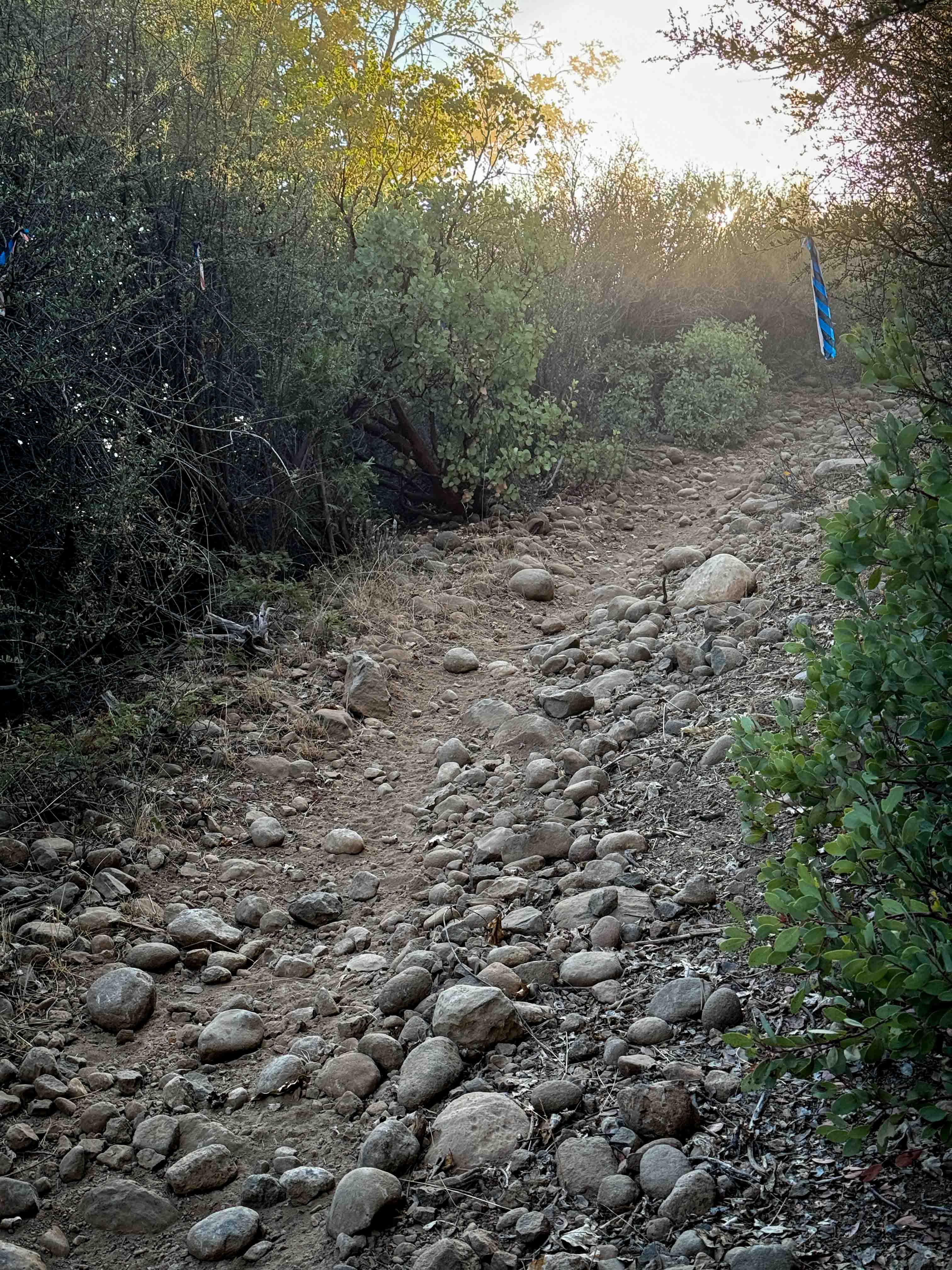
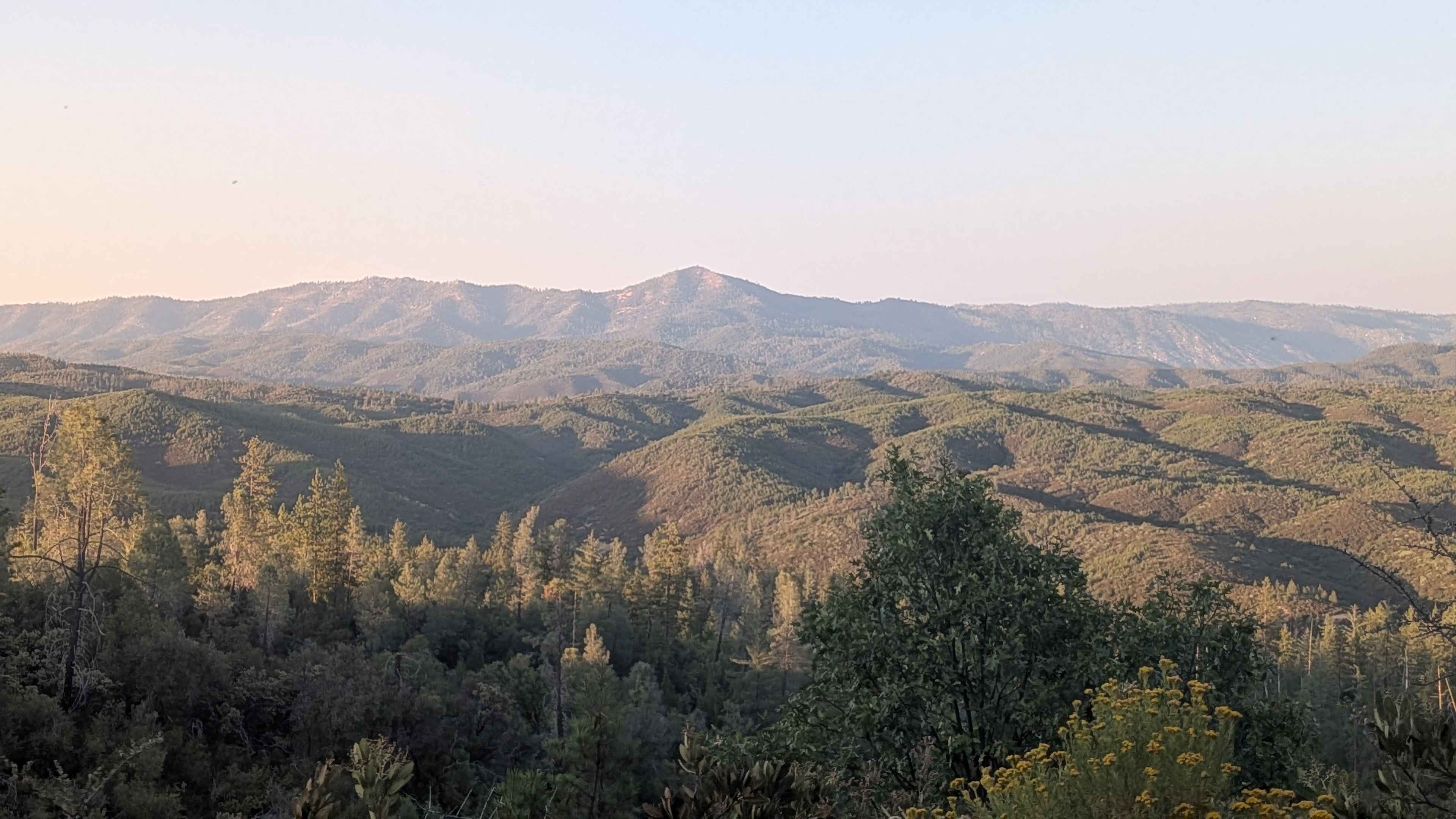
Bull Creek Road South climbs 622 feet and drops just over 300 feet in 4.4 miles. The surface is packed dirt and sand, starting off about one and a half vehicles wide before narrowing in sections. This is a shelf road that climbs steadily after Burma Grade, providing expansive views of the valleys below, along with the hills and mountains in the distance. There are also a few spur trails branching off for additional exploration. It does run through private land, so be respectful. Street legal vehicles only.
Photos of Bull Creek Road South
Difficulty
The road is generally manageable but has narrow shelf sections and loose dirt that require attention. High clearance is recommended, and drivers should be prepared to meet oncoming traffic in tighter spots.
Bull Creek Road South can be accessed by the following ride types:
- High-Clearance 4x4
- SUV
Bull Creek Road South Map
Popular Trails
LaBrosse Creek Road - FS 32176
Ponderosa Way Cutoff
The onX Offroad Difference
onX Offroad combines trail photos, descriptions, difficulty ratings, width restrictions, seasonality, and more in a user-friendly interface. Available on all devices, with offline access and full compatibility with CarPlay and Android Auto. Discover what you’re missing today!