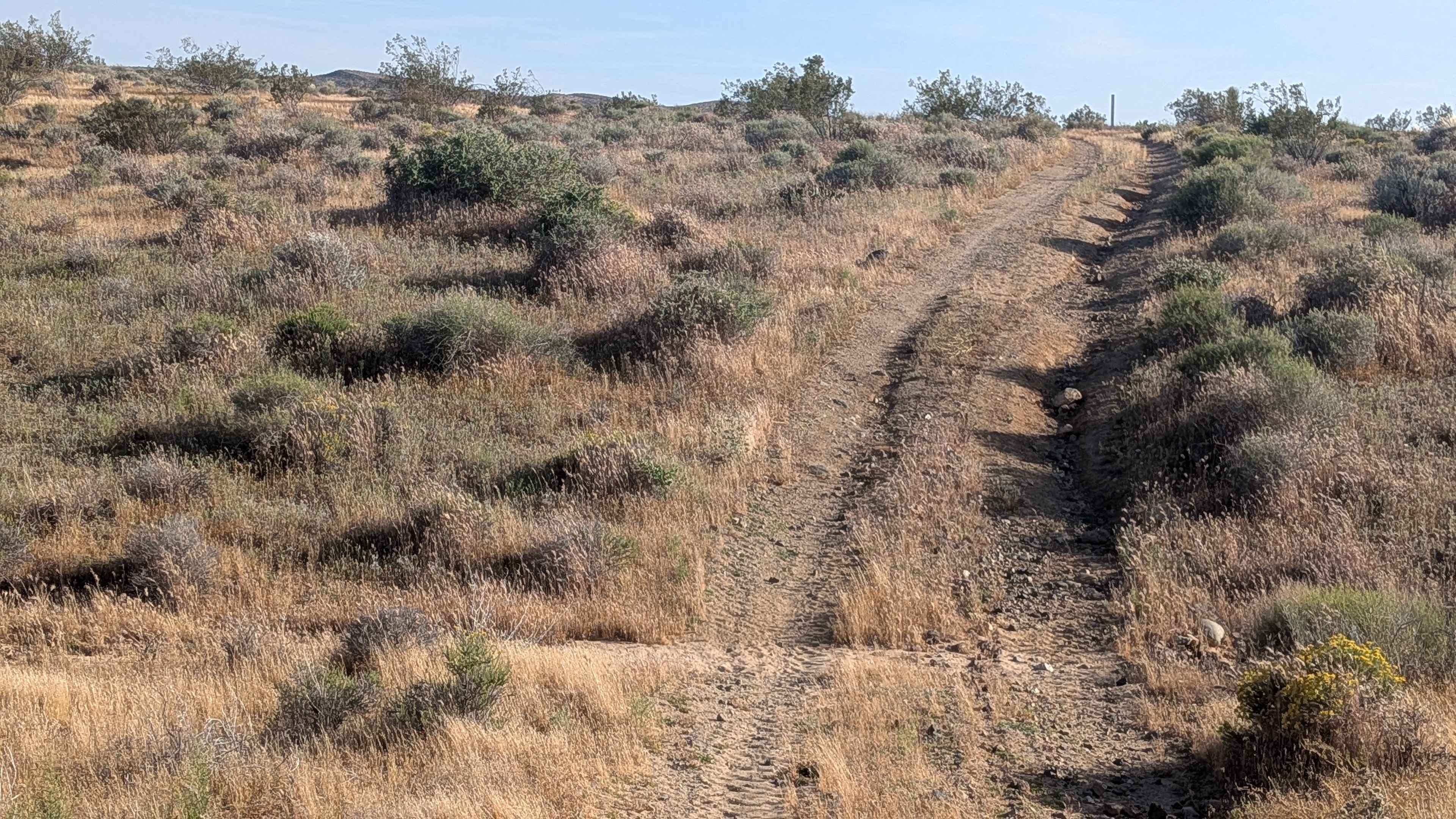
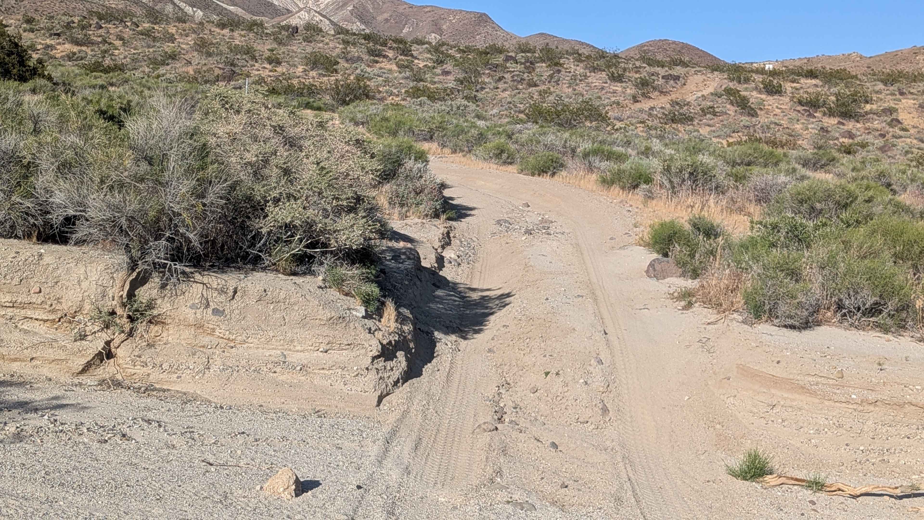
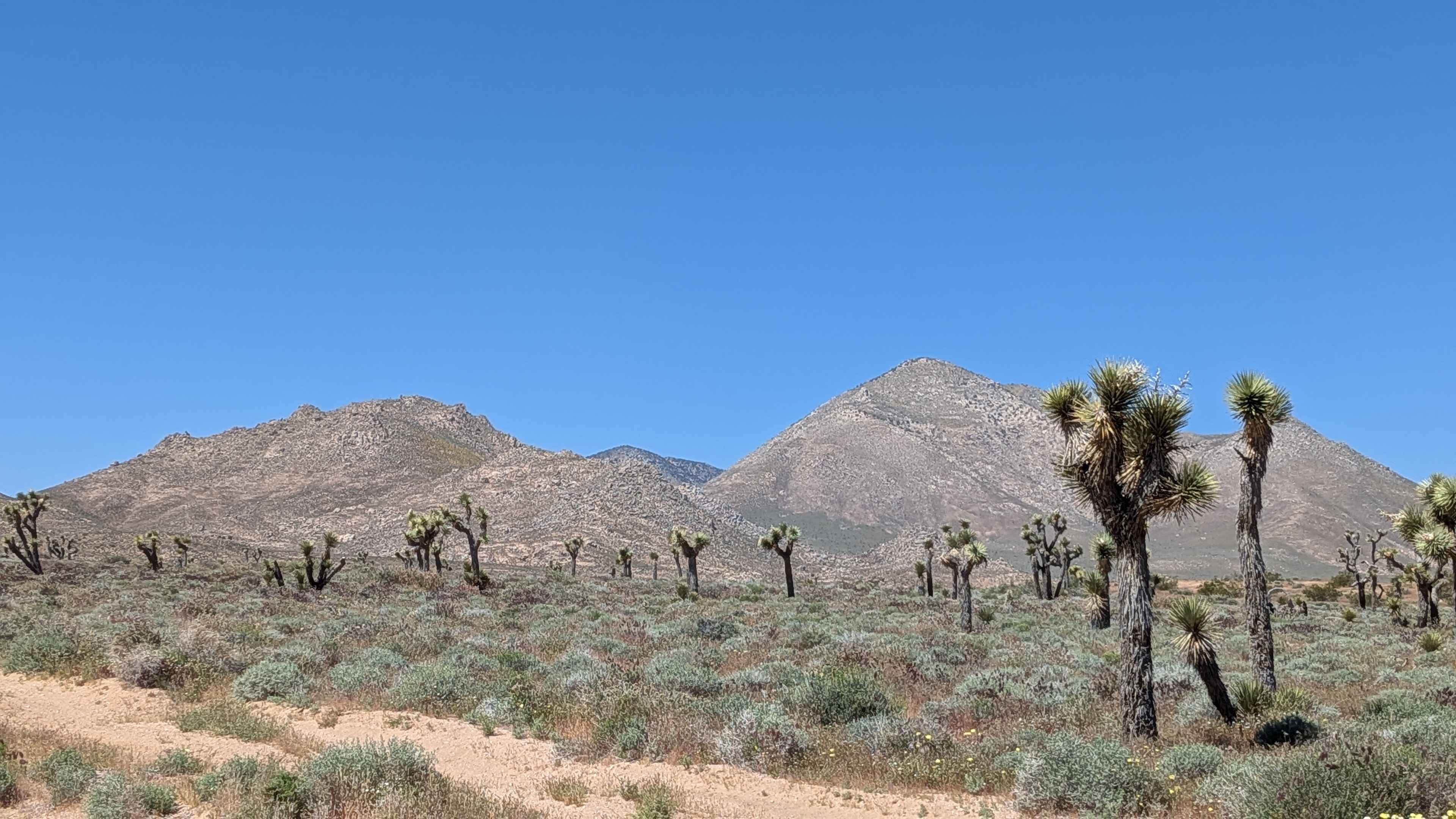
Off-Road Trails in California
Discover off-road trails in California
Learn more about BLM LA1 Highway 178 South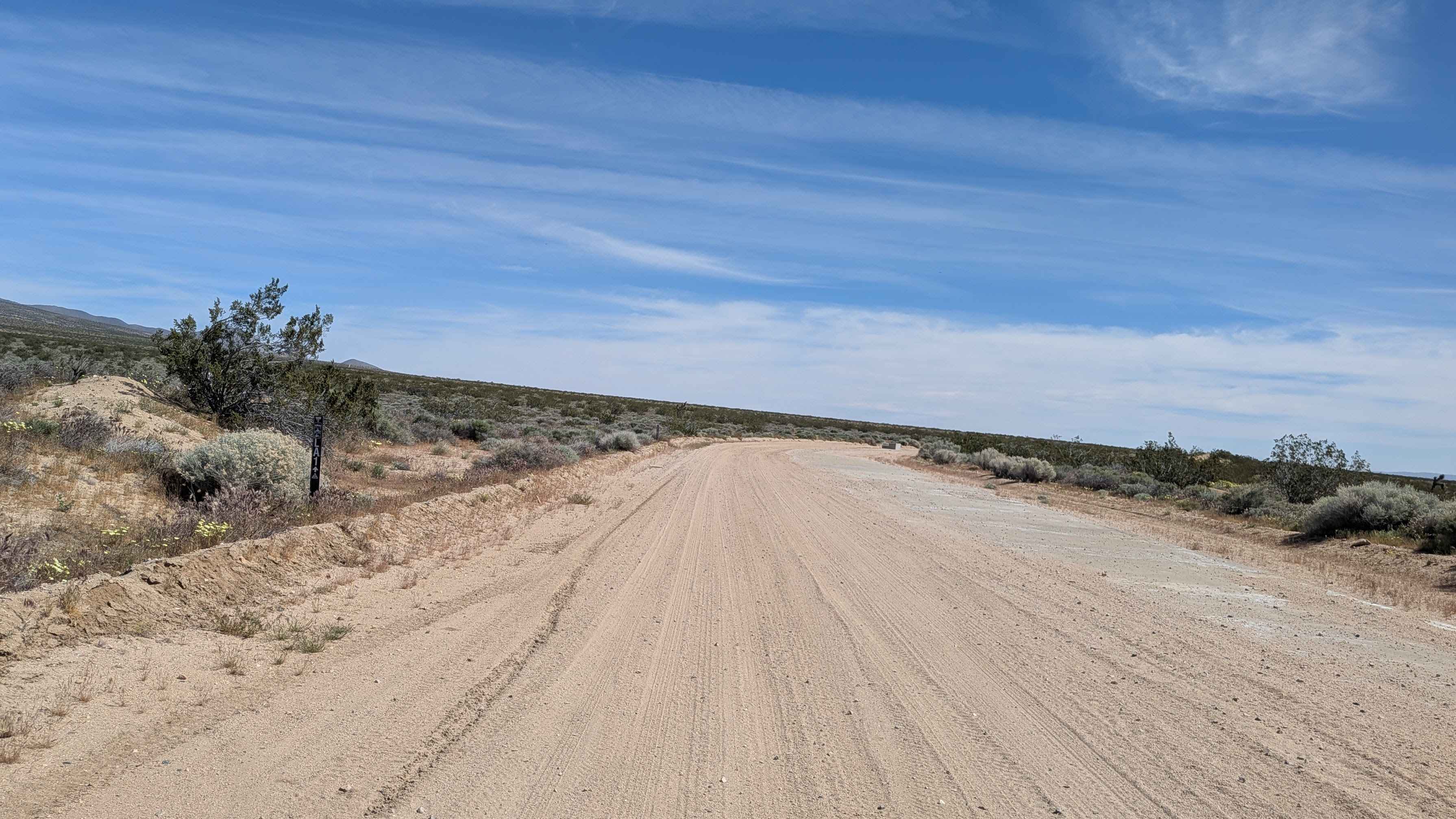
BLM LA1 Highway 178 South
Total Miles
6.2
Tech Rating
Easy
Best Time
Fall, Summer, Spring
Learn more about BLM LA2 Highway 178 South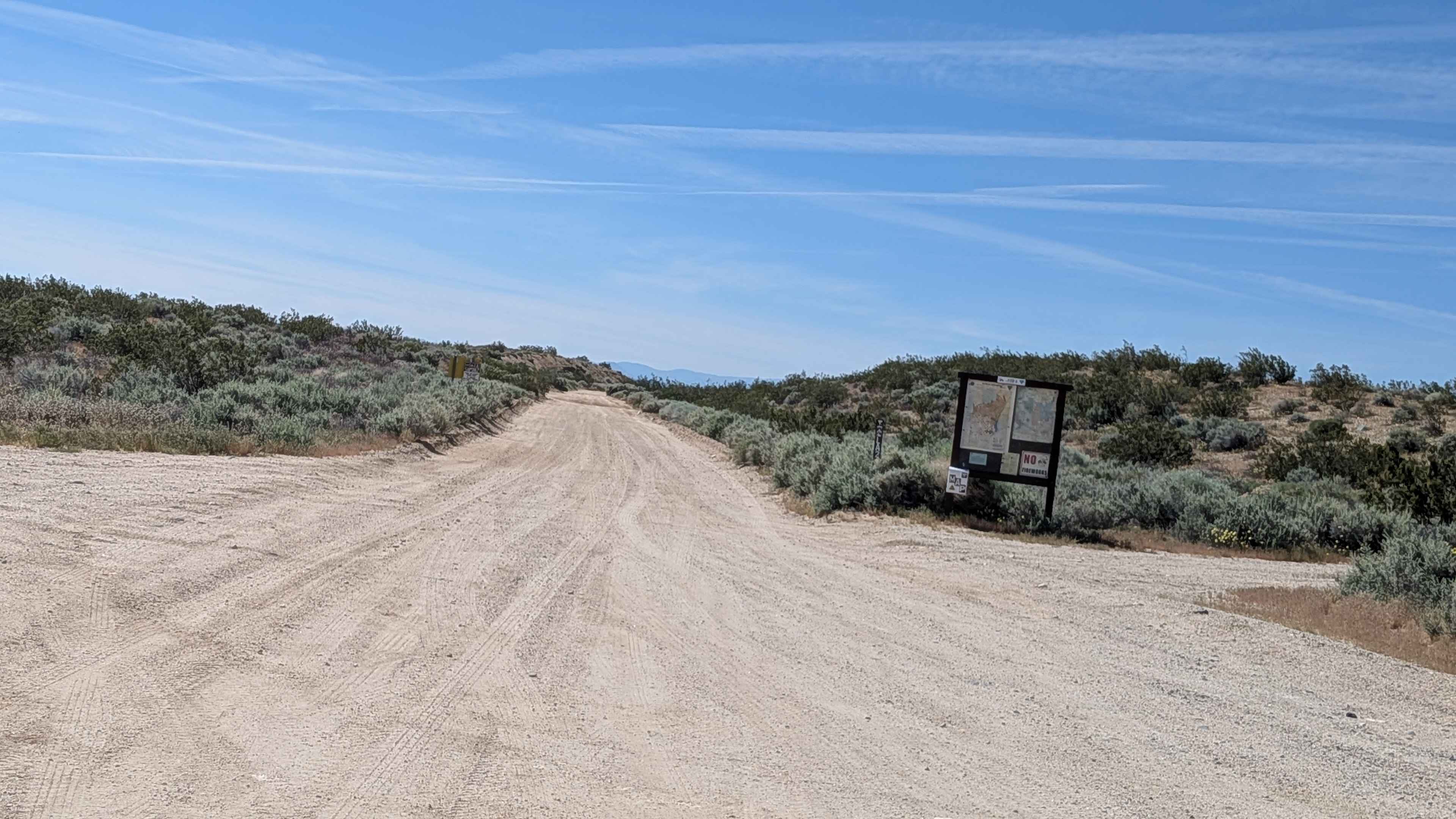
BLM LA2 Highway 178 South
Total Miles
6.2
Tech Rating
Easy
Best Time
Fall, Summer, Spring
Learn more about BLM LA2 Sage Canyon South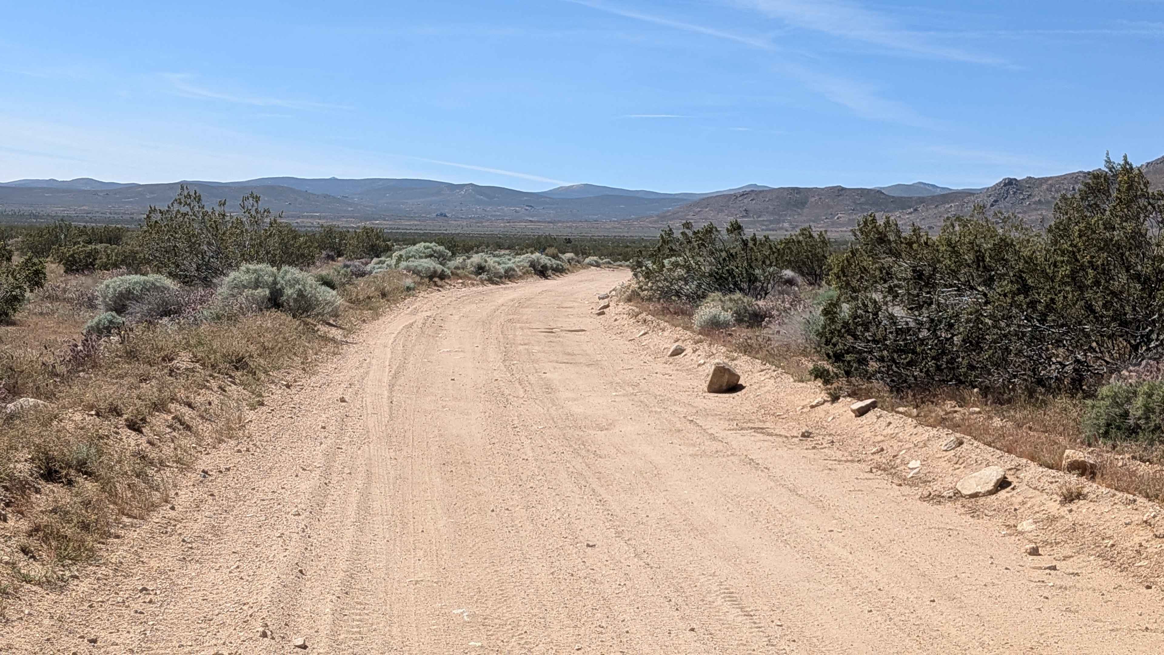
BLM LA2 Sage Canyon South
Total Miles
7.2
Tech Rating
Easy
Best Time
Fall, Summer
Learn more about BLM LAP Dove Springs OHV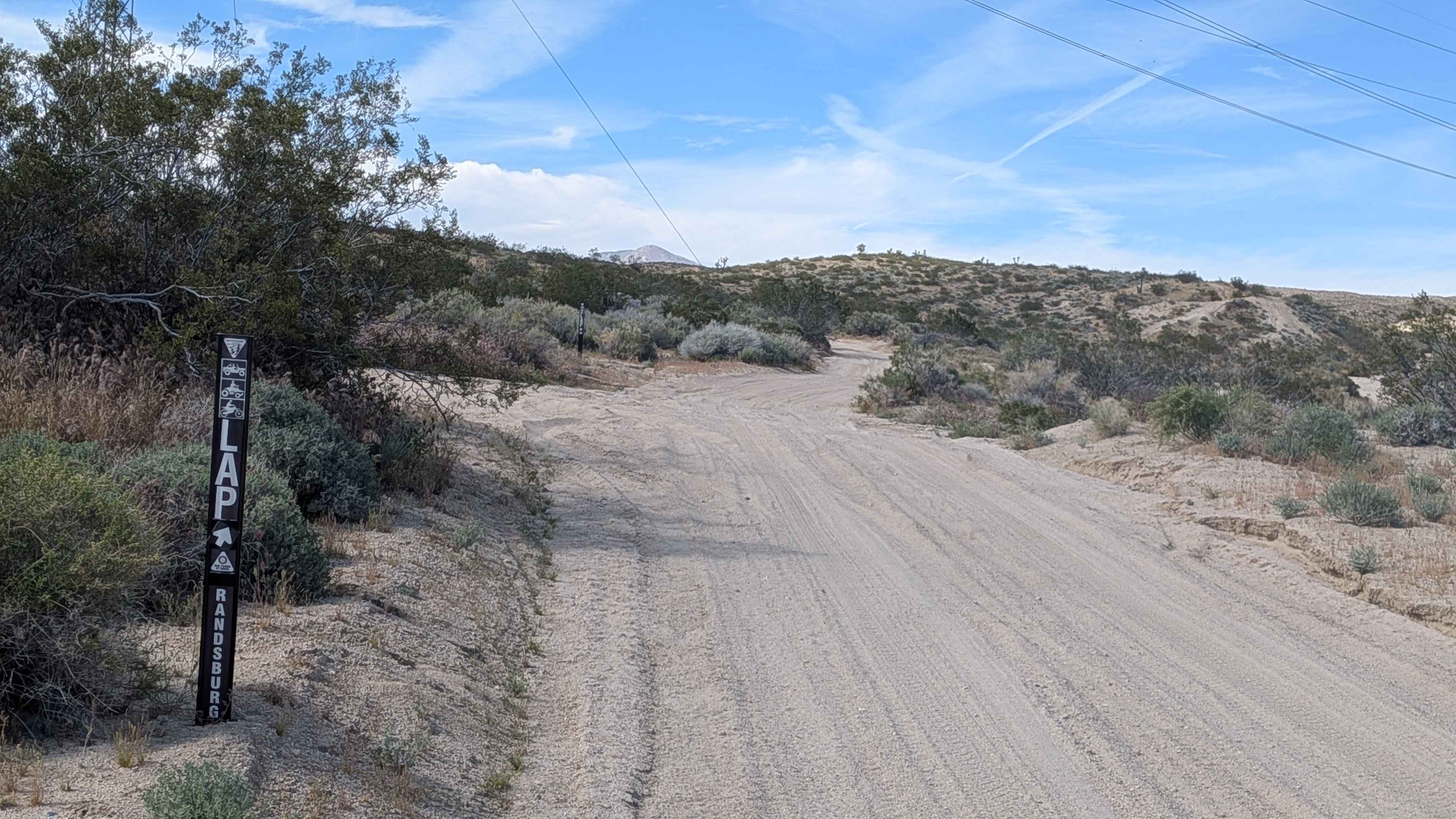
BLM LAP Dove Springs OHV
Total Miles
1.8
Tech Rating
Moderate
Best Time
Summer, Fall, Spring
Learn more about BLM LAP Grapevine Canyon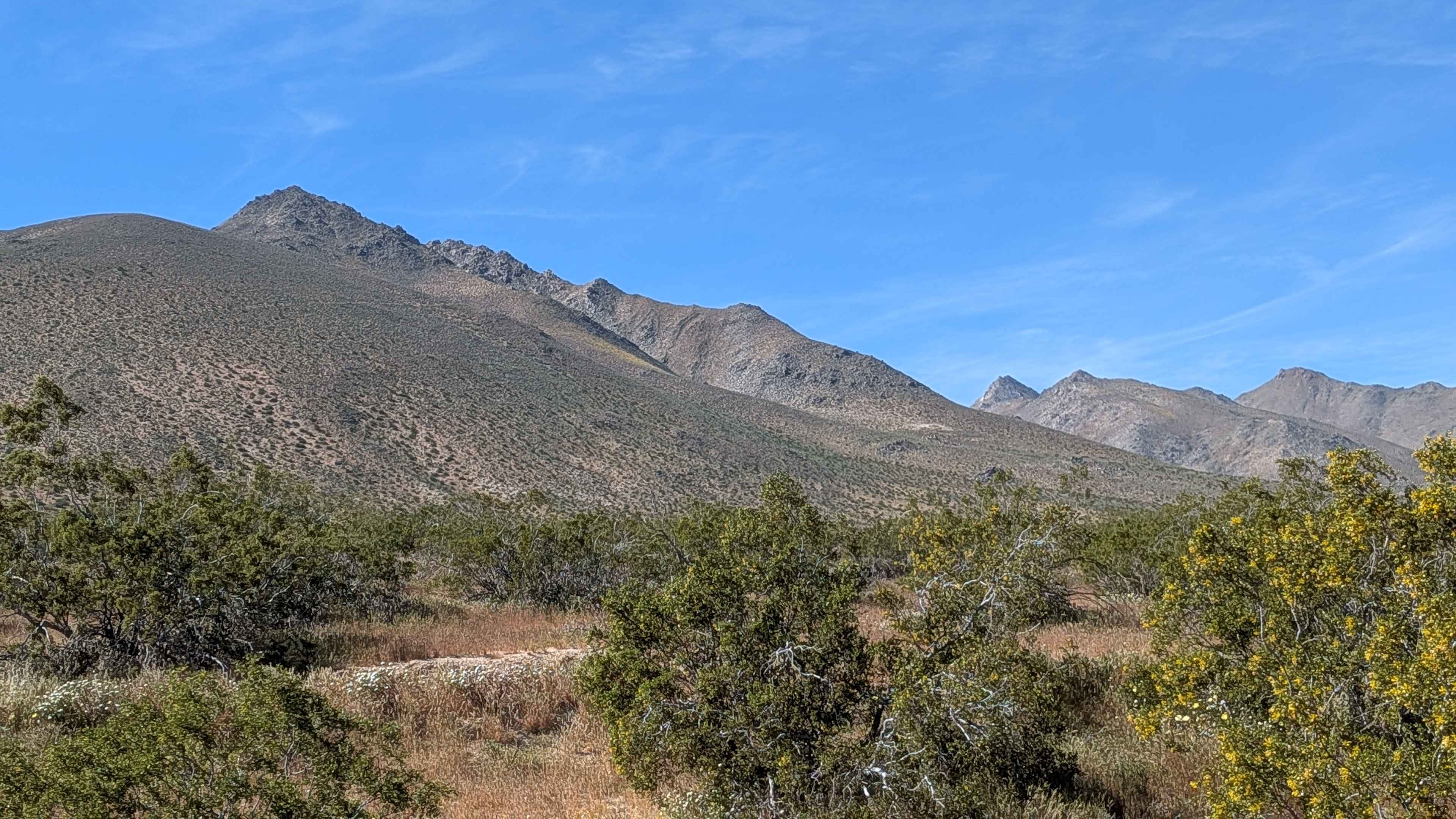
BLM LAP Grapevine Canyon
Total Miles
5.0
Tech Rating
Easy
Best Time
Fall, Summer, Spring
Learn more about BLM LAP Highway 178 South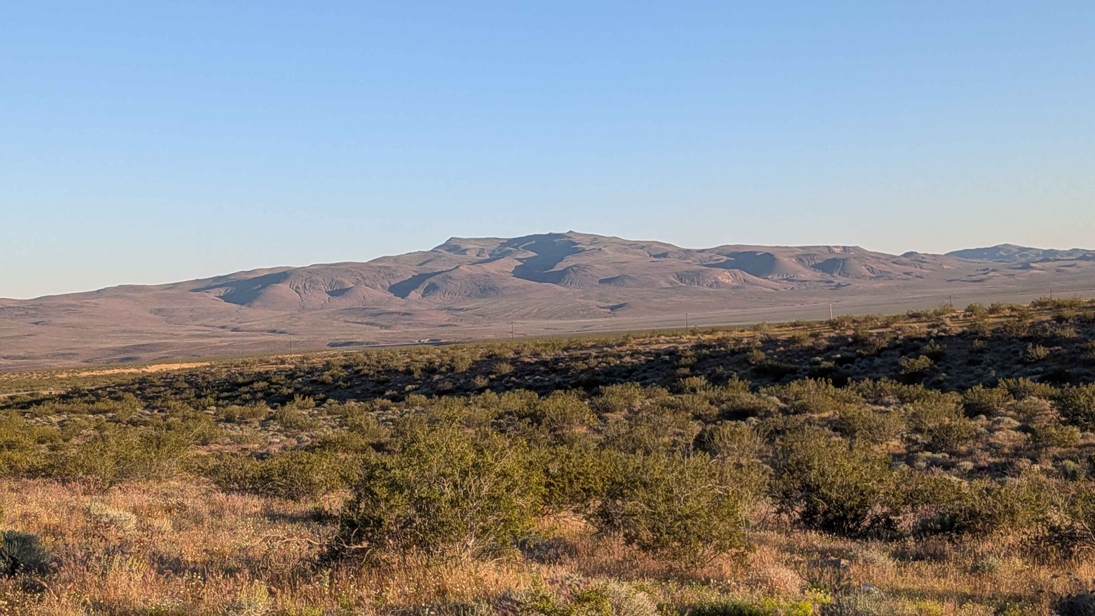
BLM LAP Highway 178 South
Total Miles
3.8
Tech Rating
Easy
Best Time
Fall, Summer, Spring
Learn more about BLM LAP Indian Wells Canyon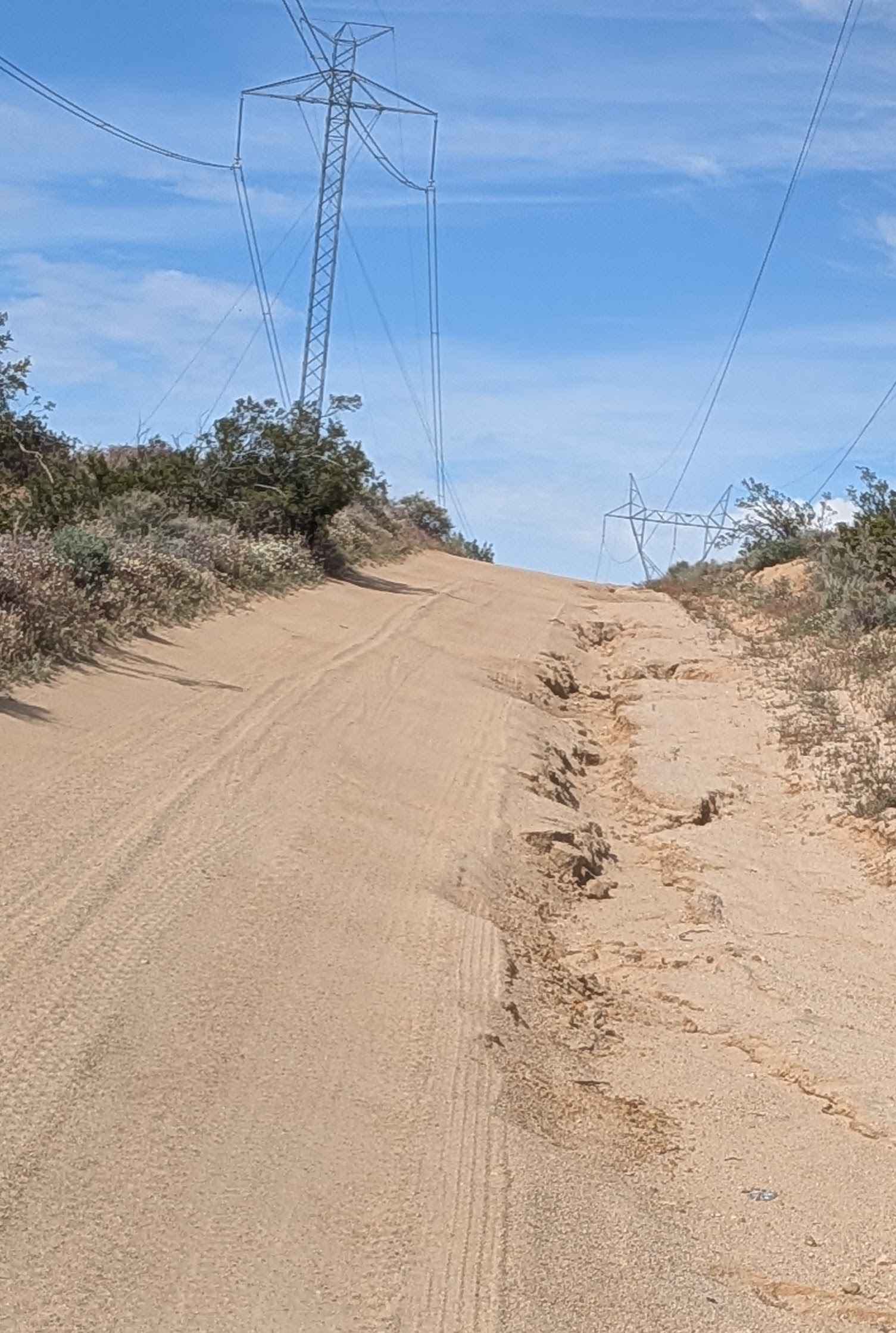
BLM LAP Indian Wells Canyon
Total Miles
3.4
Tech Rating
Moderate
Best Time
Summer, Fall, Spring
Learn more about BLM LAP No Name Canyon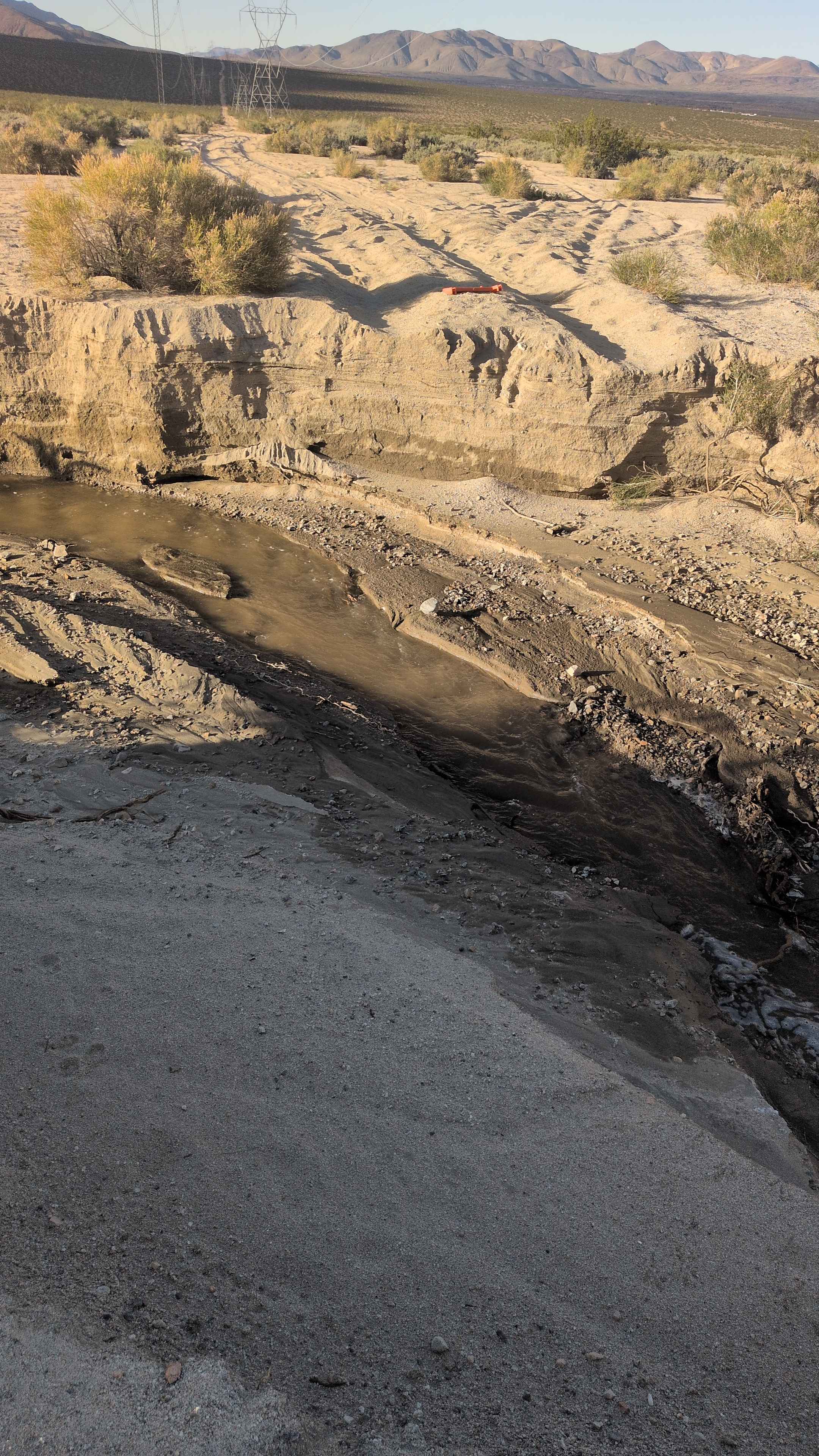
BLM LAP No Name Canyon
Total Miles
0.9
Tech Rating
Easy
Best Time
Fall, Summer, Spring
Learn more about BLM SC103 North
BLM SC103 North
Total Miles
3.8
Tech Rating
Moderate
Best Time
Fall, Summer, Spring
Learn more about BLM SC129
BLM SC129
Total Miles
3.1
Tech Rating
Easy
Best Time
Winter, Fall, Summer, Spring
ATV trails in California


UTV/side-by-side trails in California


Learn more about 3N267 Fenner Saddle (4N12)
3N267 Fenner Saddle (4N12)
Total Miles
3.8
Tech Rating
Difficult
Best Time
Spring, Summer, Fall, Winter

The onX Offroad Difference
onX Offroad combines trail photos, descriptions, difficulty ratings, width restrictions, seasonality, and more in a user-friendly interface. Available on all devices, with offline access and full compatibility with CarPlay and Android Auto. Discover what you’re missing today!