BLM LA2 Sage Canyon South
Total Miles
7.2
Technical Rating
Best Time
Fall, Summer
Trail Type
Full-Width Road
Accessible By
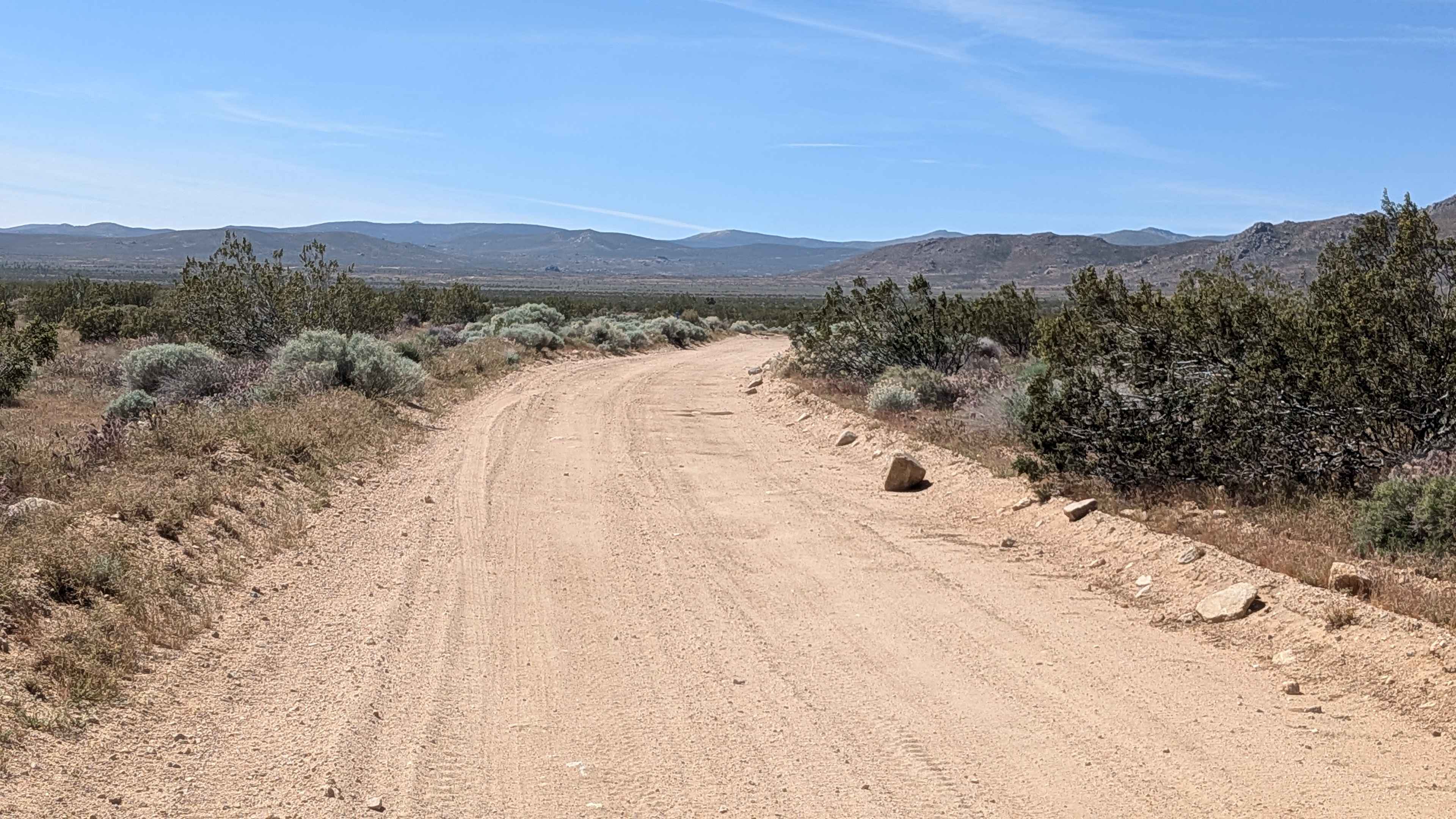
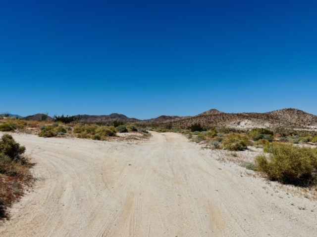
Trail Overview
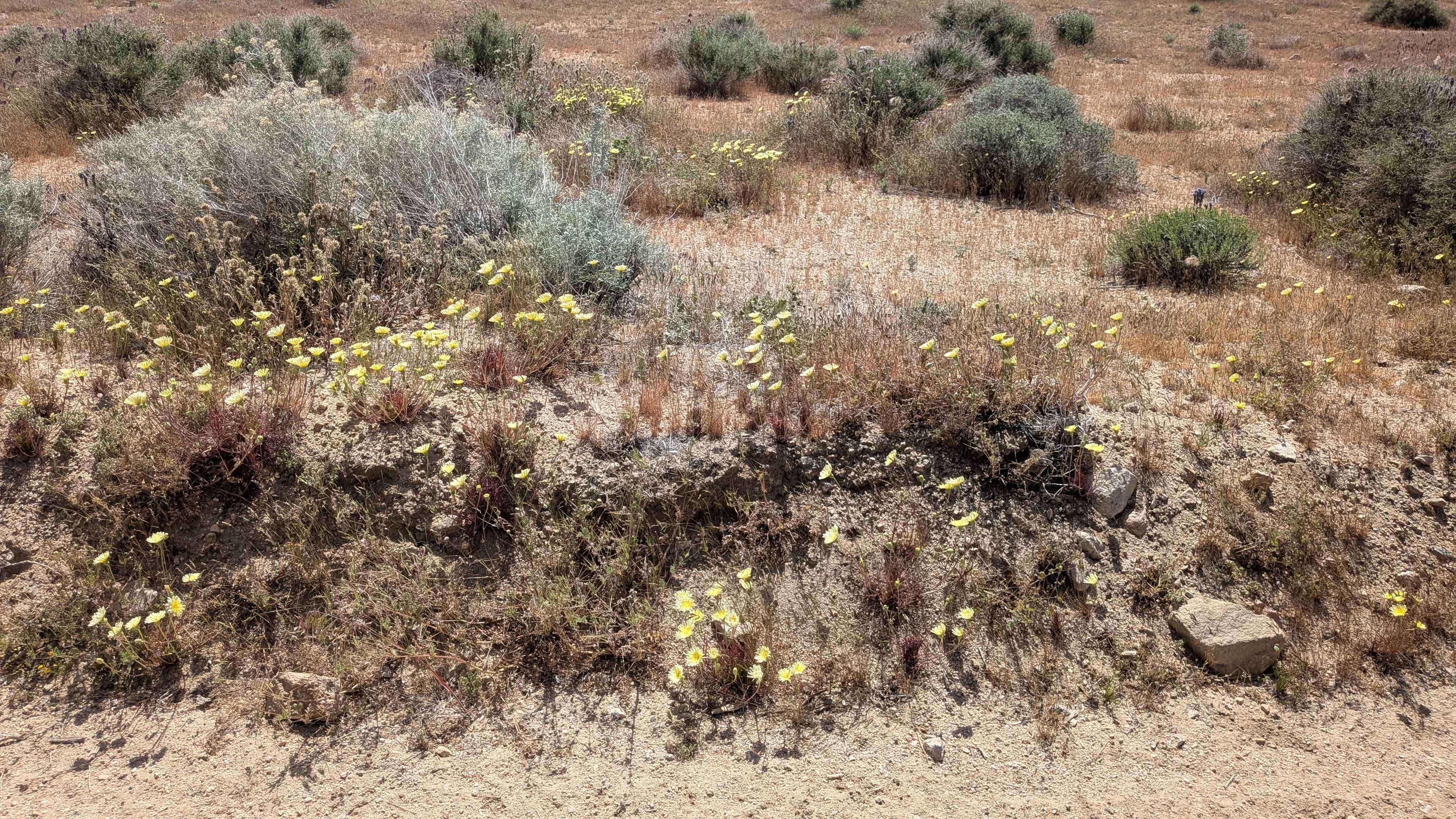
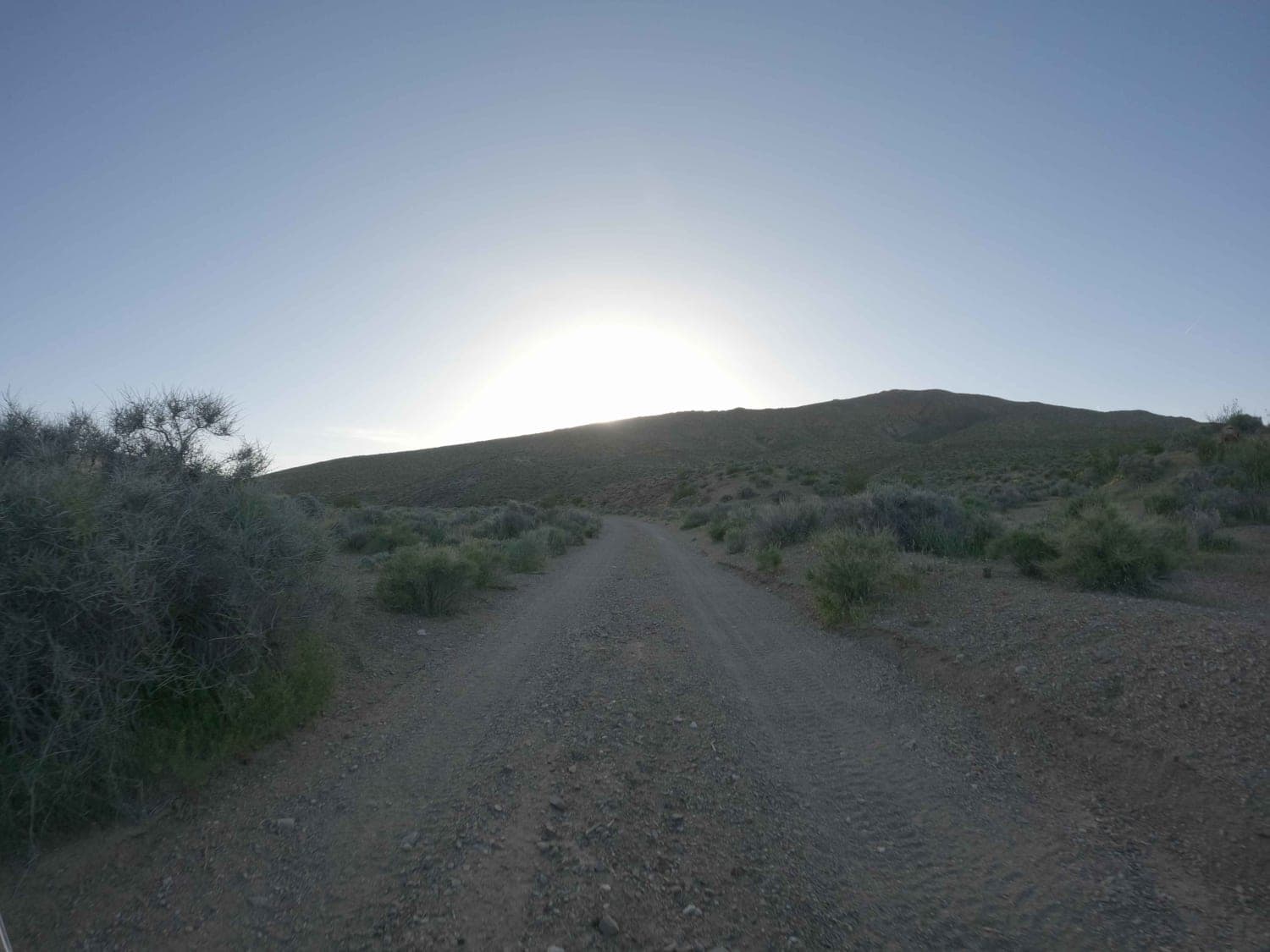
Starting just south of Sage Canyon Trail, this sand and gravel route delivers great views of the Eastern Sierras to the west and the El Paso Wilderness Mountains to the east. The trail is lined with many large creosote bushes, sagebrush, Joshua trees, and seasonal blooming wildflowers, creating dense vegetation. Lots of washboards make this a bumpy ride throughout, while occasional boulders on the road demand vigilance. Serving as a great trail for traveling north and south without hitting pavement, many established camp spots dot the road, making this a popular staging area. Expect crowds on weekends when traffic picks up.
Photos of BLM LA2 Sage Canyon South
Difficulty
A sand and gravel surface provides decent traction despite the lots of washboards creating that bumpy ride. Watch for occasional boulders on the road that can appear without warning and cause tire damage if struck. The established camp spots mean this sees regular use, keeping it defined. Busy weekends mean more traffic and dust. Overall, an accessible route suitable for weekend warrior camping access without serious technical challenges beyond those washboards and boulder hazards.
Status Reports
BLM LA2 Sage Canyon South can be accessed by the following ride types:
- High-Clearance 4x4
- SUV
- SxS (60")
- ATV (50")
- Dirt Bike
BLM LA2 Sage Canyon South Map
Popular Trails
Chloride Cliffs Road
Dos Cabezos Upper Siding
Mitchell Mine
The onX Offroad Difference
onX Offroad combines trail photos, descriptions, difficulty ratings, width restrictions, seasonality, and more in a user-friendly interface. Available on all devices, with offline access and full compatibility with CarPlay and Android Auto. Discover what you’re missing today!