Off-Road Trails in California
Discover off-road trails in California
Learn more about Blue Quartz 2N71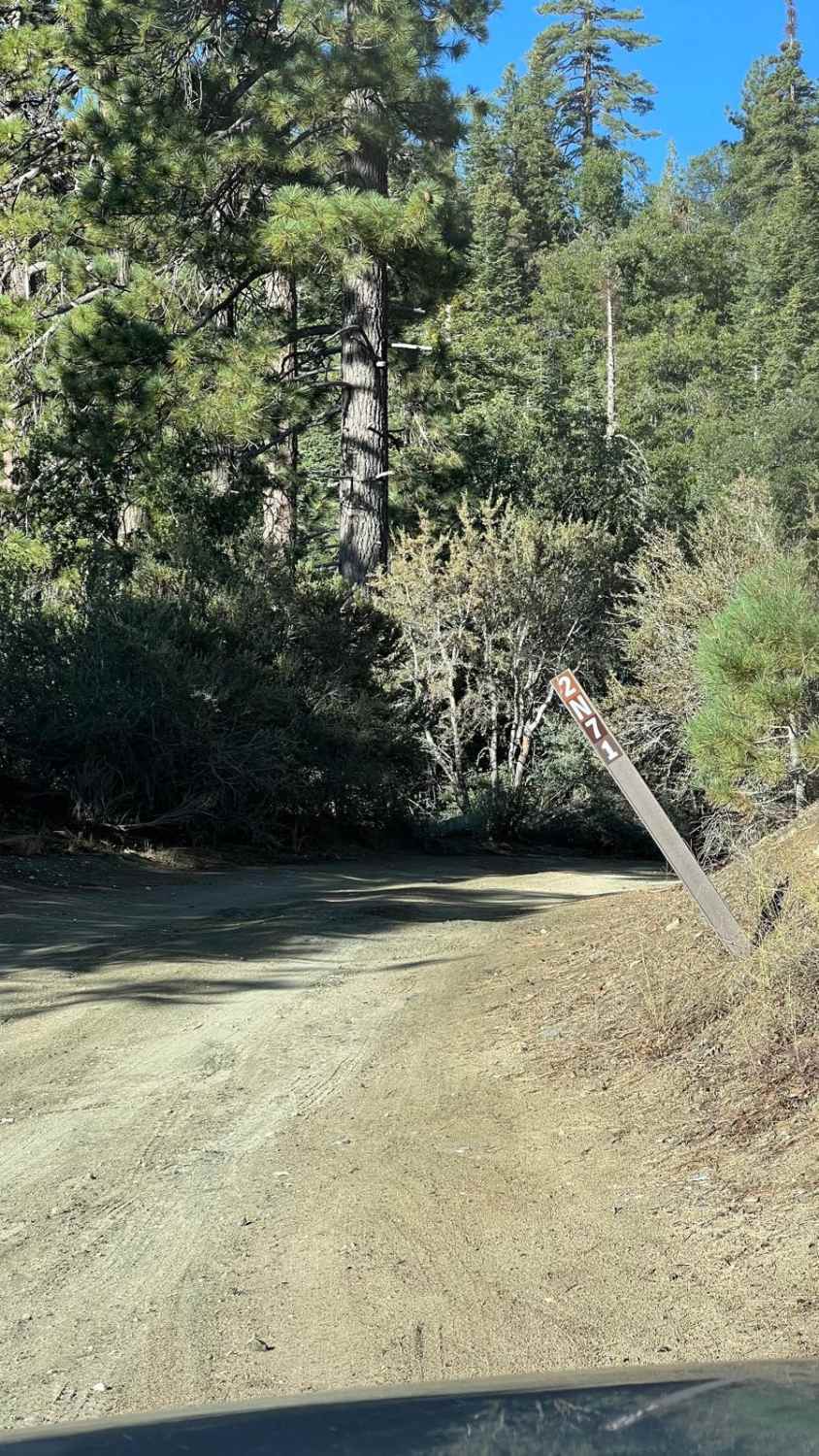
Blue Quartz 2N71
Total Miles
4.4
Tech Rating
Easy
Best Time
Spring, Summer, Fall
Learn more about Blue Ridge Truck Trail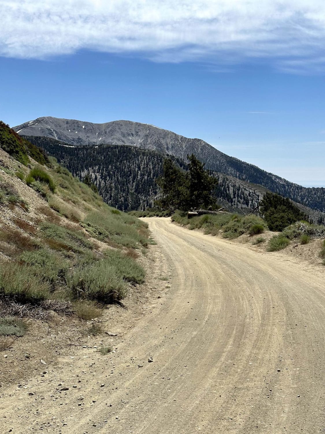
Blue Ridge Truck Trail
Total Miles
8.0
Tech Rating
Easy
Best Time
Spring, Summer, Fall
Learn more about Bluejay - FS 17N38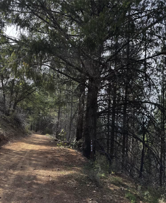
Bluejay - FS 17N38
Total Miles
3.1
Tech Rating
Easy
Best Time
Spring, Summer, Fall
Learn more about Bluff Road - FS 6S011X
Bluff Road - FS 6S011X
Total Miles
1.4
Tech Rating
Easy
Best Time
Summer, Fall, Spring
Learn more about Blythe Intaglios Trail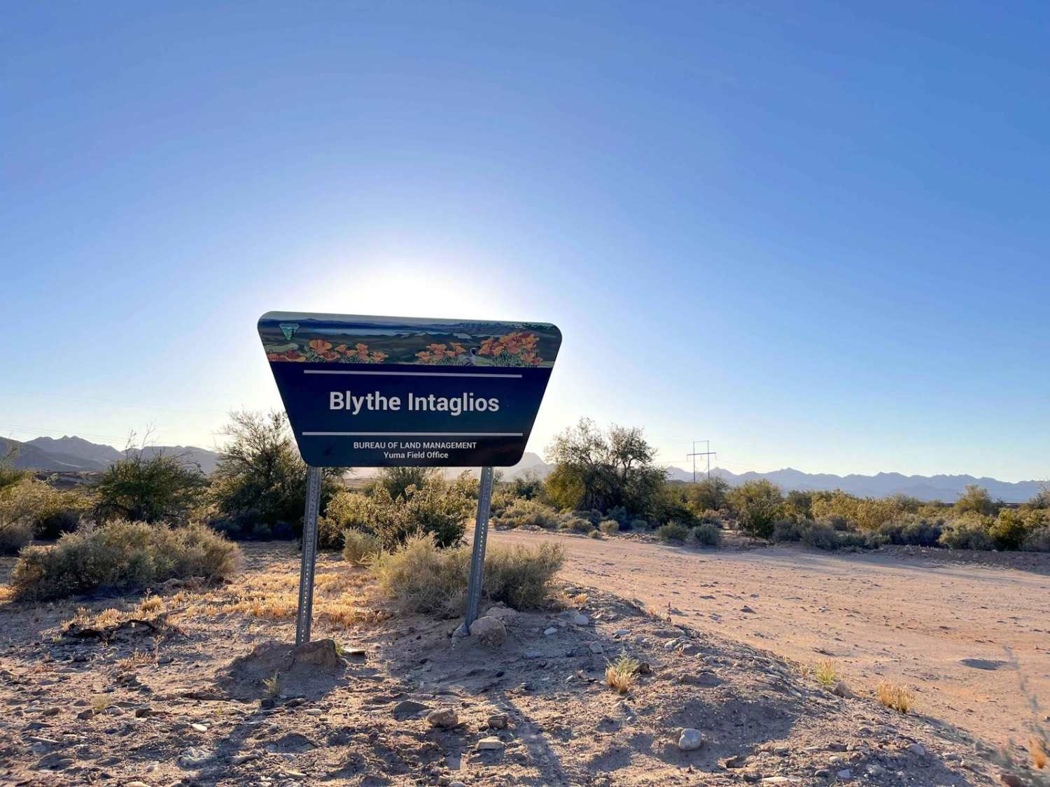
Blythe Intaglios Trail
Total Miles
1.1
Tech Rating
Easy
Best Time
Spring, Fall, Winter
Learn more about Blythe Junction Railroad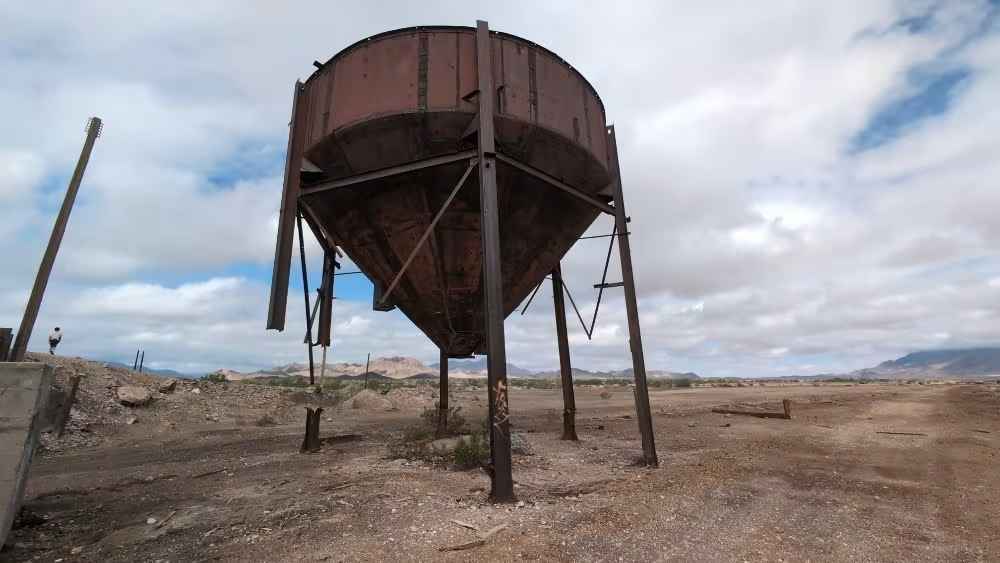
Blythe Junction Railroad
Total Miles
12.9
Tech Rating
Easy
Best Time
Spring, Fall, Winter
Learn more about BM Back Door
BM Back Door
Total Miles
0.6
Tech Rating
Easy
Best Time
Spring, Summer, Fall, Winter
Learn more about BM Bush Run
BM Bush Run
Total Miles
0.4
Tech Rating
Moderate
Best Time
Spring, Summer, Fall, Winter
Learn more about BM Shake-Down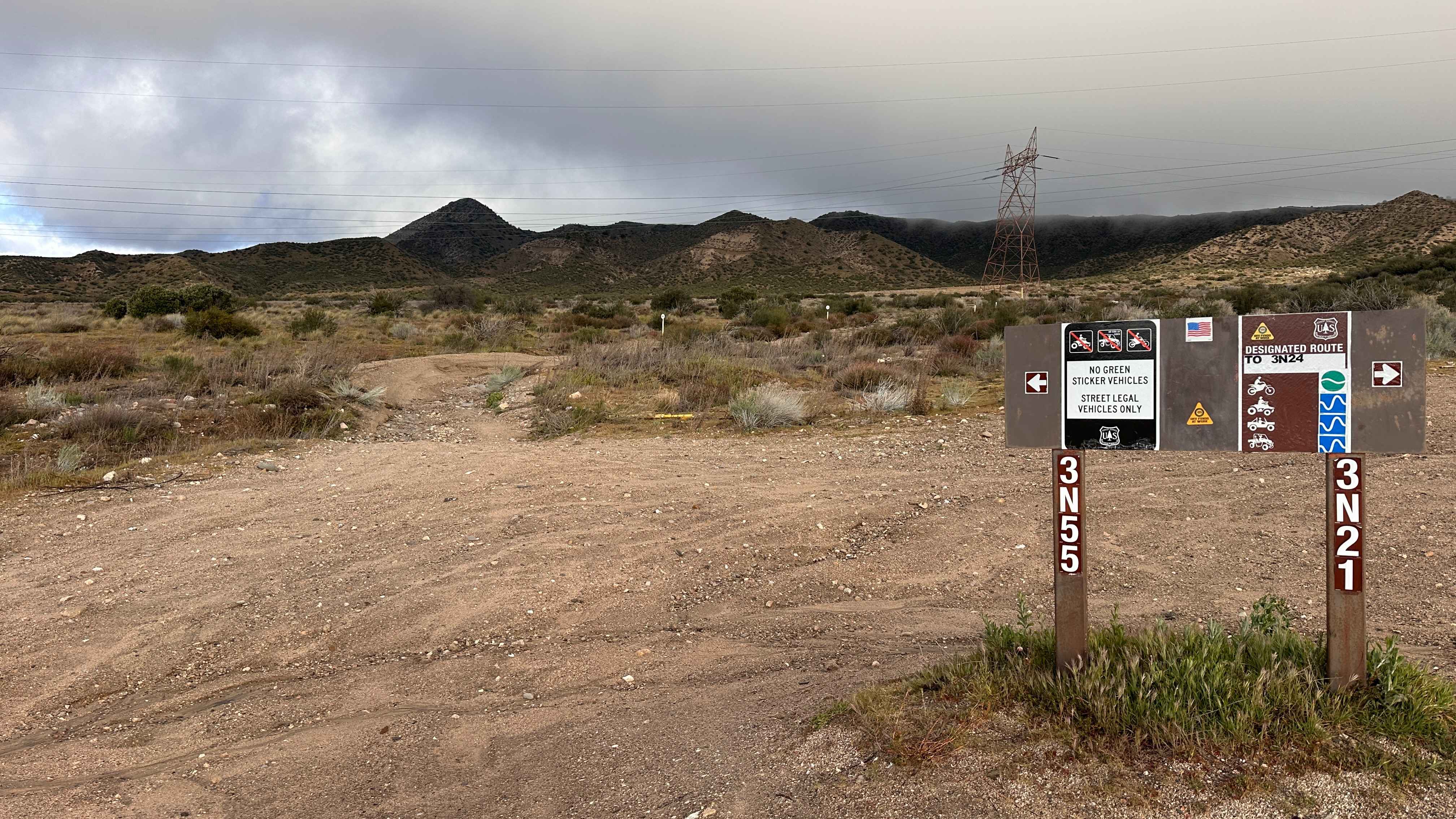
BM Shake-Down
Total Miles
1.1
Tech Rating
Easy
Best Time
Spring, Summer, Fall
Learn more about Bodie High Desert Highway
Bodie High Desert Highway
Total Miles
8.6
Tech Rating
Easy
Best Time
Spring, Summer, Fall
Learn more about Bonanza Gulch - BLM EP15
Bonanza Gulch - BLM EP15
Total Miles
2.7
Tech Rating
Easy
Best Time
Fall, Summer, Spring
Learn more about Boneridge - FS 8s035
Boneridge - FS 8s035
Total Miles
1.9
Tech Rating
Easy
Best Time
Summer, Fall
Learn more about Boneyard Meadow - FS 6S072
Boneyard Meadow - FS 6S072
Total Miles
1.2
Tech Rating
Easy
Best Time
Summer, Fall
Learn more about Boneyard Road - FS 1S07
Boneyard Road - FS 1S07
Total Miles
3.2
Tech Rating
Easy
Best Time
Summer, Fall, Spring
Learn more about Bonta Creek - NF23N33
Bonta Creek - NF23N33
Total Miles
7.7
Tech Rating
Easy
Best Time
Spring, Summer, Fall
Learn more about Bonta Ridge - NF23N05Y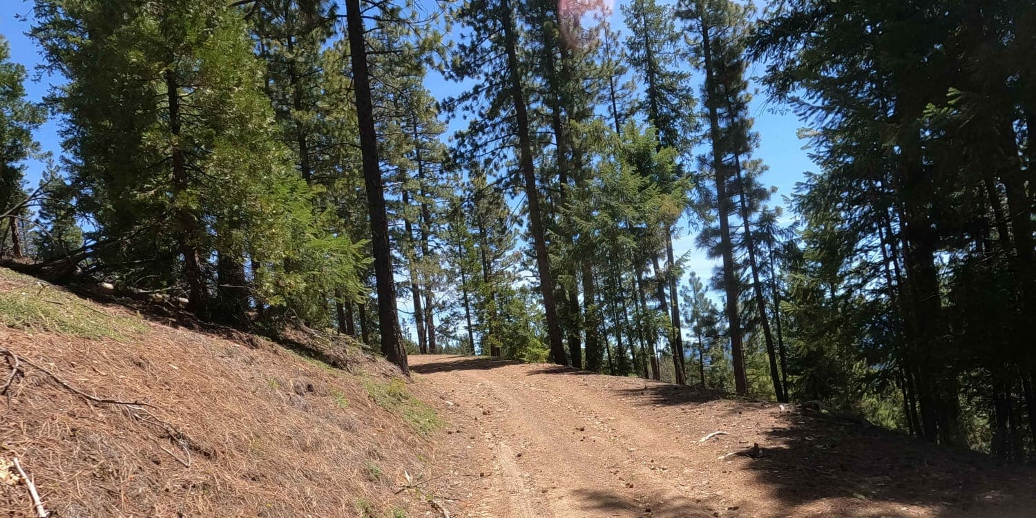
Bonta Ridge - NF23N05Y
Total Miles
4.9
Tech Rating
Easy
Best Time
Spring, Summer, Fall
ATV trails in California


UTV/side-by-side trails in California


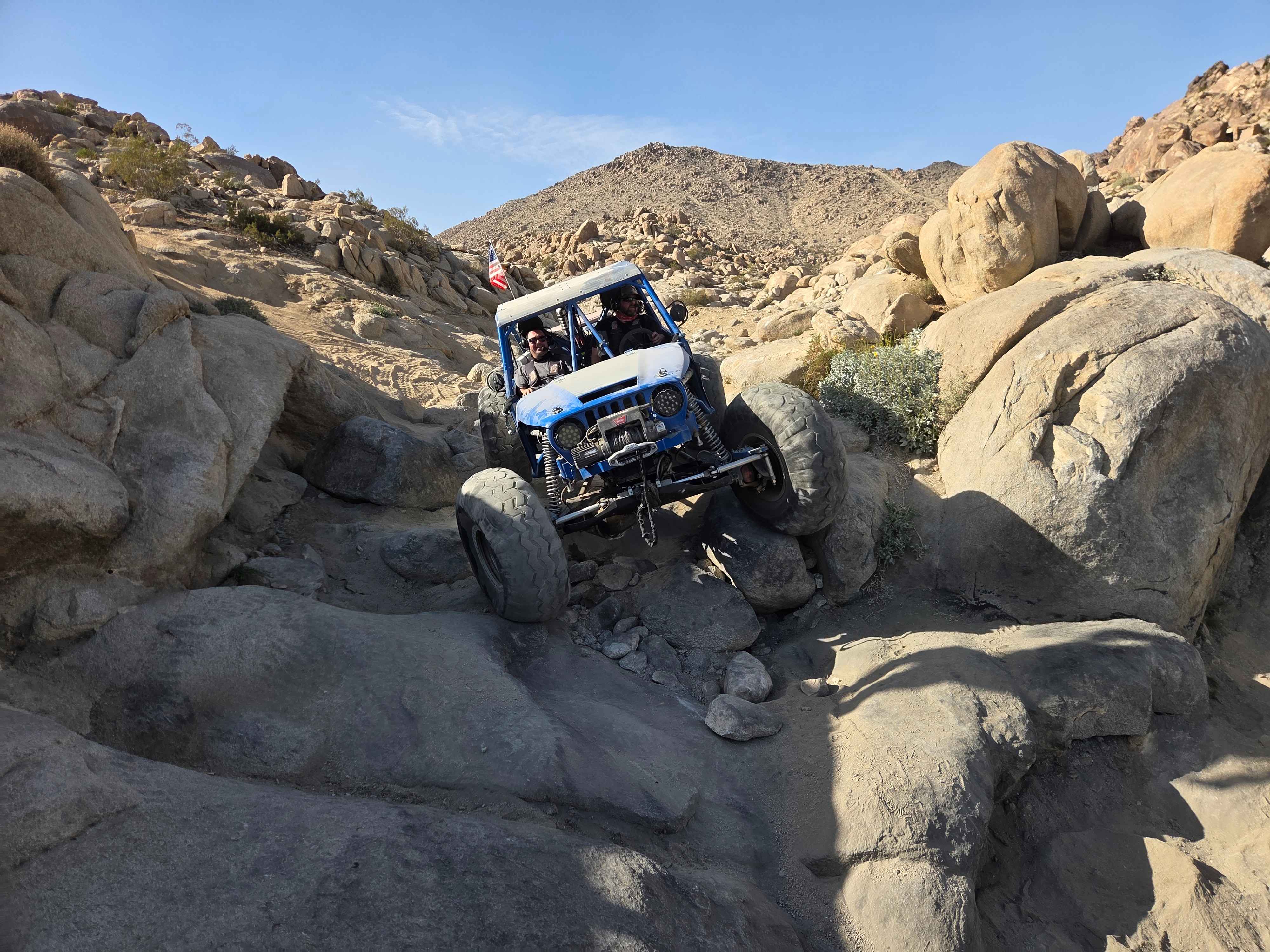
Learn more about 3N267 Fenner Saddle (4N12)
3N267 Fenner Saddle (4N12)
Total Miles
3.8
Tech Rating
Difficult
Best Time
Spring, Summer, Fall, Winter

The onX Offroad Difference
onX Offroad combines trail photos, descriptions, difficulty ratings, width restrictions, seasonality, and more in a user-friendly interface. Available on all devices, with offline access and full compatibility with CarPlay and Android Auto. Discover what you’re missing today!