Off-Road Trails in California
Discover off-road trails in California
Learn more about Campbell Wash
Campbell Wash
Total Miles
5.3
Tech Rating
Easy
Best Time
Spring, Summer, Fall, Winter
Learn more about Campfire Lookout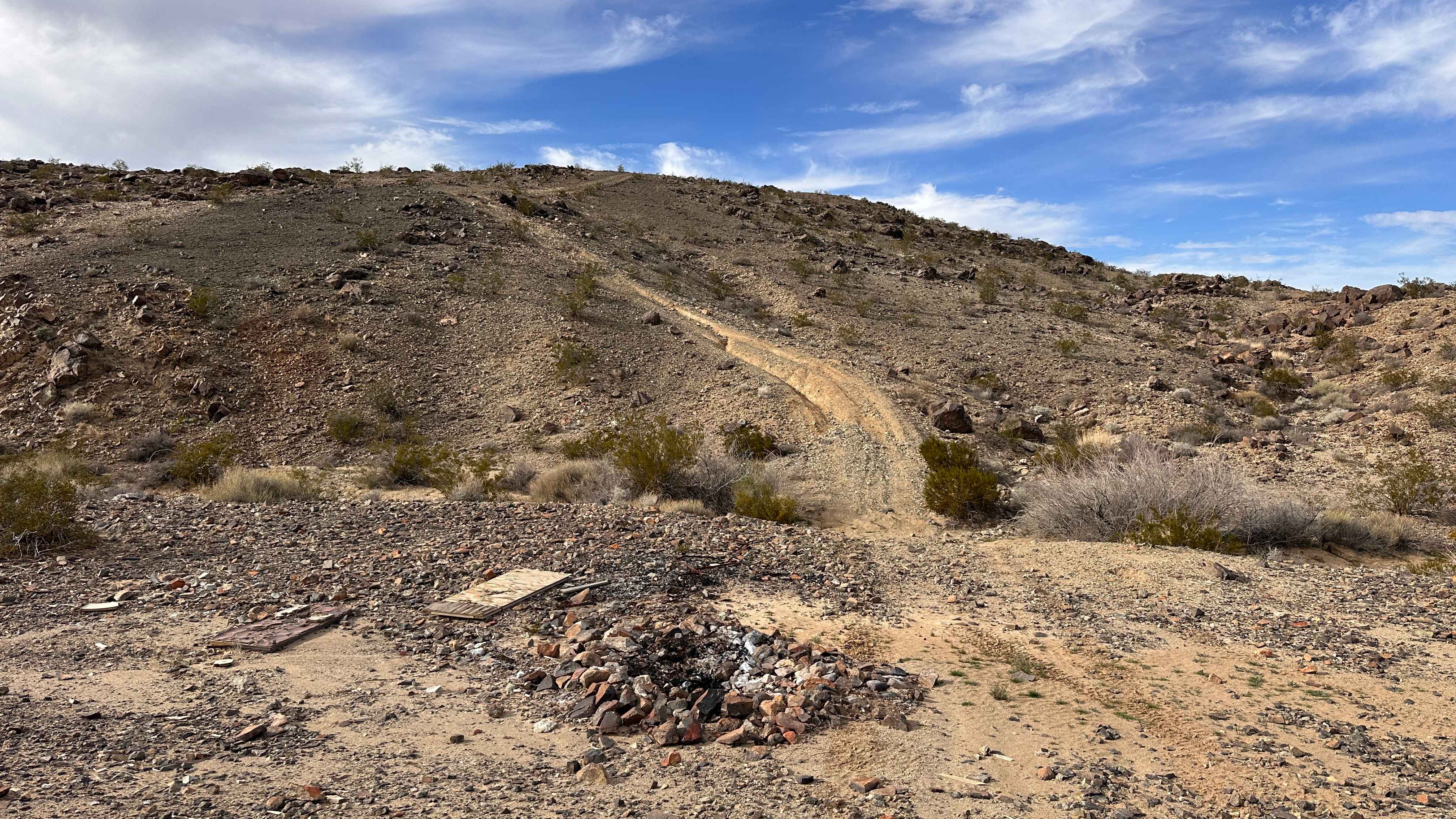
Campfire Lookout
Total Miles
0.3
Tech Rating
Extreme
Best Time
Spring, Summer, Fall, Winter
Learn more about Campground Connector
Campground Connector
Total Miles
1.9
Tech Rating
Easy
Best Time
Summer
Learn more about Candy Rock Road
Candy Rock Road
Total Miles
1.1
Tech Rating
Easy
Best Time
Spring, Summer, Fall
Learn more about Candy Rock Road P.2
Candy Rock Road P.2
Total Miles
1.3
Tech Rating
Easy
Best Time
Spring, Summer
Learn more about Cannell - FS 24S12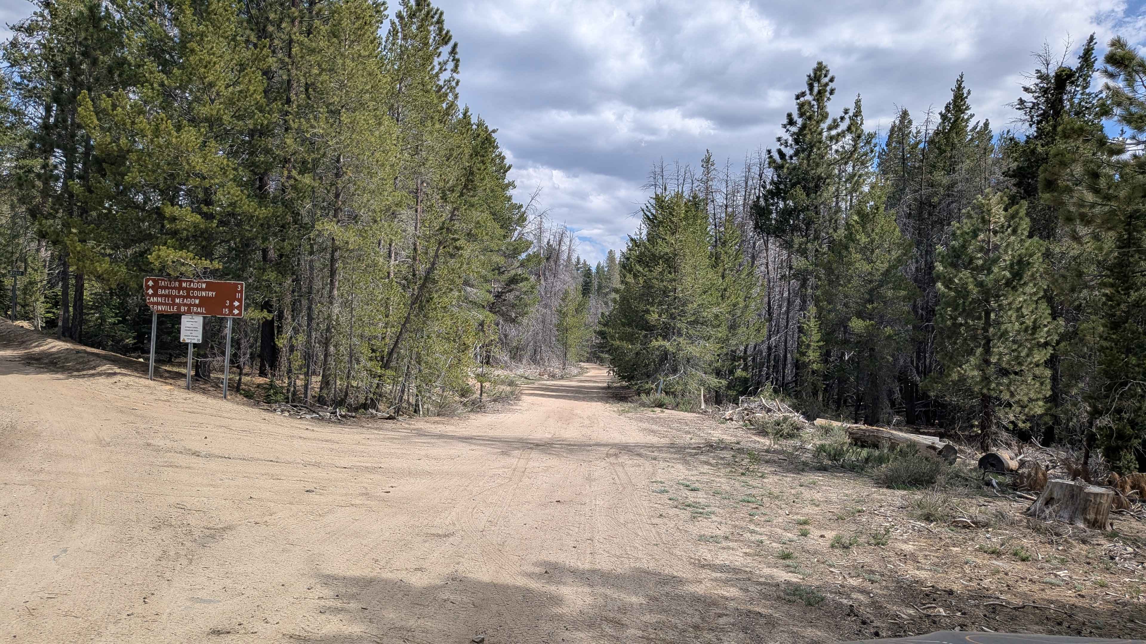
Cannell - FS 24S12
Total Miles
11.8
Tech Rating
Easy
Best Time
Fall, Summer, Spring
Learn more about Cannell Meadow - FS 24S56
Cannell Meadow - FS 24S56
Total Miles
3.7
Tech Rating
Easy
Best Time
Fall, Summer, Spring
Learn more about Canyon Deep Road/Cavanah Deep - FS 44
Canyon Deep Road/Cavanah Deep - FS 44
Total Miles
13.4
Tech Rating
Easy
Best Time
Spring, Summer, Fall
Learn more about Canyon Sin Nombre
Canyon Sin Nombre
Total Miles
4.3
Tech Rating
Easy
Best Time
Spring, Summer, Fall, Winter
Learn more about Capinero - FS 23S05
Capinero - FS 23S05
Total Miles
3.5
Tech Rating
Easy
Best Time
Fall, Summer, Spring
Learn more about Carpenter Creek - FS 11N47
Carpenter Creek - FS 11N47
Total Miles
2.4
Tech Rating
Easy
Best Time
Spring, Fall, Summer
Learn more about Carpenter's Tie - FS 10N36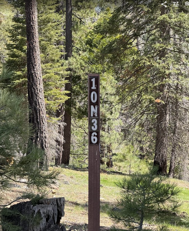
Carpenter's Tie - FS 10N36
Total Miles
1.3
Tech Rating
Moderate
Best Time
Spring, Summer, Fall
Learn more about Carrizo Canyon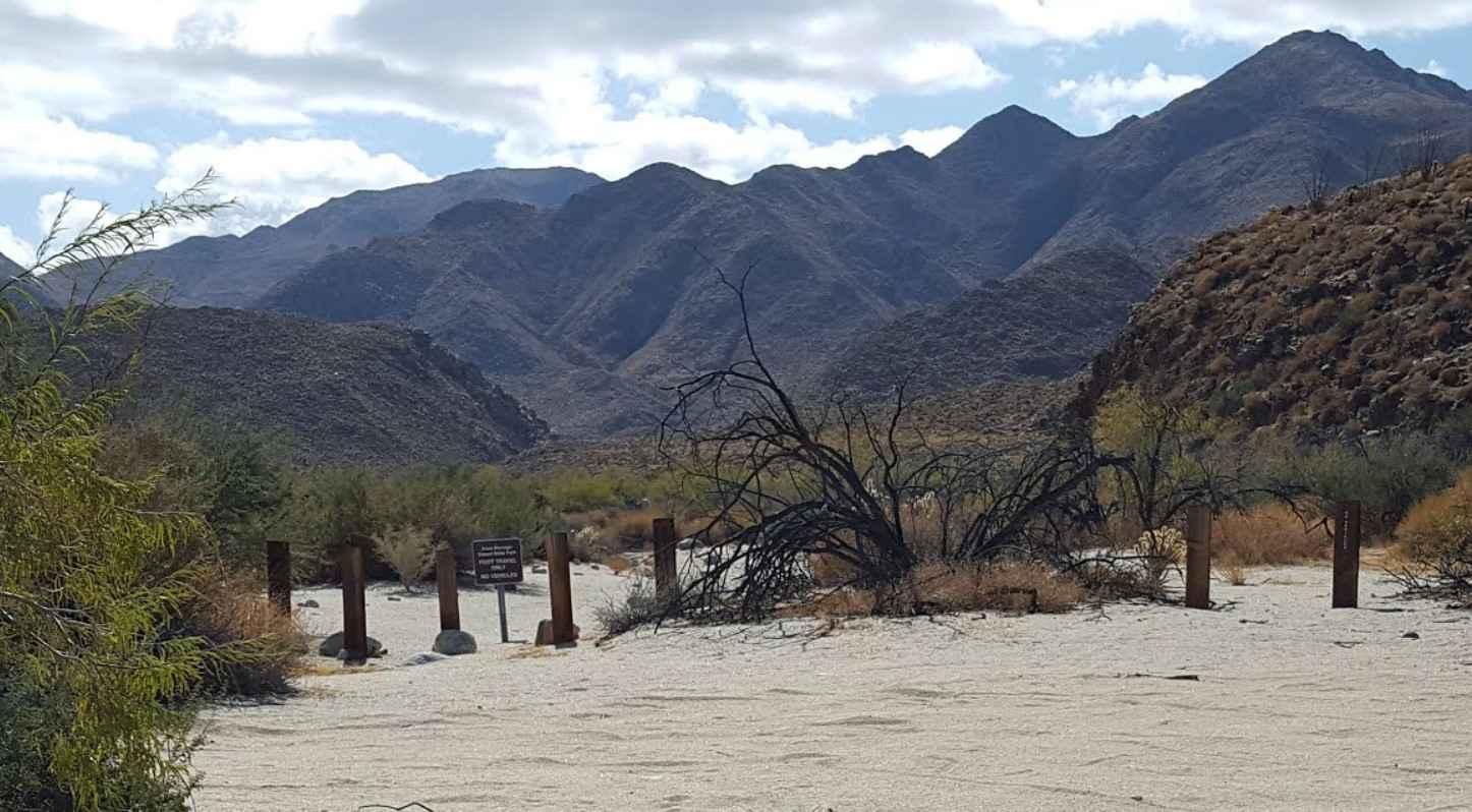
Carrizo Canyon
Total Miles
6.7
Tech Rating
Easy
Best Time
Spring, Summer, Fall, Winter
Learn more about Carrizo Creek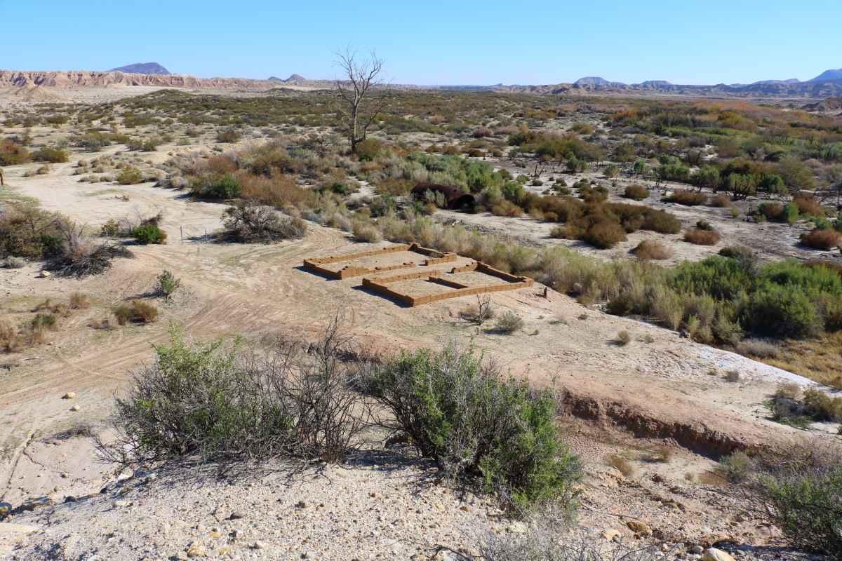
Carrizo Creek
Total Miles
3.2
Tech Rating
Easy
Best Time
Spring, Summer, Fall, Winter
Learn more about Carrizo Mountain
Carrizo Mountain
Total Miles
4.4
Tech Rating
Moderate
Best Time
Fall, Winter
Learn more about Casa Diablo Mine Cut Off - FS 04S04
Casa Diablo Mine Cut Off - FS 04S04
Total Miles
6.0
Tech Rating
Easy
Best Time
Summer, Fall, Spring
Learn more about Casa Diablo Mountain FS S134
Casa Diablo Mountain FS S134
Total Miles
3.8
Tech Rating
Moderate
Best Time
Summer, Fall, Spring
Learn more about Casa Diablo Road
Casa Diablo Road
Total Miles
21.2
Tech Rating
Easy
Best Time
Fall, Summer, Spring
ATV trails in California


UTV/side-by-side trails in California


Learn more about 3N267 Fenner Saddle (4N12)
3N267 Fenner Saddle (4N12)
Total Miles
3.8
Tech Rating
Difficult
Best Time
Spring, Summer, Fall, Winter

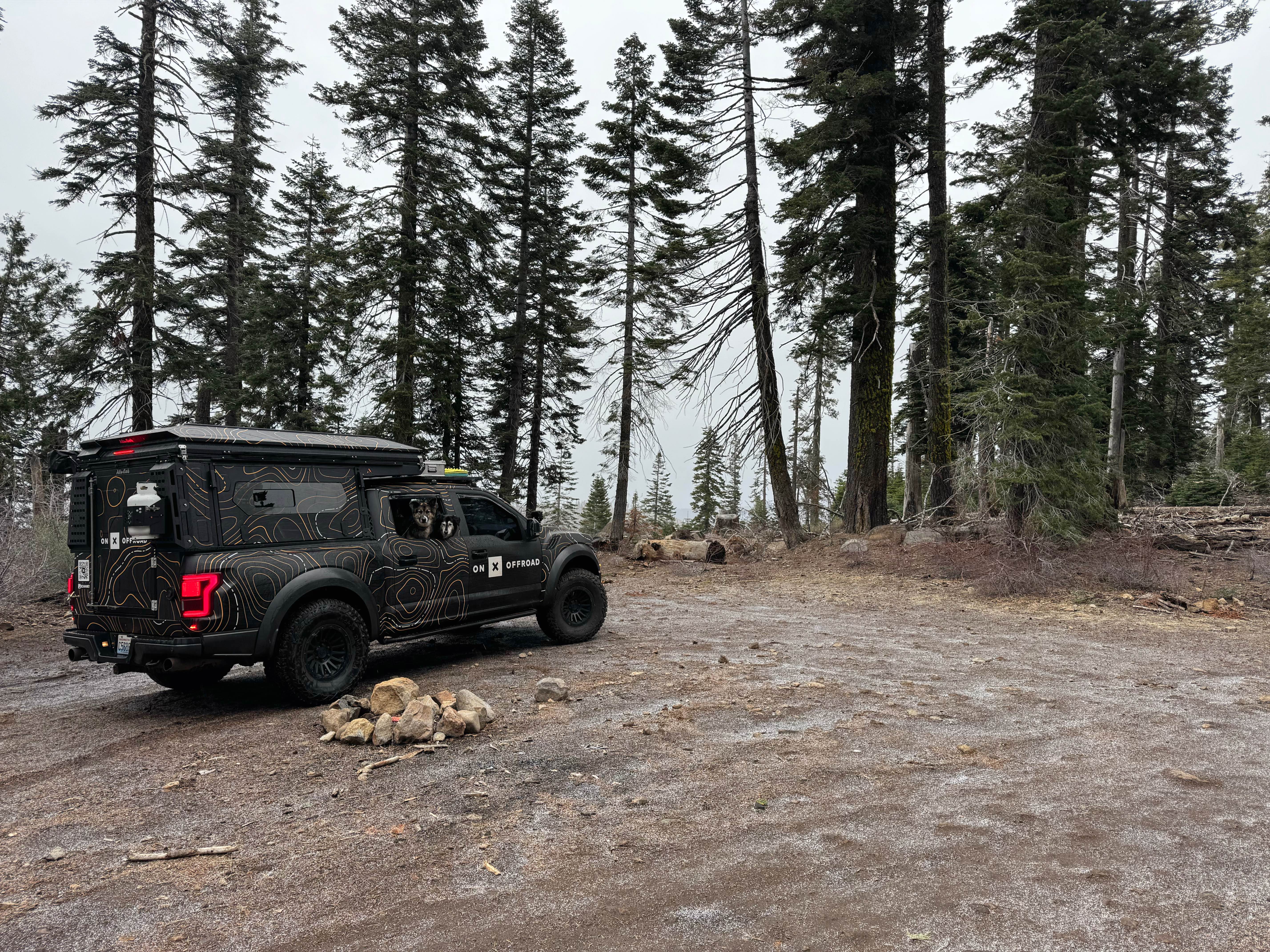
The onX Offroad Difference
onX Offroad combines trail photos, descriptions, difficulty ratings, width restrictions, seasonality, and more in a user-friendly interface. Available on all devices, with offline access and full compatibility with CarPlay and Android Auto. Discover what you’re missing today!