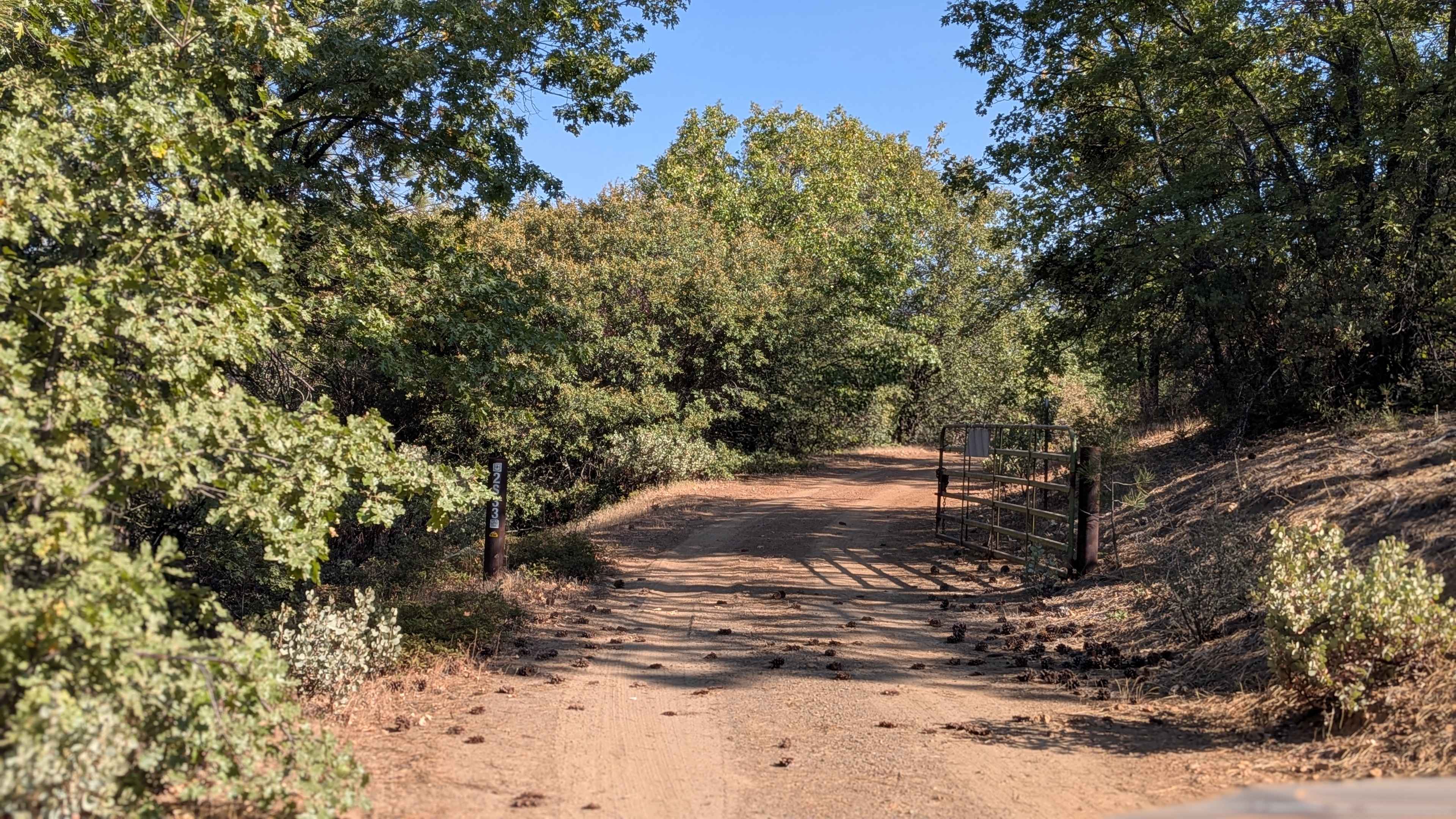
FS 2S33
Total Miles
1.8
Technical Rating
Best Time
Summer, Fall, Spring
Trail Type
Full-Width Road
Accessible By
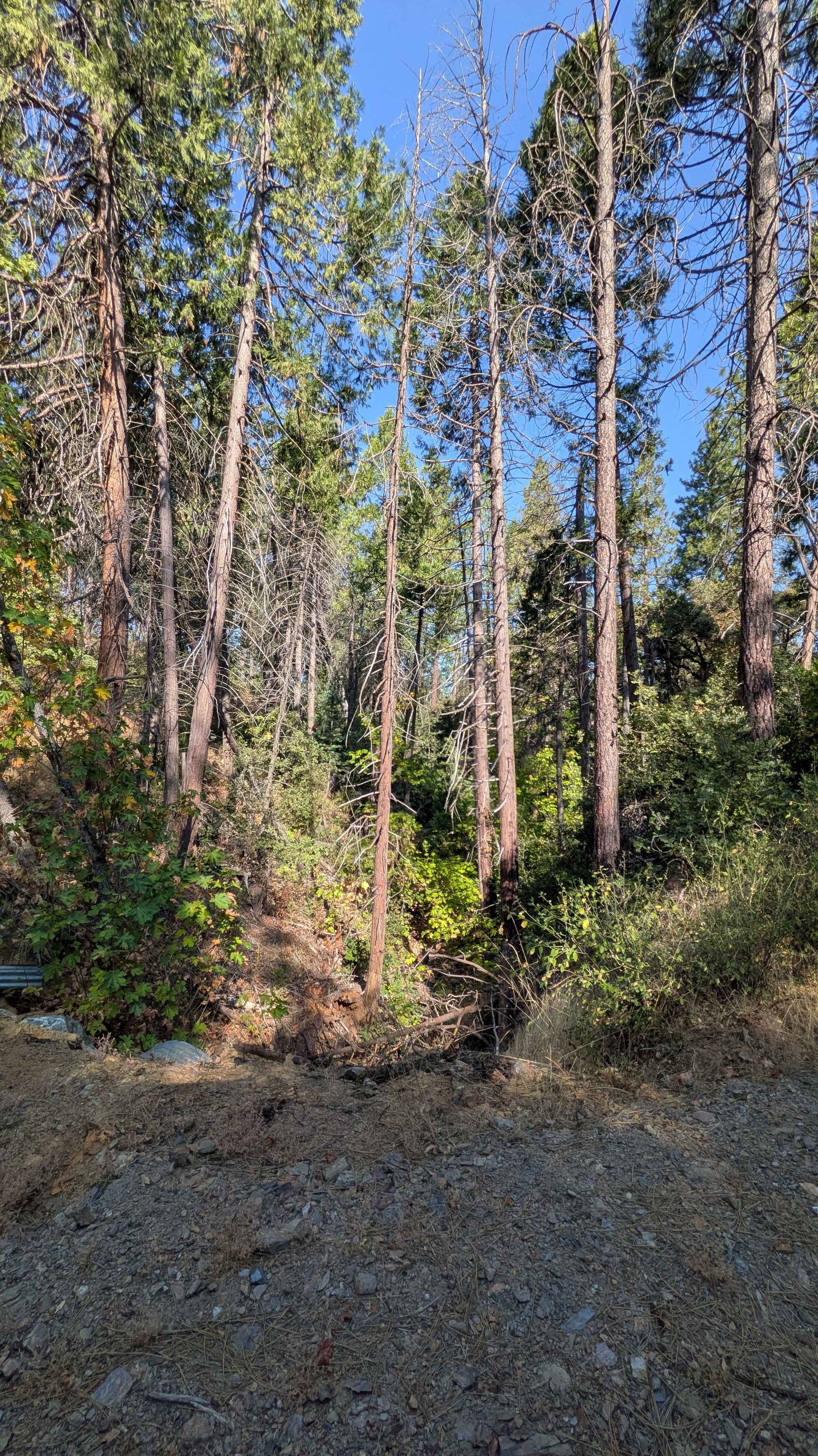
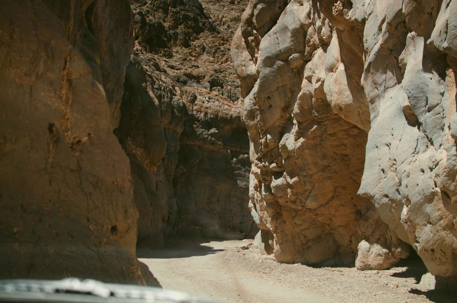
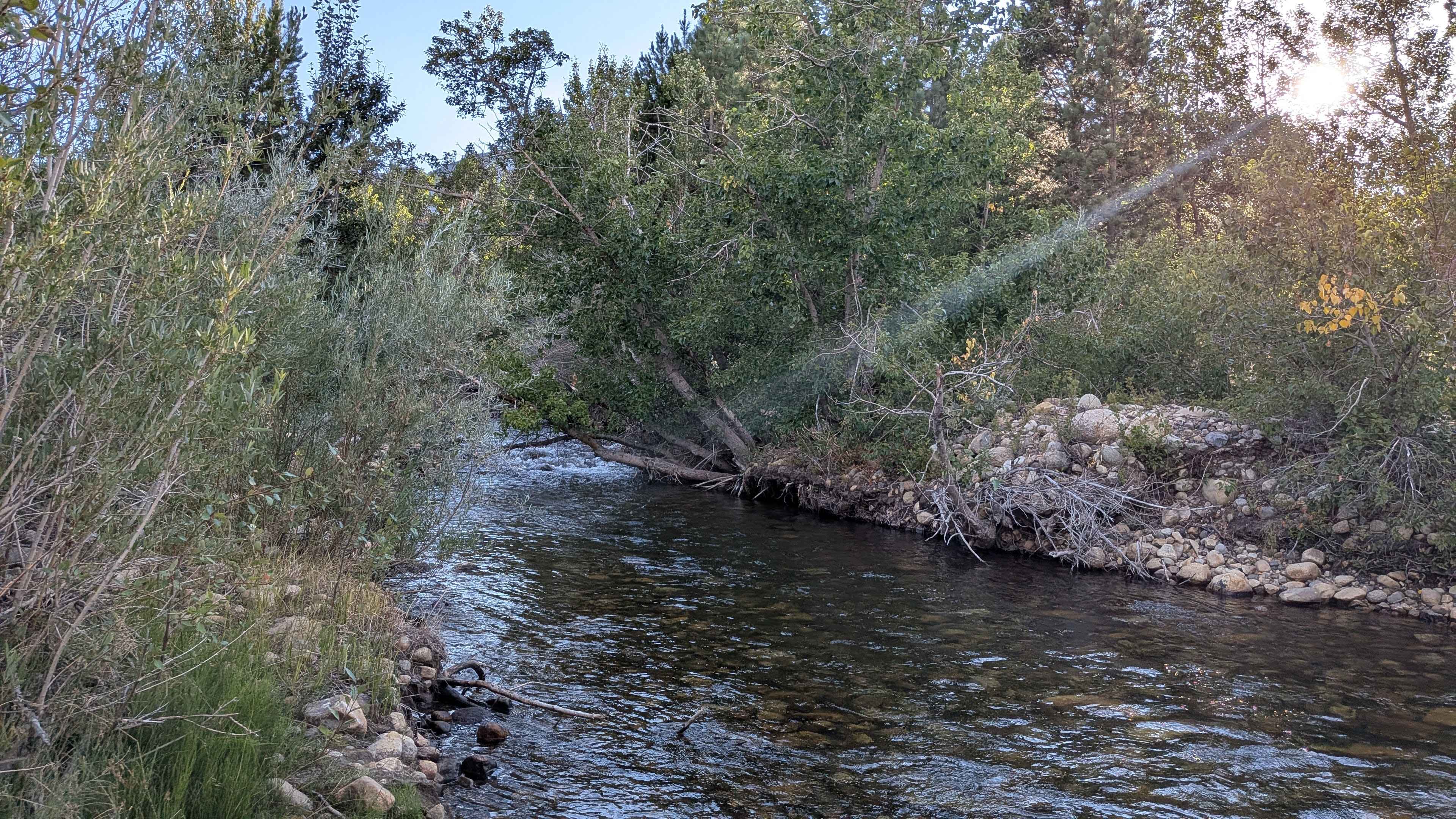
Trail Overview
This trail climbs 750 feet and drops just under 300 feet over just over 3 miles, weaving its way along shelf roads through canyons and up and down through rolling hills. The route maintains a width of 1.5 vehicles on sandy surfaces that create very dusty conditions throughout the journey. Overgrown branches above the trail require maneuvering around and will contact tall vehicles, while lots of overgrown manzanita and other brush line the trail sides. Most turns feature small drainage ruts that cut across the trail, requiring attention during navigation. The shelf road configuration is gradual and wide, providing plenty of room to pass other vehicles, especially on the turns where visibility and maneuvering space increase. Early morning or late afternoon timing is recommended as the tree coverage provides natural shade over much of the trail, making for more comfortable driving conditions. However, significant access issues currently affect this route from both directions. Halfway down the trail, a closure sign states that the trail is closed from Forest Service Roads 1S14 to 2S39, with the order extending through 2024. Contact with the ranger station revealed that the person who could provide closure updates was unavailable, leaving the current status uncertain. From the south side, the trail becomes impassable after less than half a mile due to downed trees that have not been cleared since the end of 2023, effectively blocking access from that direction.
Photos of FS 2S33
Difficulty
This trail would typically receive a difficulty rating of 1, indicating easy conditions suitable for most vehicles. However, the ruts upgrade the overall rating to 2, still in the easy category. The sandy and dusty surfaces, slight off-camber sections, drainage ruts at turns, and overgrown branches requiring overhead clearance create manageable challenges despite the easy rating. The wide shelf road configuration and ample passing opportunities help offset the technical elements.
Status Reports
FS 2S33 can be accessed by the following ride types:
- High-Clearance 4x4
- SUV
- SxS (60")
- ATV (50")
- Dirt Bike
FS 2S33 Map
Popular Trails
EC 39 Table Mountain
Picnic Grounds Road
The onX Offroad Difference
onX Offroad combines trail photos, descriptions, difficulty ratings, width restrictions, seasonality, and more in a user-friendly interface. Available on all devices, with offline access and full compatibility with CarPlay and Android Auto. Discover what you’re missing today!