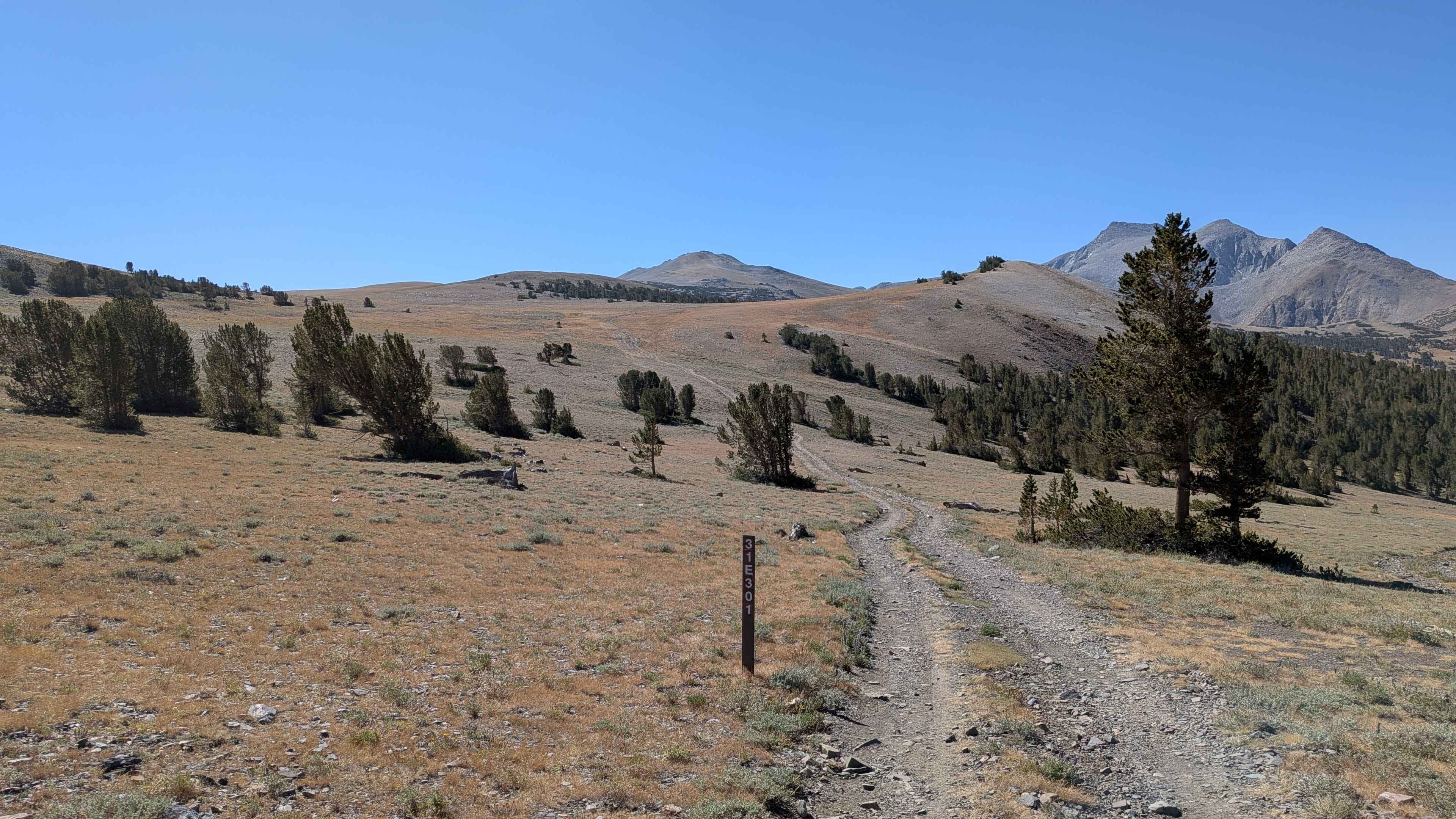
FS 31E301
Total Miles
2.7
Technical Rating
Best Time
Summer, Fall
Trail Type
Full-Width Road
Accessible By
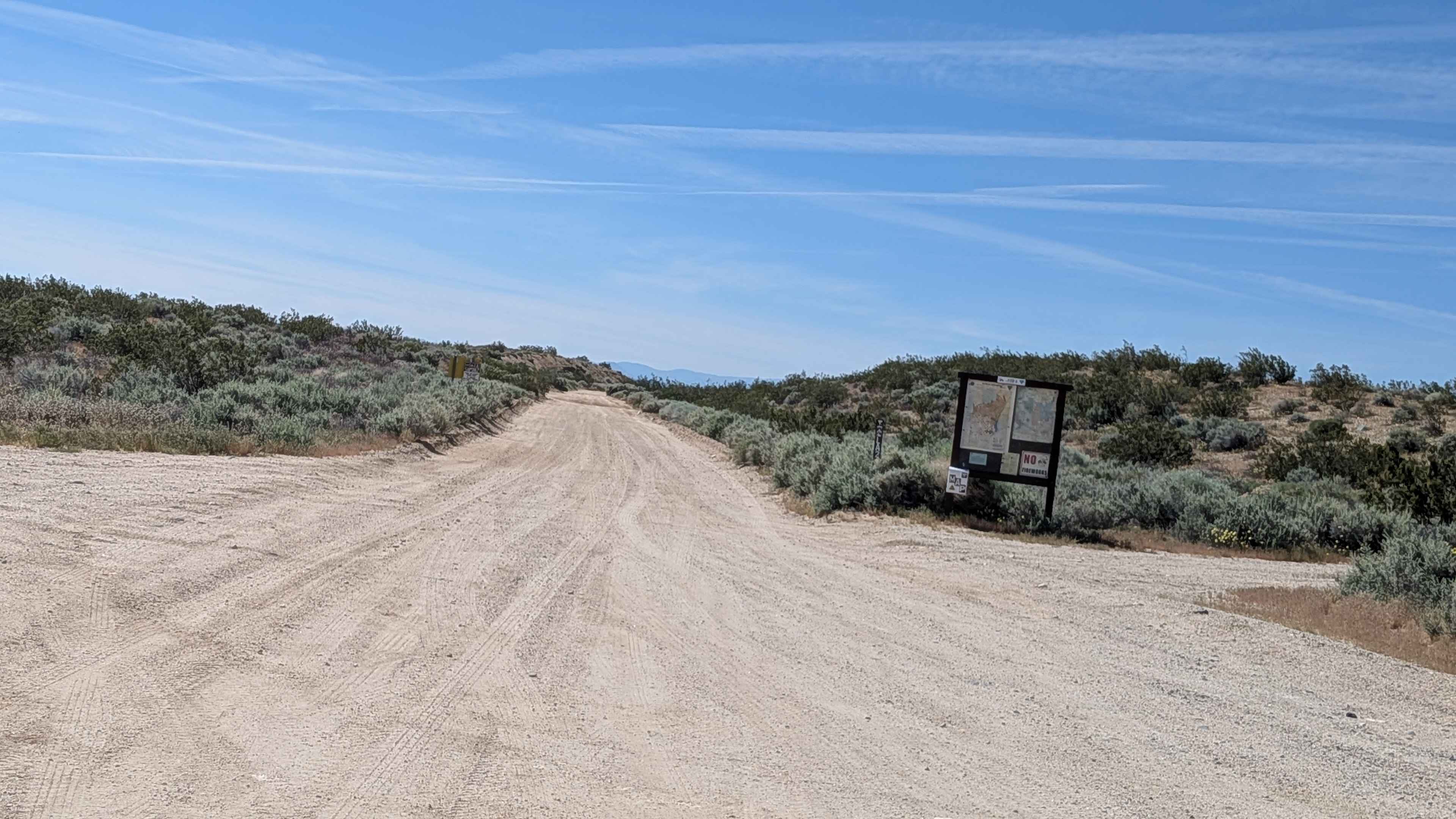
Trail Overview
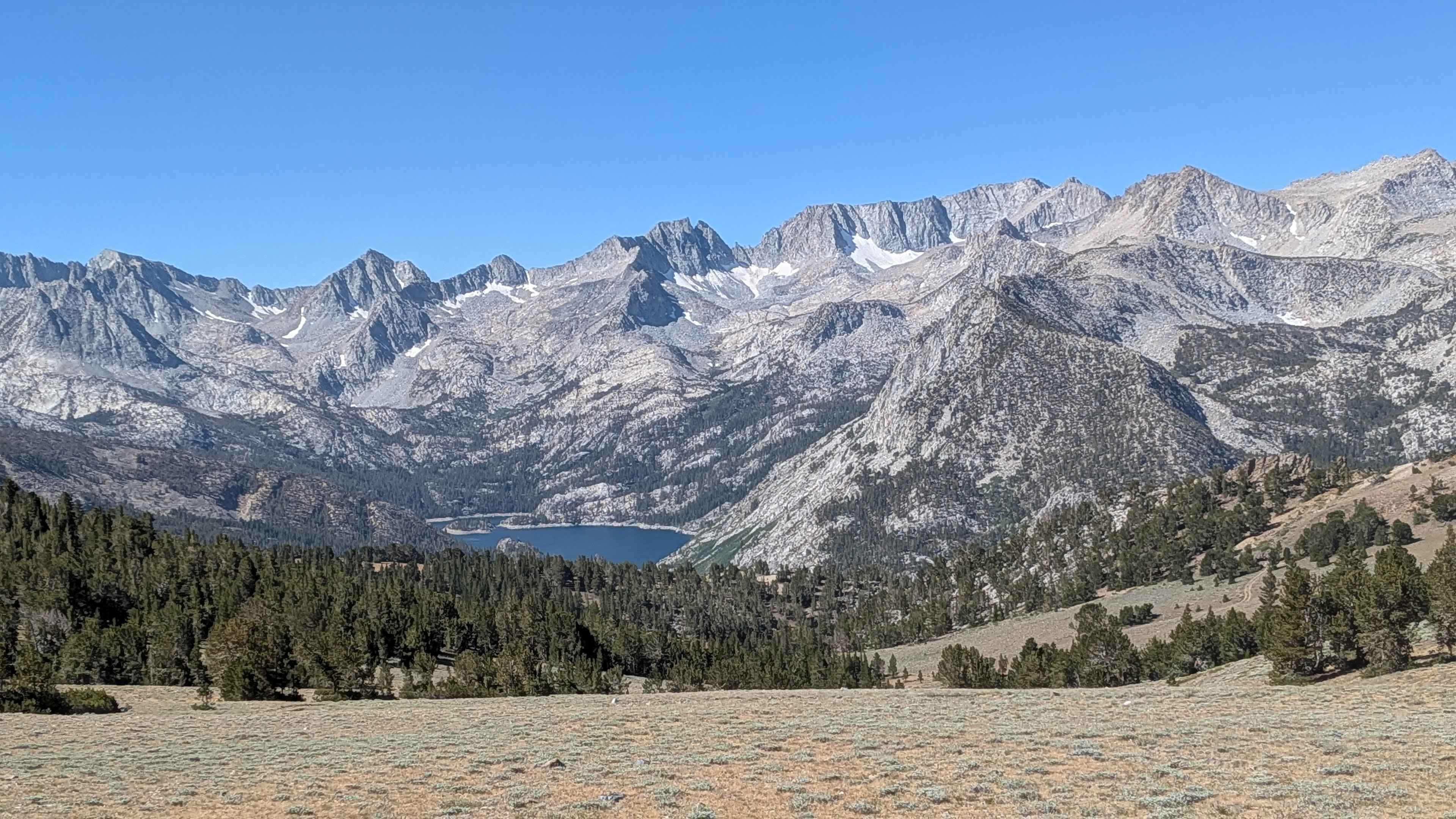
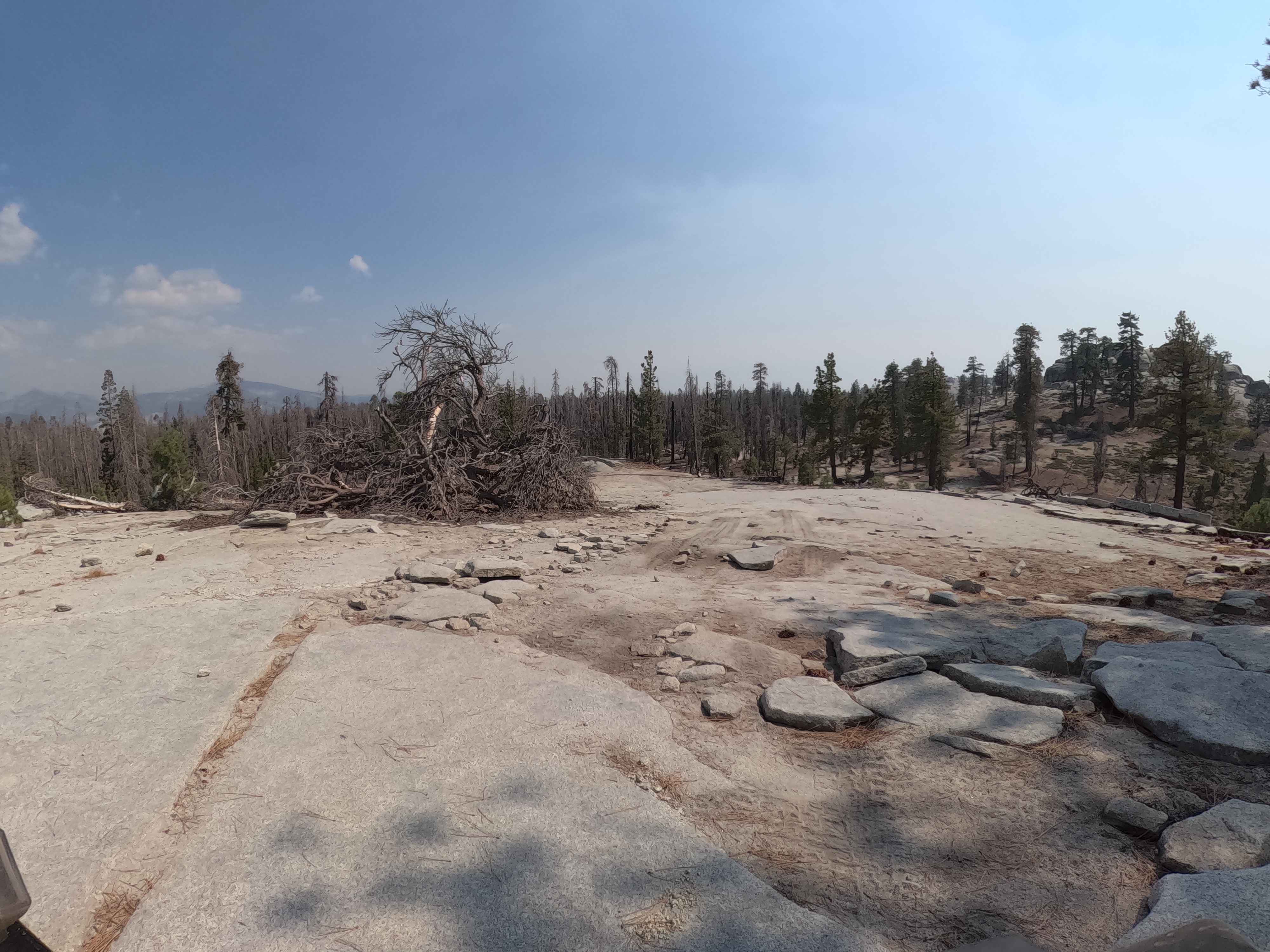
This 5-mile out-and-back trail is the tallest in the area, dropping 391 feet before climbing almost 1,000 feet to peak at 11,689 feet. The route offers stunning views of the Eastern Sierras, some still snow-covered in August. Starting in an open meadow, the trail drops into a pine forest around 11,000 feet after the first mile. At mile 1.25, it opens up into a valley where most of the little rocks disappear, featuring a small river crossing before climbing back into a pine forest. The trail then descends and becomes very rocky again with larger rocks before the final climb. The last climb is mainly sandy with some larger rocks, gaining over 600 feet in the last half mile. You're rewarded with some of the best views of the Eastern Sierras, and the trail ends at a cliffside above Green Lake and Brown Lake.
Photos of FS 31E301
Difficulty
This trail earns a moderate difficulty rating with its very rocky surface consisting mostly of small rocks and some deep ruts. There are a few low-hanging branches that tall vehicles will hit, and there's a steep climb that's mostly sand and dirt with some rocks and a few large ones to maneuver around. 4x4 and high clearance are mandatory, and low gear is very helpful, along with lockers or traction control.
Status Reports
FS 31E301 can be accessed by the following ride types:
- High-Clearance 4x4
- SUV
- SxS (60")
- ATV (50")
- Dirt Bike
FS 31E301 Map
Popular Trails
The Escape Trail
EMHT Segment 2: Ivanpah to Rocky Ridge
BLM LA2 Highway 178 South
Bow Tie - FS 25E208
The onX Offroad Difference
onX Offroad combines trail photos, descriptions, difficulty ratings, width restrictions, seasonality, and more in a user-friendly interface. Available on all devices, with offline access and full compatibility with CarPlay and Android Auto. Discover what you’re missing today!