The Escape Trail
Total Miles
8.4
Technical Rating
Best Time
Spring, Fall
Trail Type
High-Clearance 4x4 Trail
Accessible By
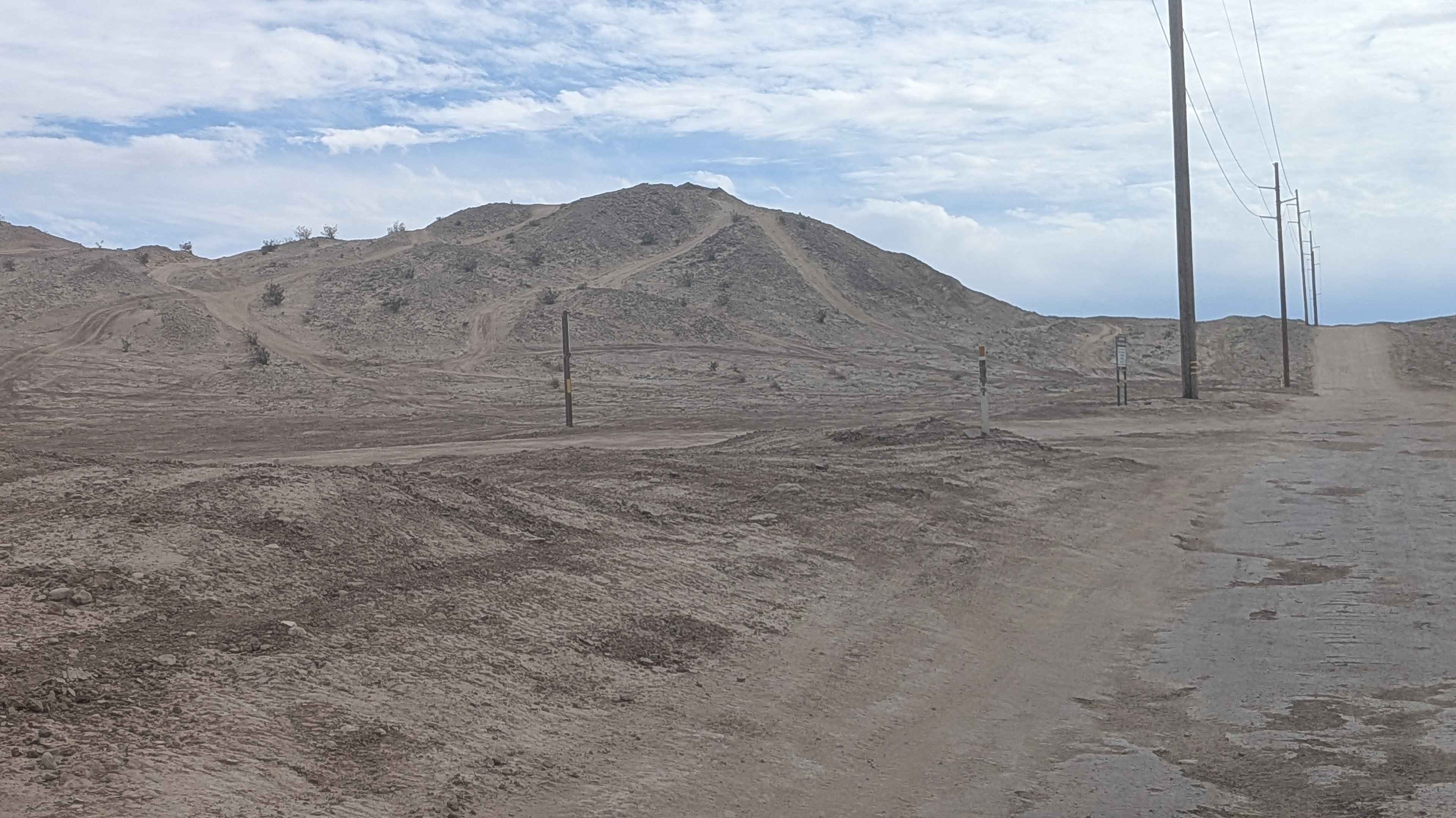
Trail Overview
The Escape Trail is a historical route dating back to 1850 and is a remote way into Death Valley, offering scenic views and a historical element. 14 miles in length, this is a route out of or into Death Valley National Park--pending your direction. The route is better coming into DVNP (west to east), as the views are spectacular going this direction. Start a short distance north of Trona and climb over and wind through the Slate Range, topping out at Manly Pass and then dropping into Fish Canyon at the southern end of the Panamint Valley. Multiple terrain types will be encountered, but hard-pack is the dominant type. There are washes to traverse and cross, steep/very steep ascents and descents that have loose soil, ridgelines and spines to drive along, and the final descent is cross-grained across an alluvial fan.
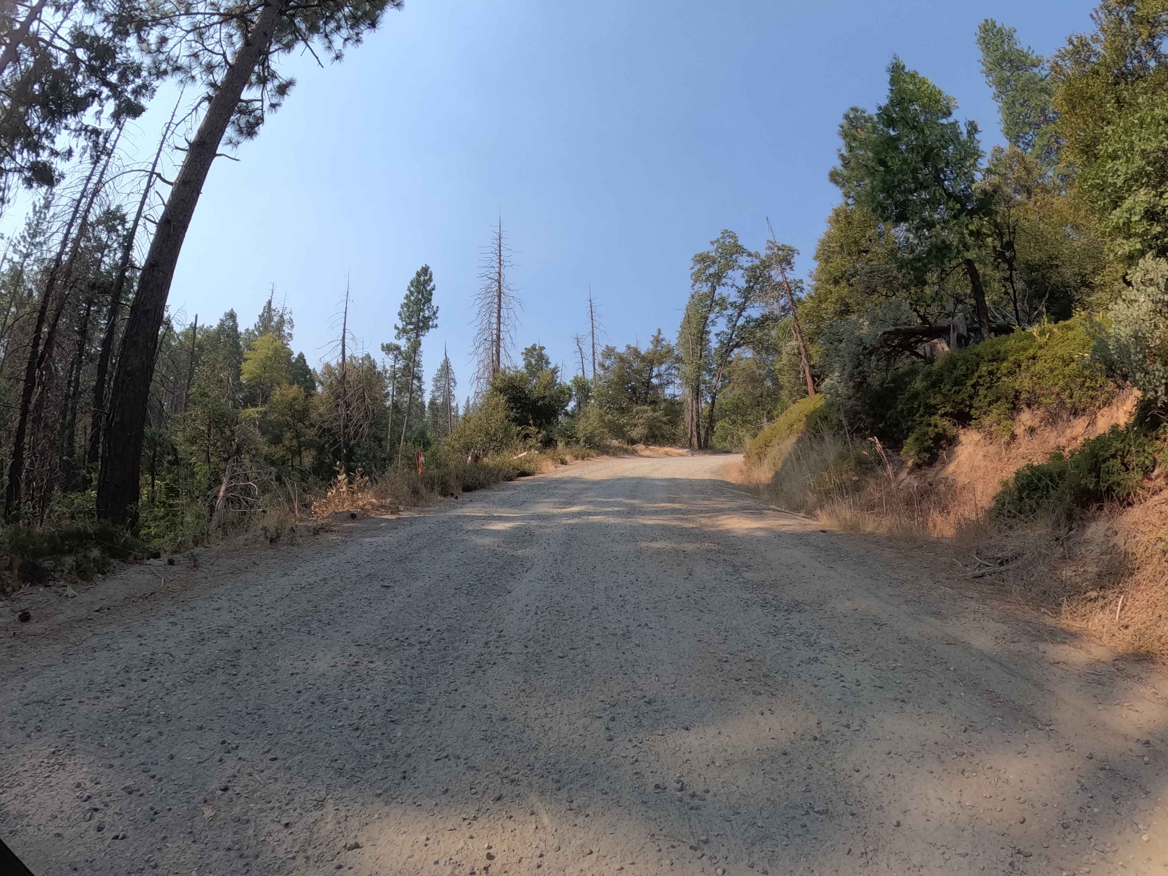
Photos of The Escape Trail


Difficulty
This trail has steep to very steep climbs and descents that are often very loose. You will traverse and cross some washes and drive along narrow spines and ridgelines. This is a remote route; while trafficked, it is relatively infrequent.
History
In February 1850, attempting to escape the clutches and perils of Death Valley, the Arcan and Bennett party led by William Manly and John Rogers abandoned their wagons and set out on foot along this route. Along the route, in the canyon that now bears his name, they found a deceased Father Fish who was also trying to escape the valley. As the story goes, at the summit of the route, one of the party stopped and looked back into the desert valley floor below and said, "So long, Death Valley", and the name stuck.
Status Reports
The Escape Trail can be accessed by the following ride types:
- High-Clearance 4x4
The Escape Trail Map
Popular Trails

Red Rock InyoKern North
Pole Line Road North

Big Johnson
Kamook - FS 6S041
The onX Offroad Difference
onX Offroad combines trail photos, descriptions, difficulty ratings, width restrictions, seasonality, and more in a user-friendly interface. Available on all devices, with offline access and full compatibility with CarPlay and Android Auto. Discover what you’re missing today!