FS 31E302
Total Miles
2.9
Technical Rating
Best Time
Summer, Fall
Trail Type
Full-Width Road
Accessible By
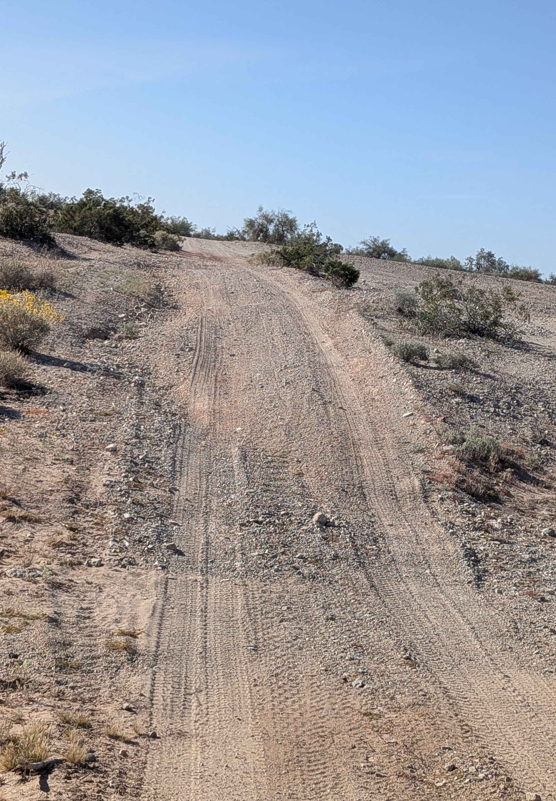
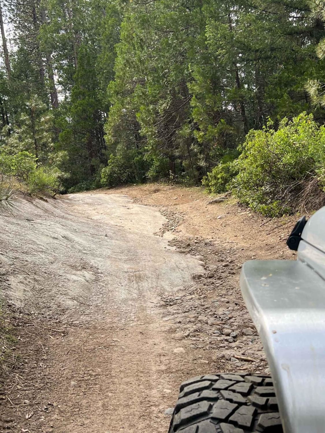
Trail Overview
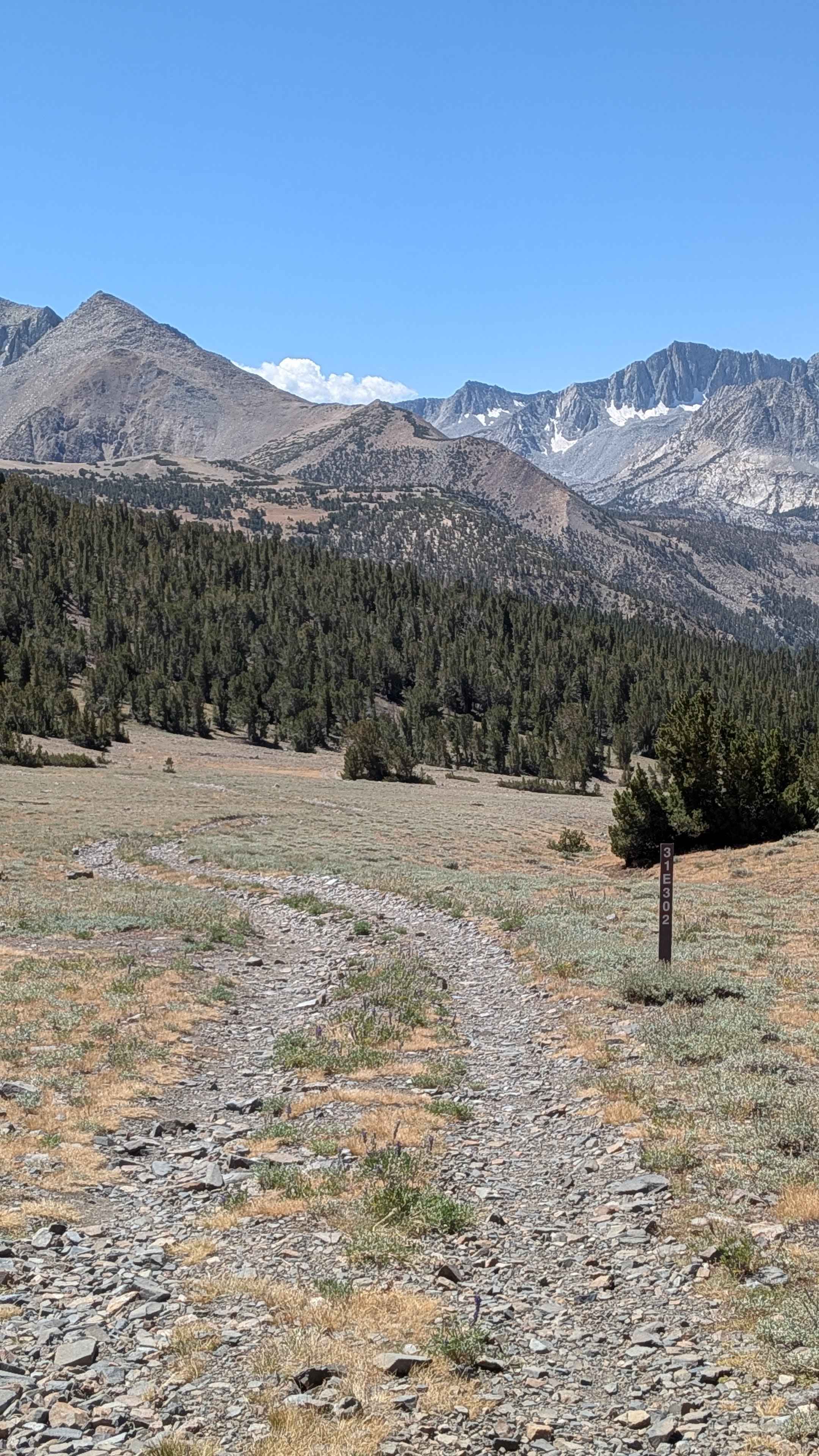
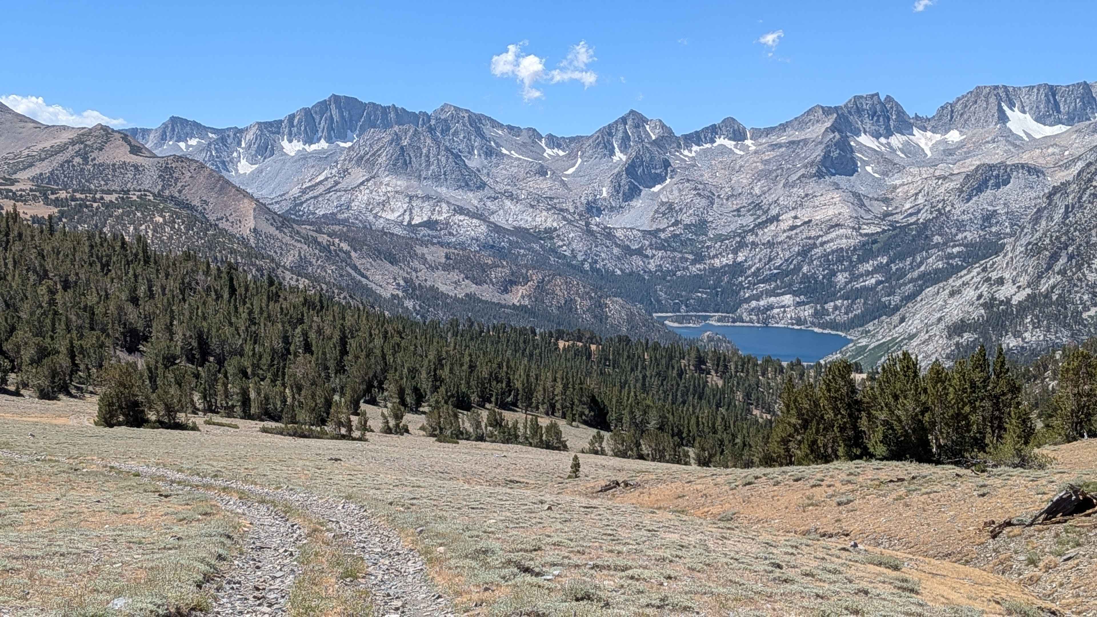
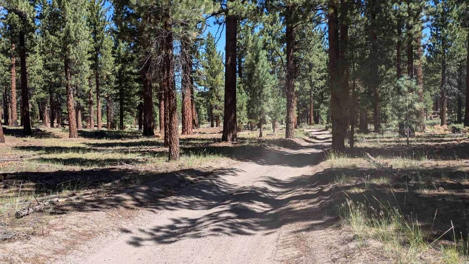
This two mile out and back trail drops 123 feet before climbing 564 feet to a high point of 11,112 feet, offering beautiful views of the Palisade Mountains in the Eastern Sierras and Brown Lake as you drop in elevation. The trail reaches the bottom after a mile with a small water crossing over a creek, then climbs up the other side through a pine forest where the surface transitions to more dirt and grass. The route ends overlooking South Lake and Highway 168 below, with patches of lupine wildflowers to enjoy throughout the journey.
Photos of FS 31E302
Difficulty
This trail earns an easy moderate difficulty rating with its very rocky surface consisting mostly of baseball-sized to pea-sized rocks, with some larger obstacles. The route features off-camber sections and some ruts that require careful navigation. High clearance 4x4 is required to safely navigate the varied rocky terrain and elevation changes.
Status Reports
FS 31E302 can be accessed by the following ride types:
- High-Clearance 4x4
- SUV
- SxS (60")
- ATV (50")
- Dirt Bike
FS 31E302 Map
Popular Trails
Trona Road to Randsburg Wash Road
South Fork Stanislaus River Trail (4N90)
The onX Offroad Difference
onX Offroad combines trail photos, descriptions, difficulty ratings, width restrictions, seasonality, and more in a user-friendly interface. Available on all devices, with offline access and full compatibility with CarPlay and Android Auto. Discover what you’re missing today!